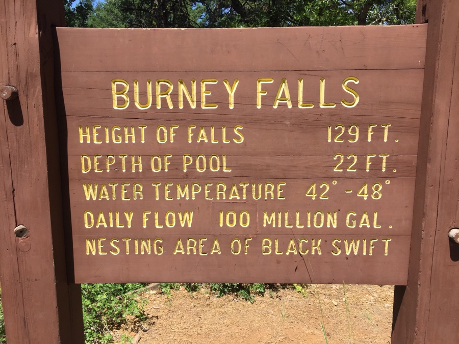
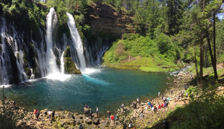
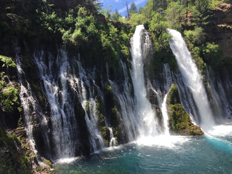
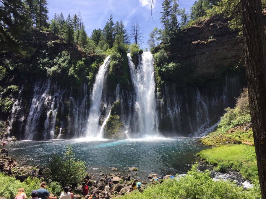
From McCloud down to Lassen we had two stops scheduled; Burney Falls & Subway Cave. Blindly punched in Burney Falls and Google sent us on our way and past what I thought was the main entrance to the falls. No, said Rose, we turn a bit further on and started down a rather narrow road. When I saw a sign saying “trucks must turn around here”, I turned and we unhooked the Subi to explore. Turns out that on this side of the river there is free parking along the road and the other, main side, is a payed parking. The reason this all works is because there is a convenient trail that loops around connecting the two sides.
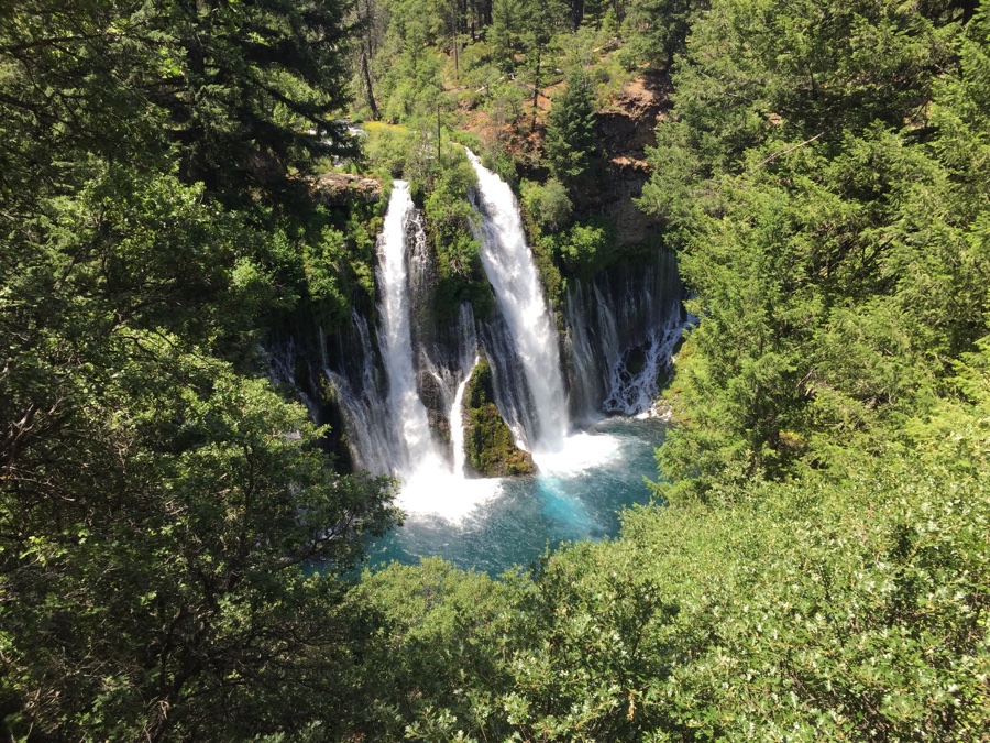
The falls are quite impressive with water pouring through fissures on either side of the main river flow.
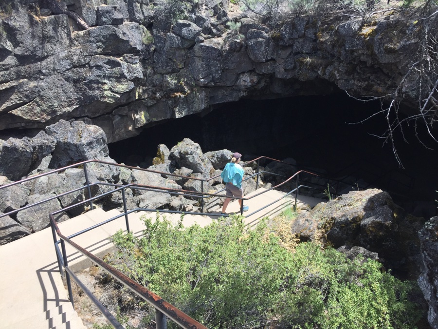
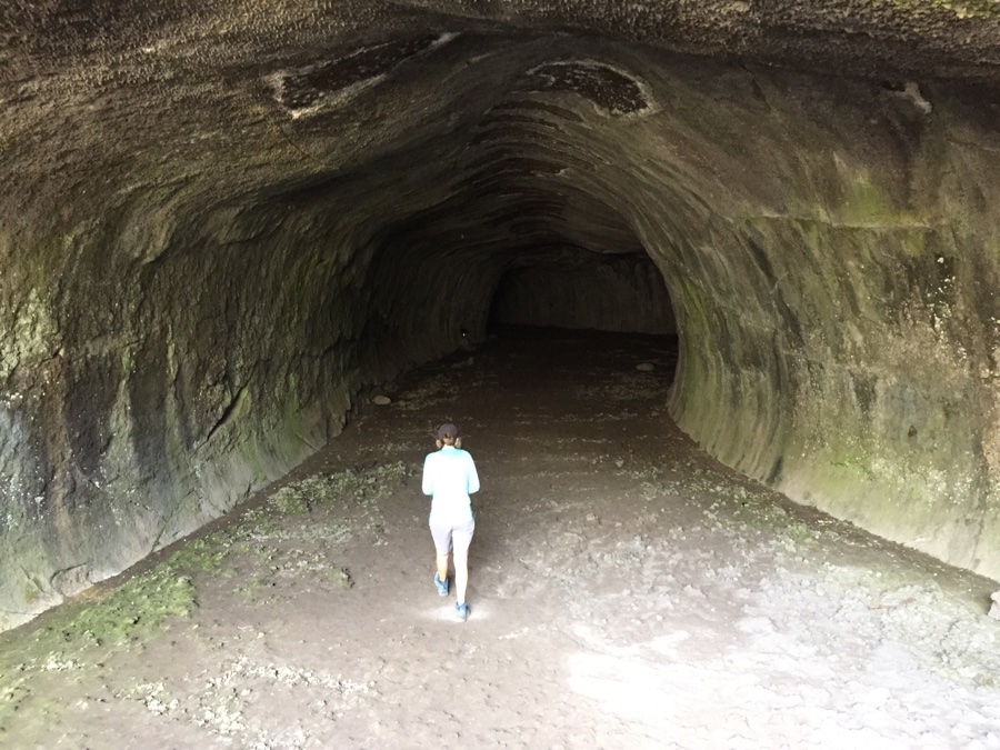
Subway Cave Lava Tubes are large, 1/3 mile long, and completely dark inside so bring along a few flashlights. The inside is large and airy as you walk through it’s length.
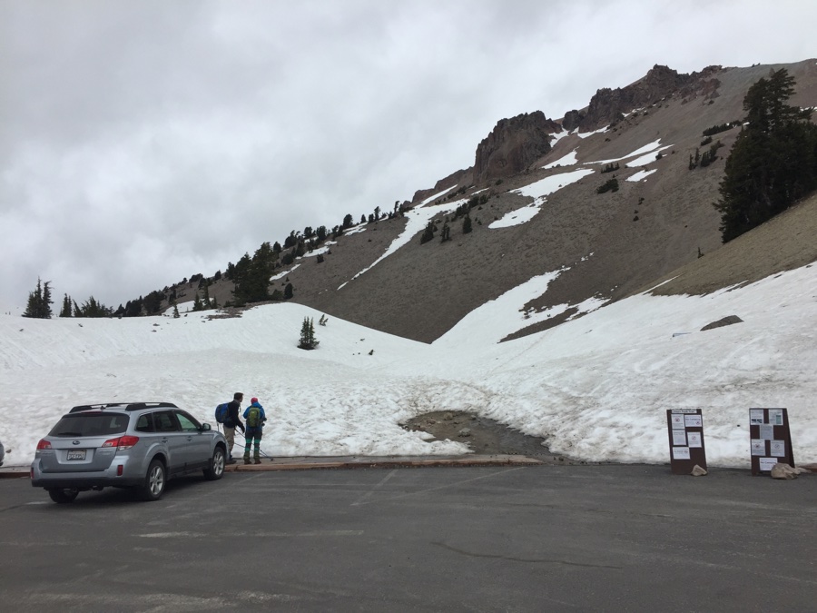
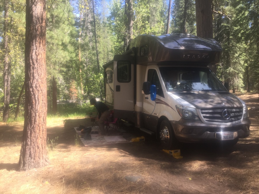
At Lassen we had reservations for Manzanita Lake campground located at 6,000′. Next day was cold with some rain forecast so we drove the length of Hwy 89 from the north to the southern entrance. Stopped by the road highpoint, 8,500′, to check out the trailhead up to the peak at 10,460′. Conditions were cold and overcast – think I’ll stay away for today even though there seemed to be people on the trail.
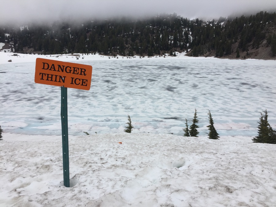
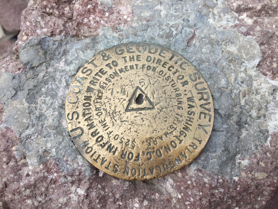
Next day the clouds had moved on but the wind still had a bite in it as we set off for our summit hike, 2.5 miles one way and almost 2,000′ of gain.
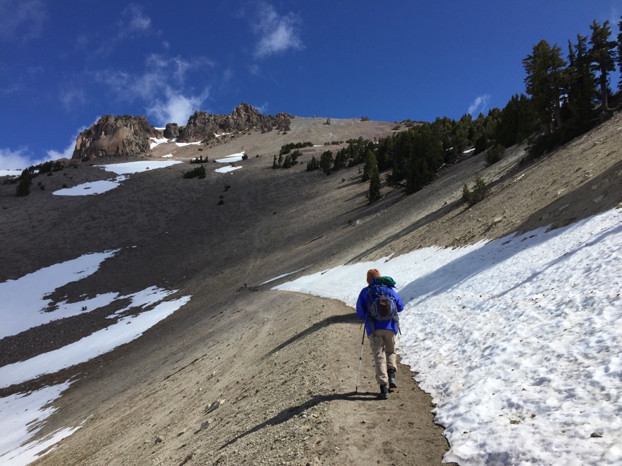
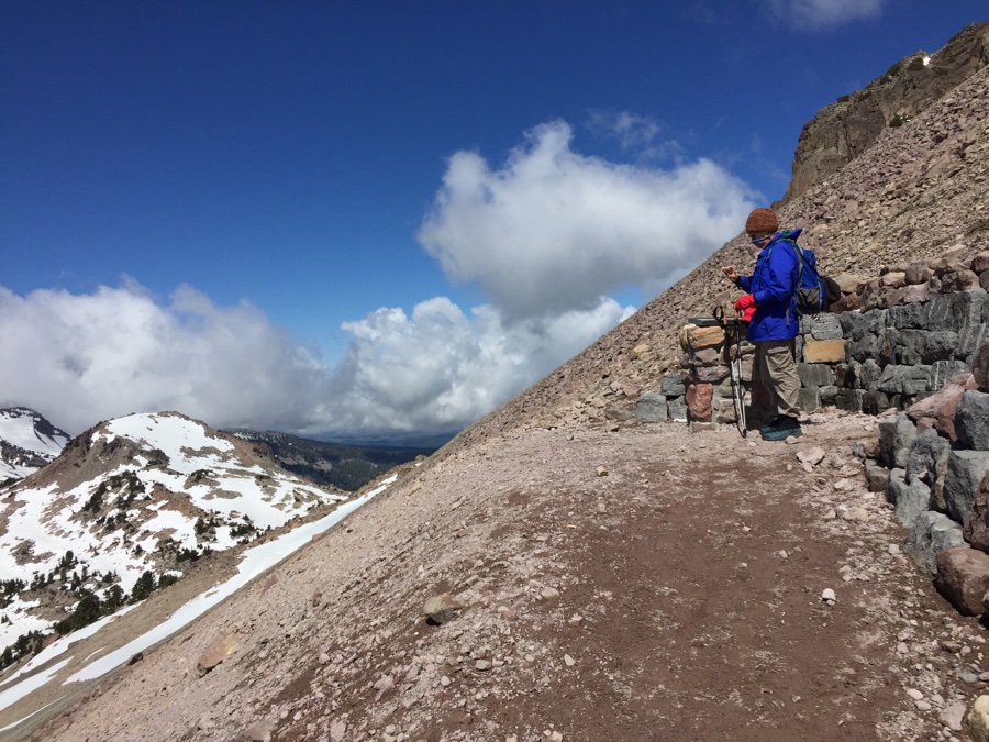
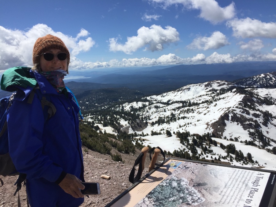
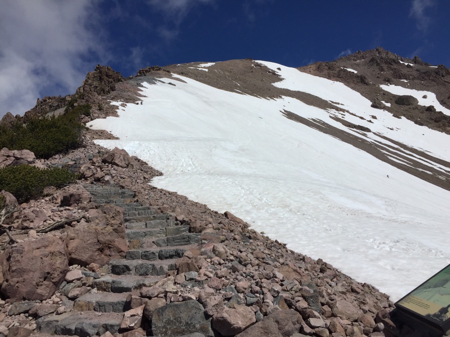
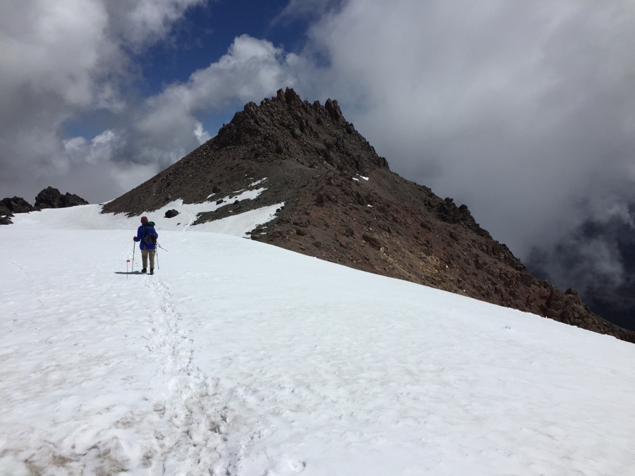
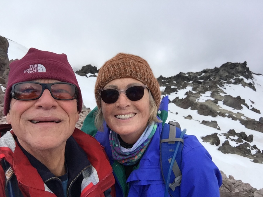
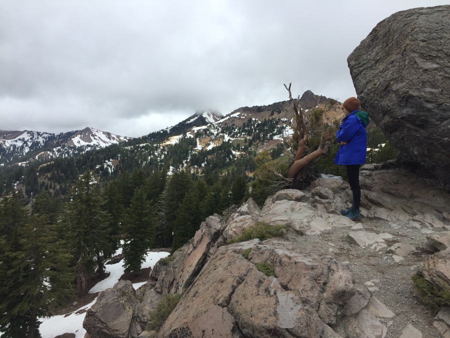
Enjoyed the hike and glad we made a relatively early start as most of the tourists were ascending while we made our descent.
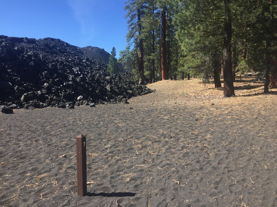
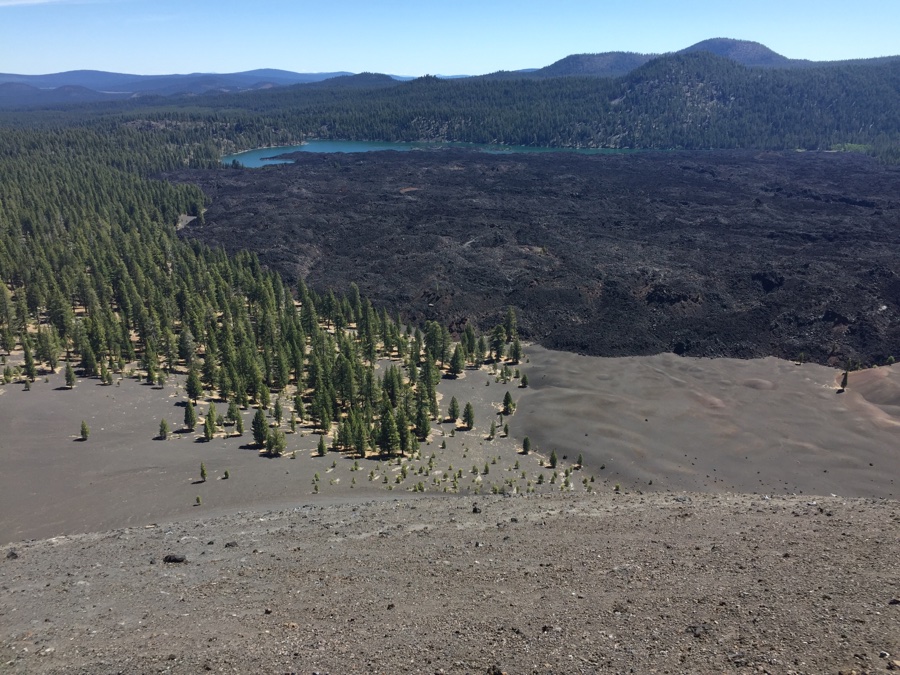
Manzanita campground was crowded and as I had two reservations for 3 days then 2 days, we cancelled the 2 days and took a chance on finding a place in the NE corner where we wanted to visit Butte Lake and hike up Cinder Cone.
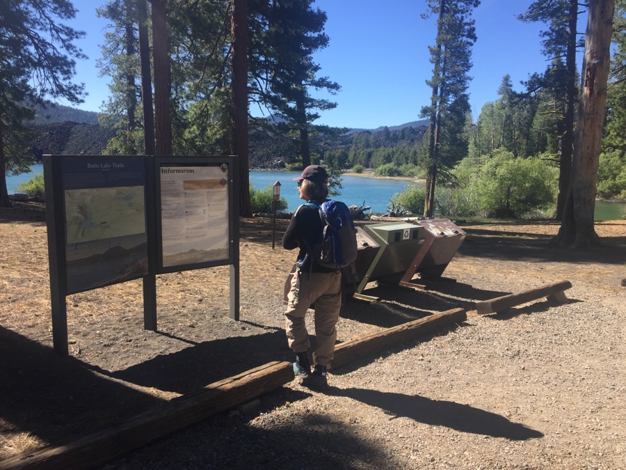
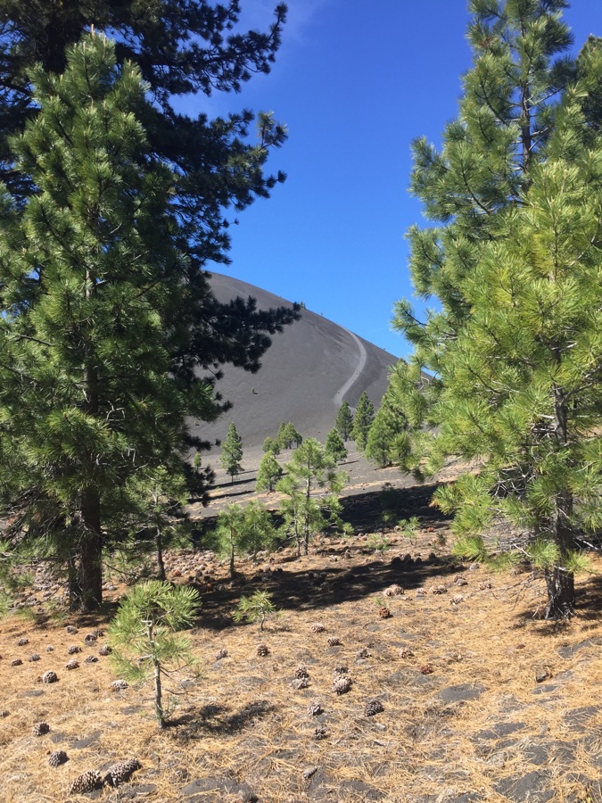
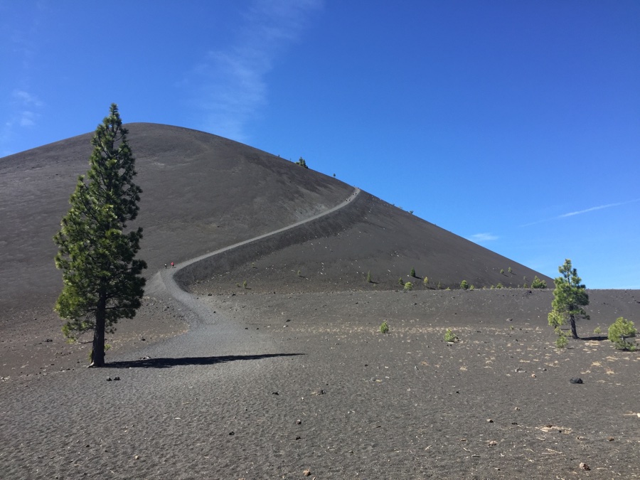
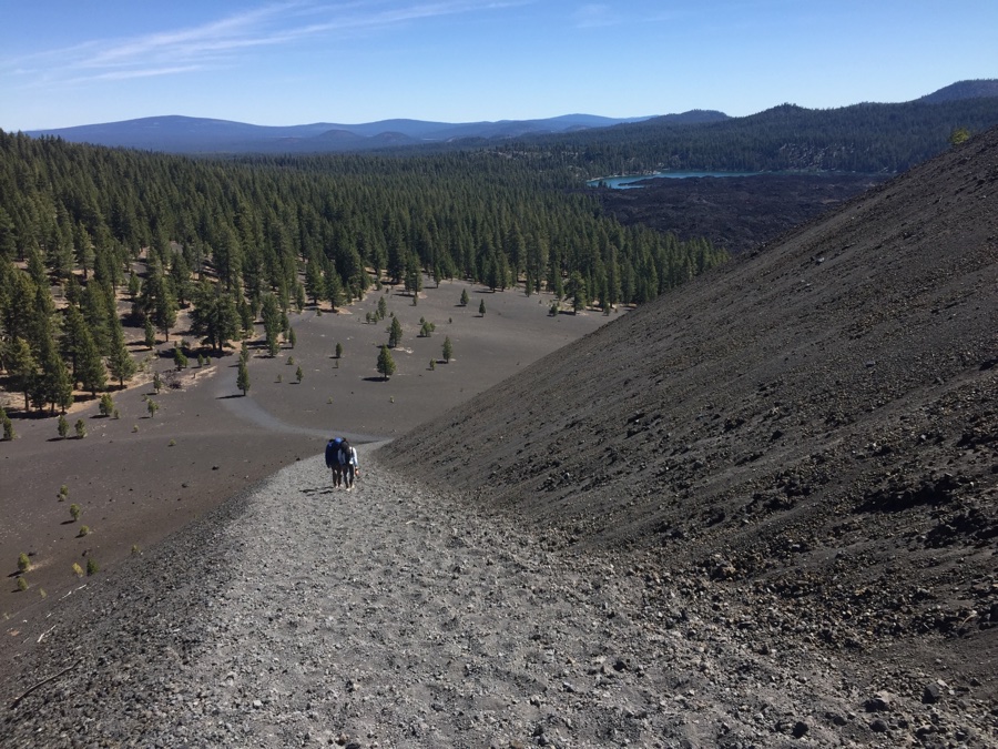
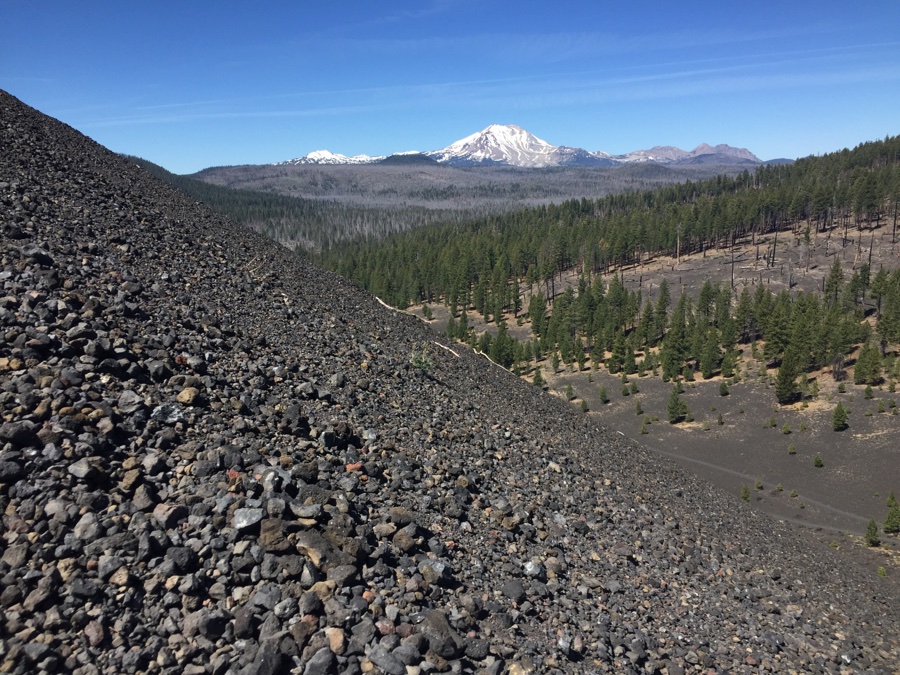
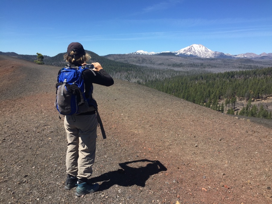
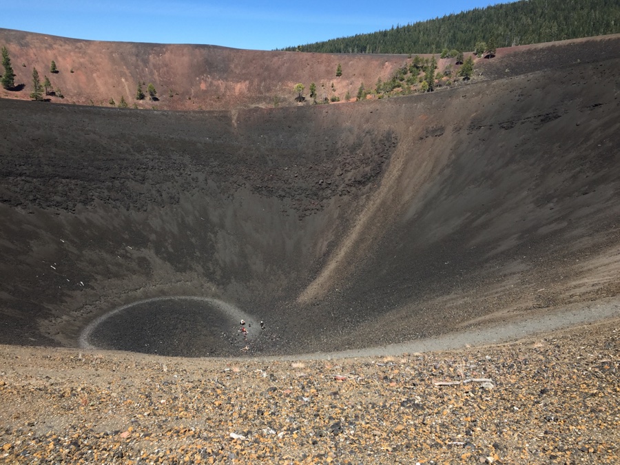
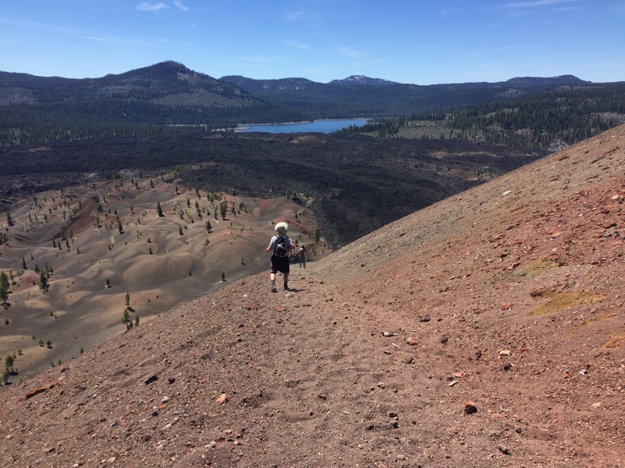
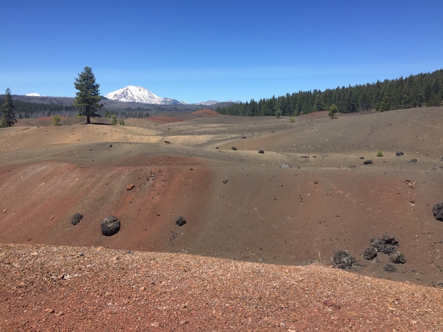
Like the lava tube there is the Cinder Cone hike which provides some unique views of the volcanic origins of the area.
Next stop will be Graeagle and then down to Truckee.