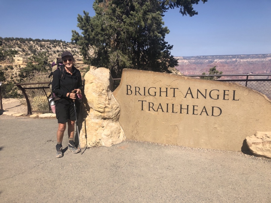
This all started about a year ago. We were planning a trip to the Grand Canyon with Ann & Jerry for May 2020 including a round trip hike to the bottom. Jerry had procured a camping permit for the bottom and we both had spots reserved in Mather campground but then along came MR Covid and it was all shot to hell in a hand basket. We pushed out our trip to October 2020 and booked another campsite in Mather at the opening of their 6 month window. Also managed to get a hiking campsite down in Bright Angel campground which was pure luck as they are in short supply. So we were all set to go, this time just Andre & Rose.
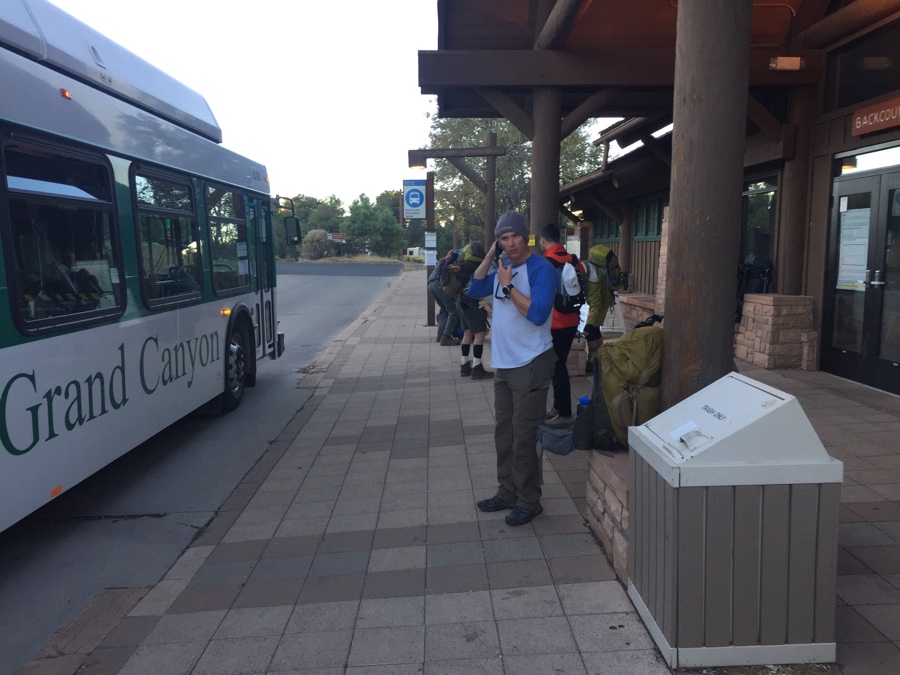
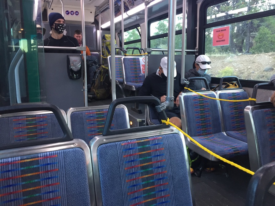
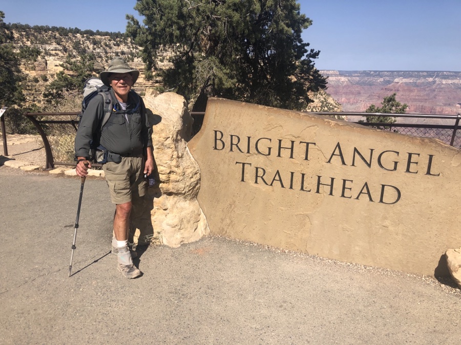
First of all Mather closed the campground to new reservations but honored old ones, the result was that the place was almost empty when we arrived except for some deer who now regarded it as their exclusive territory. Plan was to hike down S Kaibab and then up the more popular Bright Angel trail. S Kaibab trailhead is about 2 miles away but luckily there is a “hikers shuttle” running at 6, 7 & 8 am. Sunrise is at 6:30’ish so we settled on the 7 am one.
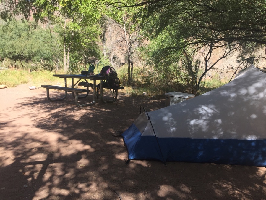
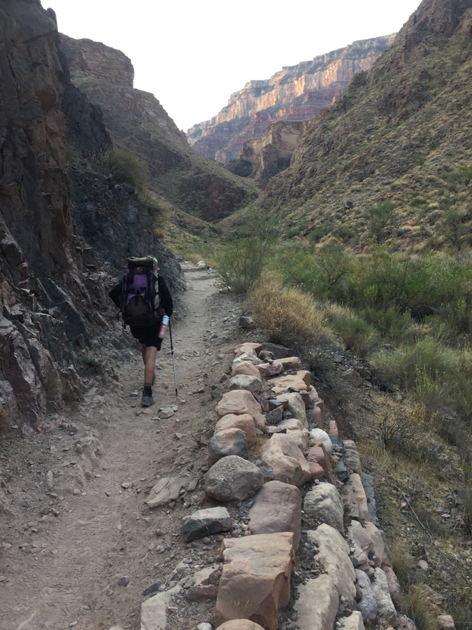
Packs were down to 22 odd pounds but a 3 liter water bladder brought it up to 28 lbs. S Kaibab is dry till you reach the campground whereas Bright Angel on the way up had water along the way.
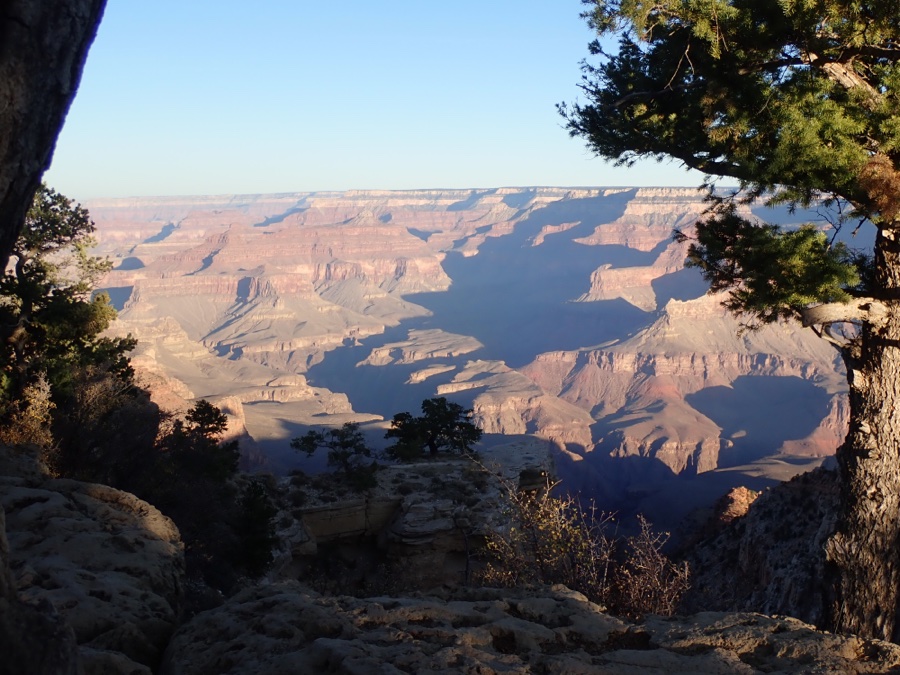
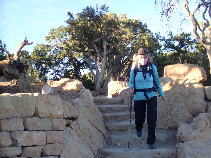
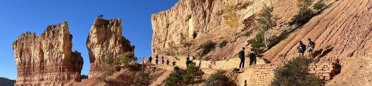
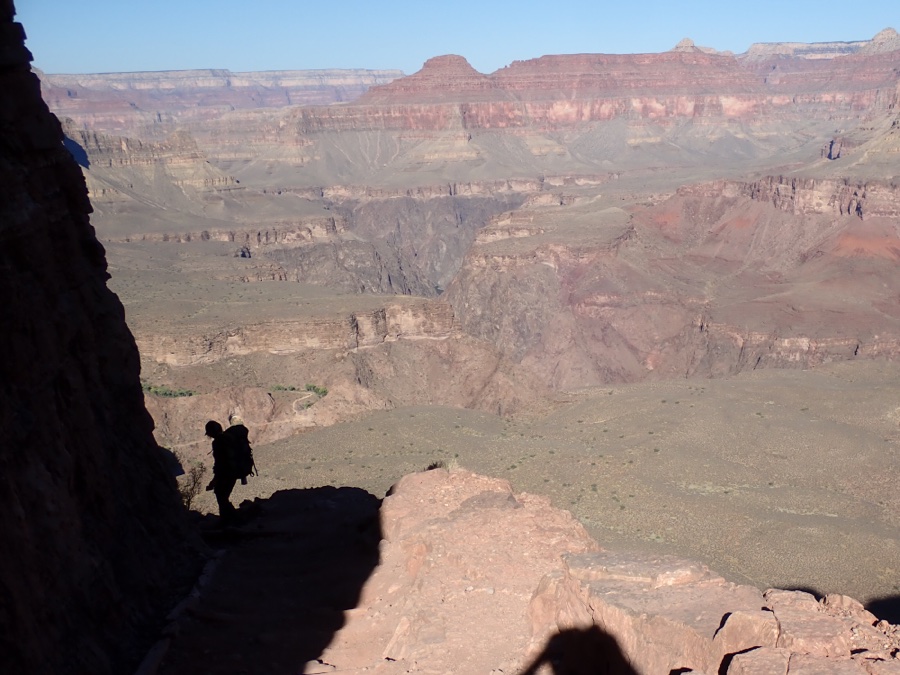
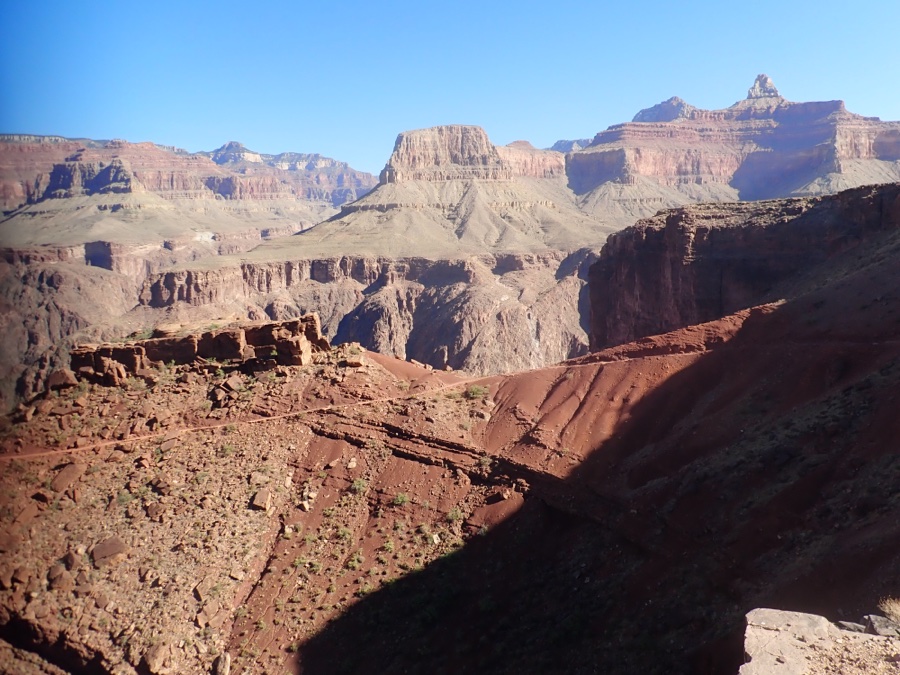
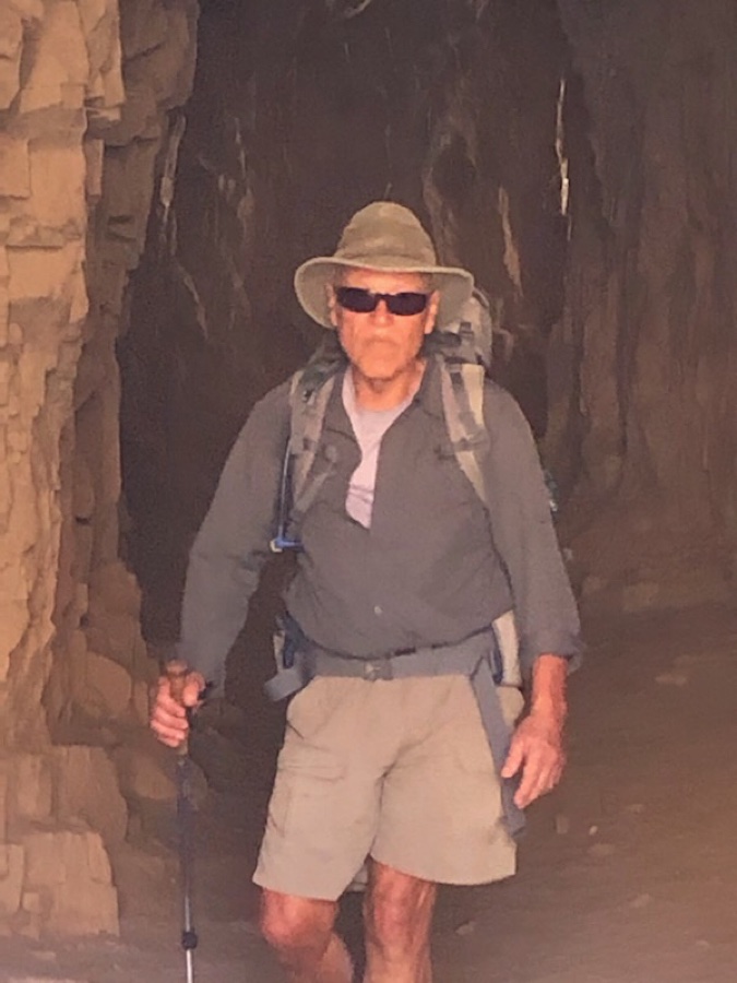
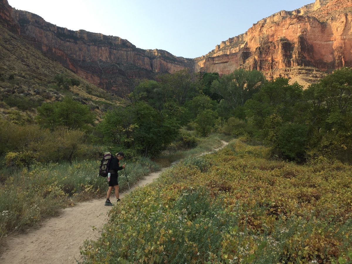
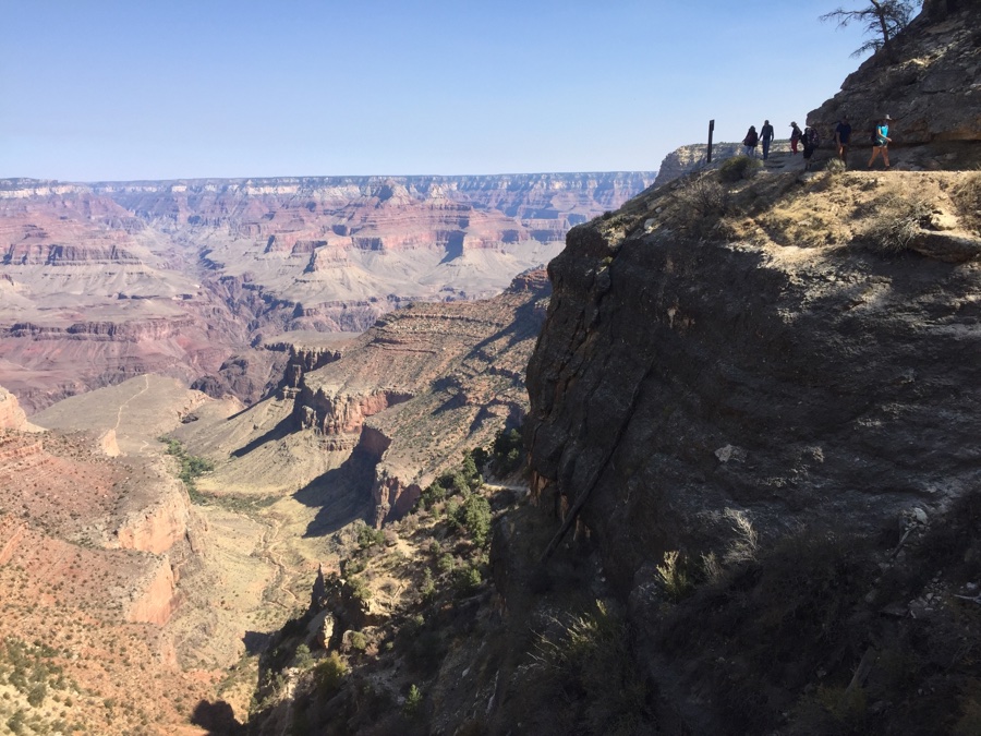
Like all south rim trails it drops off steeply and I realize I have to look after my knees which need tender loving care for the jarring on the 6.5 mile, 4820′ descent.
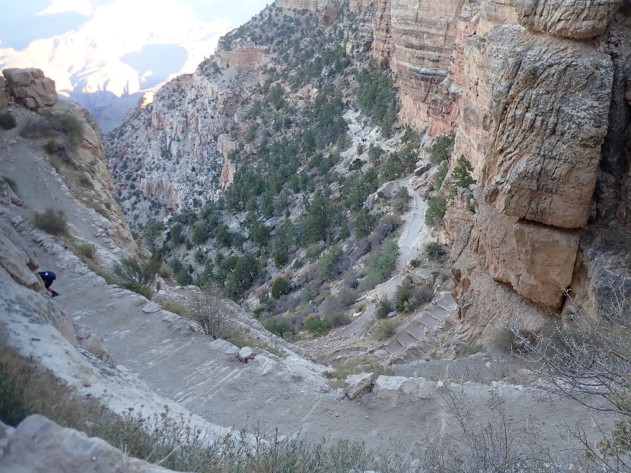
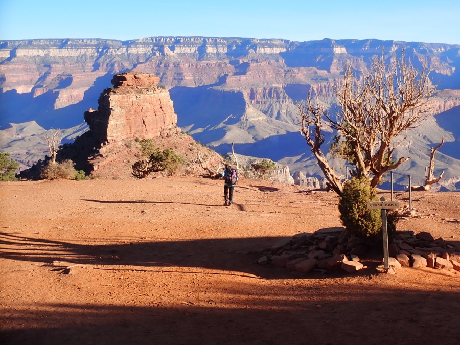
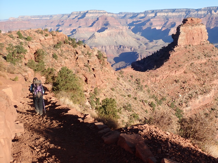
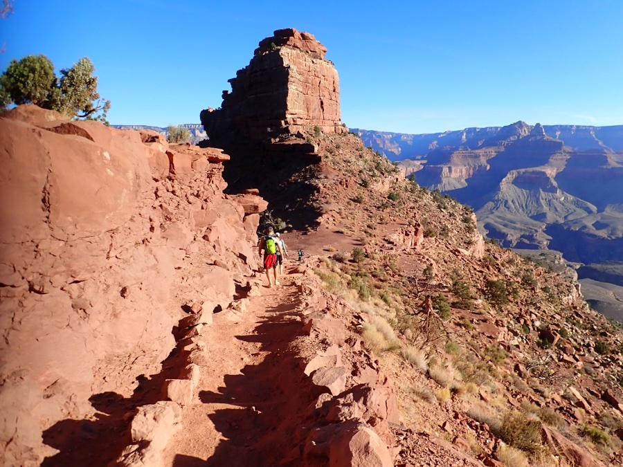
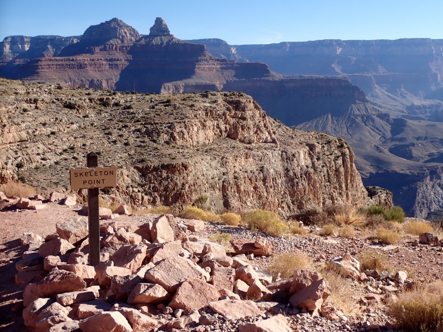
There were people on the trail but it was not really busy. A few backpackers but more day hikers, some knew what they were doing others did not. We nicknamed one couple “coffee cups” as they carried them down with them. Skeleton Point above is the furthest the parks suggests day hikers go (3 miles & 1400′ down) but many go further.
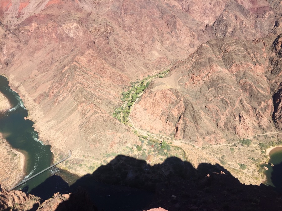
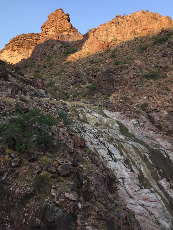
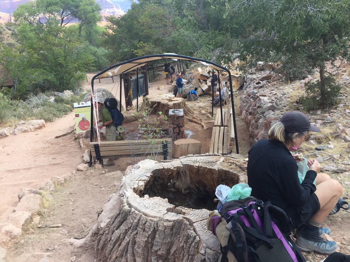
It was hot down in the canyon, about 20F hotter than at the rim making it in the 90’s. There are 30 odd campsites along the creek and we found out from the ranger that they were not all occupied, not because of Covid, but because their aging sewer system cannot handle the number of hikers passing through.
Relaxed, walked up to Phantom Ranch and had a mug of iced lemonade at $5 each as there was no beer available and ice cubes were in short supply.
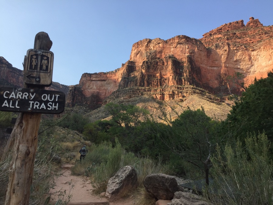
Next day was the hike out. Now it gets light at around 6:30 am and we planned to be moving before 7. Way before that I hear a racket on the trail and there is a group of 12, all with headlamps, traipsing down the trail. I thought they were nuts as I got up, still in the dark, to make coffee for our leisurely daybreak start.
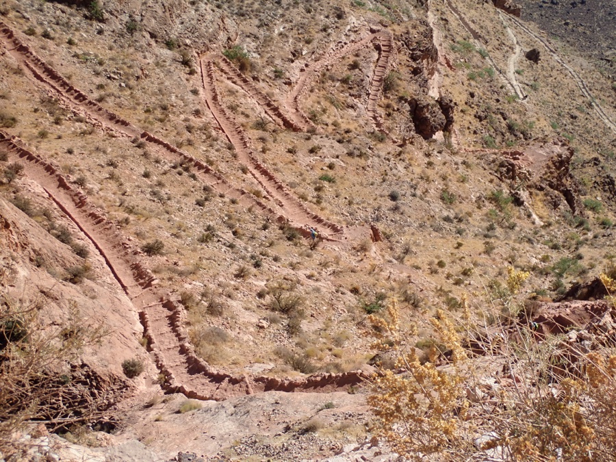
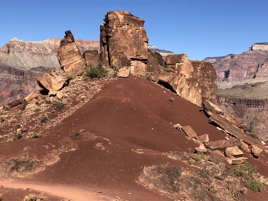
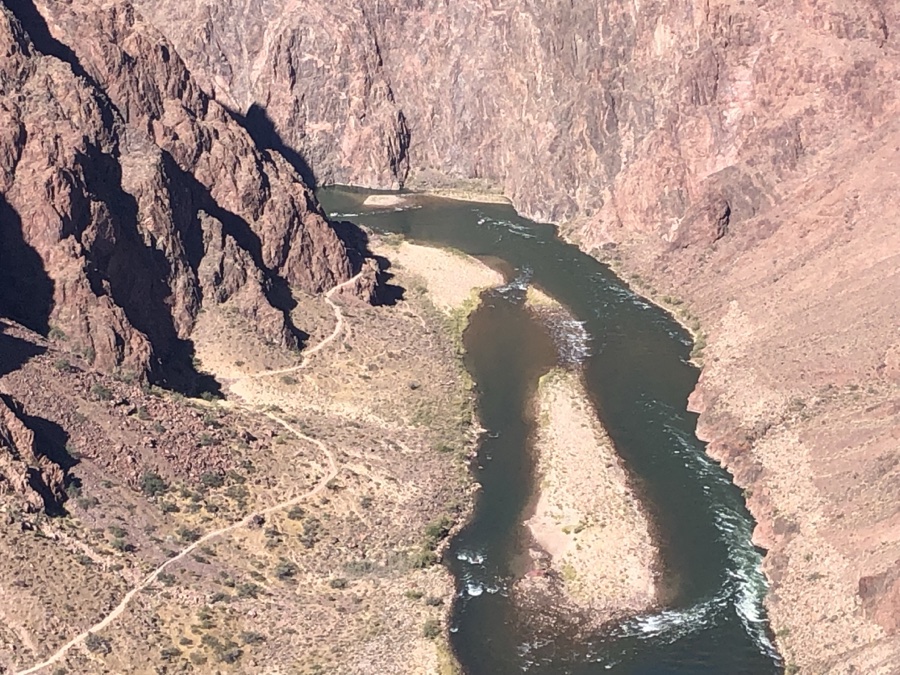
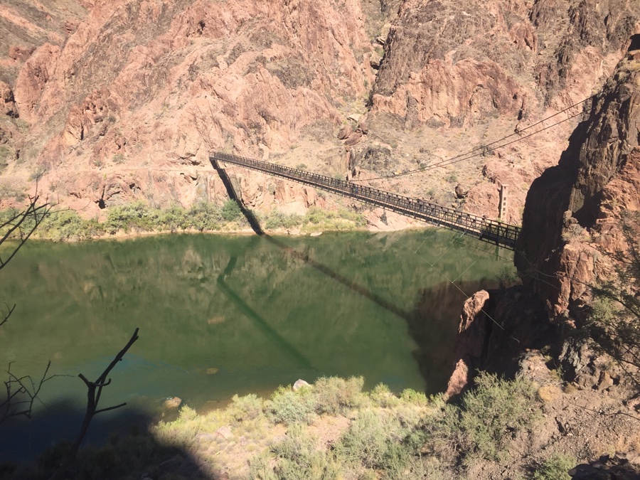
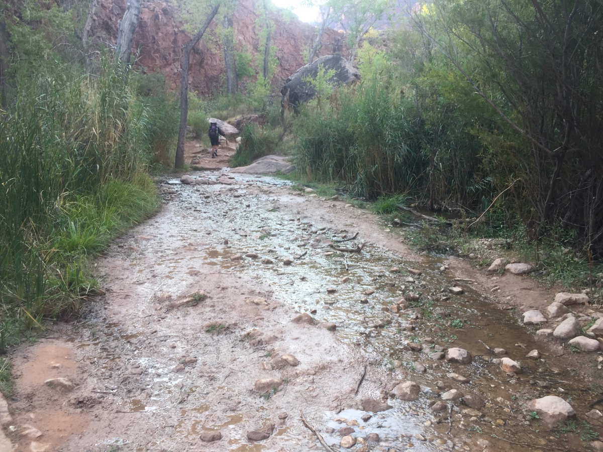
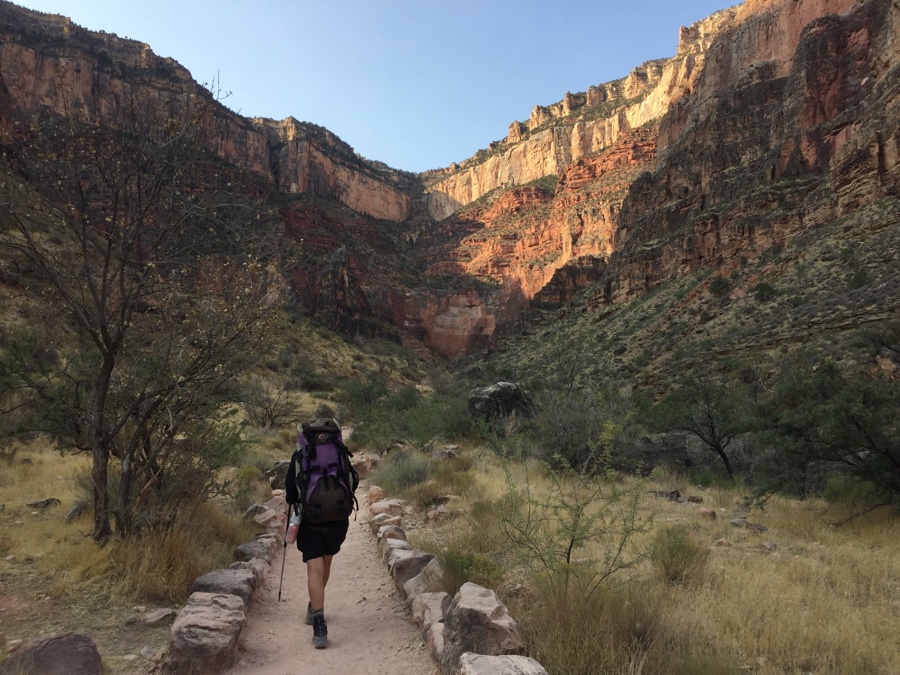
A short walk back down to the Bright Angel bridge back over the Colorado and then the trail parallels the river for around a mile till it reaches Pipe Creek. Now Pipe Creek, think mini canyon, winds it way up from the river and leads you to Indian Gardens Campground 4 miles from the bottom. It’s pleasant, green and moist as you meander your way up and catch walls of early morning light on your way.
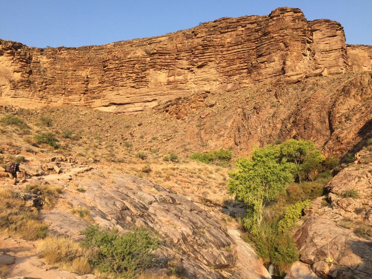
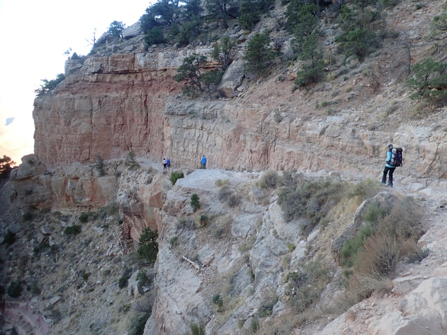
Indian Gardens is a hub of activity. As we came in there were day hikers from the campground going to look at the river, the fast day hikers from the rim coming down and local campers hanging about. We filled our water bottles (we carried less than a liter of water each on the way out) and ate sandwiches.
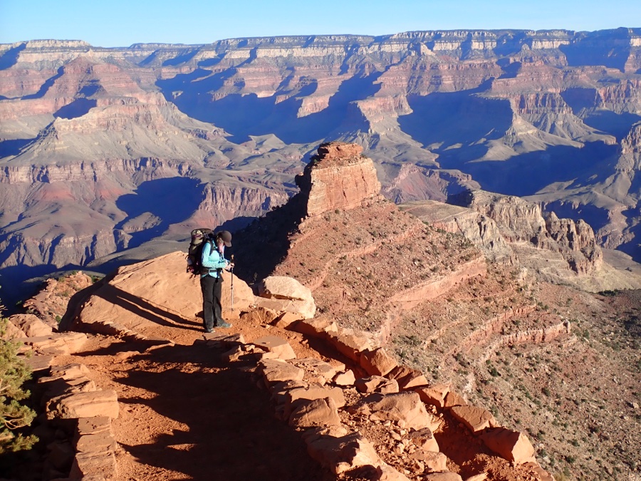
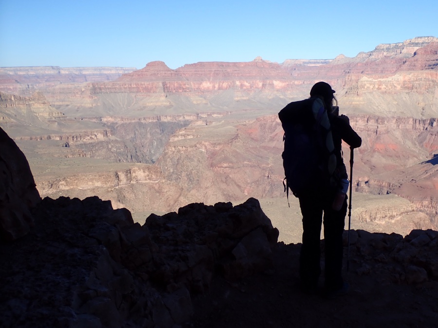
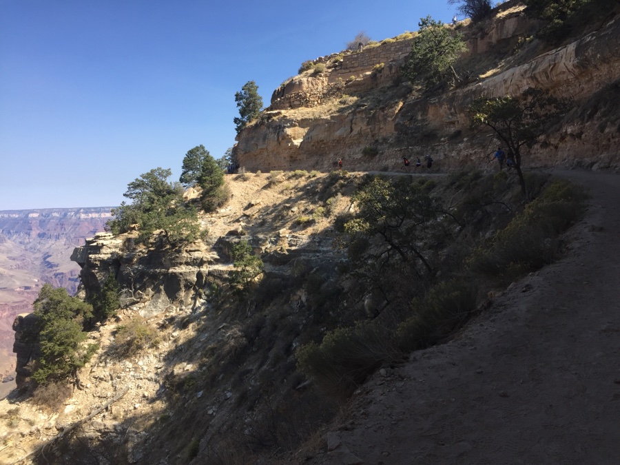
Heading up from Indian Gardens you start to focus on the exit strategy. As you can see we still had plenty of shade but 4.8 miles and 3000′ to go. There is water at 3 & 1.5 miles from the top with 1000′ in between each.

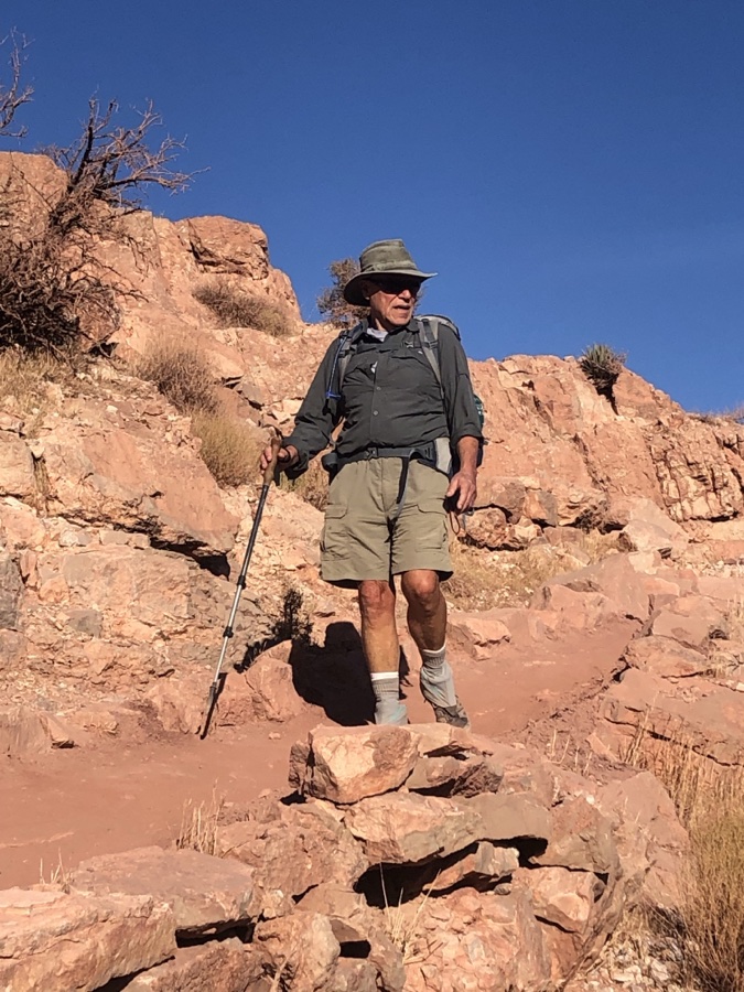
I felt much better on the hike out than coming down and in the end we cruised out the 4900′ in 5 hrs, not bad for our generation!

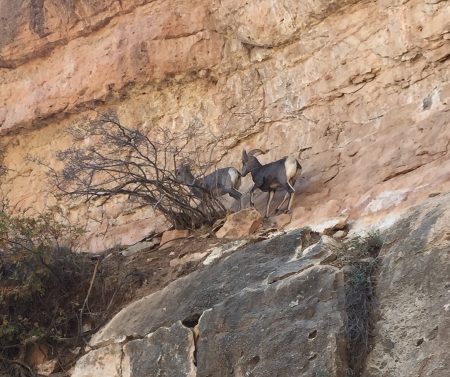
Near the top we saw the above big horns on the trail being spooked by all the tourist traffic. They were up to the right of us and went around a corner out of our view. Moments later they came towards us on the trail and passed within feet as they struggled to get away from us human invaders.
Quads felt it for a day or two but we basked in the knowledge that we did it but not sure we would do it again!