Whats Going On?
Years ago I went on this hike over a memorial Day weekend and remember hiking alongside the Tuolumne river and getting chased out by a spring snow storm. Rose will attest to the fact that ever since I have been threatening to hike it again but logistics and commitment have stalled me. 2013 will be different and early into the year I got Rose’s blessing that if I get it together we will give it a shot.
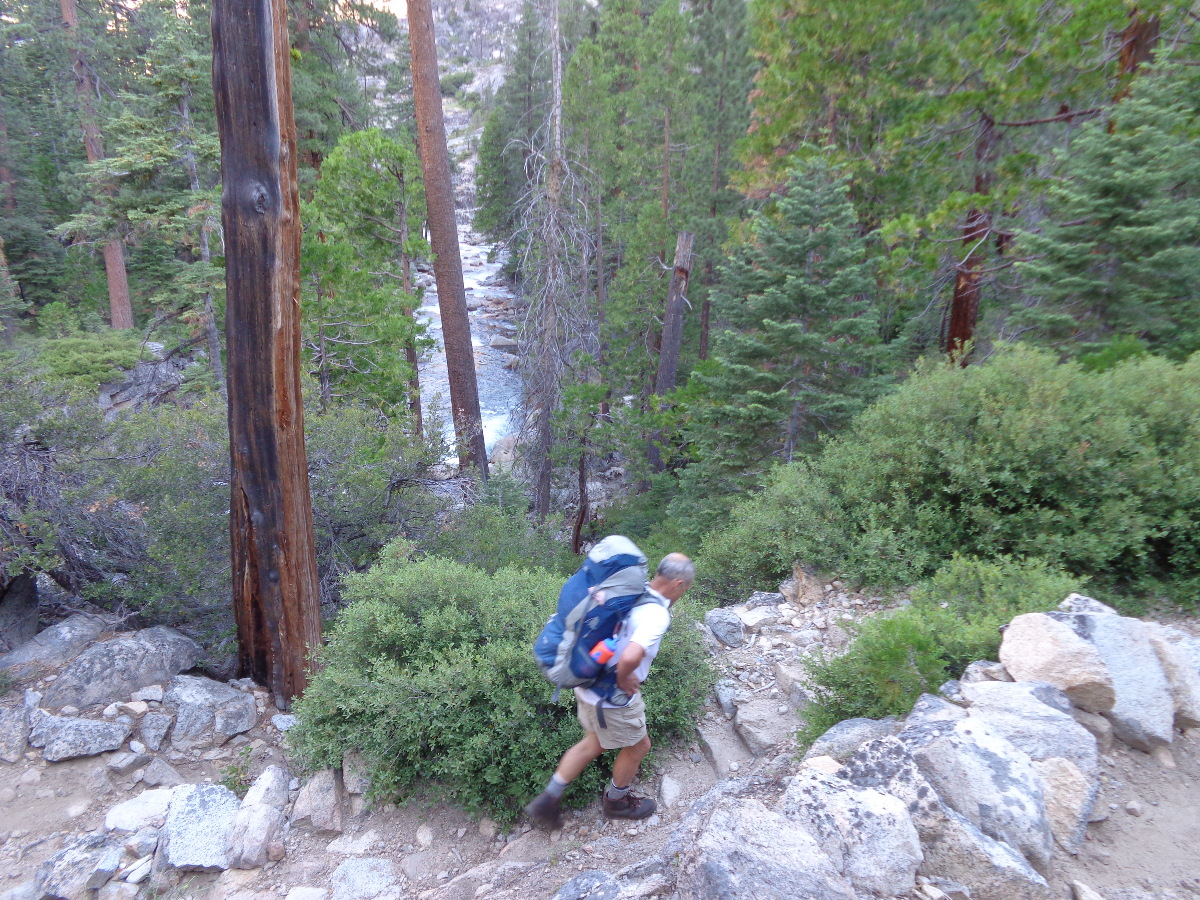
Logistics are that it is a one way, shuttle, hike off Highway 120 or better known as Tioga Road that bisects the Sierras in the Yosemite National Park. Our hike starts at White Wolf, drops down into Pate Valley and then follows the Tuolumne River back up to the meadows above where all the tourists congregate, 29 miles but maybe I can call it 30 with the usual wrong turnings and obligatory side trips. Now at 61 and counting my body no longer has the reserves of a 20 year old and I have to be more careful what I get myself into. Rose knows this as Andre’s fretting and procrastination which is another reason why it has taken me so long to get this going.
Reserved the permits, and gathered all our gear and food lists together so that our packs don’t exceed 35 odd pounds. There were just the two of us so I pondered how to handle getting to the start at White Wolf and then getting out at the Meadows. Me?, I like having the car at the finish line stocked with lukewarm beers for a clean getaway. Could drive up, drop Rose & packs, drive back and hitch a ride to Rose. “What if you don’t get a ride?” Rose laments? More Google’ing and I find a bus that runs once a day from the Meadows down to the Valley and past While Wolf. Excellent, except that it departs at 2 pm. More discussion and we agree to an early start out of LA on the Wednesday.

I think I have it all together and as Wednesday rolls around I am up at 5:30 am making Rose cappuccino and packing the car with last minute food bags. We’re on the road and after a quick gas stop hit the freeway at 6:34 am – not bad. Man it’s sweet getting out of LA at that hour when the peons are driving in to fulfill their contracts. Mojave is ahead of schedule and we purr on in the red Prius towards Lone Pine. A quick pit stop at the visitor center to rid us of the morning coffee residue and it’s on to Bishop where we hope to gas up and grab a bite to eat for the last hour and a half up to Yosemite Park.
“Where’re the water bottles?” Rose asks. Shit, they’re in the freezer at home. OK, it’s time for new ones and we have an unscheduled shopping spree at Wilsons Sports. A sandwich To Go from Schatt’s Bakery and we’re still on schedule for a 1 pm Tuolumne arrival. Hang a left at Lee Vining and we get the touristy feel as we join the RV’s and loaded cars heading up the grade. At the park entrance there is a line of cars waiting to pay their $20 tithe and we know we are close. Head straight for the “Wilderness Permits” office and a wholesome young lady asks us if we know what we’re doing and where we’re going to store our food so that the bears don’t feed off it. Get the permit and we’re off to The Store where the bus will pick us up. I drop Rose & the packs and park the car in one of the few spots left on the Lemberts Dome Road where we hope to be 3 days later. A quick walk back to Rose and we have 30 minutes to rest before the bus arrives.
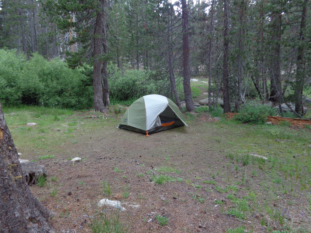
We’re in luck, the bus drops us off at the White Wolf lodge which is a mile off the main road which I thought we’d have to walk. Grab our packs and we walk over to find the backpackers campground. Camp Host Bill intercepts us, says we can cut though his site as long as we have a permit and have paid the $5 fee. Place is deserted and we pick a camp table and I start to pitch the tent. Rose disappears off in the opposite direction and just before I start to worry she re-appears caring a six-pack, actually 4 beers she found at the lodge. We settle down to Chips & Dip and mellow the brain cells on the welcome Sierra Nevada Pale Ale. “What’s that?”, Rose asks. “What”, I ask. “It’s hailing, look.” The ground was getting strewn with marble sized hail stones. We high tail it into the tent and lie still as the rain fly gets pummeled. The thunderstorm passes after 30 minutes leaving a soggy ground and messy tent from all the splatter but luckily we are all dry and polish off the meatball pasta together with a bottle of wine before we had to actually carry all our food.

Thursday

Overnight the backpackers campsite filled up with plenty of late arrivals and we settled into our routine of up at 6 am, me that is, to get the stove going for coffee and an 8 am departure. Our neighbors were quickly tagged the “4th of July’ers” because of the shirt one of the group was wearing. They were a young bunch and announced they were also going down to Pate Valley but would push on up a different trail to camp at Pleasant Valley. OK, I thought. Maybe, but you look pretty disorganized to me. With that we left them and headed out past Two Green Tents containing 3 young ladies, one Asian who seemed to be the de facto Boss. Two Other Guys had left earlier but we paid no attention and enjoyed the moist trail as we warmed up through the pines.
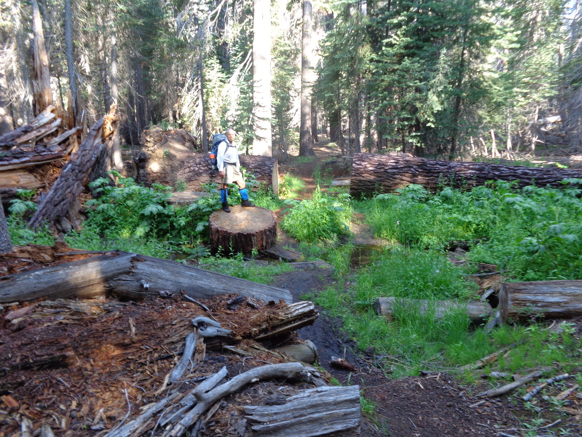
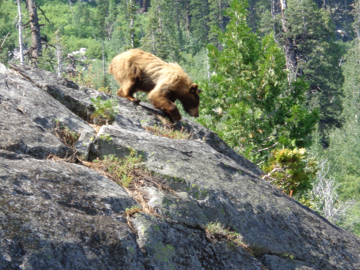
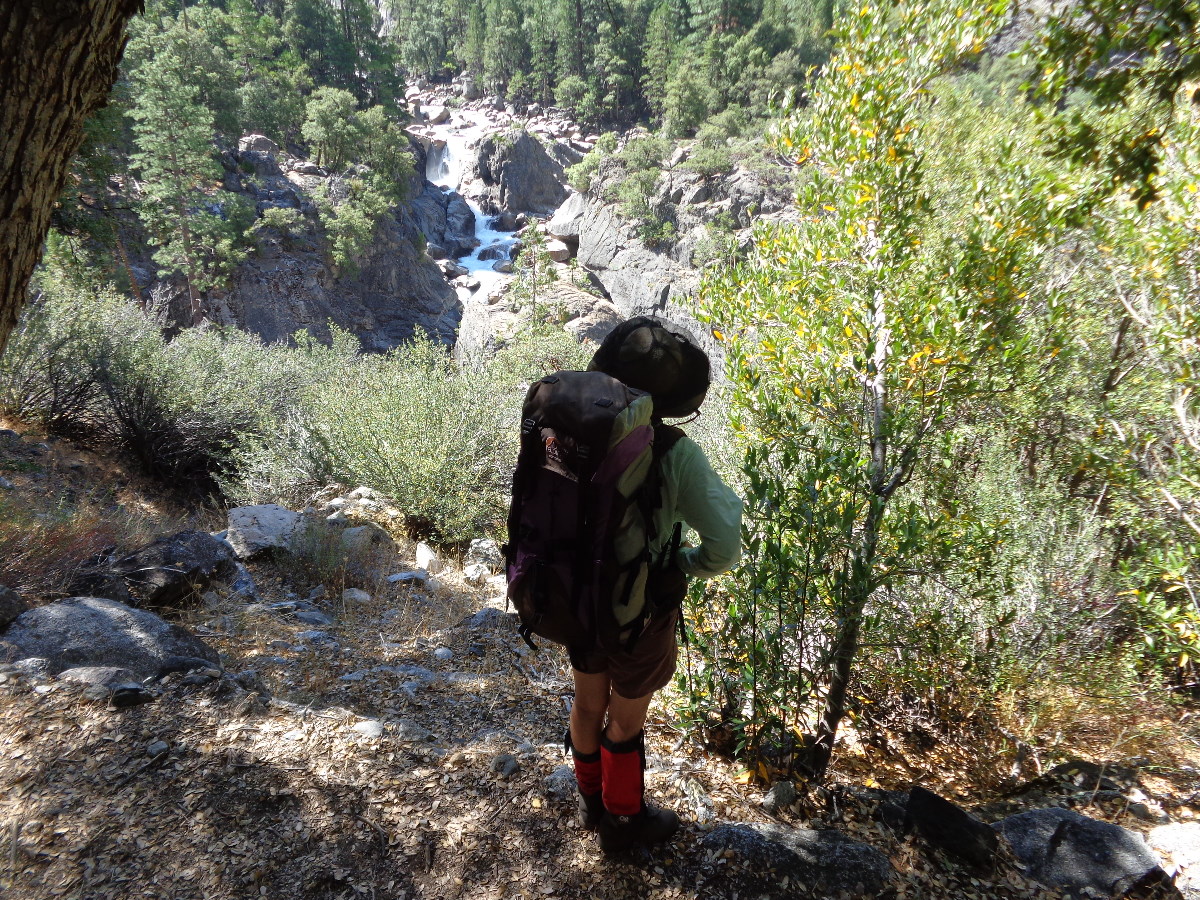
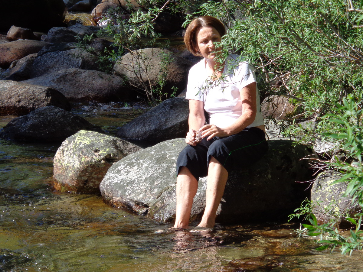
It was really nice to be on the trail again especially now before the heat, crowds and after the previous nights rain. It’s 10 miles to camp and mostly downhill as we drop 3,000 odd feet down to Pate Valley. 4 miles out we join a junction and traverse for a while while the trail finds it way down through the rock bands. I am in front by about 20 feet and a branch braking makes me look up to my right, actually up & behind me expecting to maybe see a deer. That’s no deer as my eyes focus and see the obvious bulk of a bear heading down a ridge behind me. He does not seem to see or want to see me and I call out softly, loud: “Rose. Bear! Get over here!” She catches up with me and I ask for the camera. She does not want to have to pull it from her pocket but gives it to me and pushes past me to continue down the trail. Turn it on, point and shoot, and we’ll see what comes out. I hurry on and we both glance back every 10 seconds to see if he might be following us. Keep going, make some distance, before we recover and are able to recount the encounter to each other. Wow, that was some scare and the closest I’d come to what looked like a very healthy bugger!
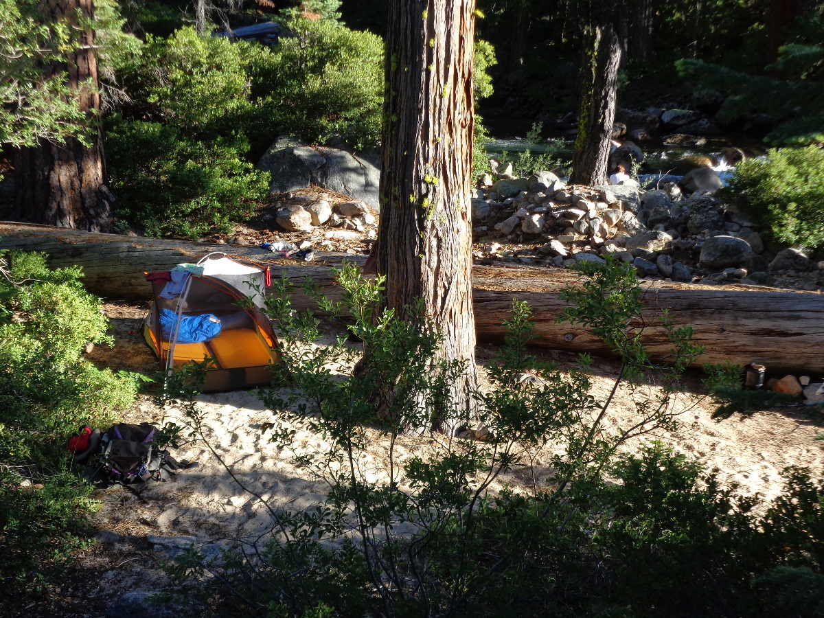
It’s hot as we follow the switchbacks down and negotiate the trail strewn with rocks waiting to trip you up. The river comes up at 8 miles and is also our lowest point as we follow it up another 2 miles to Pate Valley and the junction for the Tuolumne River. Lousy selection of campsites, all dusty & open, but we find one on the opposite side of the river where we are alone and able to watch the trail coming in.
Blue Shirt comes wondering in and asks if we know of any sites. No, just that we found this one. Rose tells me he is one of the Two Other Guys that had left early that morning. Blue Shirt wanders all over the place and we surmise it is to collect fire wood. A group comes in and proceeds to sit in the river as if it was a jacuzzi, never really ID’d them but they were The Jucuzzi Bunch. Rather late two Young Kids turn up, one with a Green Shirt, dump their packs on the trail, remove their boots and just sat with their feet in the river for ages. No tent, I think they simply slept out.
Friday
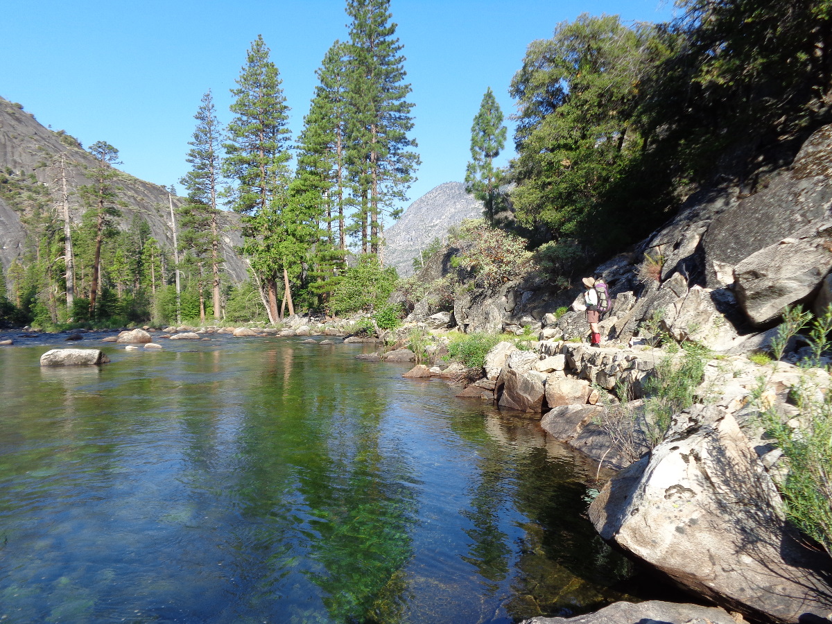
Coffee then oats for breakfast as we get ready for the fun part of the trail. We are at the bottom of the canyon which is wide and open as we soak in it’s charm. The trail will wander all over the place from right next to the water, through the trees in Hobbit Land to sections away from the river to circumvent obstacles.
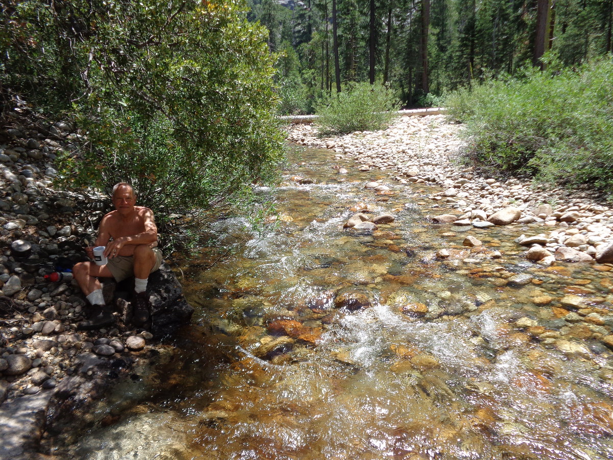
Four miles in it has to detour up & over to get around Muir Gorge and we take a rest at Register Creek. A couple catch up, Mr Iodine, and we exchange methods of purifying water. I used to filter but have been simply boiling water recently. The previous day I realized how dehydrated I was and that we would have to drink more which meant burning more fuel. We drank a lot of water over those 3 days and I must have used up 80% of our fuel – next time I need a better plan. They were traveling light and planned to also hike back to White Wolf, no shuttle for them as they announced to us that “This is what we live for!”.
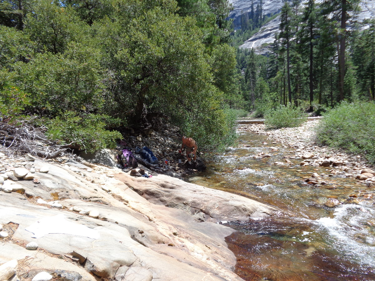
Back down at the river after Muir Gorge we find a nice lunch spot right on the trail with some sloping slabs making for a great bathing spot. Two hikers, going the opposite direction, passed right by us without seeing us – I could almost have stuck out my foot and tripped them up.
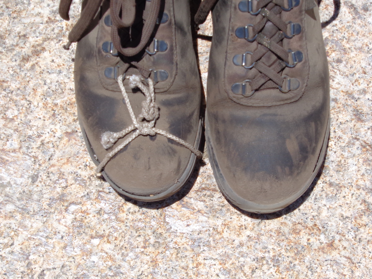
It was here that Rose shows me her right boot whose sole had separated from the uppers. Did some emergency repair and luckily it held until the end but I think it’s the end of the trail for this pair.
We were headed for Return Creek which was another 10 miles on the map which was very deceiving as 3″ on a map can take an awfully long time to traverse by foot and I was continually overestimating how far we had come. Return Creek is just below Waterwheel Falls and on our way in we come across an older guy, I guess that means my age!, about to put his pack back on. In the initial 10 seconds I surmise he should be tagged Altacocker. “Trying to catch up with his two buddies”, he announces as we make sure we stay in front of him.
A way further just before the Creek itself we find the 3 women from Two Green Tents and ask them how they got here so fast? They were going the reverse direction and from the first night at White Wolf had taken the shuttle to Tuolumne Meadows before starting their hike down the river. We wished them luck especially for the steep climb out back up to White Wolf they had coming to them.

Not many sites at Return Creek and then I find one right on the river, illegal by Park Ranger standards but it was established and we grabbed it. Lo & behold some time later a familiar face appears to announce we had a neighbor. Blue Shirt has risen. “Where’s your buddy?” “Oh, he decided to turn back and climb back out to White Wolf”. Man I hope he makes it. He was obviously unfit, overweight, and didn’t know what he had let himself in for. Blue Shirt needed company and repeatably invited us to share his fire with him. As the afternoon wore thin we watched the hikers come & go wondering who would be keeping him company tonight. Hey, that must be the two Young Lads as Green Shirt came into view and sure enough they came down through our site to collect water. He was from Seattle and his buddy from Brentwood, they’d met up at Oakland Airport and driven up together from there. Oh well at least Blue Shirt would not be bugging us any more.
Saturday
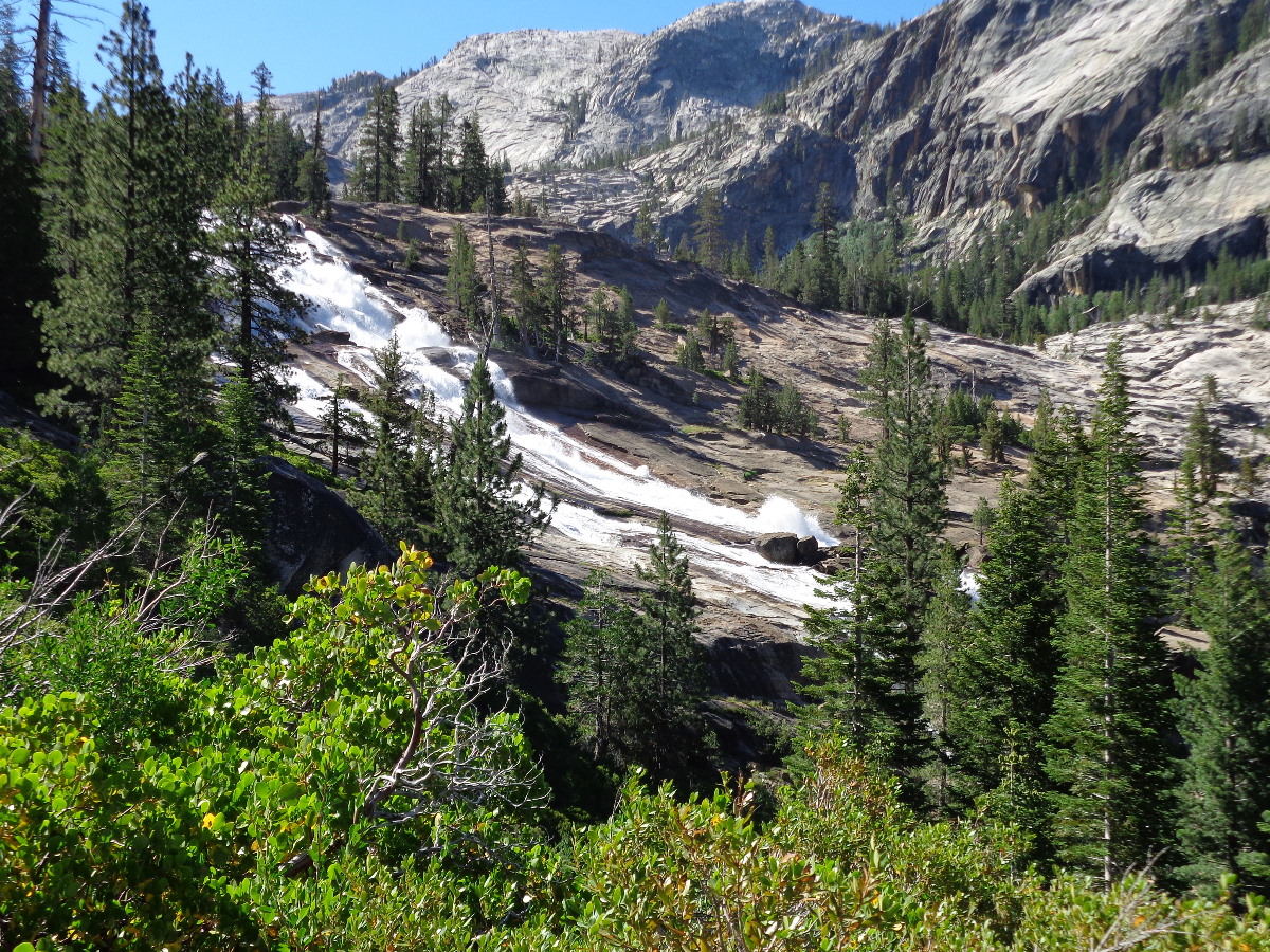
A lot of people would hike late into the day and then just sleep wherever they could find a flat spot. We suspected that our 4’th July Group came though but weren’t sure. We got going a bit later than usual and had a very nice climb up to Waterwheels Falls. At the top we rested and there was Alacocker filtering water – they had climbed up at the end of the day when they were tired and now would be making a late start. Oh well we all have our own rhythm.

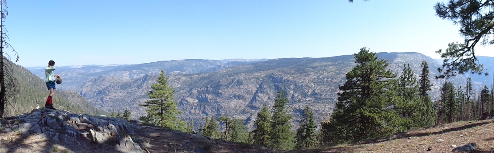
From Waterwheel up to Glen Aulin the canyon narrows and gains altitude resulting in much water tumbling over the classic Sierra granite slabs. We start to see day hikers coming down from the High Sierra Camp at Glen Aulin and what was once ones own personal gorge now becomes more touristy as access is simplified by the catered standing camp above.
Never the less there are plenty of opportunities to get off the trail and simply sit in the surrounds of tumbling water and magnificent rock around one.

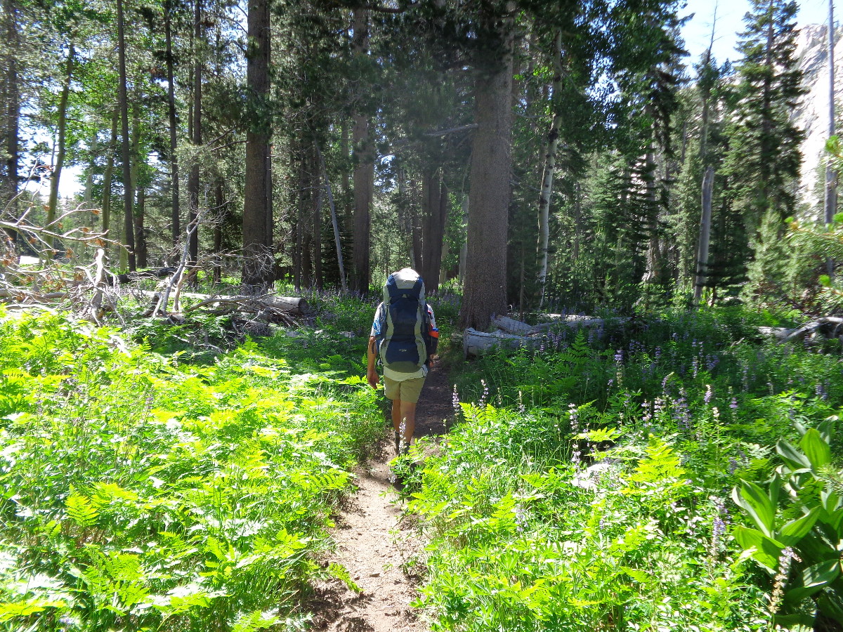
Eventually one gets past the concentration of falls and into the meadows where the lupines flourish in the moist undergrowth.

At the Glen Aulin bridge we see a group joining the trail from what looks like their overnight stop. Sure enough, it’s the 4’th July’ers and they look more motley than before. I ask one of the leader looking types what happened to their aggressive Pleasant Valley agenda and all I got back was: “This is plan B”. Never found out what brought them together but we got off the trail for a lunch stop and to let them get out of our way. Later, as we hiked out the last 6 miles we passed their small splinter groups looking rather weary and worse for wear as their group strung out and separated for the finale.
Green Shirt and his Brentwood buddy on the other hand were cooking a leisurely lunch in the shade by the river and although tired had a much more mellow attitude of we’re here to enjoy it.
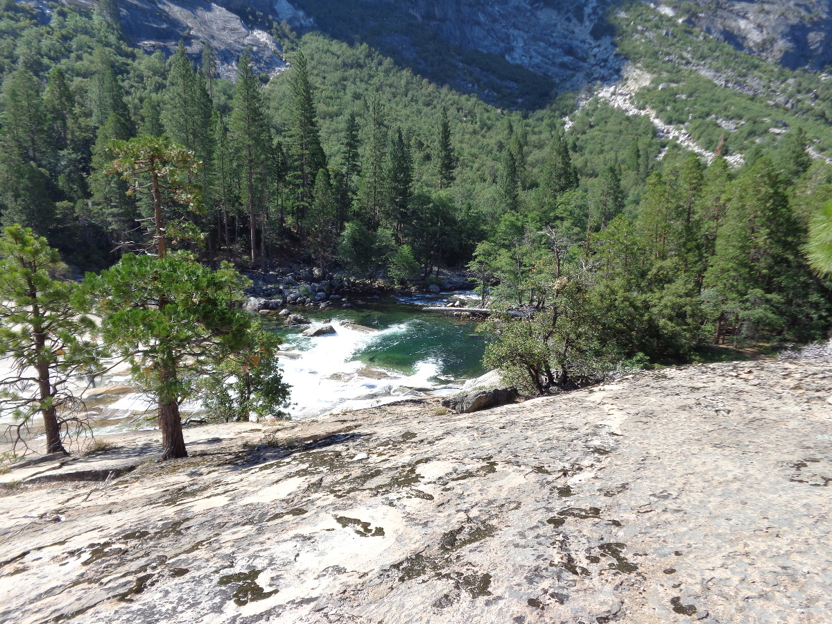
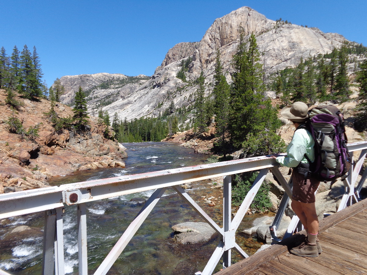
I do tend to get into a “hike out” mode as the end nears and we eventually found our little red Prius dusty but otherwise OK. Should have taken a photo of it but maybe this view of the River and Cathedral Peaks will better remind me of what a thoroughly enjoyable hike we had.
