I had planned this trip months ago. Just wanted to get out of LA and ride my bike around the Lake Tahoe trails that I love sometime in late August. But the seasonal wildfires had their own agenda and Tahoe was boxed in by the massive Dixie fire to the north and the newer Caldor fire to the south. I was not going to cancel so we left the house keys for the house/cat sitter and headed out late on a Monday afternoon.
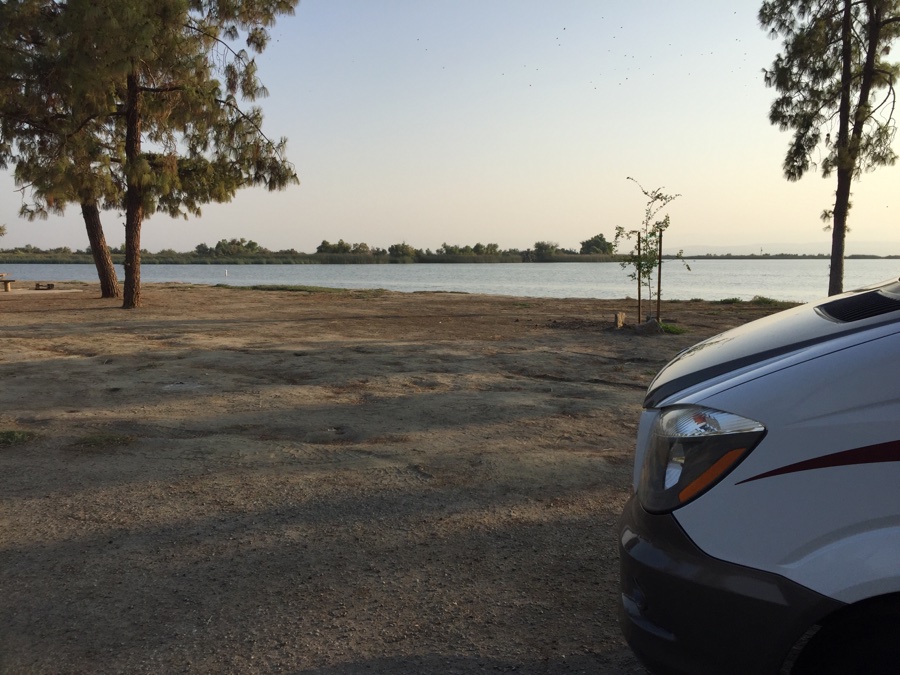
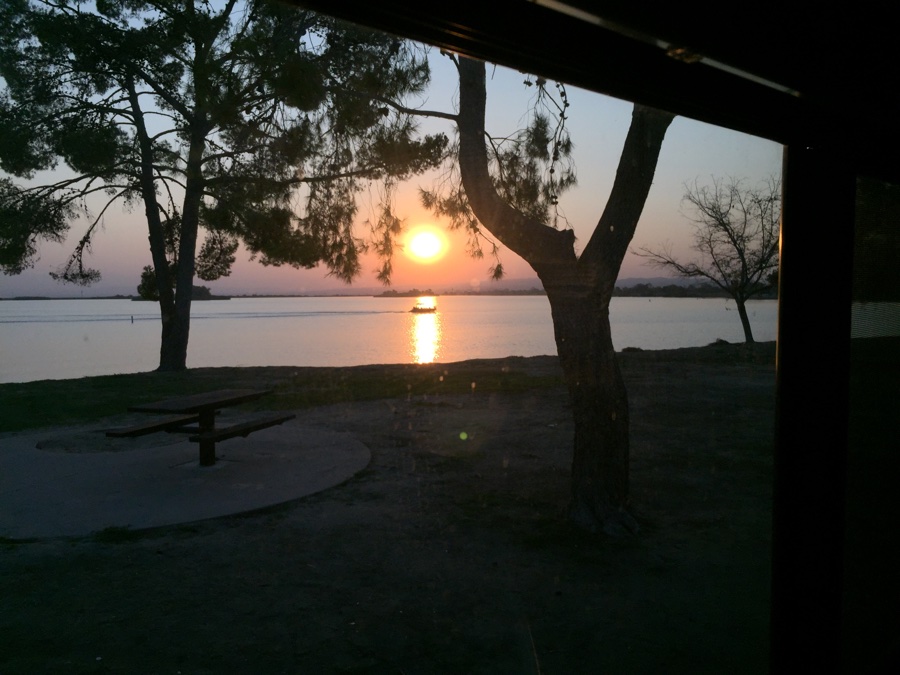
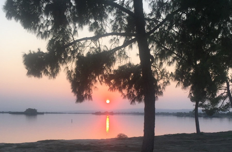
North on Hwy 5 is not the most pleasant of drives but we wanted to put the metropolis behind us and break free of it’s hold. Was planning on staying near Pyramid Lake but the campground suddenly closed for a few days. Found another one off the 5 just after the 5/99 split – Buena Vista Recreational Area, lets take a look.
Place was empty and hot but we could look out over the water and run our AC from the full hookups provided. Just what we needed to chill out and plan our days ahead.
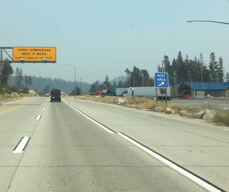
Got back on the road Wednesday morning and barreled up 5 past Sacramento and up the grade to north Lake Tahoe and down into Truckee. The cashier in Safeway said the smoke had been much worse and we thought that even this was too much.
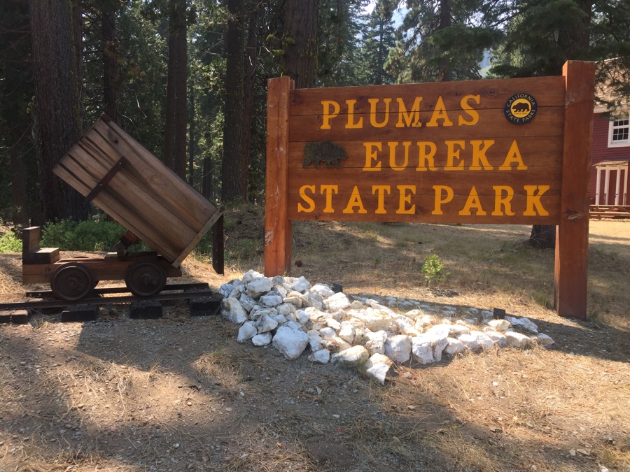
We had reservations at a small state park, Plumas, a bit further north near Graeagle, but not for tonight and we hoped they had space for us. It’s close to 5pm as we pass the mining museum where one’s meant to check in. Sign says “open” but all the doors are locked and no one is around. Drive a mile up the narrow road to the campground proper and the camp host comes out to greet us. We ask if he has a spot for us and he laughs – almost everyone has cancelled because of the fires and the campground is empty. Our site for the next night is open and we settle in to the peace & quiet.

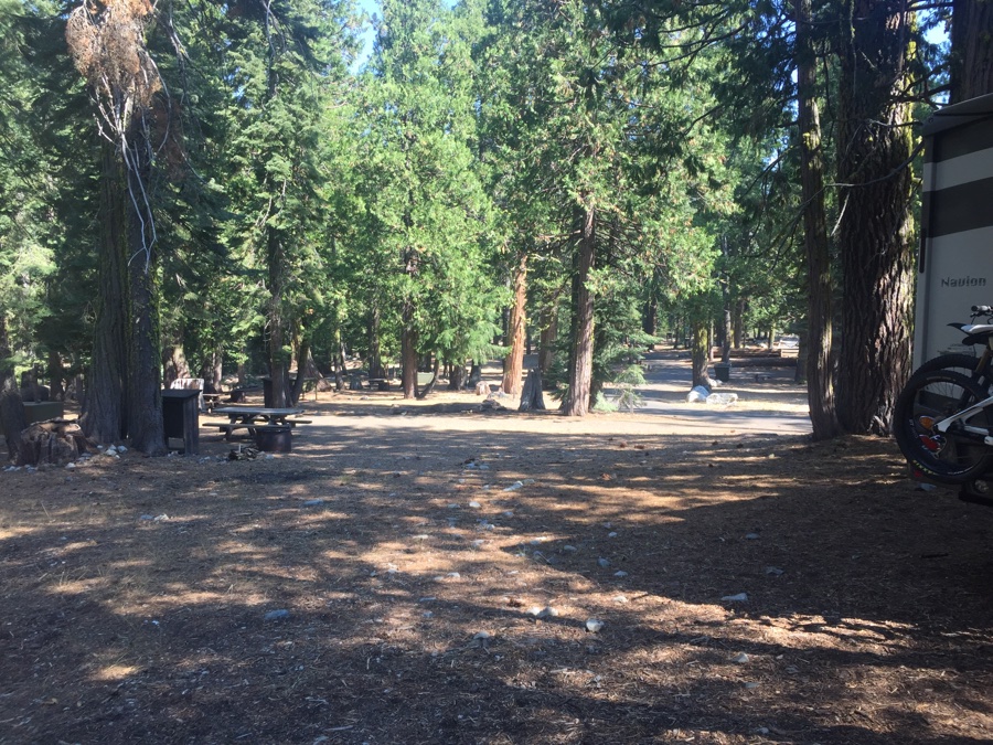
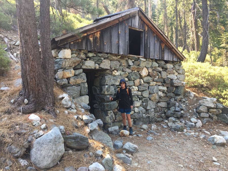
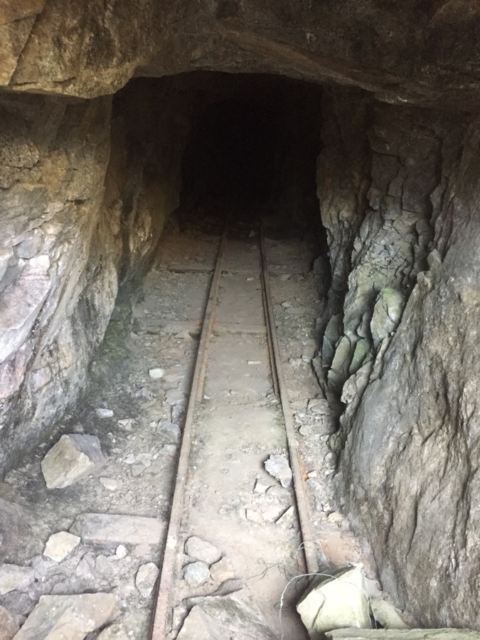
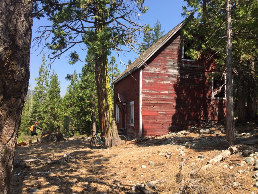
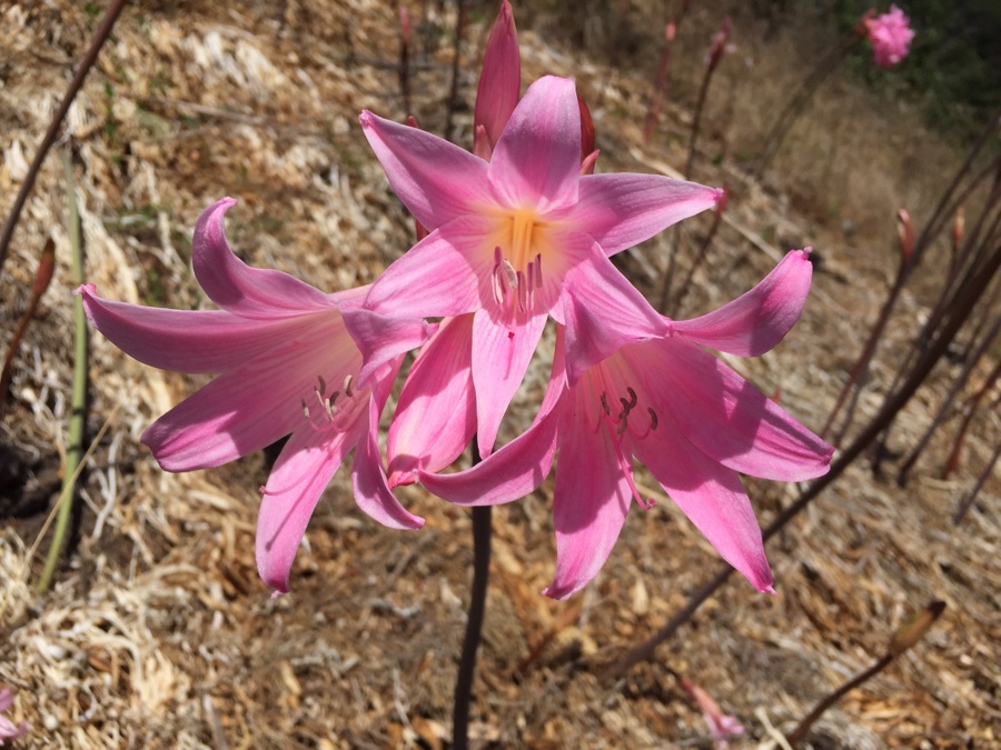
I think the main reason the campground is so empty is that all the surrounding National Forest area is closed, you can’t, or shouldn’t even sneak in for a hike. But the State Park is open and there is enough space here to occupy us for a few days. You can hardly see or smell any of the smoke and we head out on a short hike to view some old mining activities.
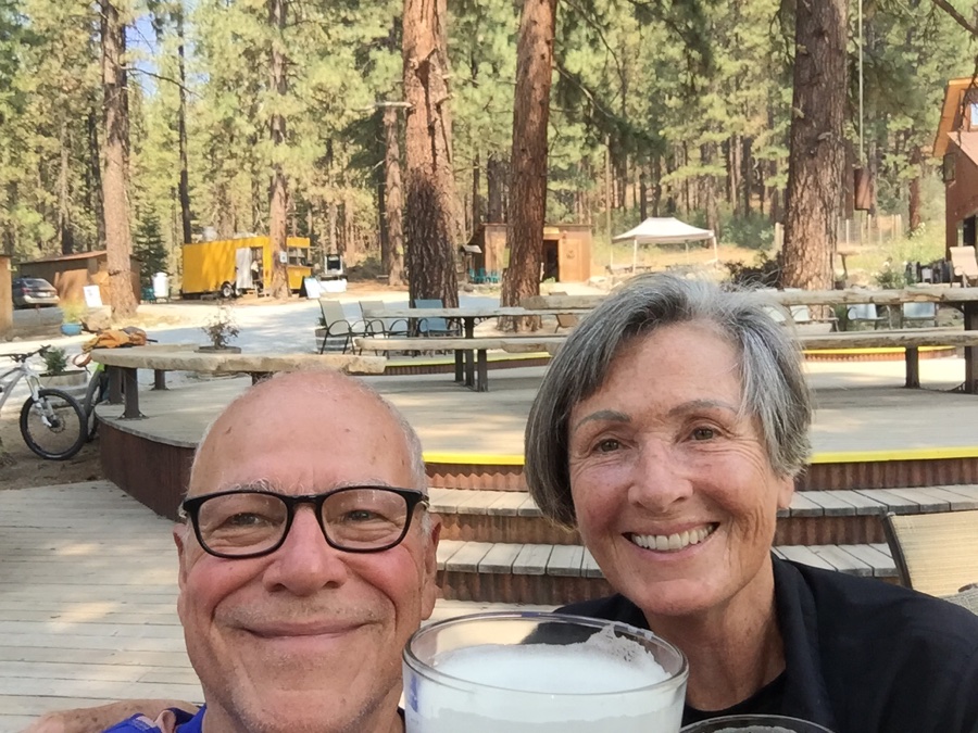
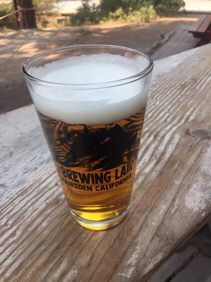
Next day we take our mountain bikes down into Graeagle for some cell service and to check out the local brewery. The only problem with this plan is that the brewery is 7 miles away and it’s downhill all the way, all 1000′ of it. That means riding back up 1000′ with the addition of a few beers inside me, would have really preferred it the other way around.
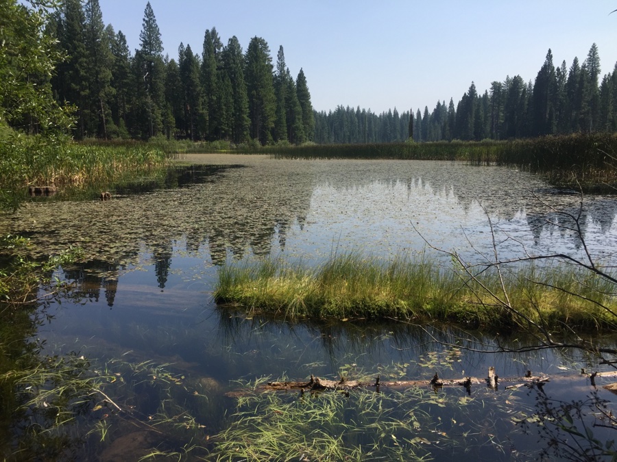
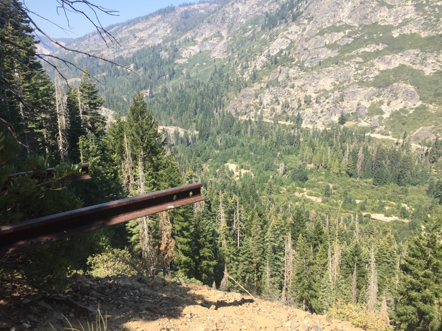
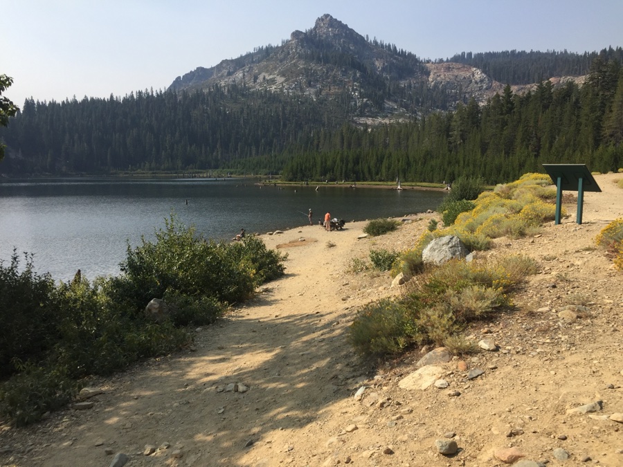
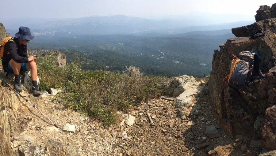
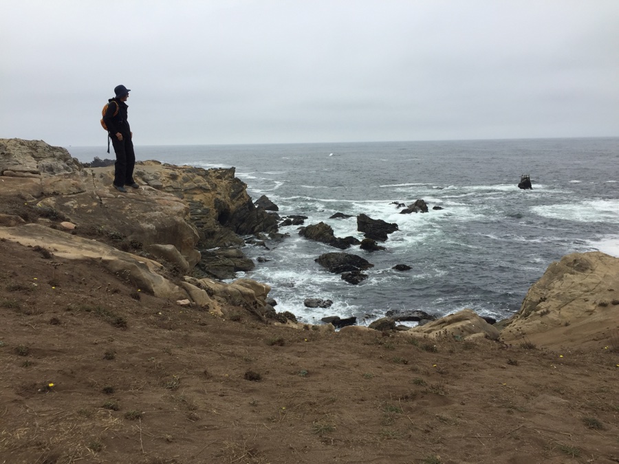
Last day we head off up Eureka Peak. It’s a mixed bike & hide endeavor. First 3 miles on the bikes till the road becomes too steep and we stash the bikes and continue on foot. First past Eureka Lake and then up the circular trail that takes us past two peaks 1500′ above the lake.
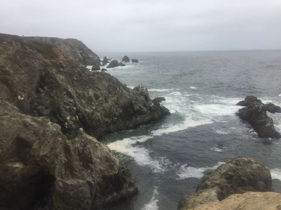
Our original plan was to move down to Donner Sate Park near Truckee and do some riding around the trails I love but the park got closed and they cancelled our reservation. Plan B was to run for the coast and get away from the fires, somewhere around Bodega Bay.
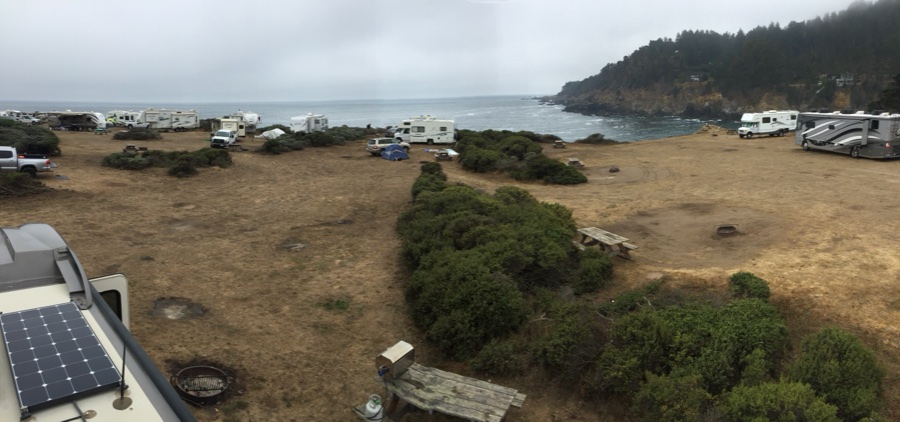
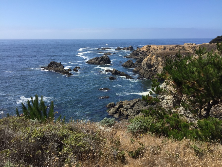
I got two nights at Bodega Dunes but that still left us with two nights to fill before that. 30 miles to the north along the winding Hwy 1 is Ocean Cove Campground, no reservations taken. It’s a Sunday night so we head on up and see what’s there. “Pay at the store” says the sign and they take my $60 for the two nights. “What designates a campsite” I ask. “A table and a fire ring”. No facilities besides some water and porta potties.
I had nicknamed this place the wild west campground because you pretty much had to look out for yourself and be a bit forceful about it. All the prime sites along the bluffs were taken and anyway they seemed very crowded and on top of each other. We picked a spot a bit back that still had a view and some space around it. Settled in and sat back to watch the activities.
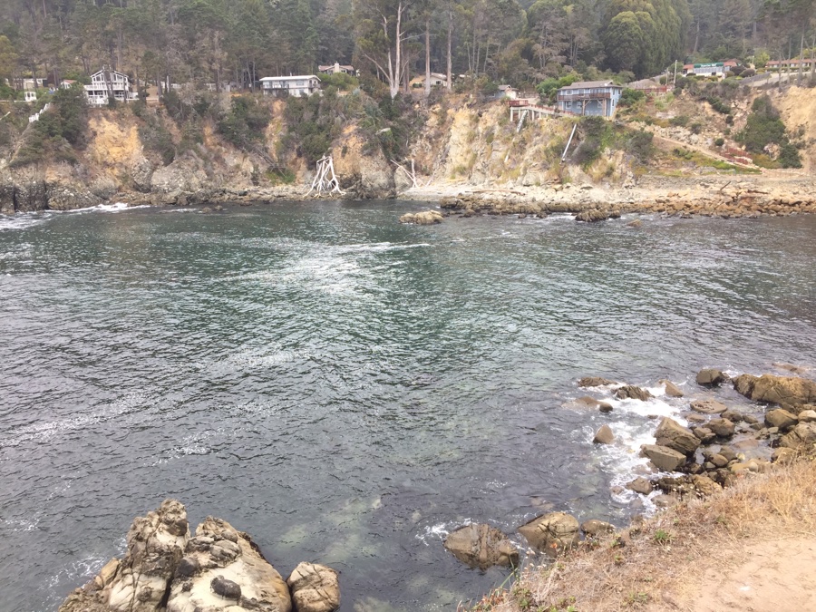
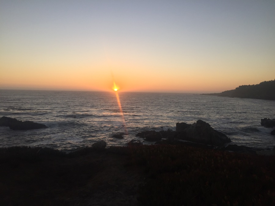
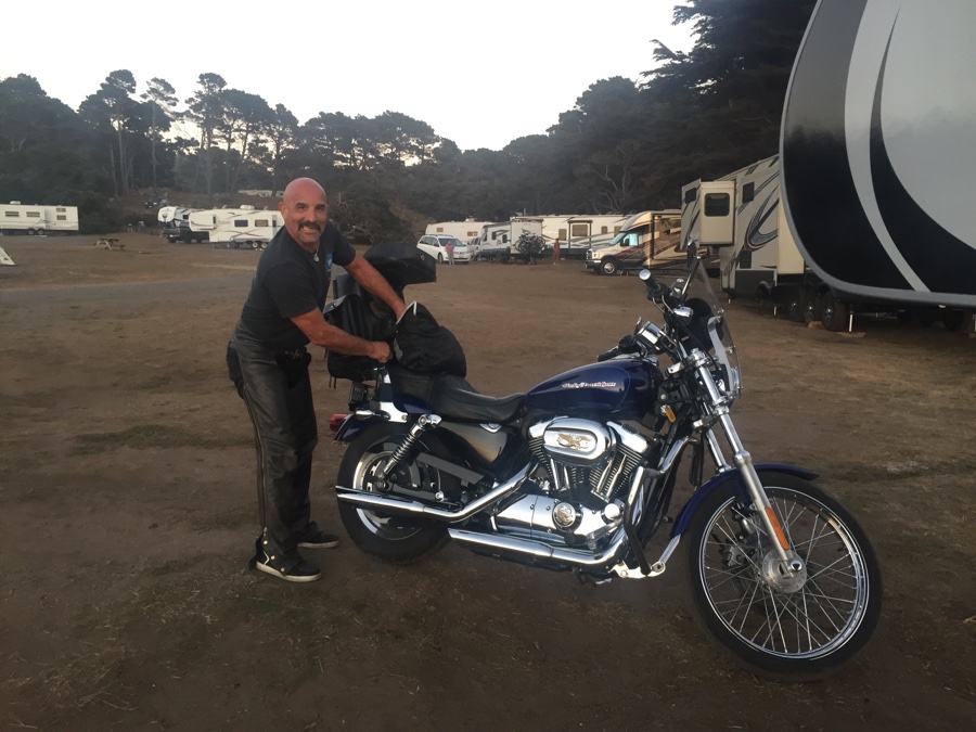
We walk along the cliffs watching the sun set and sit by what looks like an unoccupied trailer. Some people come in early, claim a spot, and then return a few days later for the long weekend ahead. Anyway, we’re sitting there and hear a bike pull up as if he owns the spot. Turns out it is his trailer which he is very friendly about.
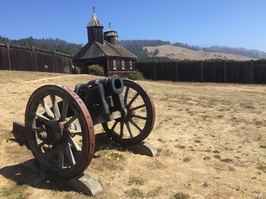
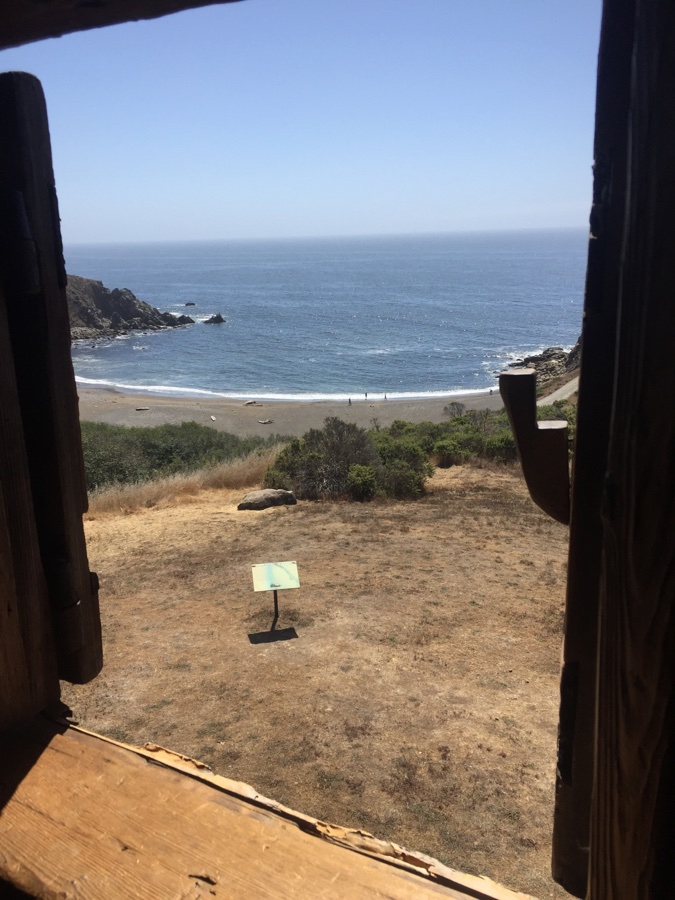
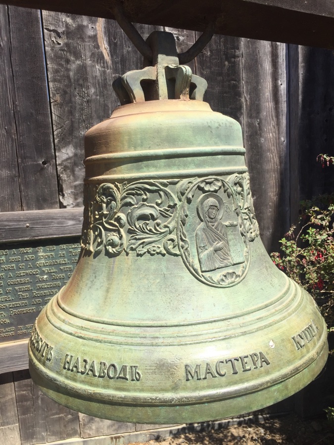
Pack up and make a history stop at Fort Ross a little way down the road. Yes the Russians were here in the early 1800’s to grow supplies for their northern settlements.
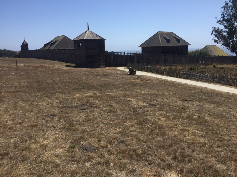
According to William Bright, “Ross” is a poetic name for a Russian in the Russian language and hence the name Fort Ross.
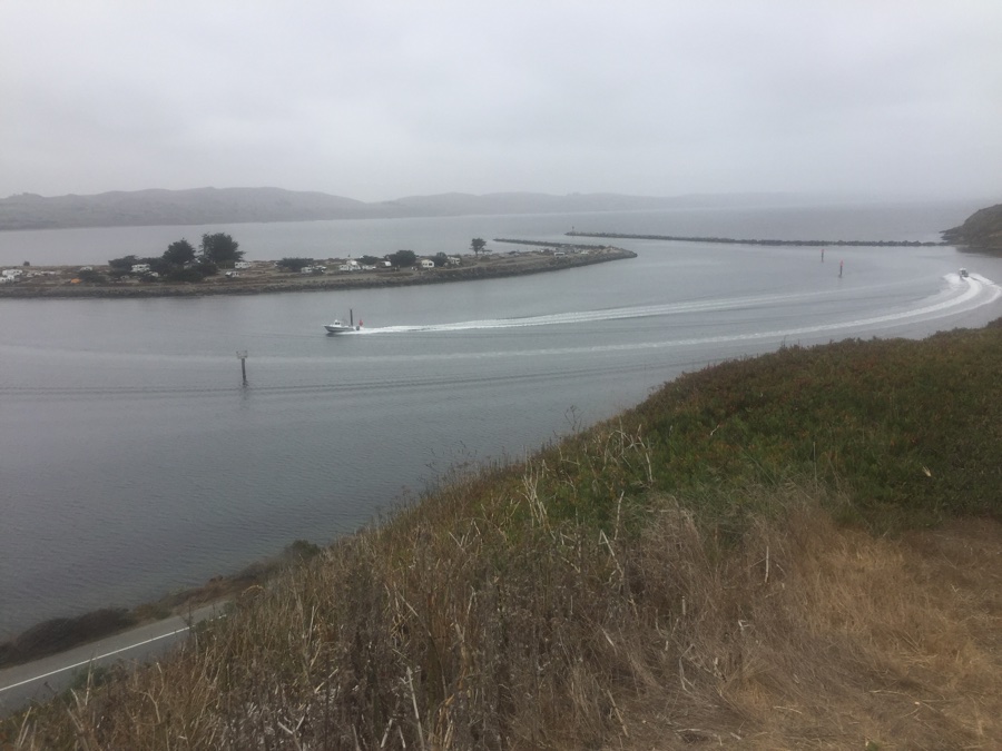
After our little history detour we continued on down to Bodega bay and the Bodega Dunes Campground. Did not get a photo of our site but it was “compact” and plenty of foliage to shield us from the neighbors. Next morning was overcast & chilly as we rode our bikes down to the spur that provides the sheltered entrance to the shallow bay.
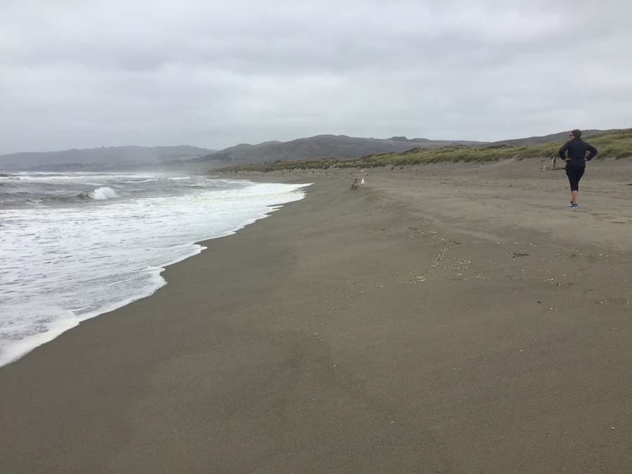
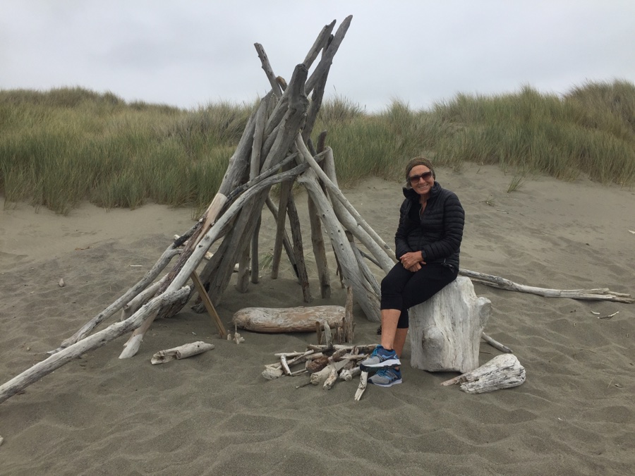
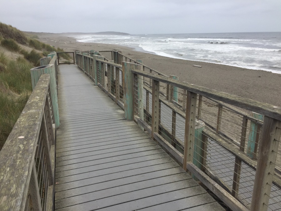
Second day we did a walk over the dunes to the desolate beaches.
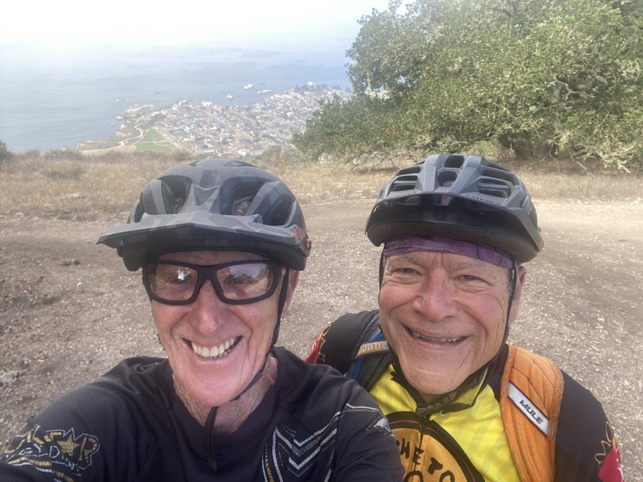
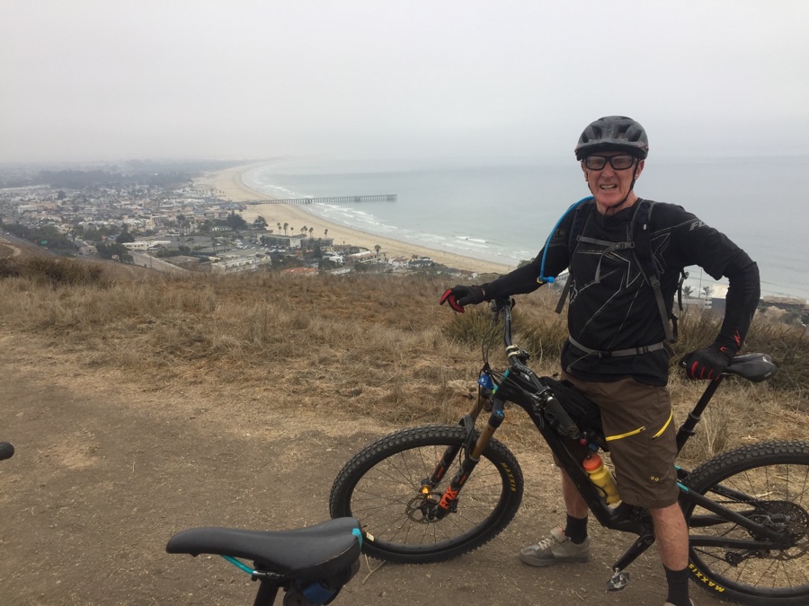
One final stop on the way home where I get to ride Pismo Preserve with Gordon.
Going to Kauai for most of November so the RV will go into storage till the New Year.