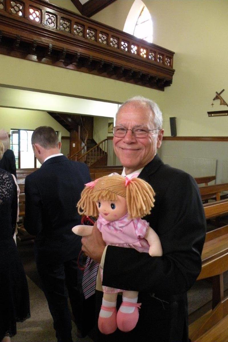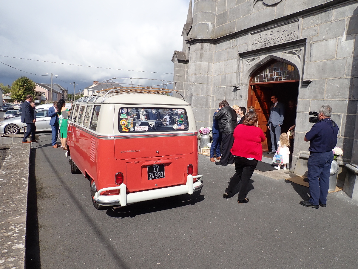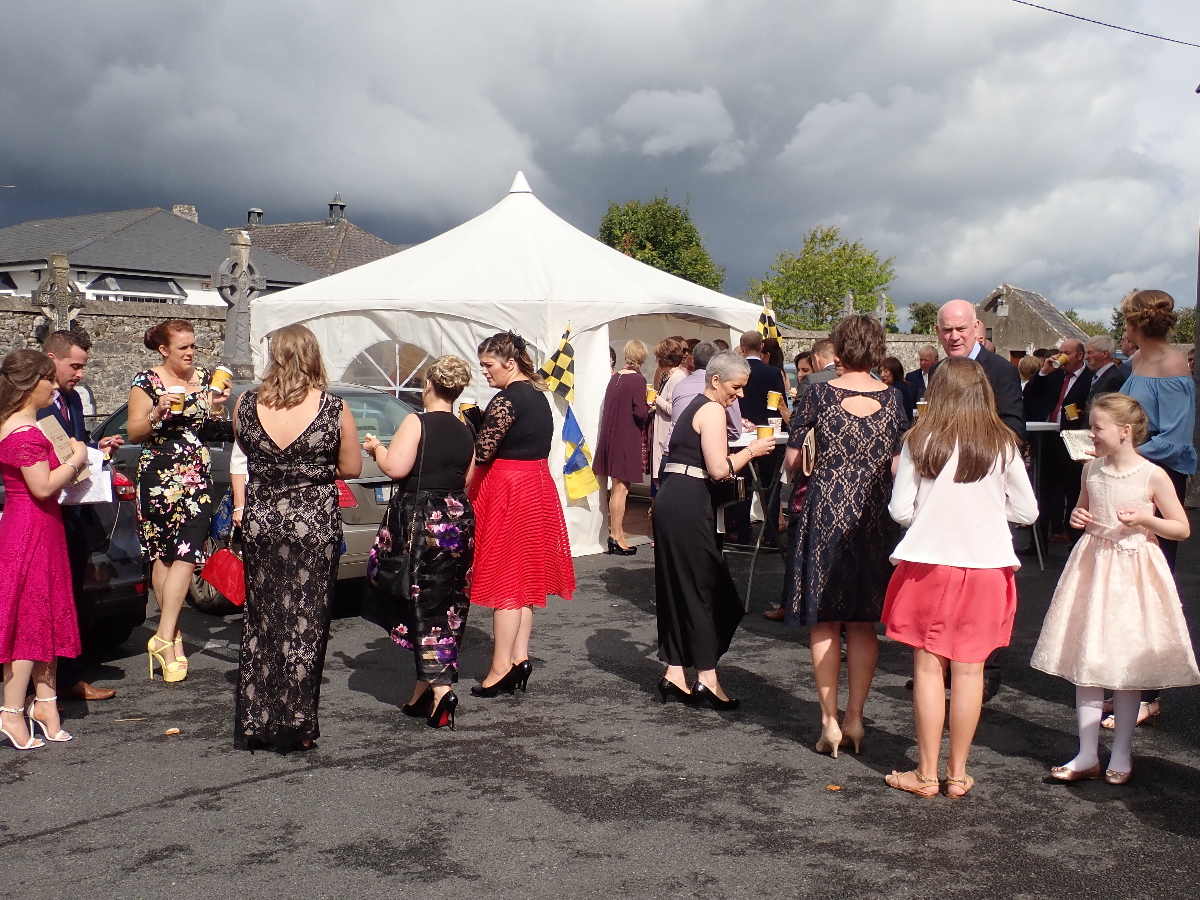
We were invited to Michael (Rose’s nephew) and Rachael’s wedding to be held in Aherlow, County Tipperary, and always a good reason to visit the Emerald Isle. I went to my usual set of internet tools to see what lay around the hotel. The Galtees, with Galtymore topping out at 3,009′ are Ireland’s highest inland mountain range and I found a nice circular route that took in Galtymore, Galtyberg and Cush a nice bit of exercise before the celebrations.
Nearer the time I started watching the weather reports and about 9 out of 10 days would always show “a chance of showers” which was not what I was hoping for.
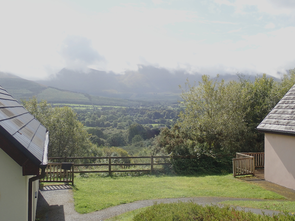
On arrival I gazed out longingly across the lush green valley to the clouded peaks and came to the realization I had better not become a tourist statistic getting lost in the clouds the day before the wedding.
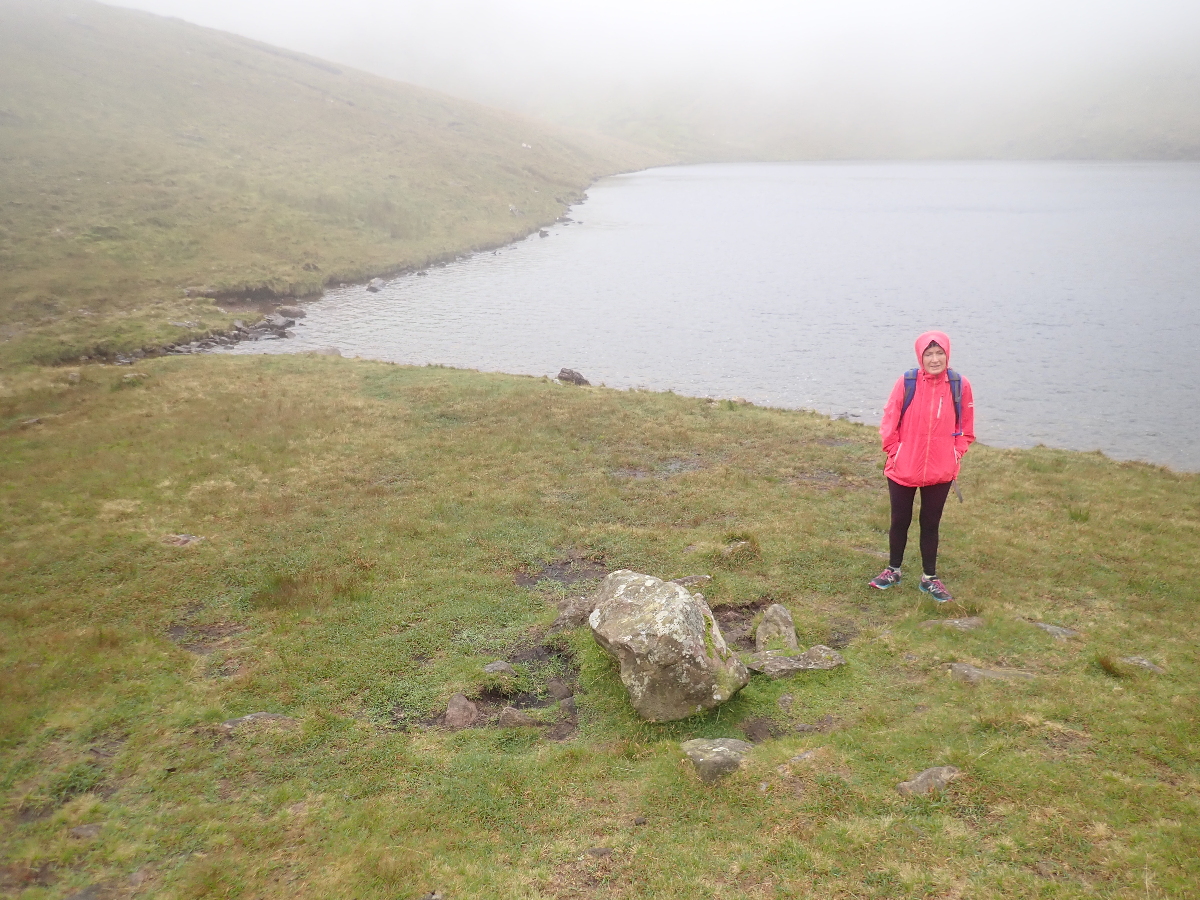
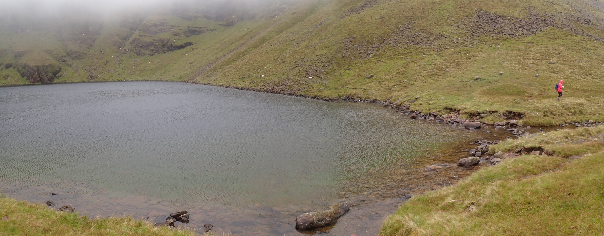
Below the clouds at 574 meters lies Lough Curra, the highest in the Galtees, and so we were off before it could get totally socked in.
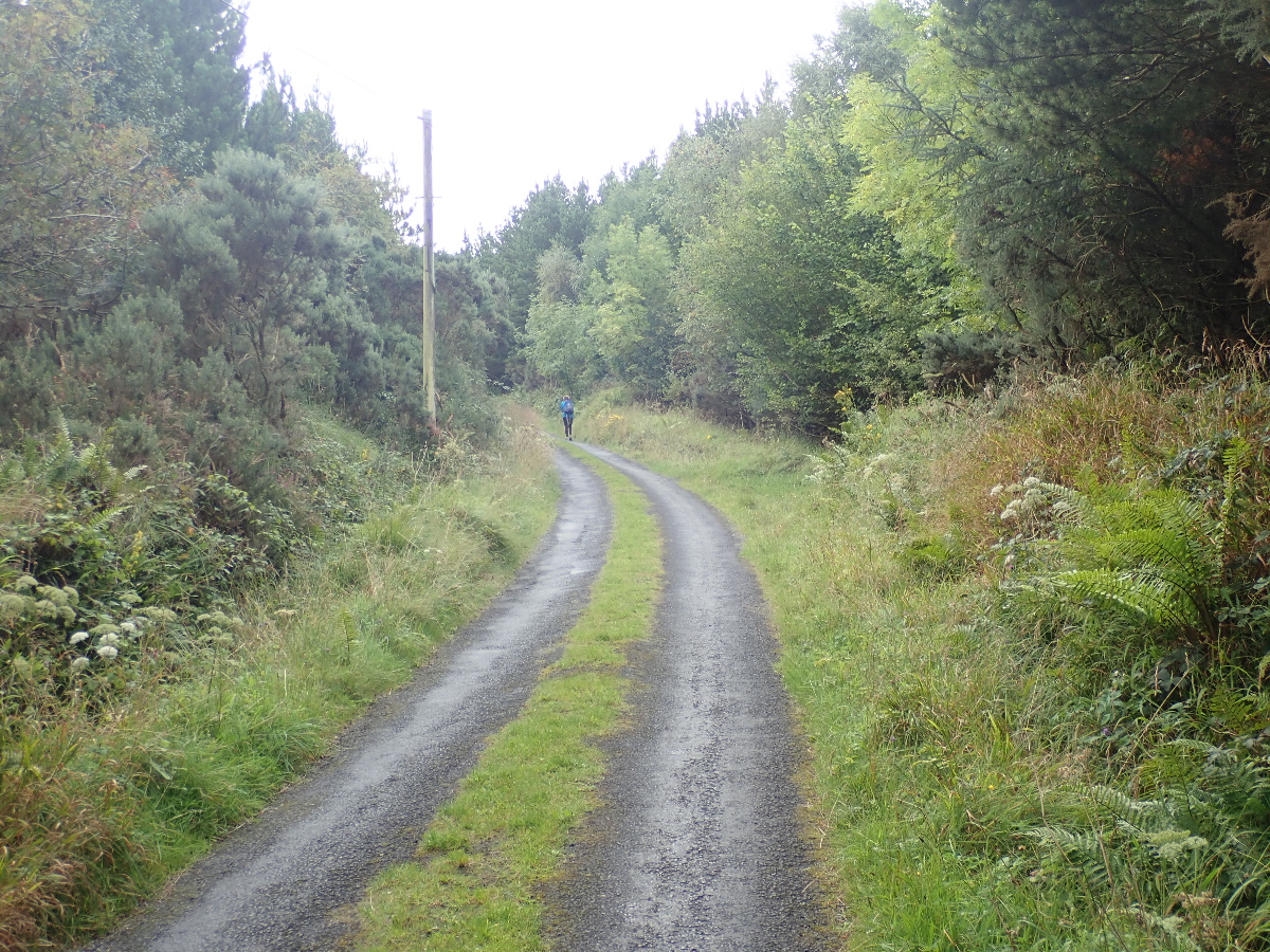
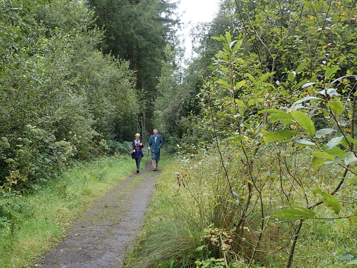
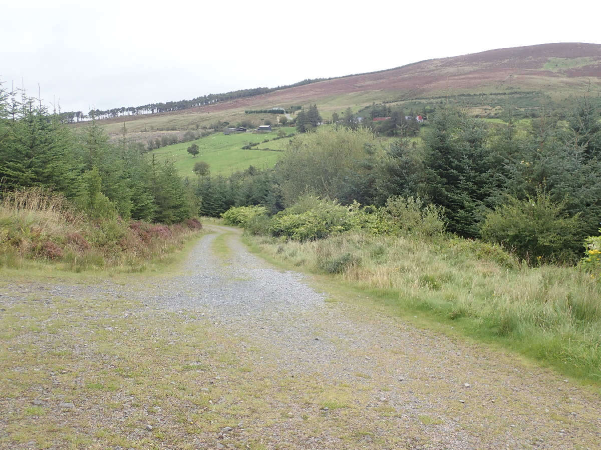
We find the deserted car park, do the locals know something or are we just crazy?, and Rose impatiently heads out while I faff with my GPS. I follow, then pause to consult my trusty toy and shout out: “We’re going the wrong way”. Back to the car and, if I’d read the signs, take the correct gravel road to the right.
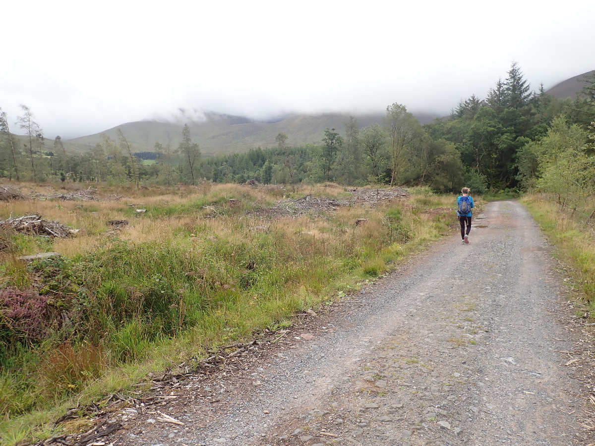
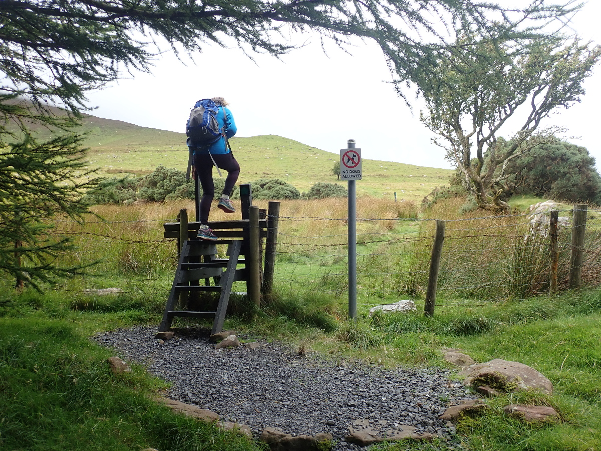

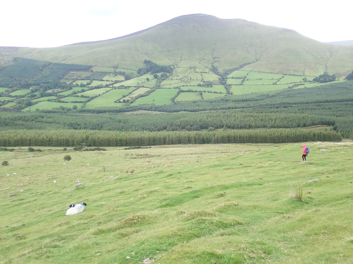
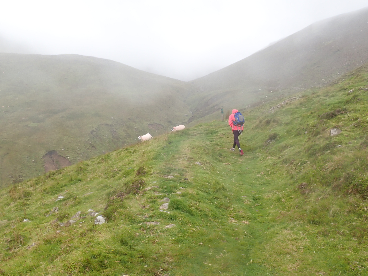
Our car is somewhere down there in the trees and our route had been on road or trail through the forest. After the stile we were on goat trails that crisscrossed all over the place but we headed up the slope looking for the above reassuring posts and wondering what happens at the end of them.
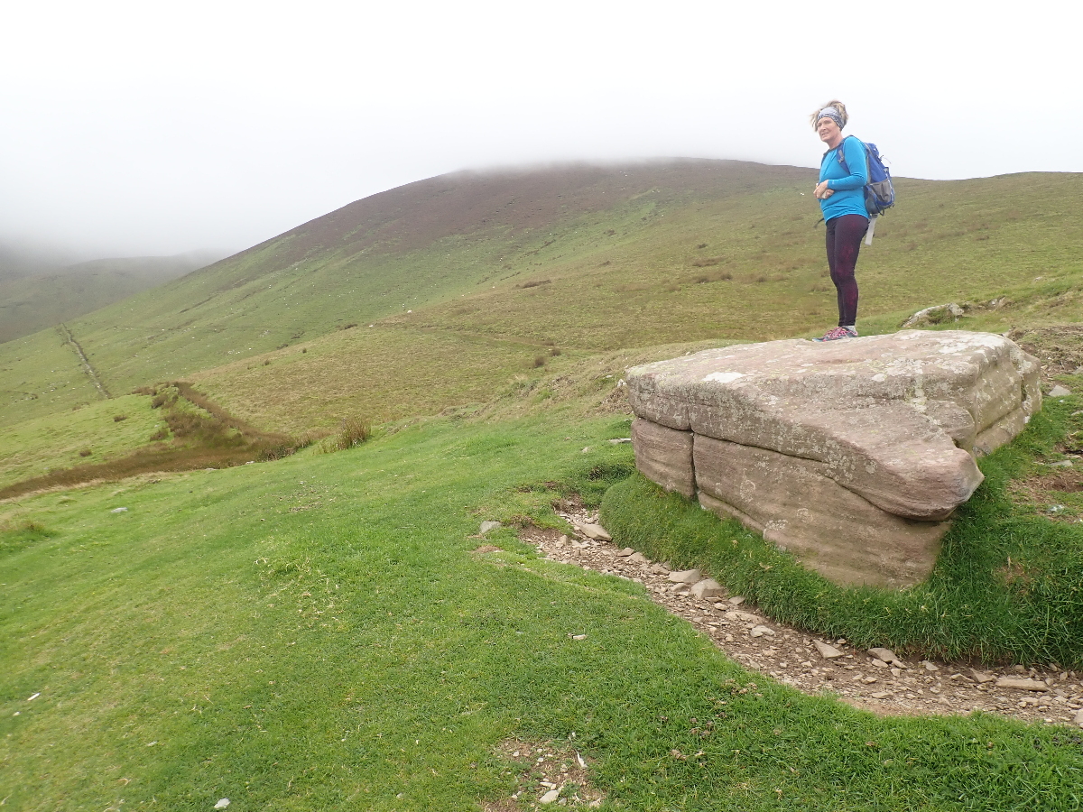
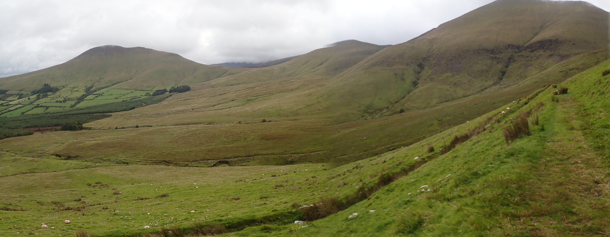
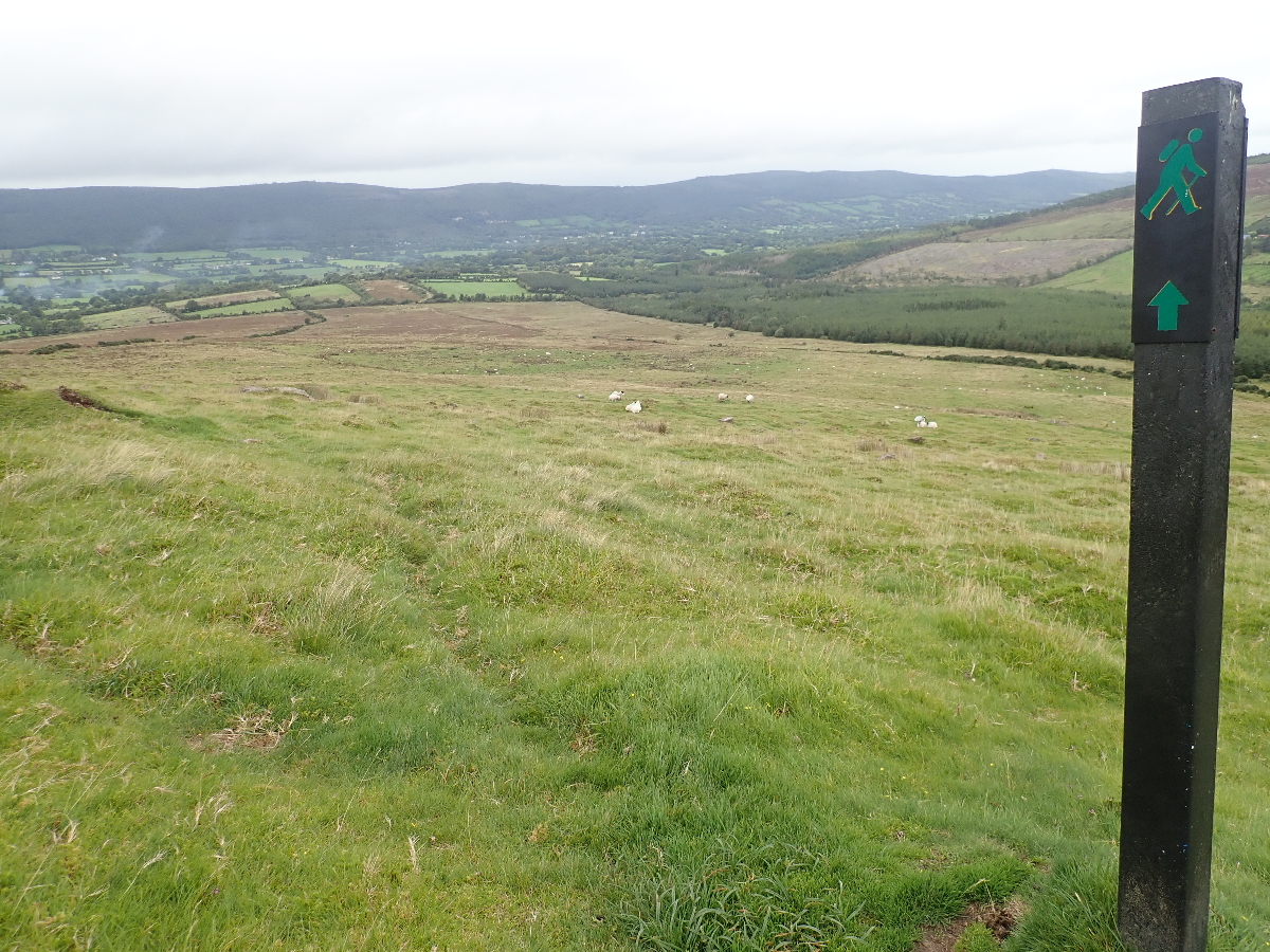
The way up to Galtymore is to continue upwards behind where Rose is standing. I had already decided to avoid the clouds and so we veered left along the upper converging cut line.
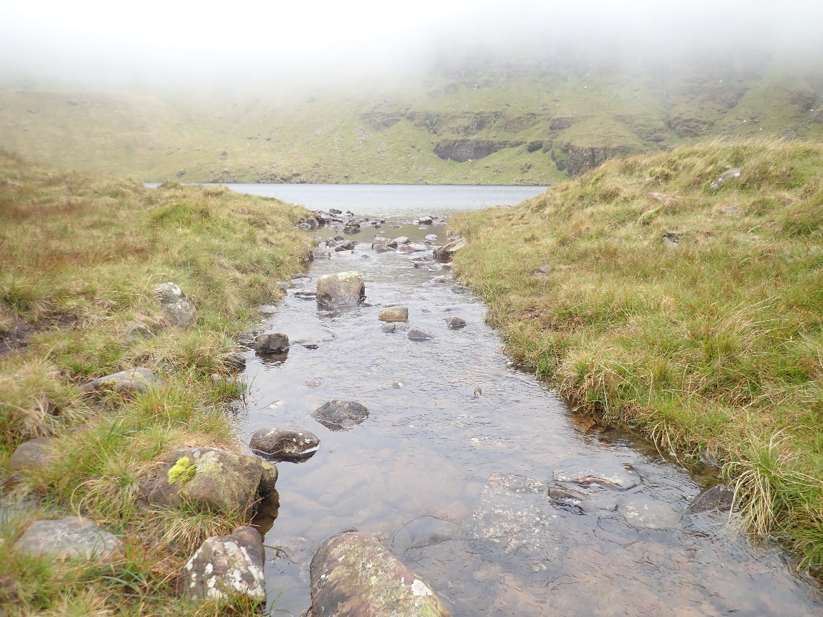
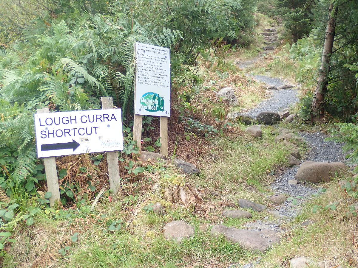
The “trail” we are following is known as “the old ice road” which had been used to transport ice down from the lake to be used for refrigeration in the houses below.