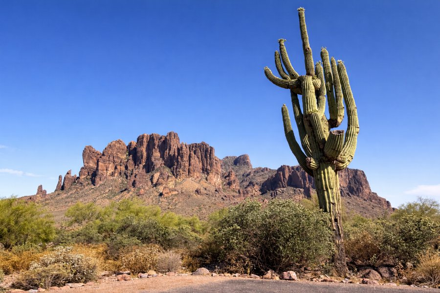
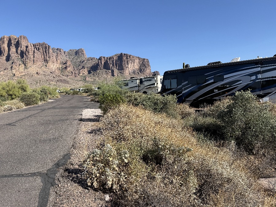
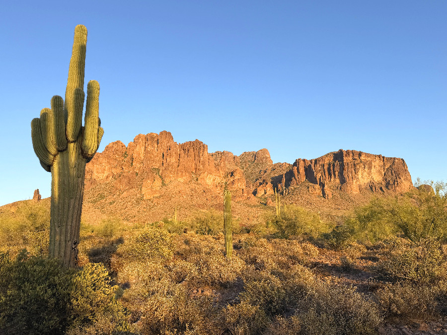
In November or 2015 we purchased our RV from Malcolm who lived in Hot Springs Arkansas. On our homeward journey we happened to stay at Lost Dutchman State Park just east of Phoenix. Behind the park are these commanding mountains named Superstition Mountains and we hiked up Siphon Draw till the trail ended and the rock scrambling began. It was November, wet & cold so we called it a day and retreated. Once again we tried to summit but it was winter and snow abounded – too risky for me.
It’s now April 2026 and once again we set off for Lost Dutchman and to test the “third time lucky” theory.
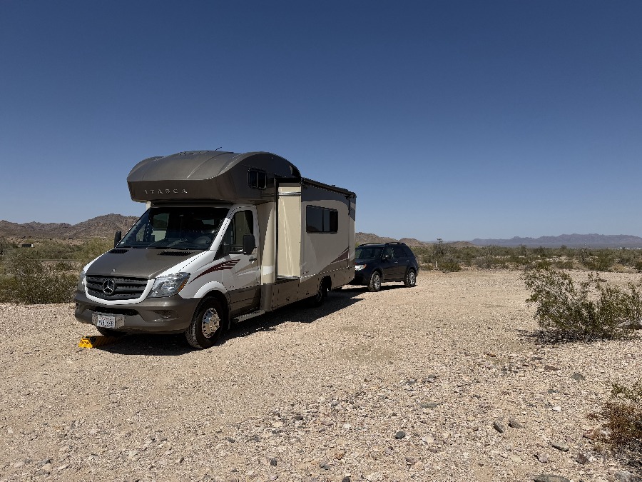
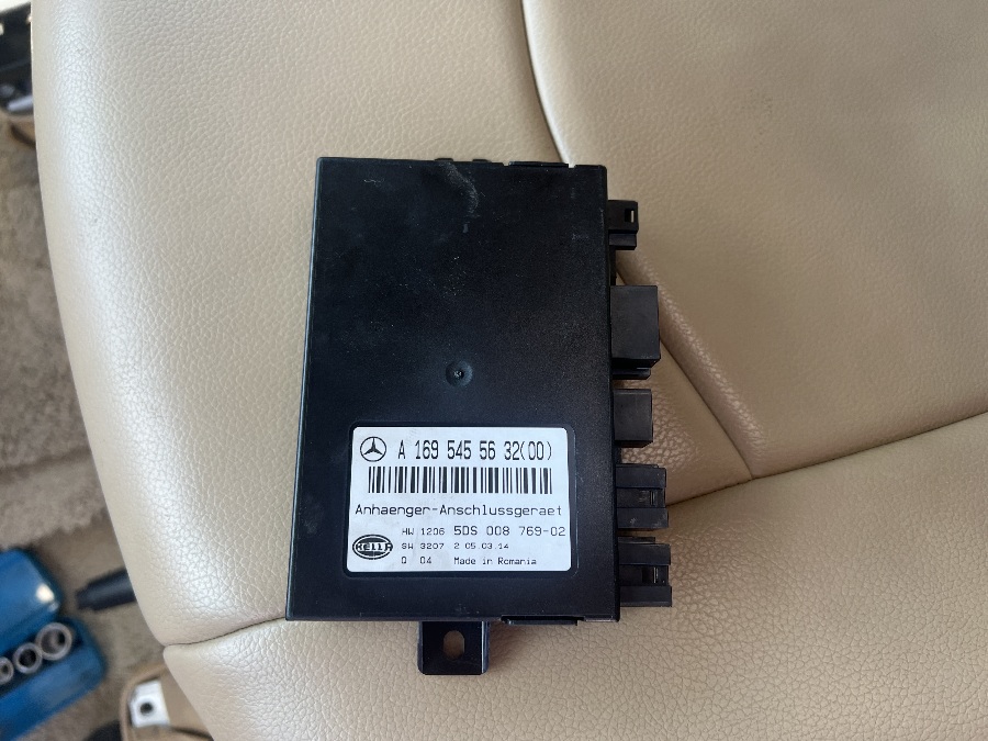
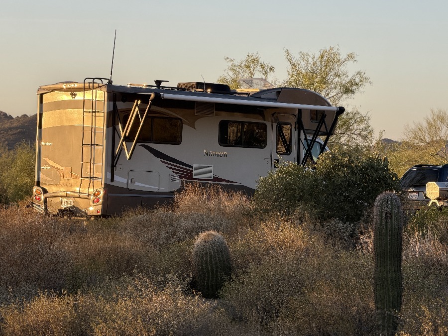
I will digress here to talk about the suspected innocuous module above. You will see we are towing our little Subaru and testing out my theory. Back in 2018 on our way back from Yellowstone the Mercedes Sprinter dashboard quietly displayed the message “ESP Warning – Go to dealer”. What had happened was that the brake light switch under the brake pedal had failed and the computer could not tell when the brakes were being applied and it gets really upset. For 7 years we tried to resolve the problem with Mercedes Benz replacing the switch and telling us “Everything checks out – keep driving” only for it to fail again at some random time in the future. A trailer repair guy near us bypassed the above module when the electrical voltages on the 7-pin trailer plug went bad but the problem persisted, randomly. Then we stopped towing and it was quiet but last year the switch failed without towing. Now what?
One day while staring an electrical diagram for the umpteenth time I said why not and got help finding the module (underneath the passenger seat) and fully disconnected it. Now we have another warning light (because the computer is upset one of its organs has disappeared) but everything else works OK.
So we’re back to towing and with every mile my confidence grows and we’re back in business.
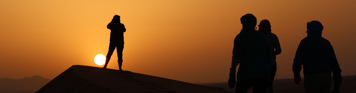
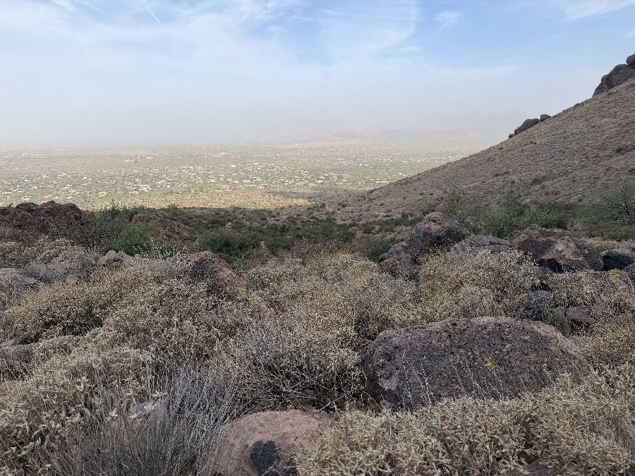
We set off soon after 7 am which we think is early but soon meet people already coming down. The wind is blowing which makes for dusty views and we fear the wind will be worse on top.
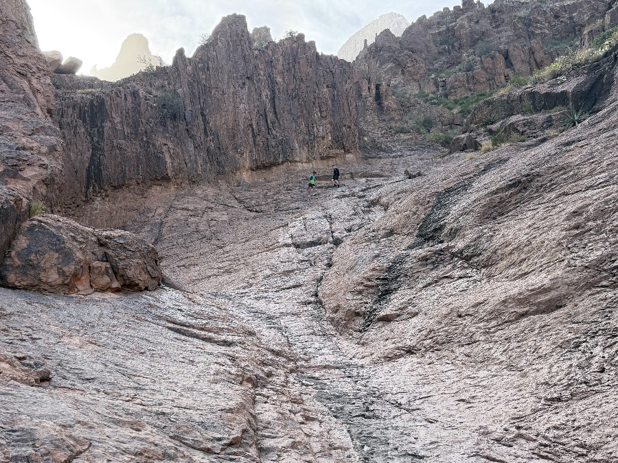
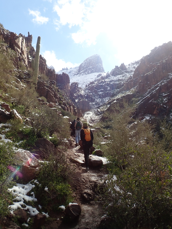
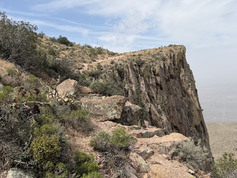
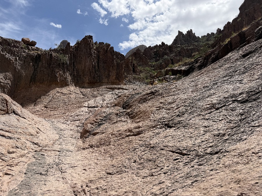
After transitioning from trail to scramble I stop taking photos as all I see are bushes and rocks to go around or over. It feels like eternity but after 50 odd minutes of steeper and steeper navigation we break free onto a shelf that leads us over to the main viewing point.
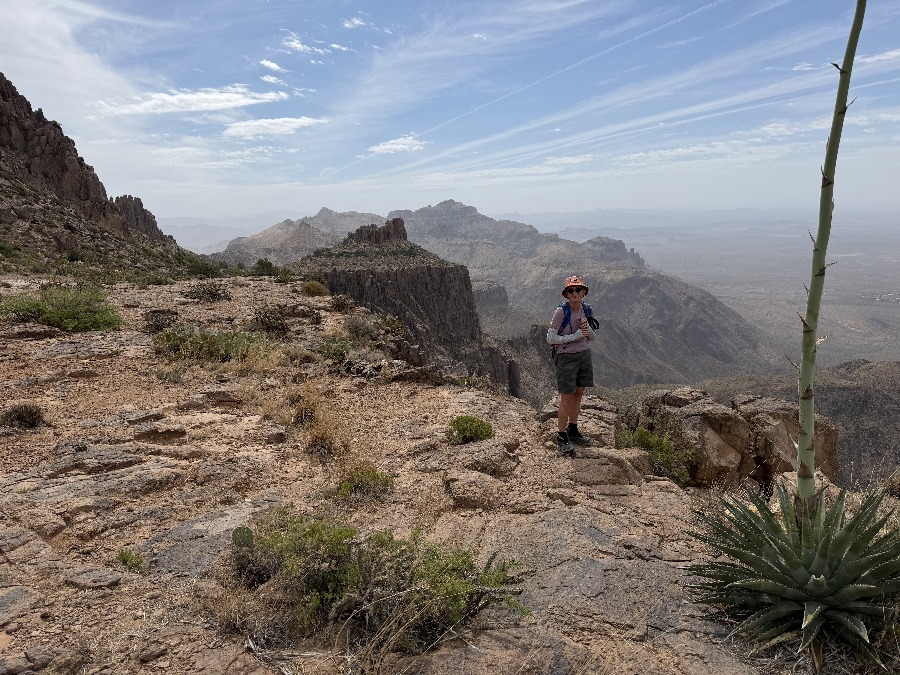
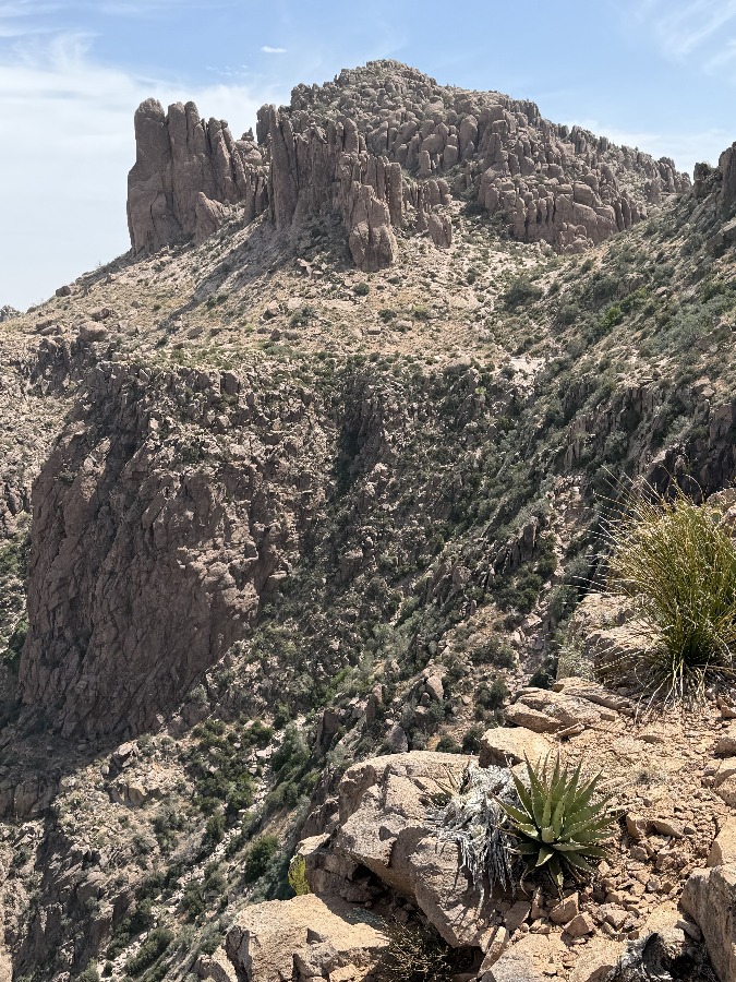
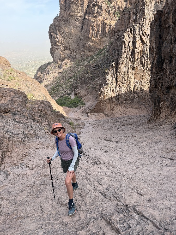
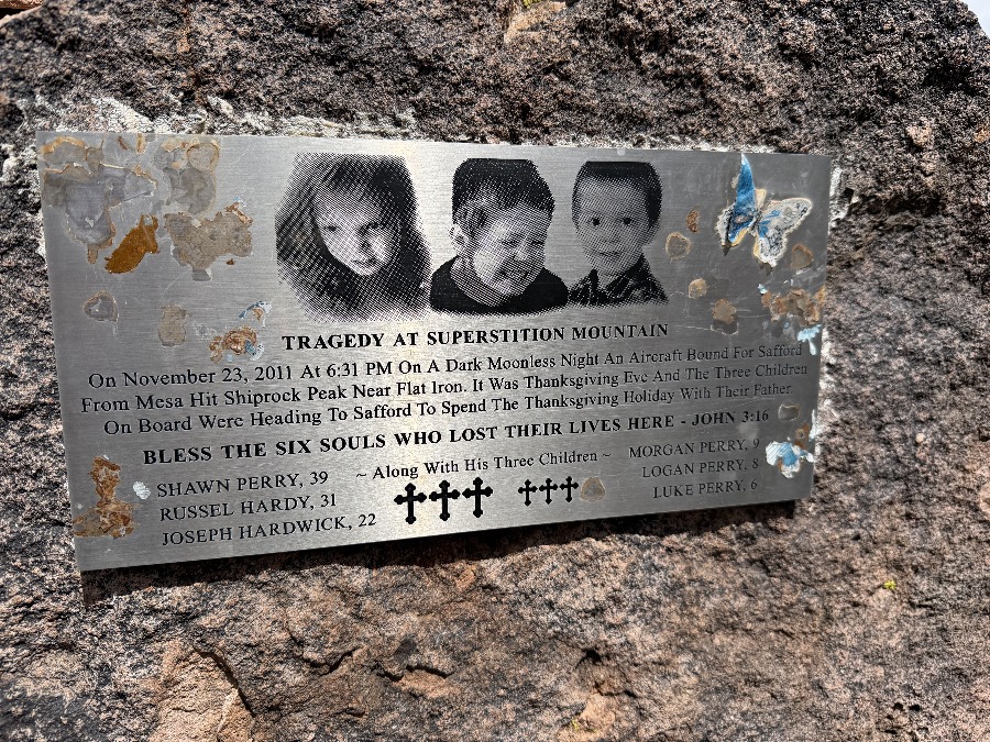
Now you can get a perspective of our ascent up the rocky gully angling to the right. On the way back we walk over to the left of the “shelf” to find a memorial to a tragic light aircraft crash in 2011. Life is finite, enjoy it while you can.
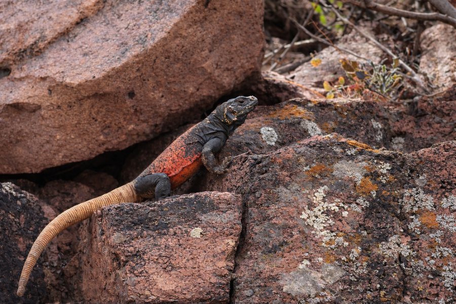
He’s about 2′ long and I read later that he can store water in his tail.
After three visits I have had my fill and feel that we have conquered Flatiron.
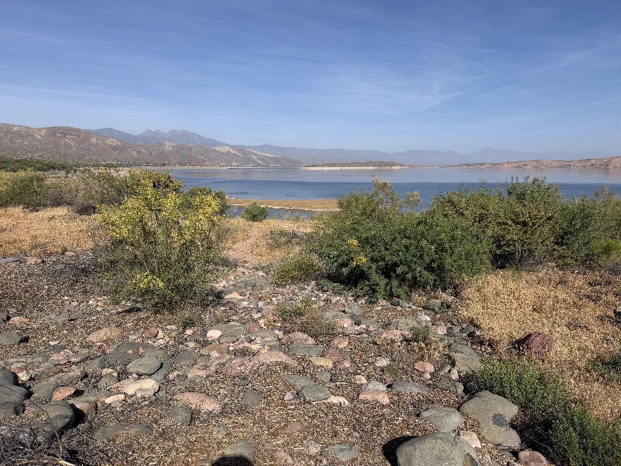
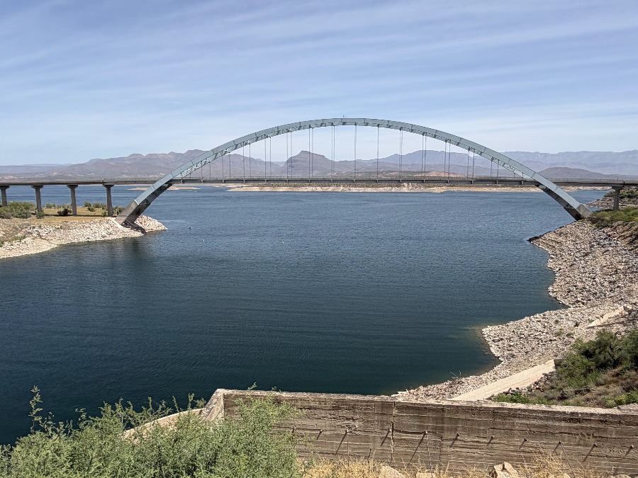
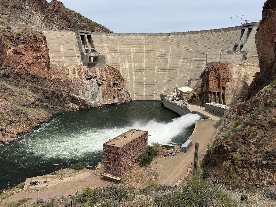
We’re now on our way up to Sedona to meet up with Ann & Jerry but we take the longer, unexplored, route via Theodore Roosevelt Lake. First east to the copper mining town of Globe before turning north to the lake built in 1911. We later find out that we’ve arrived as a fishing contest is ending and we struggled to find a decent campsite.
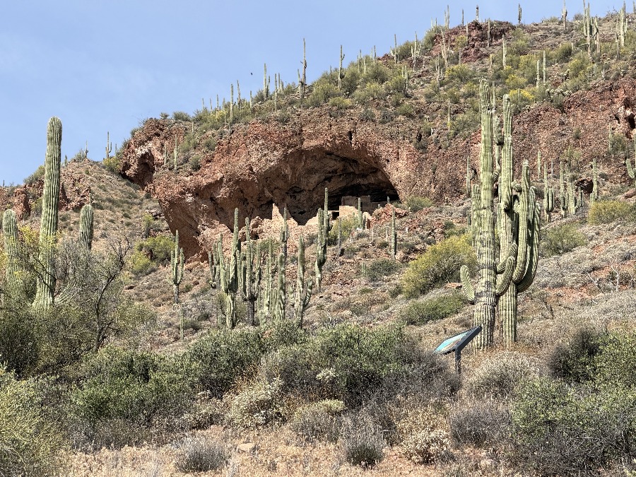
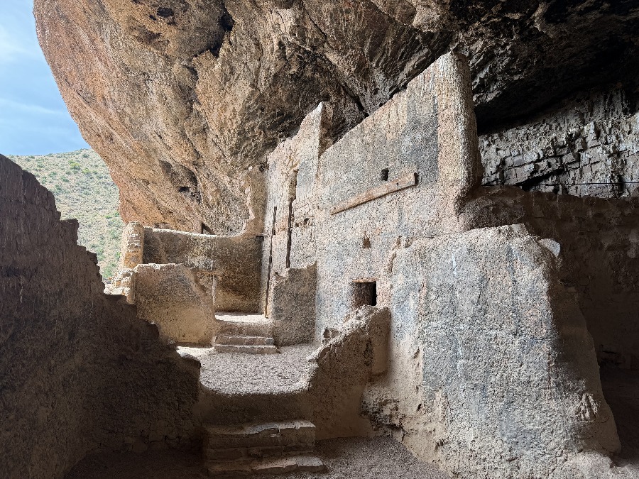
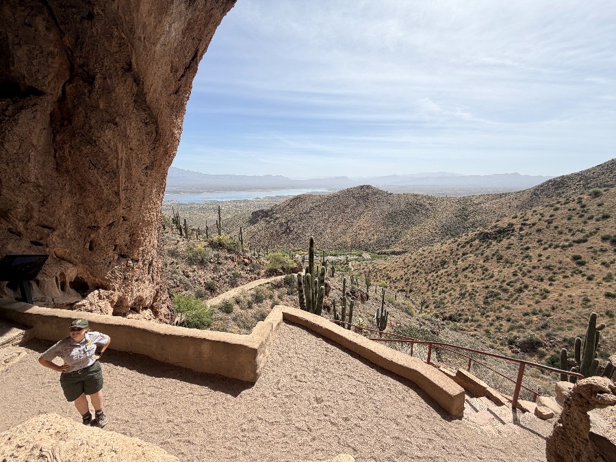
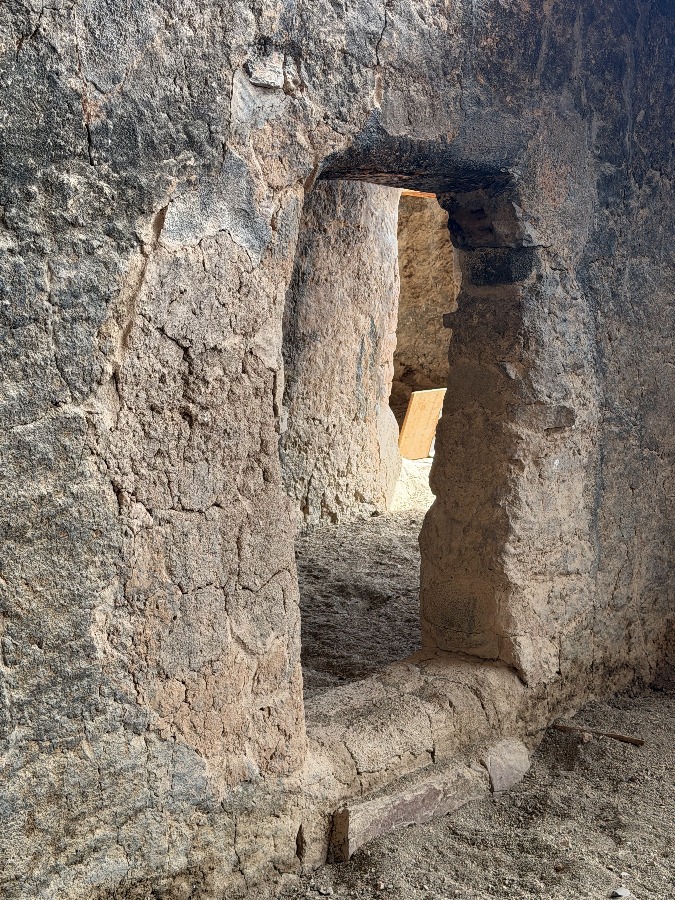
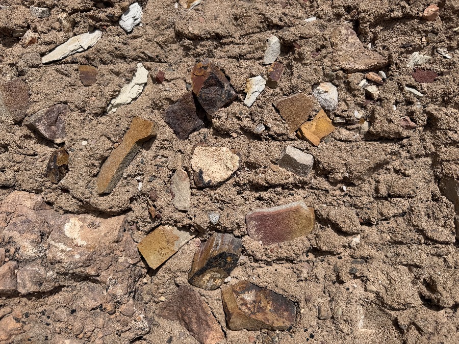
We visit some cliff dwellings from around 1250 to 1450 AD similar but different to others around the SW.
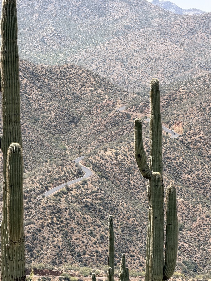
We venture along route 88 which feels desolate and warns you not to break down here. It will connect you back to Lost Dutchman but the pavement turns to gravel and might be steep & twisty.
We continue north and then west into Sedona where will pickup in the next post.