I get this email saying Mark & Maikel are doing the Flying Monkey ride tomorrow. Wait, I know this is a grunt and pause for consideration. Next email says “You’ll like it!” and I reply “Sure, when & where?”.
A four mile preamble and then the 6 mile climb begins. MapMyRide says its 2700′ over the 6 miles. I ride ahead to take a photo. Nice one but it was the last time I saw their faces till the top. Never did get any closer than the disappearing dots in the next pic.
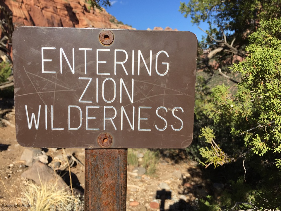
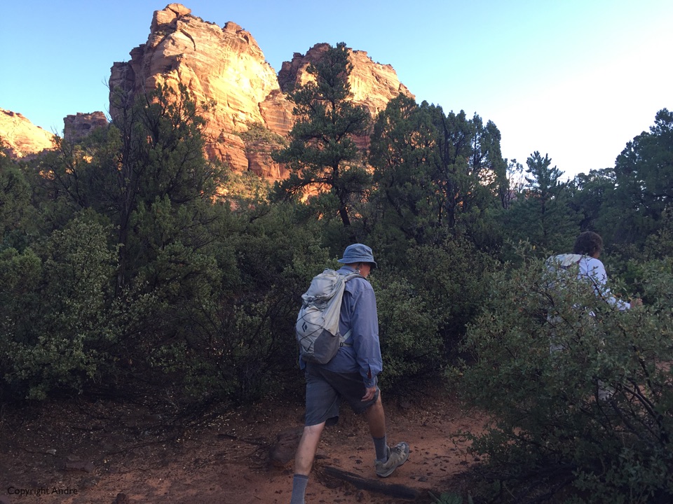
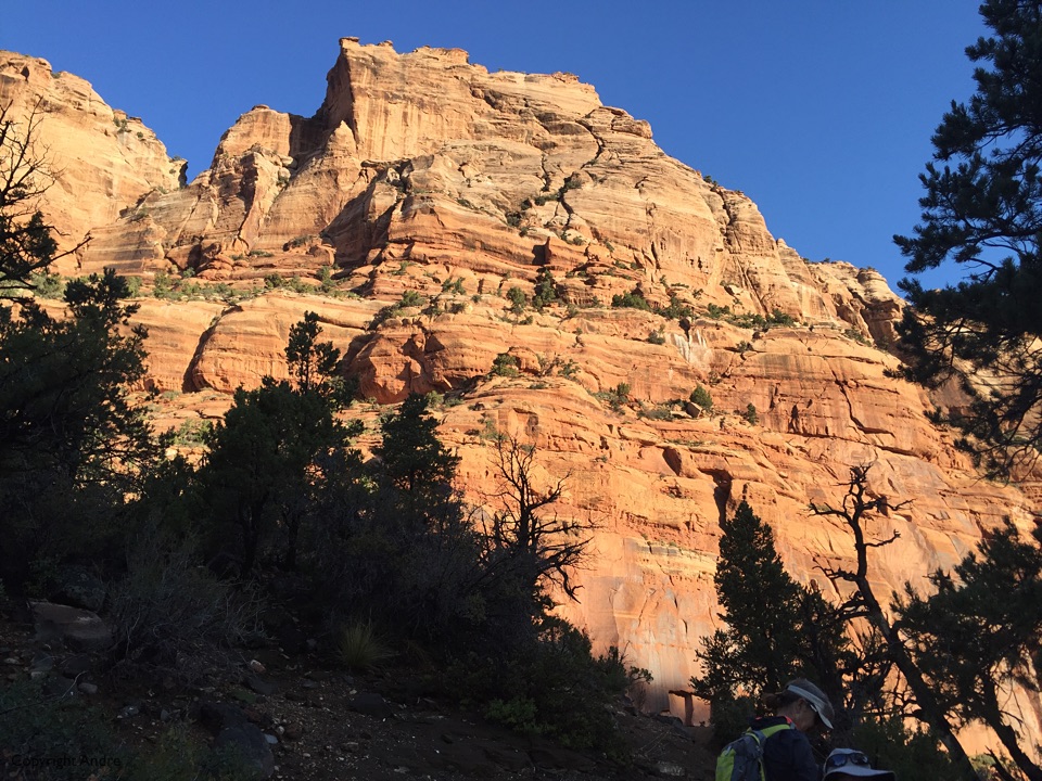
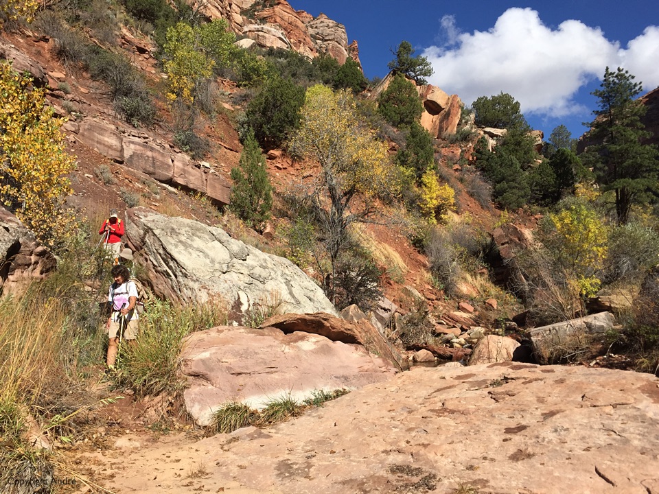
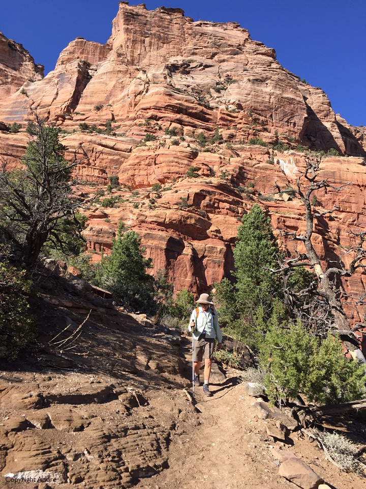
I was itching to do a quasi traditional hike, one I had never done before and it might as well end in Zion Canyon even if it was crowded with tourists. East Rim Trail fit the bill and I cautiously informed the others of our intentions. Mark, Maikel & Susan said yes and we also now had two cars needed for the one way hike shuttle.
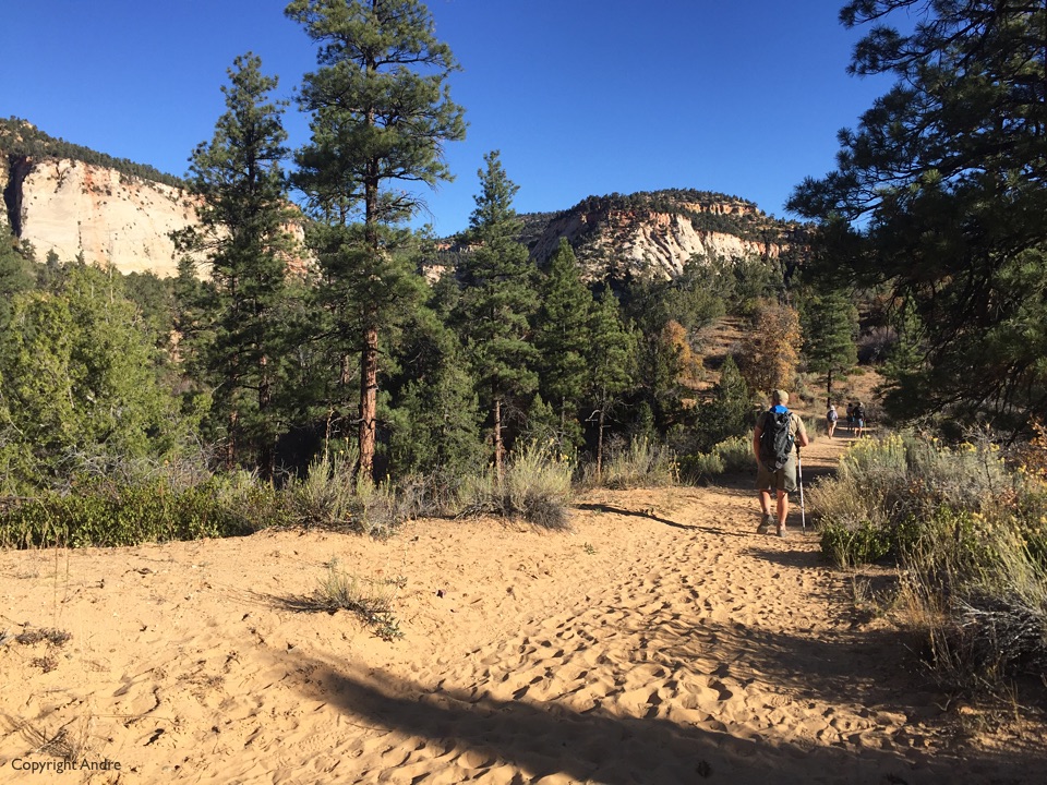
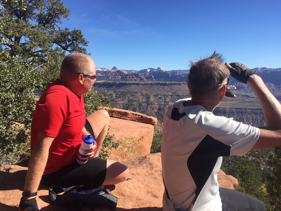
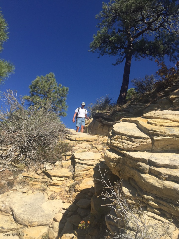
Once again it was simply nice to be out in the back country walking the trails. Weather was cool with clear skies as we hiked up Clear Creek and slowly wound our way up towards the top of the surrounding shelf.
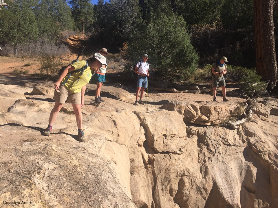
Jolly Gulch gave the option to peer over the edge as if looking down a dry waterfall.

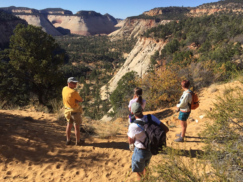
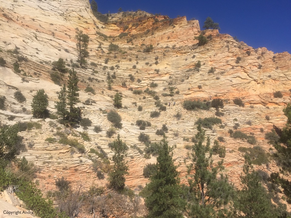
The trail traverses the top, which looks like a sparse forest rather than Zion cliffs but the reward is the last section as we descend, first into Echo Canyon and then Zion Canyon.
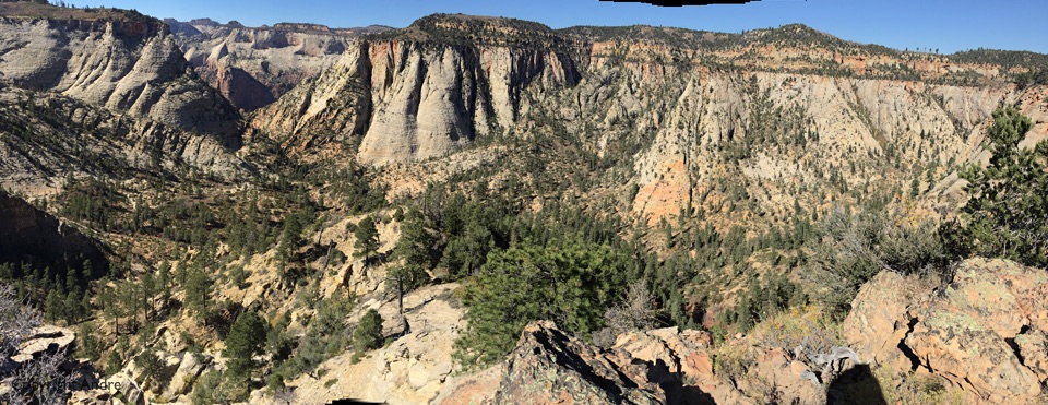
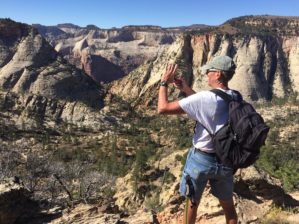
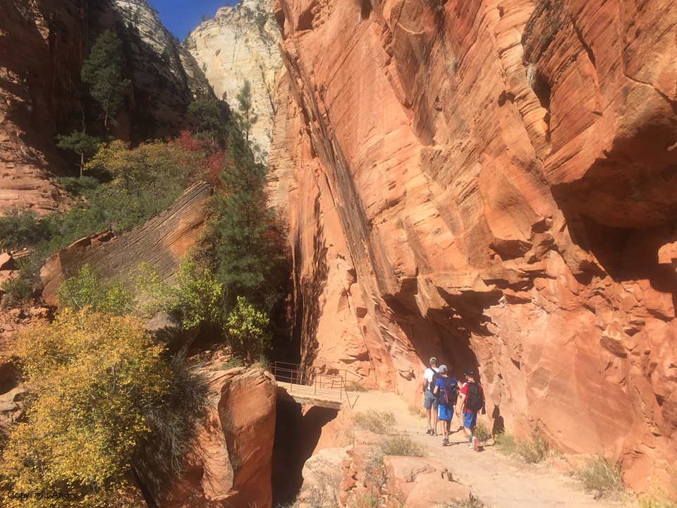
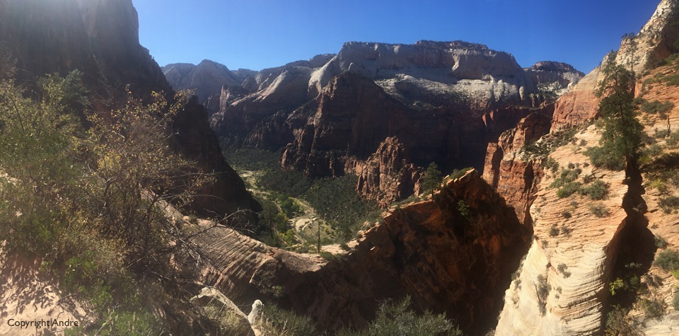
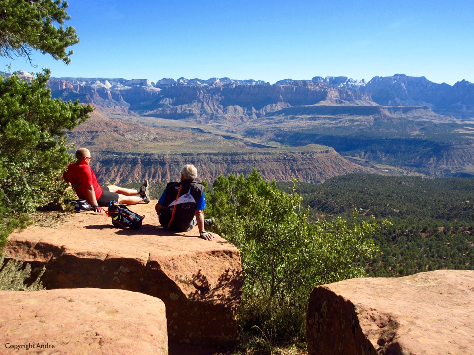
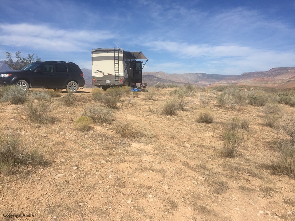
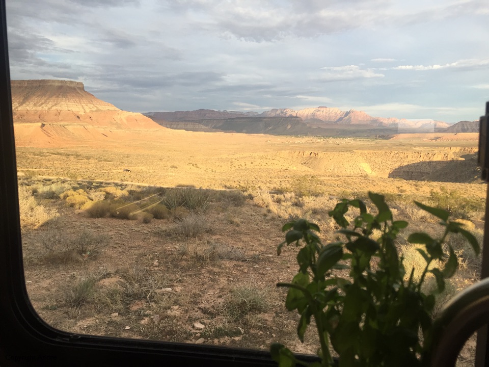
Really fun 11 odd mile hike, a bit of uphill but mostly we lost elevation from the East Entry down to the road in Zion Canyon. Shuttle bus back to our car was chock-a-block full and so was the Visitor parking lot. I had had my fill and we escaped to our hill top perch to gaze out over the now desolate horizons.
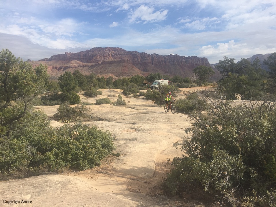
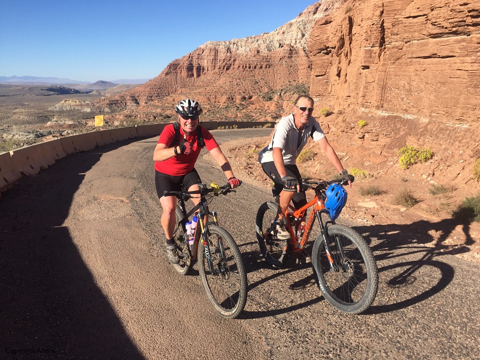
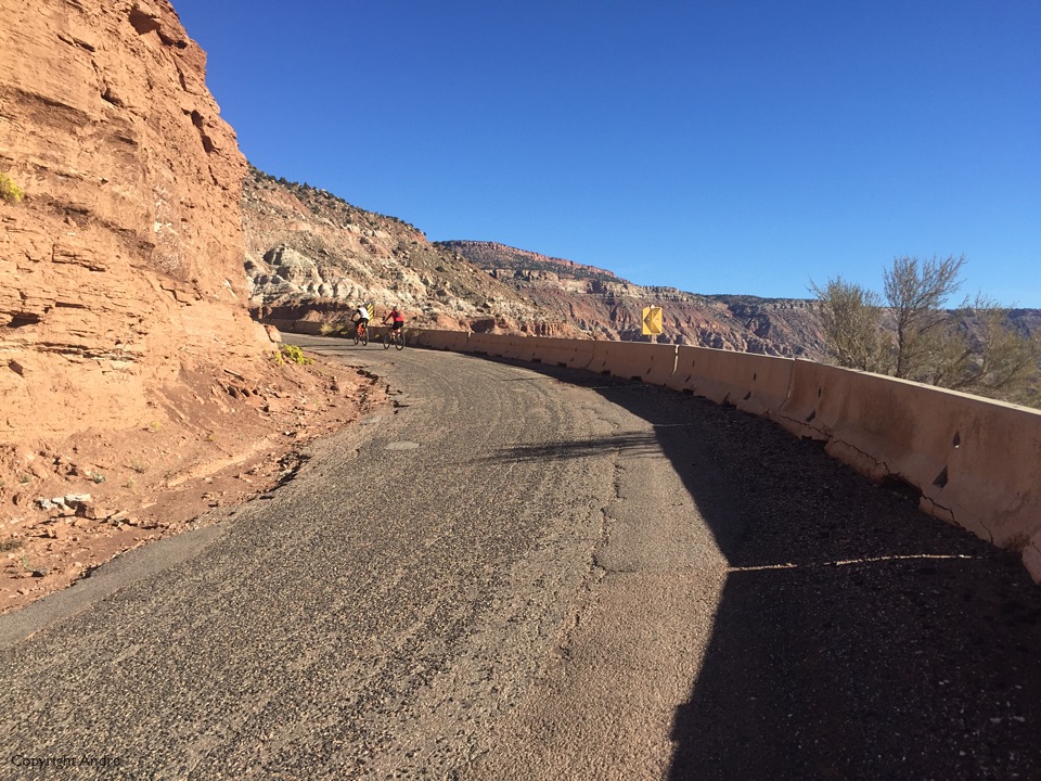
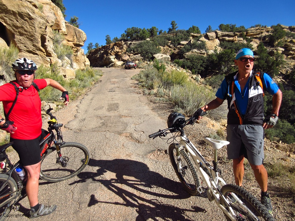
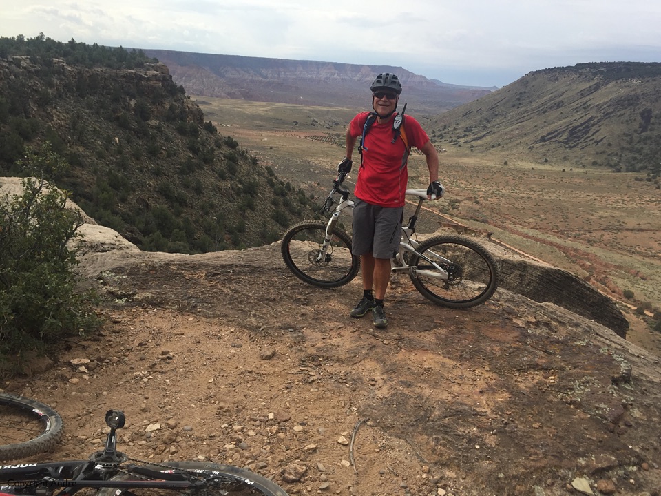
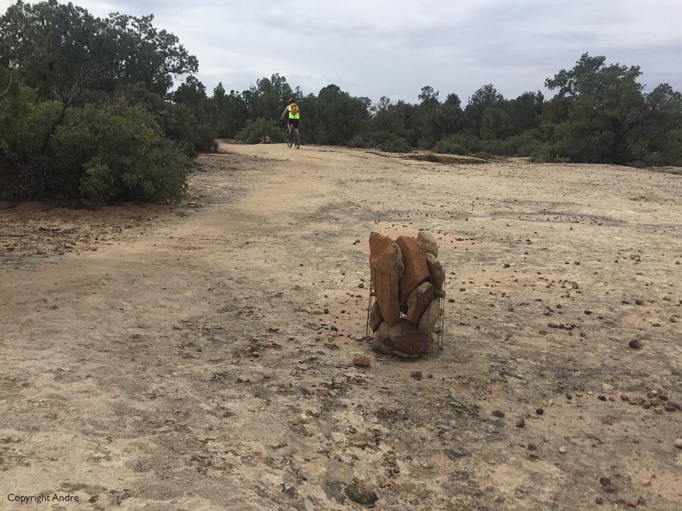
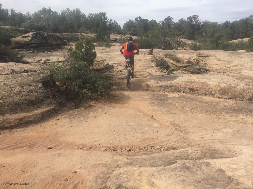
Had to get up Hurricane Mesa and check out Guacamole, a slick rock bike ride. The road was a bit rough up to the mesa and we parked next to a couple of cars at the perceived start of the ride. A friendly chat with a family set us off in the right direction watching for white dots and baskets of rocks acting as cairns.
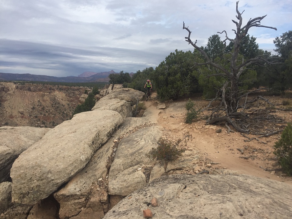
Skies started to darken and we turned around short not wanting to get caught in a downpour. We still had other business to attend to.
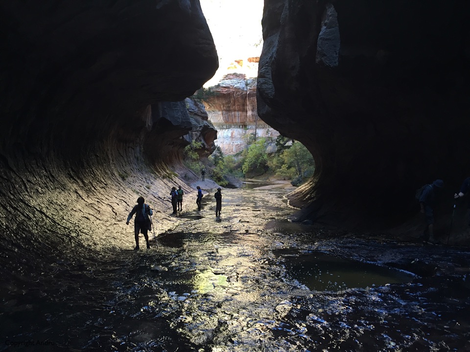
Previously, at the end of one of the hikes Mark had let out “Anyone interested in doing the subway”? Now I knew of that hike but also that it was super popular and therefore full of bureaucratic red tape and that had dissuaded me from putting it onto the radar. Gail chirps up that she thinks there are still permits available and that got my curiosity. There is a three month lottery for permits and then a last minute drawing where you can apply 2 to 7 days ahead of your hike. What the hell, the fee is a non-refundable $5 to apply, and I applied for 8 spaces. They make you wait till it’s two days from your request but it was worth it as we got our allotment. That is where Rose & I were now headed, to the visitor center to pick up the permit.
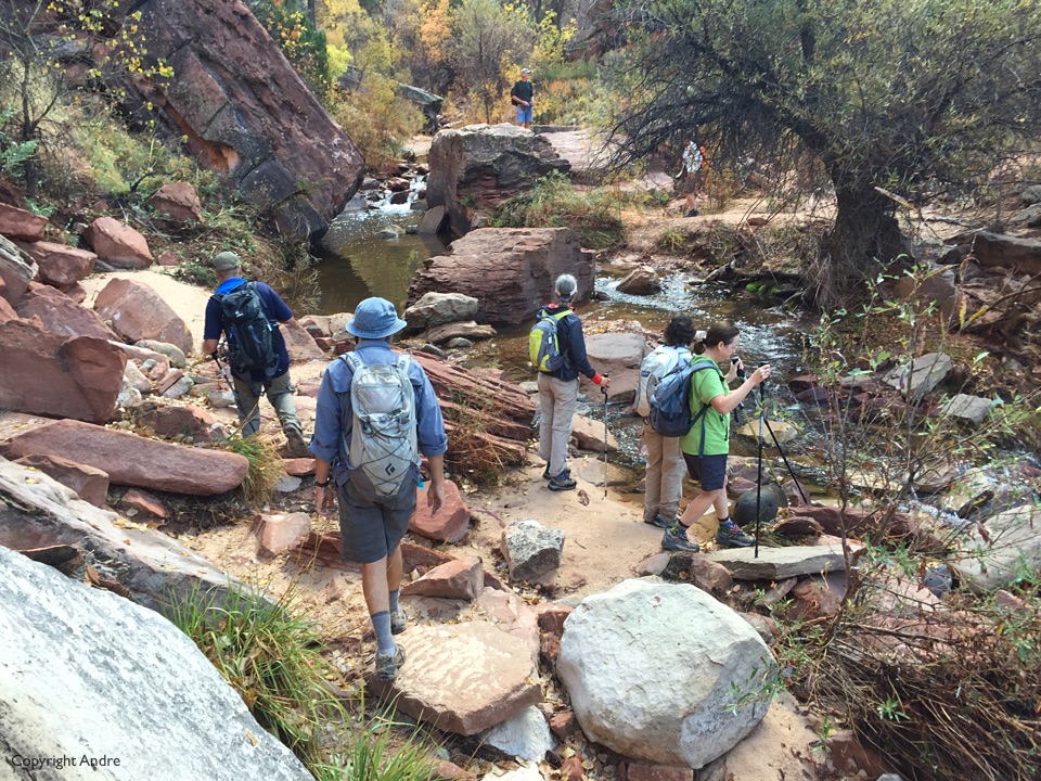
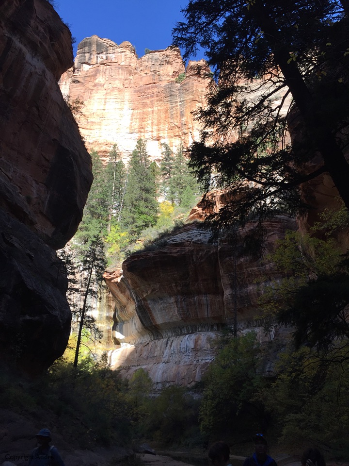
“Early start” says Mark and we hit the trail before the sun could wash down the cliffs and into the Left Fork North Creek the official name of the canyon leading up and into the subway.
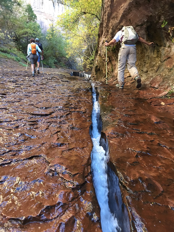
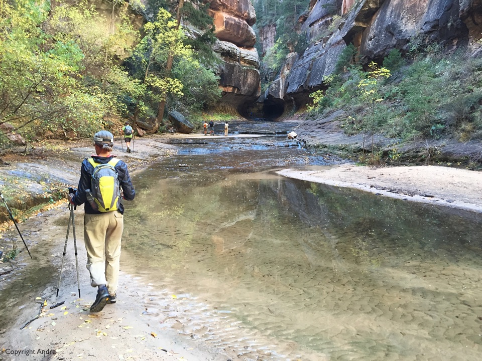
On paper, the bottom-up hike we were doing, is listed as being around 6 or 7 miles round trip but numbers deceive as most of it is in a bushy canyon with plenty of goat trails, sections of pathways that start and end for little reason together with multiple necessary and unnecessary river crossings – Get the picture?
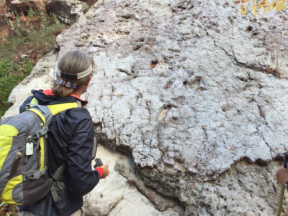
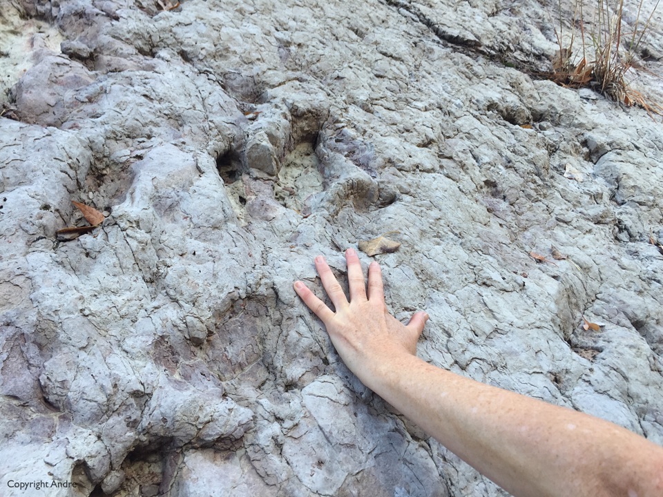
The Zion website describes them as: “Eubrontes is a larger three-toed print–generally 10 to 20 inches long–from a larger dinosaur such as Dilophosaurus.”
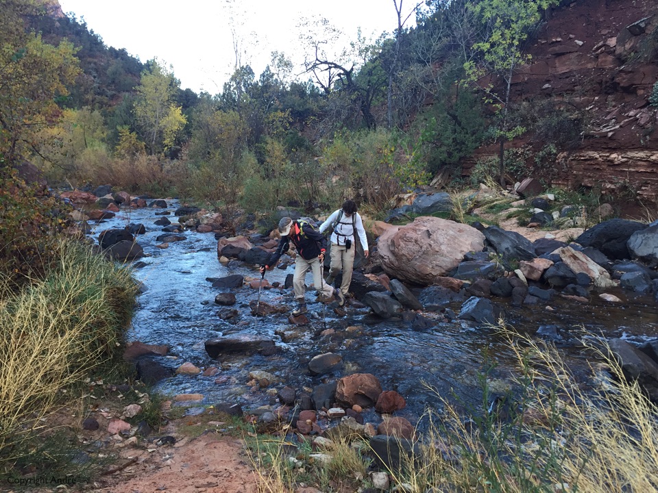
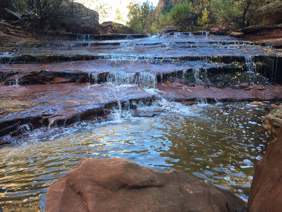
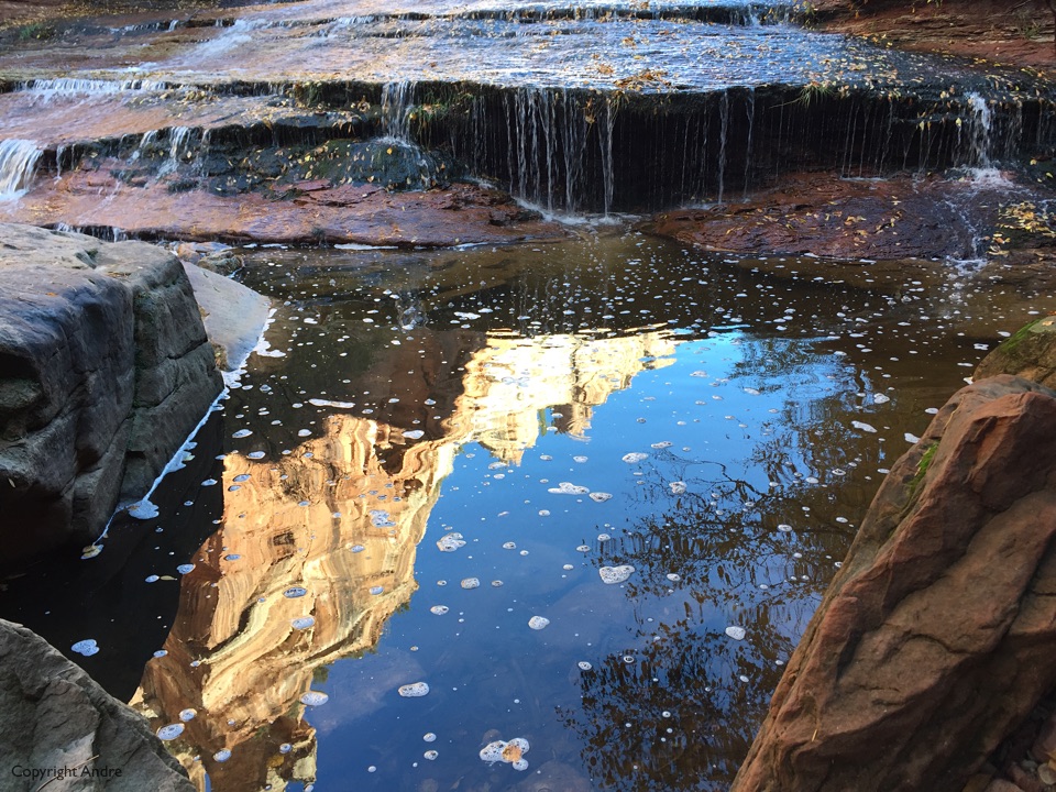
The canyon narrows and the river dominates. One of the few times I was glad that Maikel lent us some hiking poles as the water swept rock can get very slippery.
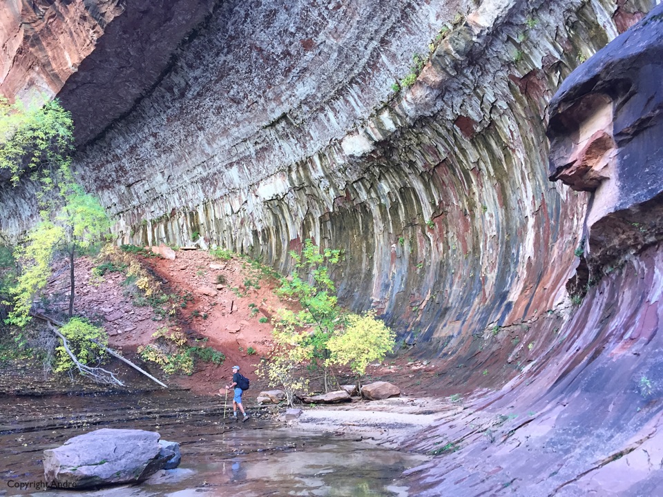
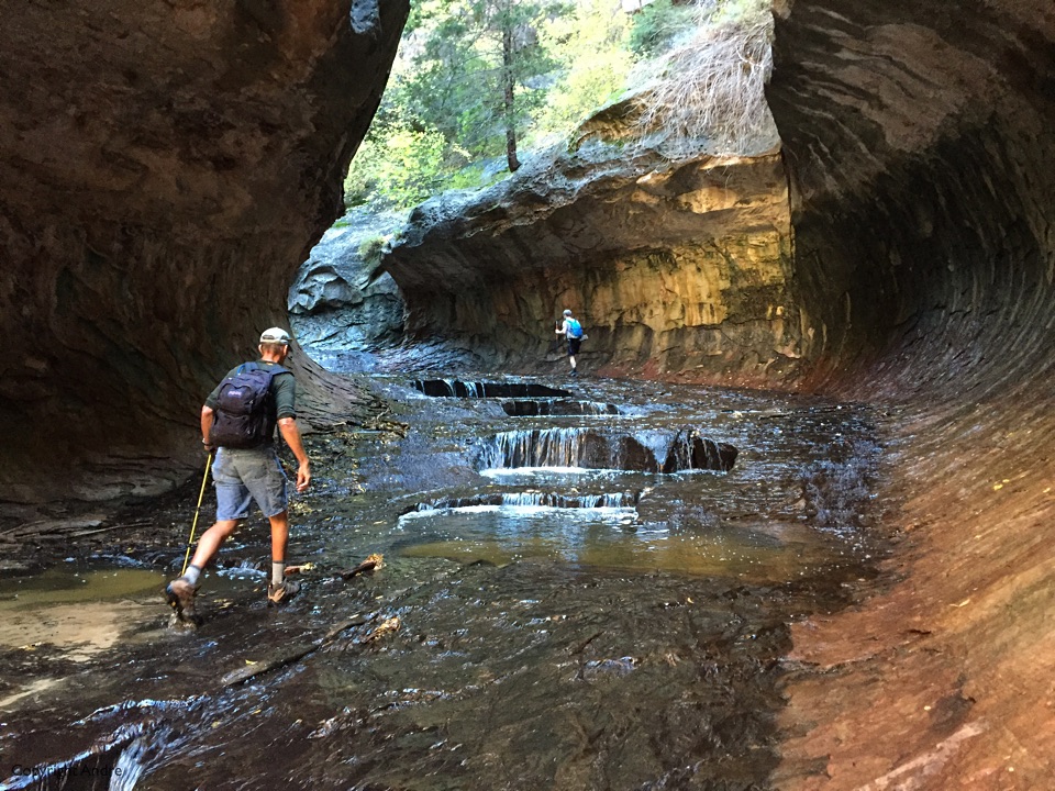
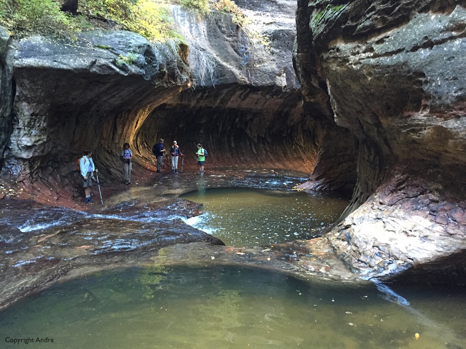
The photo above is as far as we can proceed. The end is behind me and I am looking back the way we came in. To see the upper subway you have to enter from the top of the canyon with rope and wet suits as you have to rappel (I grew up learning to abseil but now I have to rappel) and swim though mandatory pools. On the bucket list for next time.
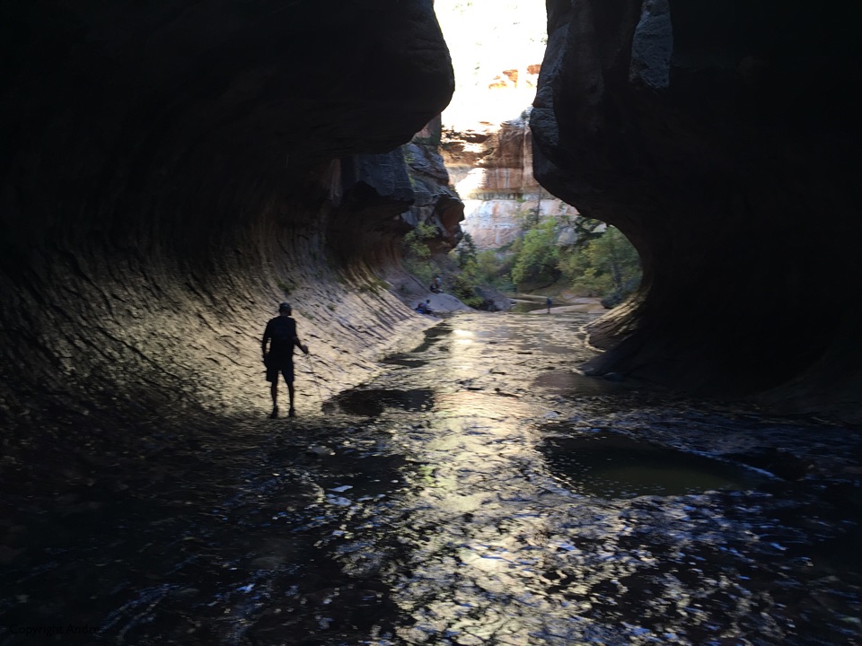
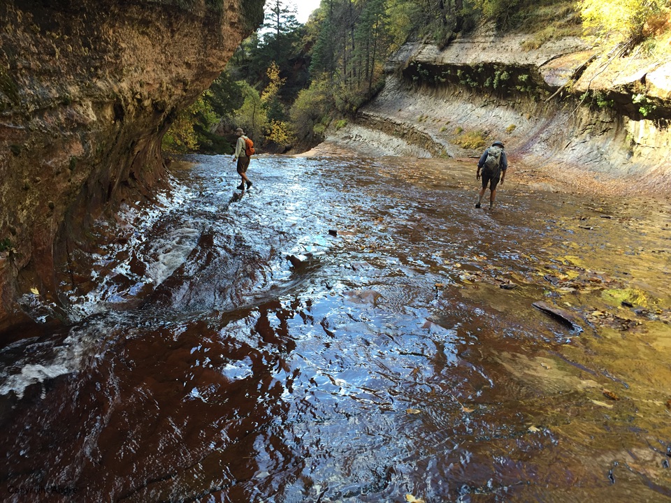
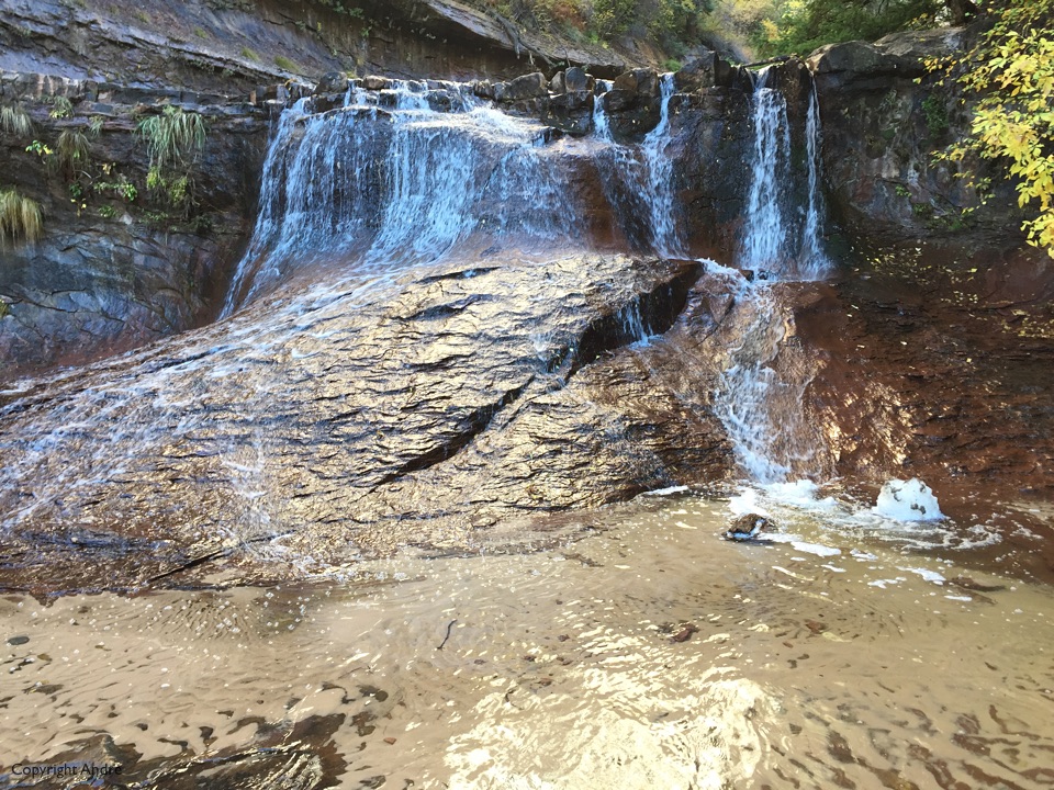
Still the hike out with the same indecision’s as to where the trail goes and where’s the best way to cross the river.
You with Your iPhone did a great job… Top Down next time!!! Gayle??? Suzanne??? Chris??? Maikel? Susan???
Box Canyon Mark
Why not do an Orderville hike first? – has a few short chockstone rappels and wades to get the feel of it then have fun in the subway?
Ok… think it’s time to for a good fitting climbing harness and new rope, brush up on knots… take out additional life insurance… pre plan funerals :))
Box Canyon Mark