That’s the Needles District of Canyonlands National Park and I need to start this off with my Mindset;
We left Comb Ridge and had 3 days before we were to meet our good friends Susan & Ross in Moab. I wanted to visit Needles for some hiking out of the Squaw Flat Trailhead but we only had the RV and no car to run around in so I wanted a campsite at the trailhead but it was small and impossible to reserve a site because of its popularity. There are some first come first served but we were arriving at 11’ish and surely they would all be taken by then. What the hell, lets do a drive by and see for ourselves – I really wanted to hike here.
At the entrance gate the sign said “campsites available”, really? The ranger said see the camp host, site #10. There are two loops, A for unreserved and B for reserved. The loops are really two roads and we slowly drive up the A looking for the “available sites”. They’re all taken and as we come up to the turnaround loop at the end a car approaches and an arm extends and waves us down. It’s the host; “You looking for a site?” “Yes!” “There’s one left. #16. Pay within 30 minutes.” We couldn’t believe it, how did this happen. Turns out someone had occupied it but then left and we happened by at precisely the right time. Still couldn’t believe our luck as we settled in for 3 nights.
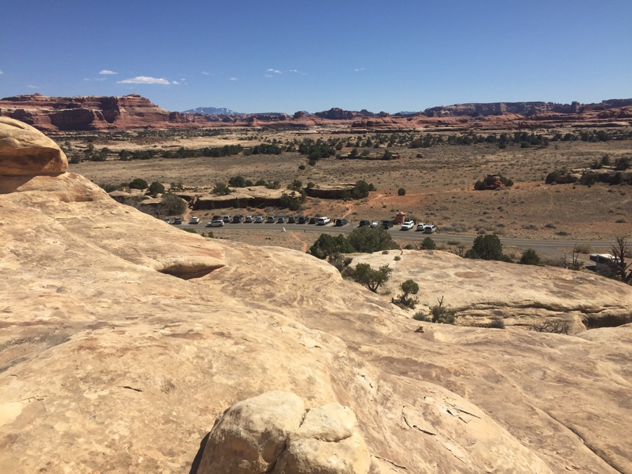
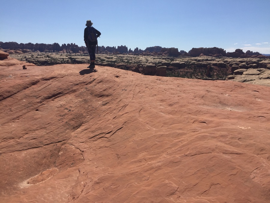
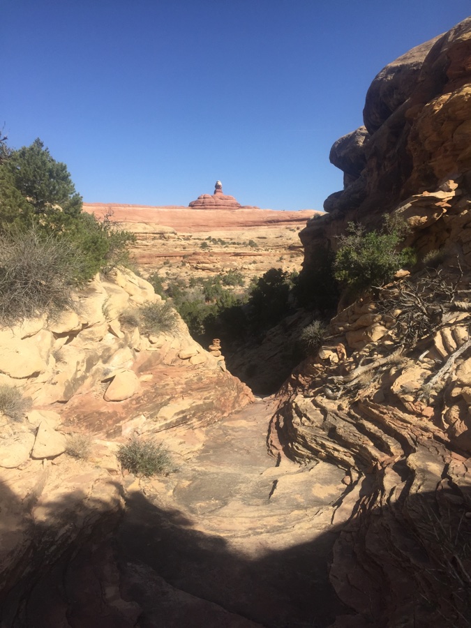
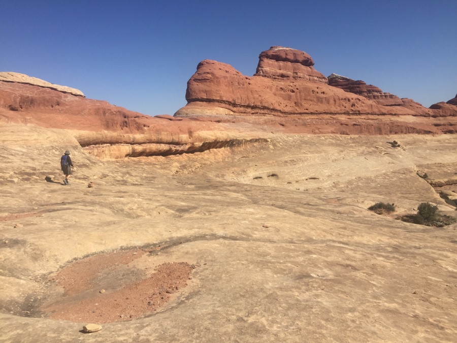
Get out for a hike around the area and quickly find out that mastering slick rock is mandatory. The map shows a number of interconnecting trails but does not convey the type of terrain. When hiking here I would say you are always on one of three: 1) Grassland which is the flattish parts in between the other two, 2) Canyons where you are down inside in washes or bouncing from side to side & 3) Up on the slick rock benches, cols and generally exposed and exhilarating sections.
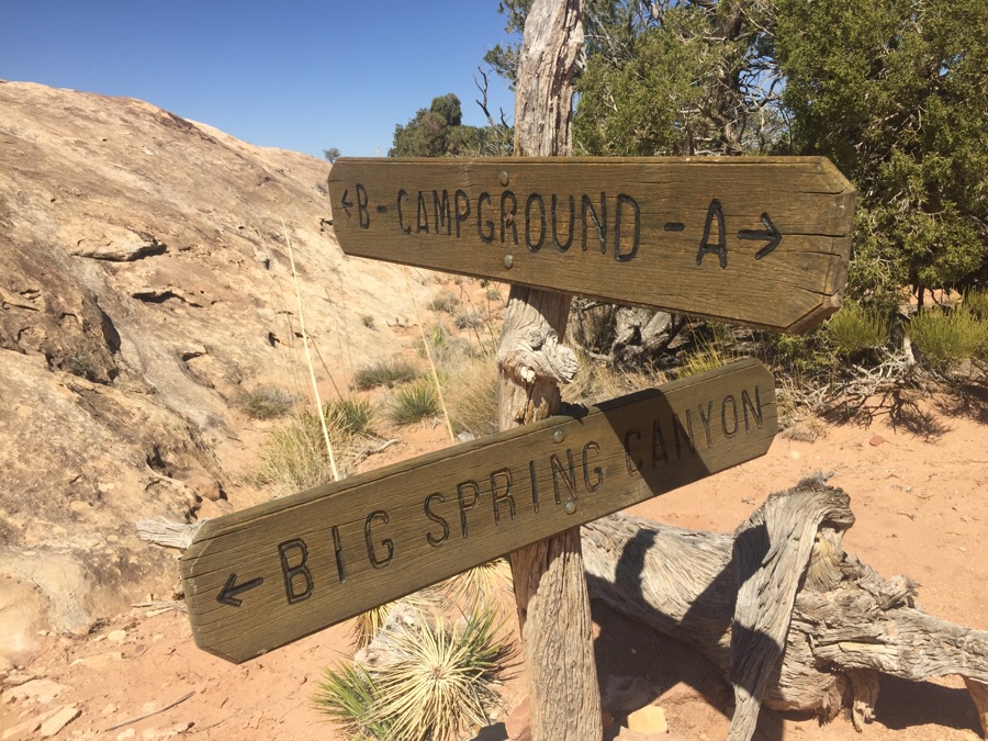
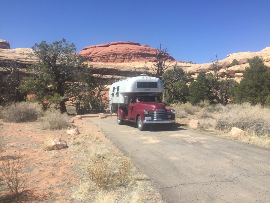
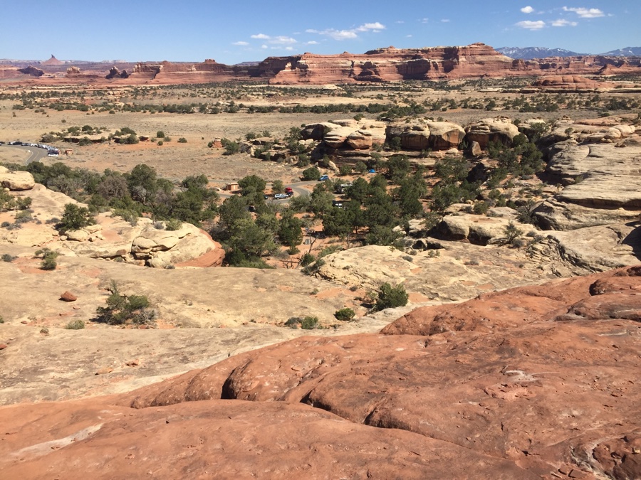 Our campsite was down in amongst the trees.
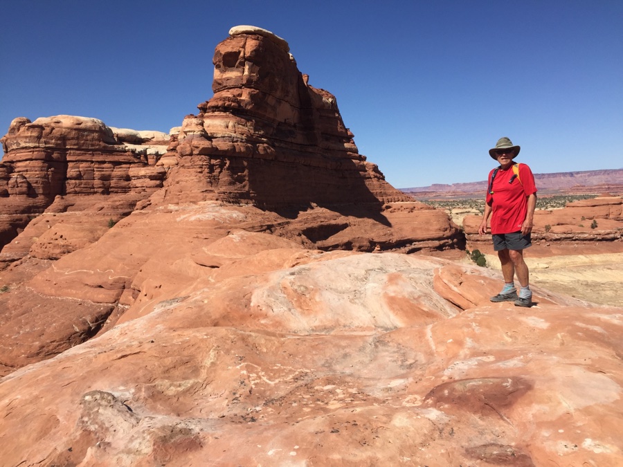 Warmup trail above the campground.
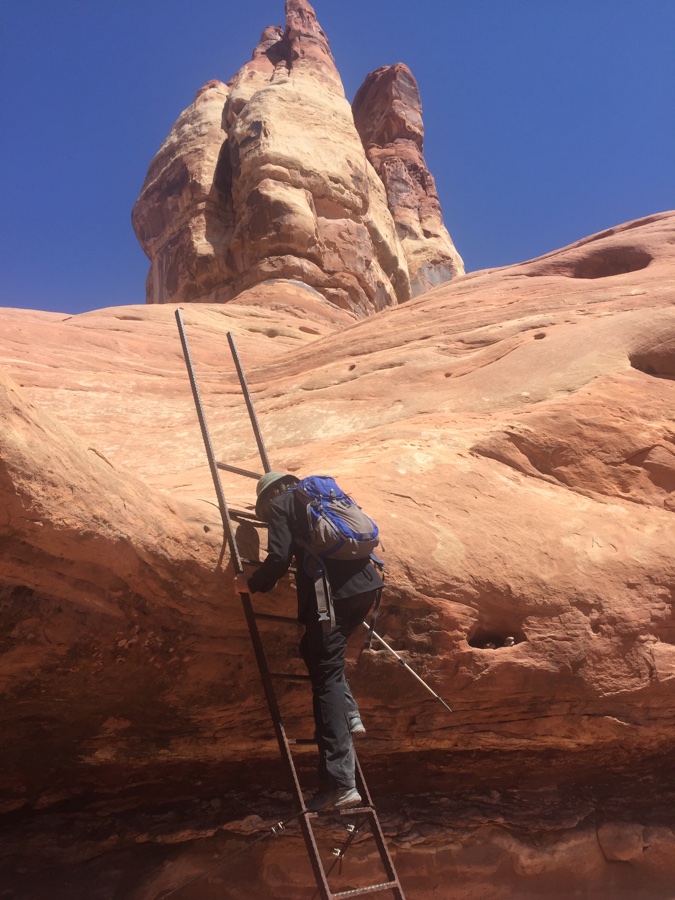
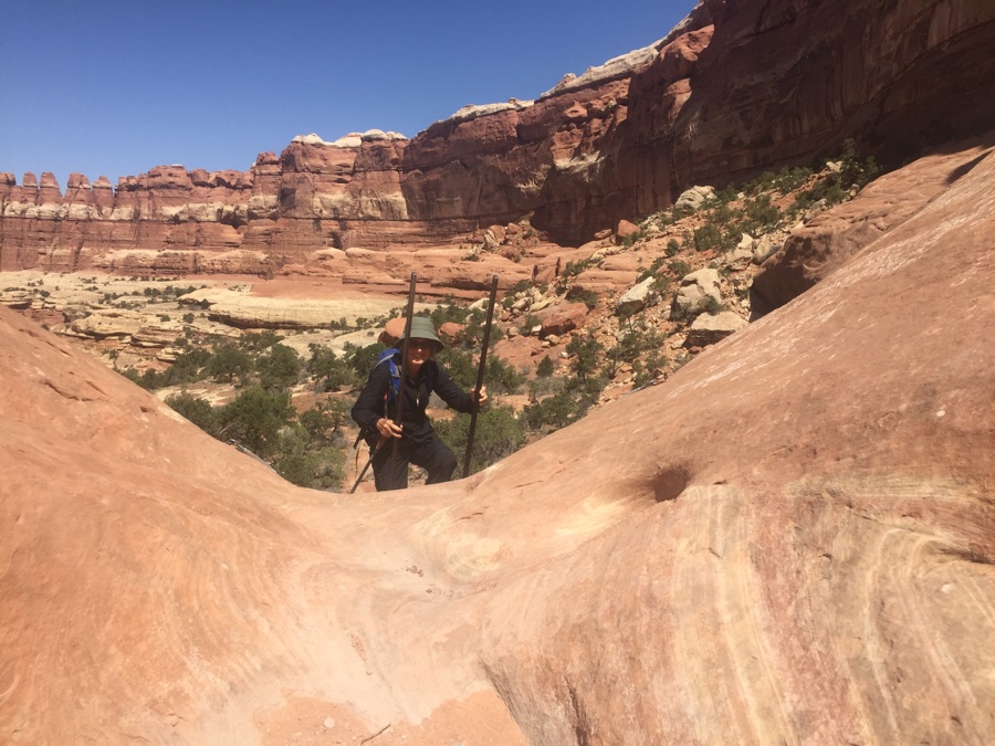
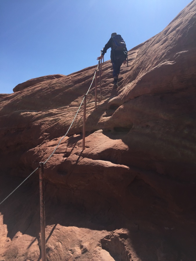 Some assist for the exposed section.
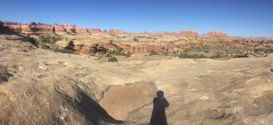
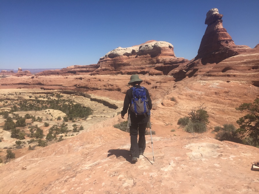
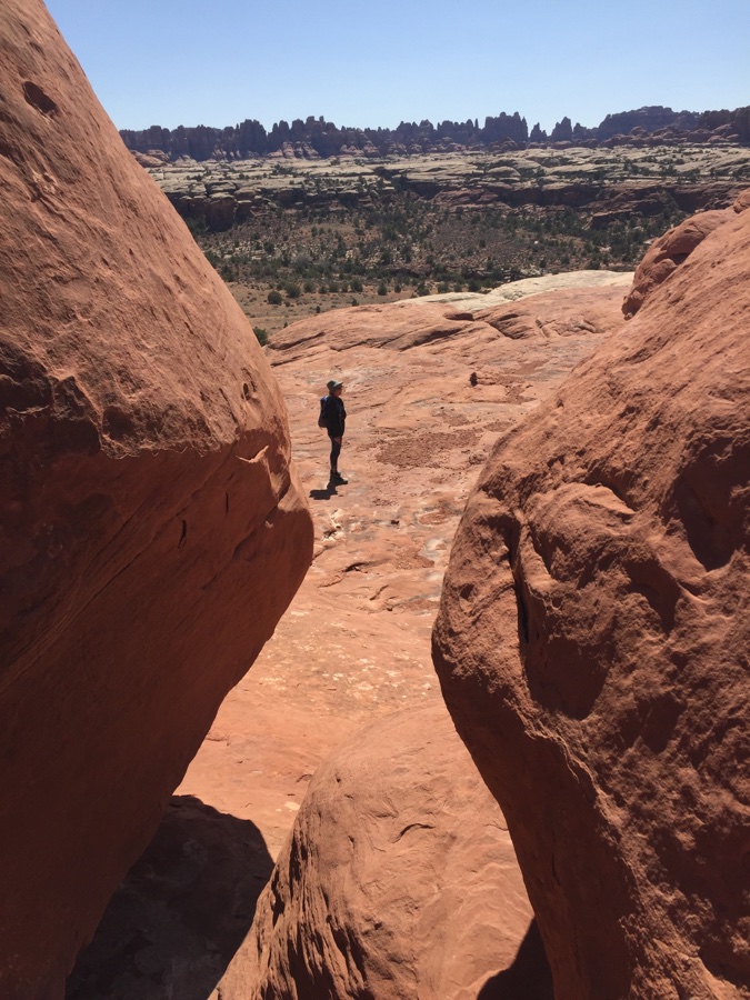 The landscape beckons you to take photos.
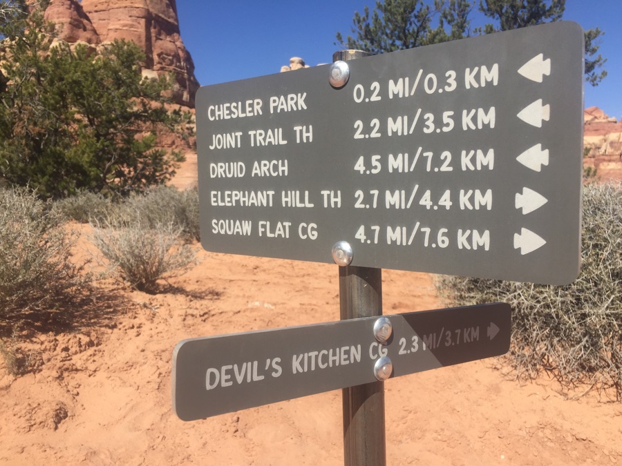
Two days of hiking and for #1 we choose a interconnected loop curving north towards Chesler Park and then coming back via a southern curve, 12 to 15 miles. I am hiking “blind” in that I don’t know what I’m hiking into and it’s impossible to gauge where the trail goes other that what lies directly in front of you.
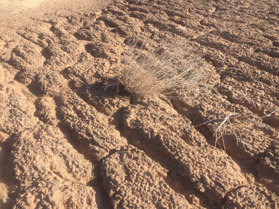 Biological Soil Crusts: “The knobby, black crust here may include lichen, mosses, green algae, microfungi, and bacteria, but is dominated by Cyanobacteria.” What this means is stick to the trail, washes or rock but not on the crusty stuff.
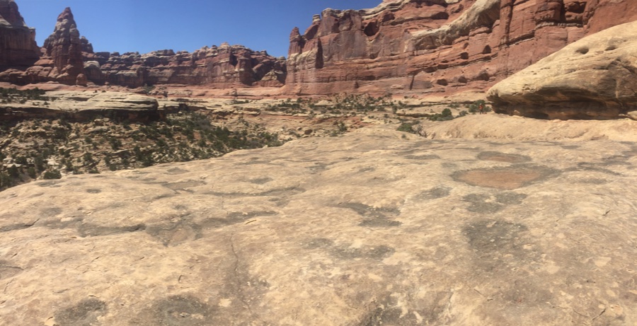
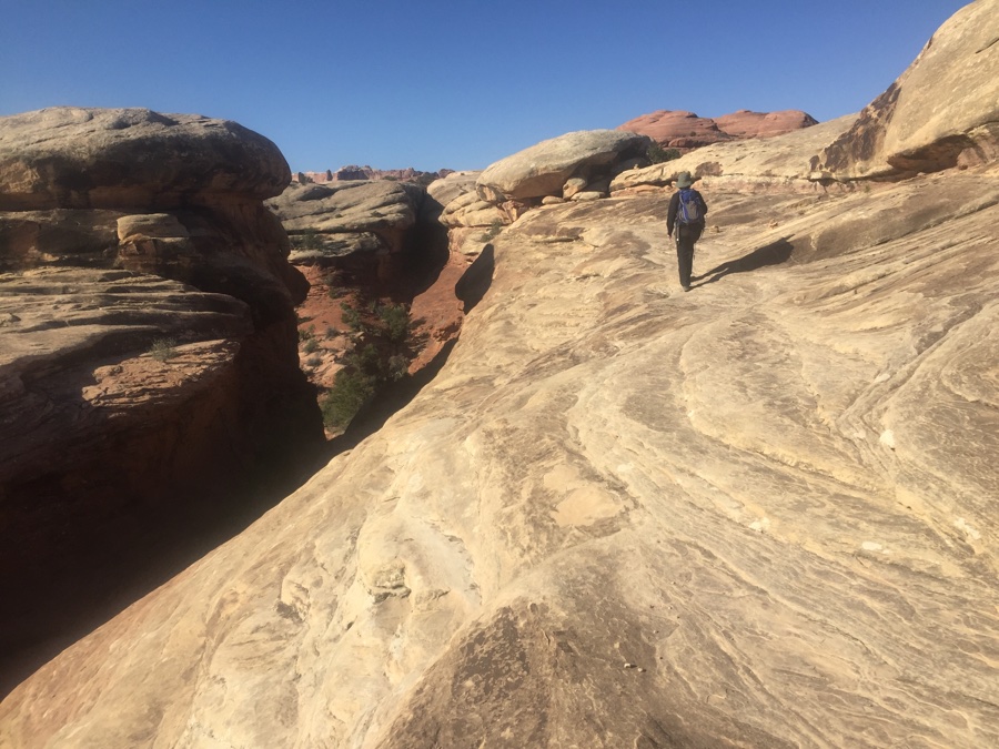
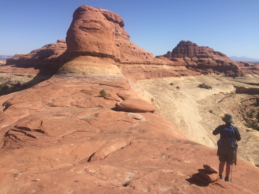
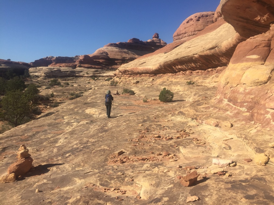 Often the trail contours along a rock bench.
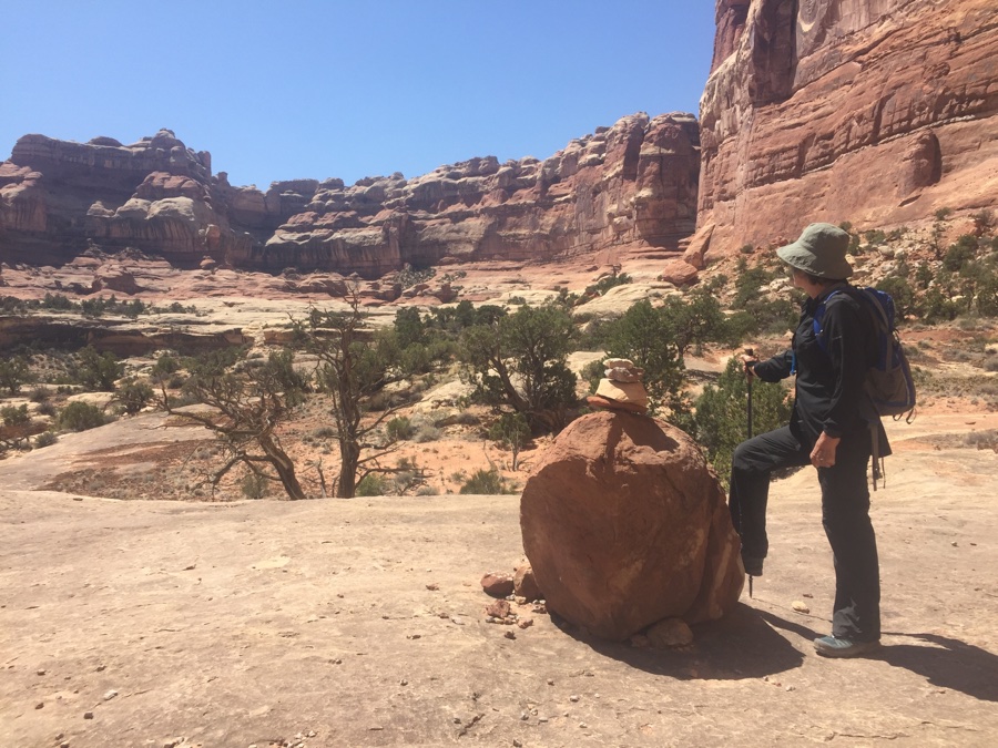
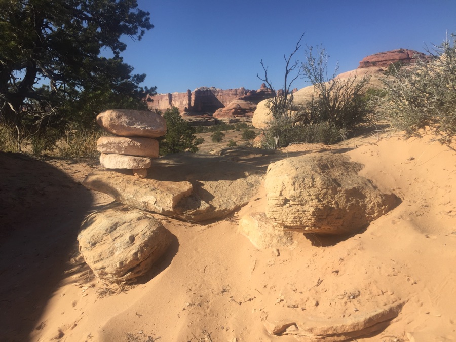
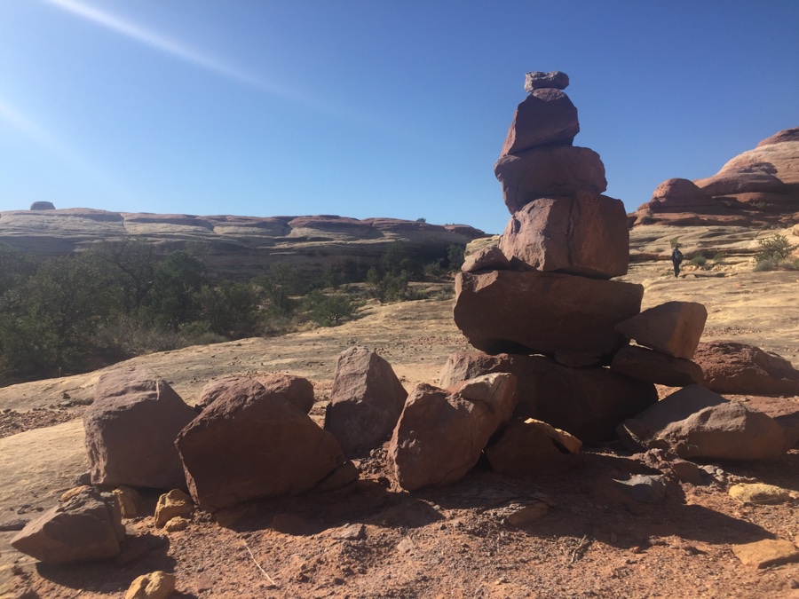 Plenty of Cairns along the way.
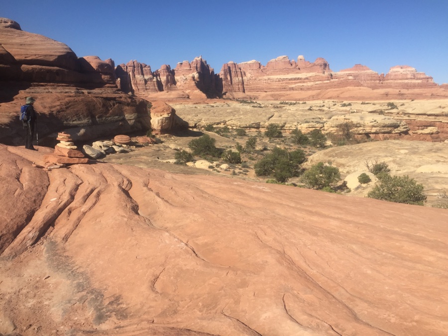
.
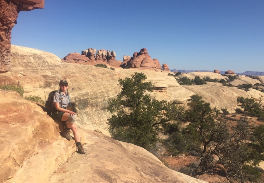 Your friendly Park Ranger.
She was hiking a brisk pace but got slowed down to talk to hikers along the way. Told us to listen for the Canyon Wren that has a unique melodic call.
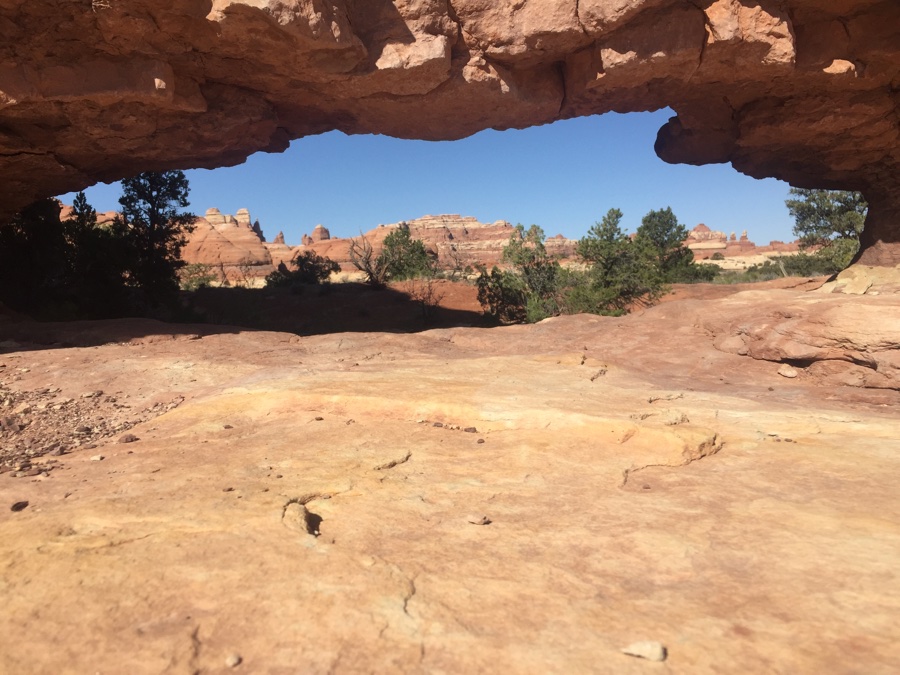 If there’s a hole, look through it.
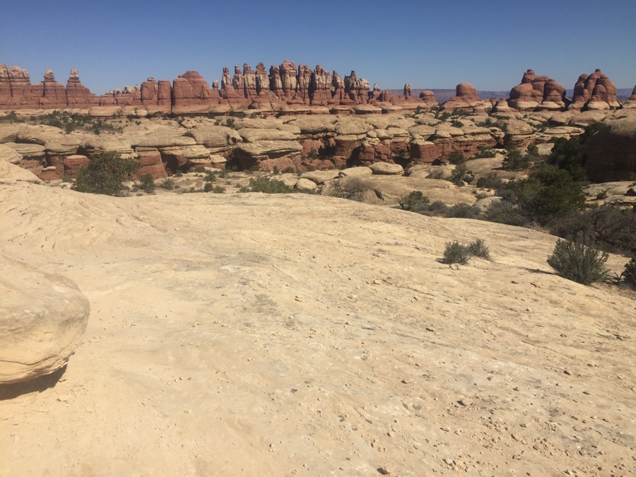
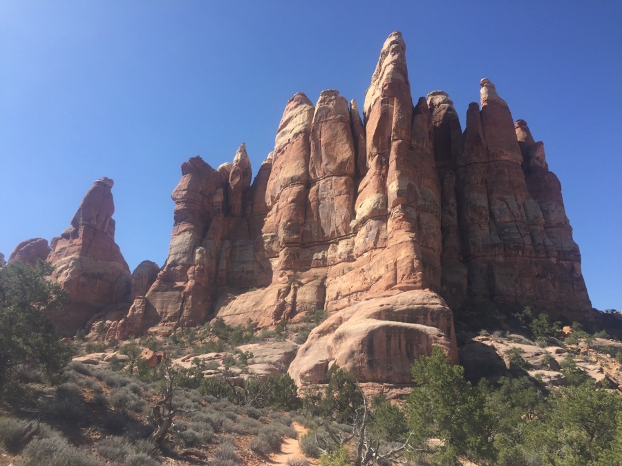
“Colorful spires of Cedar Mesa Sandstone”.
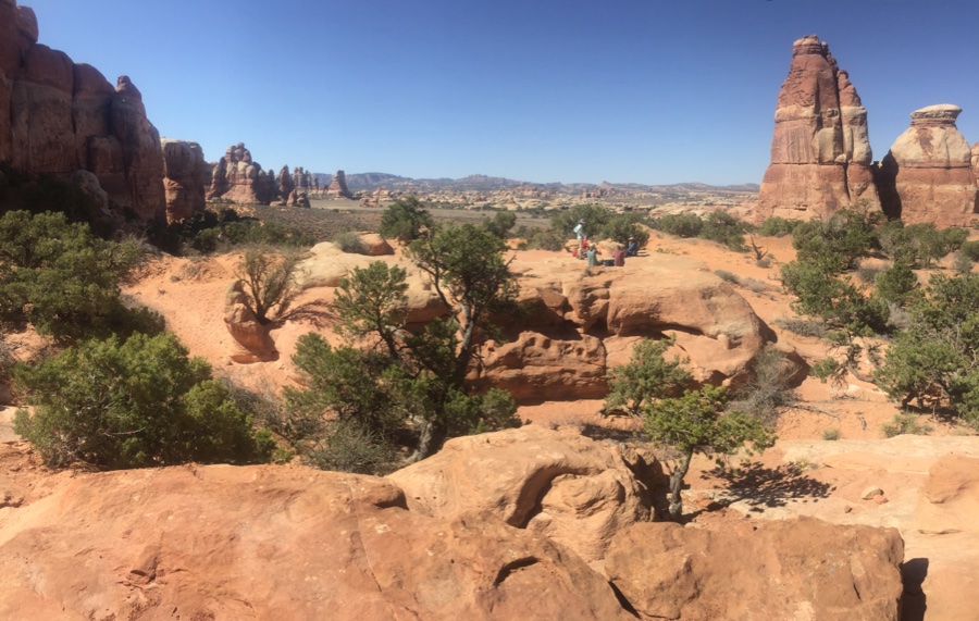
Chesler Park, more open and meadow like.
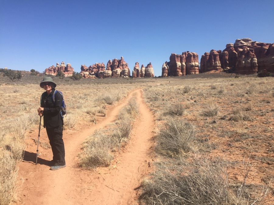
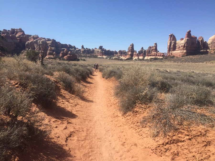
Hiking through Chesler Park.
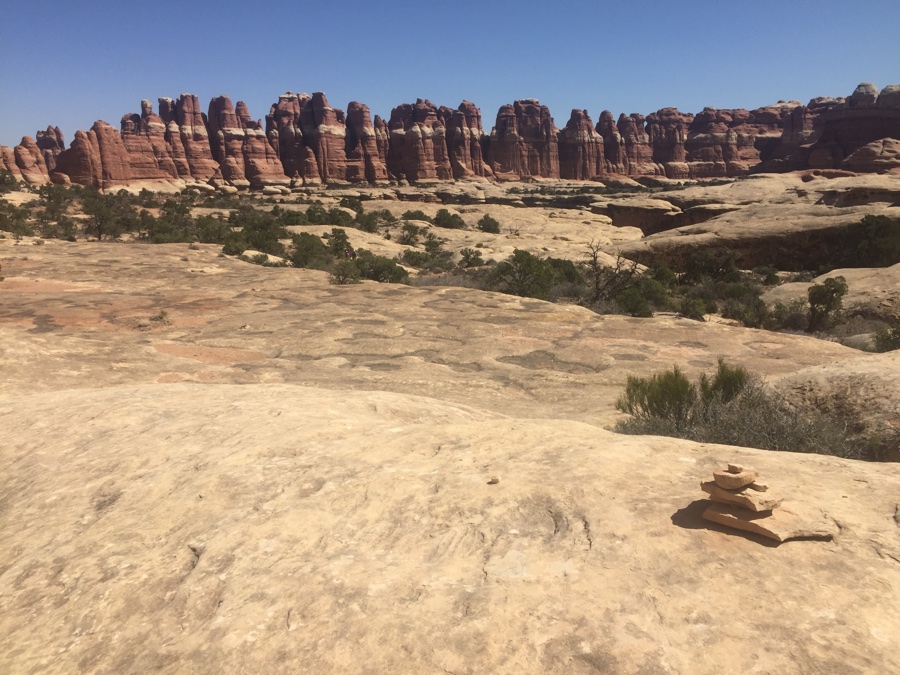
From Chesler Park we have to “get through and drop down into one of the canyons again”. The cairns take us along a bench and then a ladder comes into view to get us over the tricky part.
.
.
.
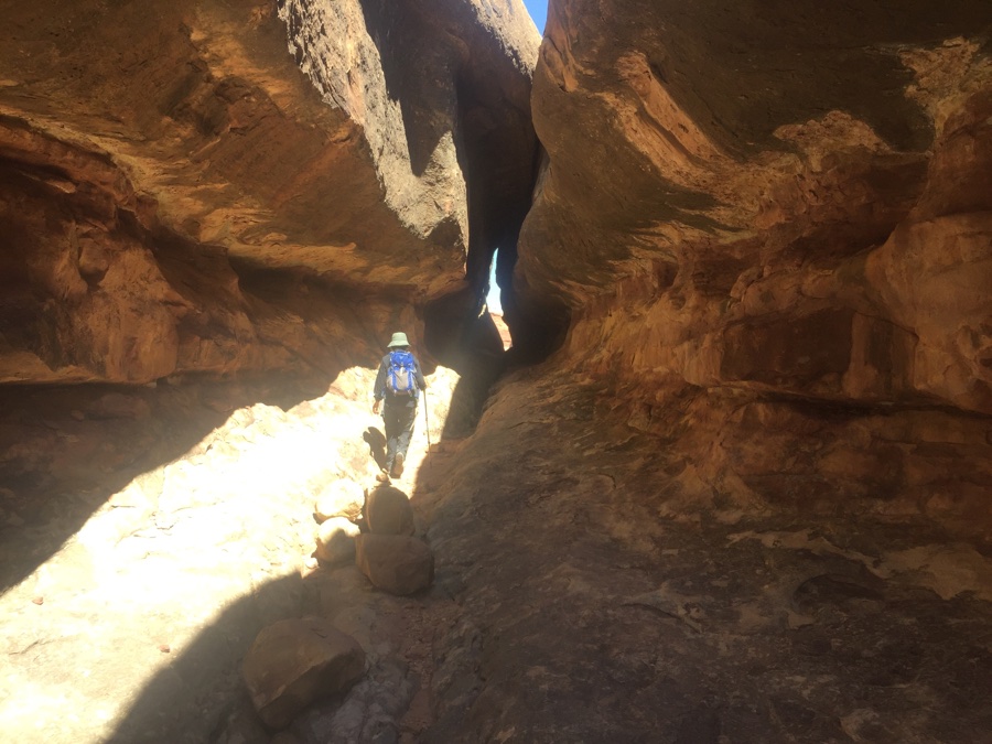 .
.Just before this cut through we meet a guy resting in the shade. He proceeds to volunteer the choices getting back to camp. “You can turn right and go back via Squaw which is an open canyon or left via Big Spring which is shorter and more scenic.”
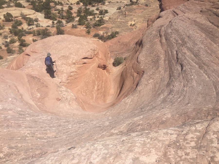
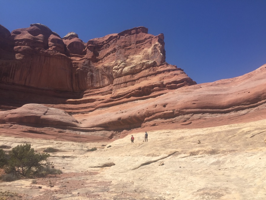 To get to Big Spring you have to get over this challenge where the two hikers are going.
Initial reaction is “no way” but if others can do it, so can we. The cairns go round to left and we’ll put our faith in them.
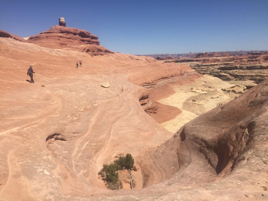
Following Rose over the slick rock. She says she does not over think it and just goes.
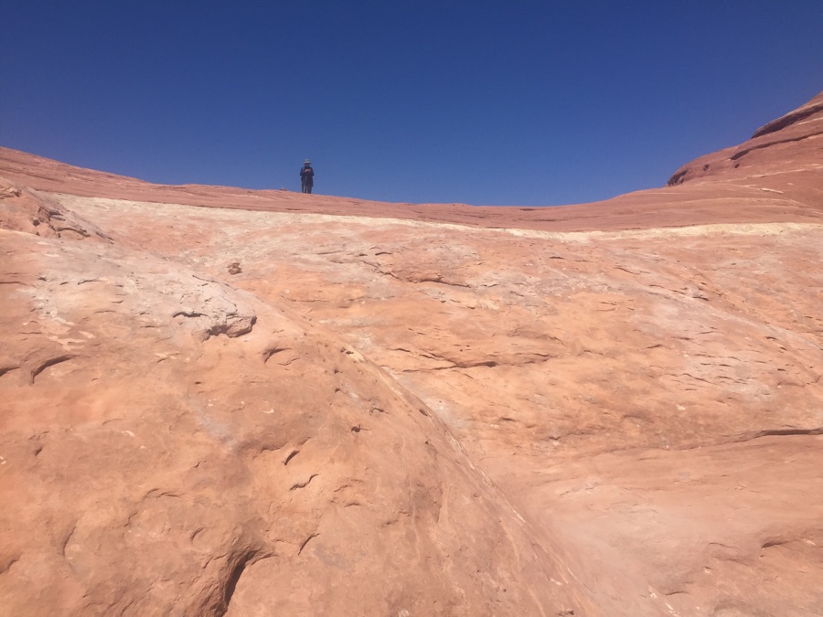 My view catching up to Rose at the crest.
OK one more day to hike. The map shows a loop of two canyons off to the side: Squaw and Lost Canyons. Head off across the grasslands and down Squaw.
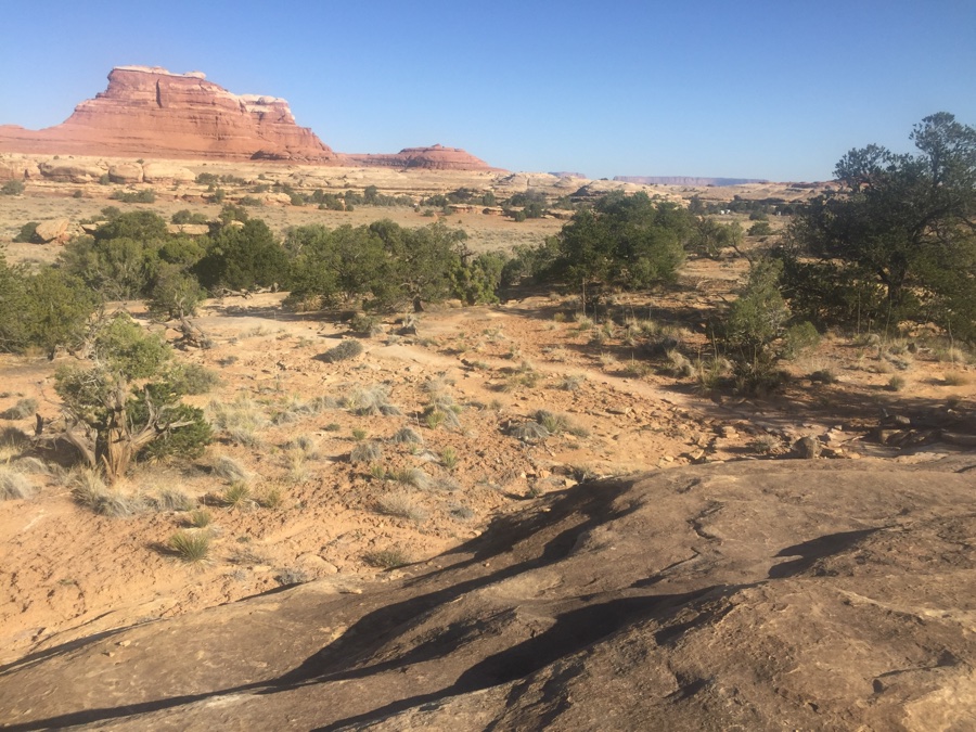
Hiked into and up Squaw till the cairns said to go left and find a way out.
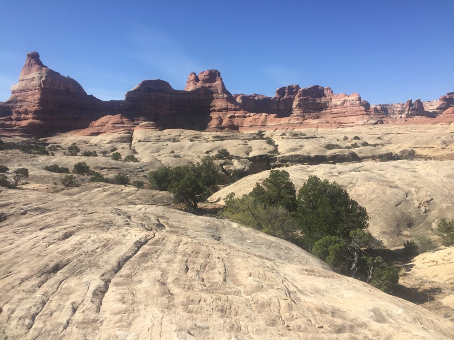
Climbing up onto the ridge between the two which is off to the left.
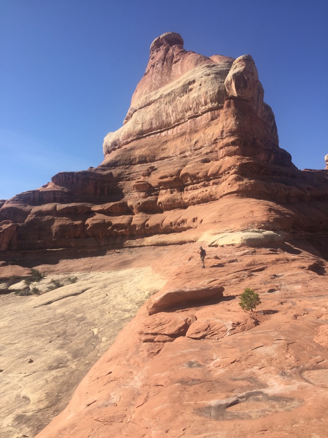 Up on the col between the two.
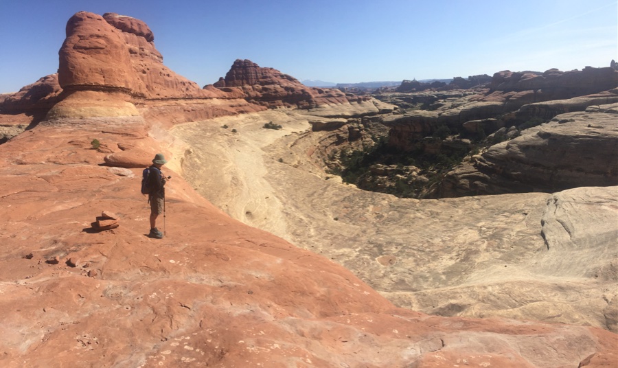 Looking down into Lost Canyon with it’s crisp lip – absolutely stunning.
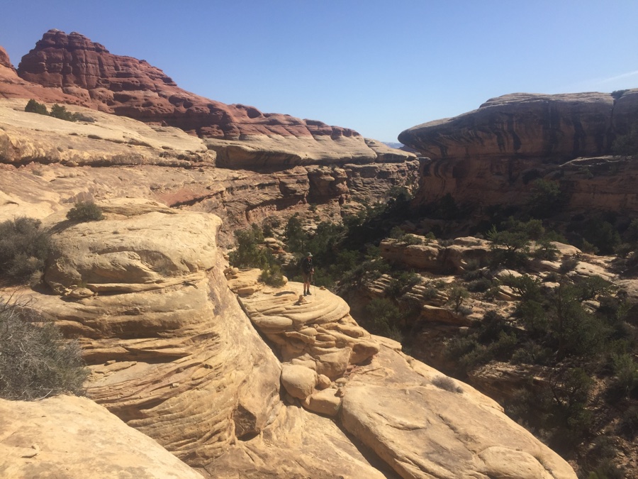 Rose leading the way down, faith in those cairns.
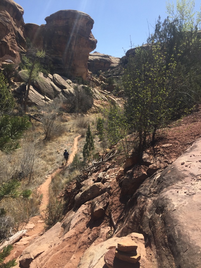 Now we’re in the top twisty Lost Canyon.
Hiking through the canyon was fun in the narrow twisty top end but it slowly opened up and eventually the cairns took us out to the left.
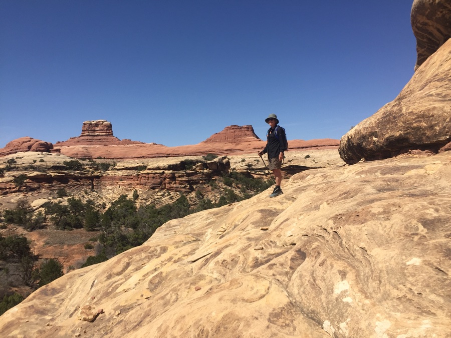 Love the freedom up here.
It’s fascinating to guess where the trail is going to lead us as it gets up onto a bench and then traverses till it finds a way up to the next level.
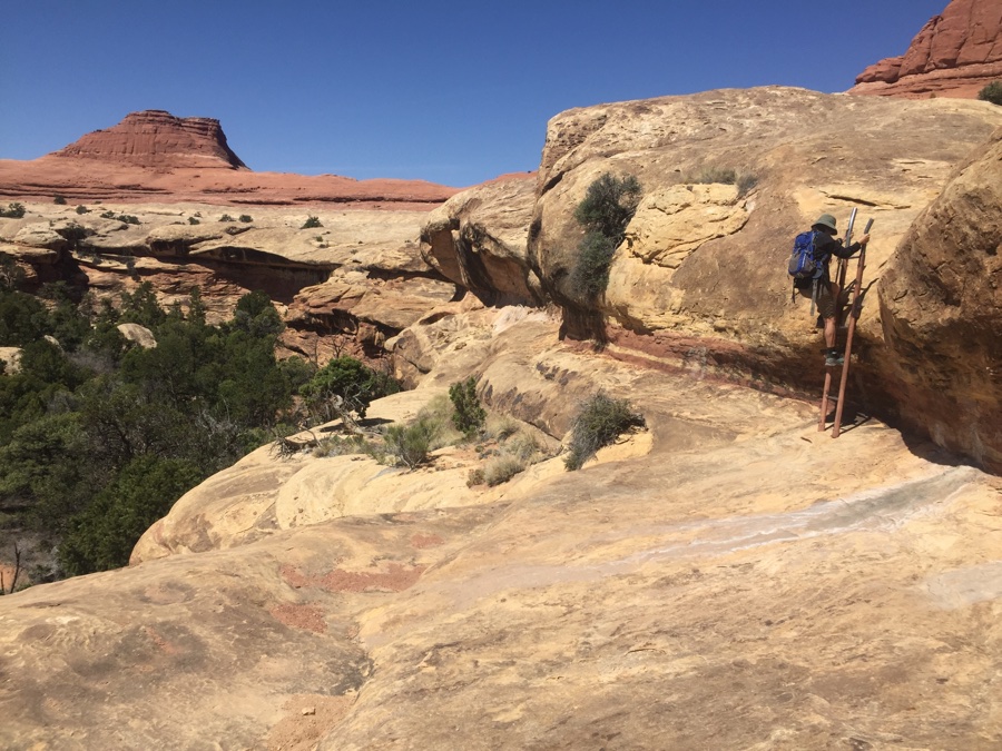 Another bit of crucial aid.
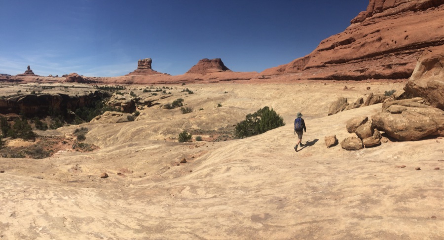 Then it’s like a slick rock freeway to the next bit of adrenaline.
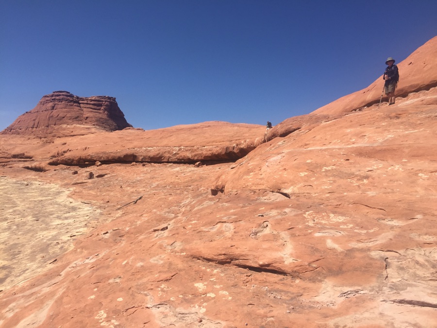 Bit by bit we gain height up to the ridge line.
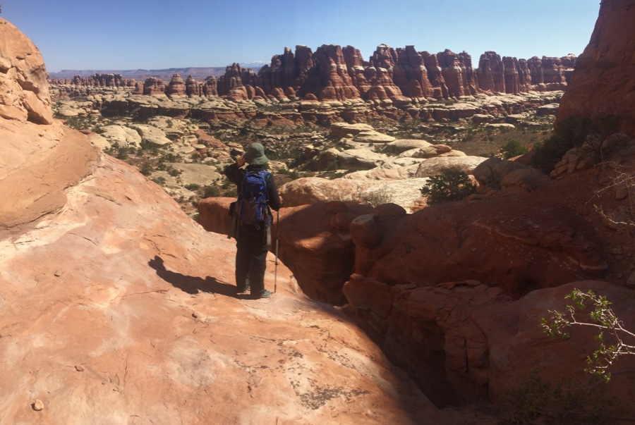
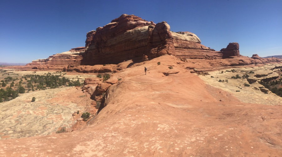 More mind blowing views from the red sticky col.
As you can guess I thoroughly enjoyed the Needles District and will continue talking about it long after you have finished reading.
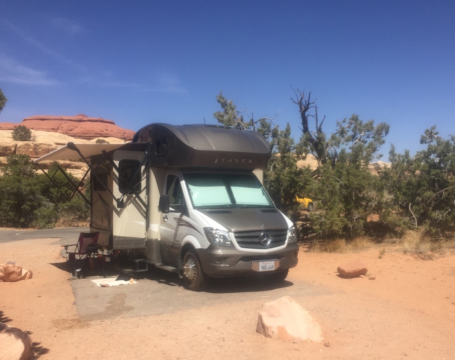 Site #16 – not bad if you happen by.

Looks like they’ve upgraded the ladders as they were made out of small logs since we backpacked that area some 30 years ago. I loved wandering canyon to ridge to canyon, tho Squaw Flats was a bit tedious with heavy packs…
Rained here all day yesterday so the road might be a bit “sticky” in a coupe spots. Windy this morning so it should dry pretty quick…
mark
Water was the issue with the backpackers, some carried all they needed others wanted to know the status of springs. The springs we saw looked pretty iffy.