Got out of Flagstaff after a quick stop at Safeway to buy the stuff it’s difficult to get in Utah, beer and wine for us, and decided to overnight at Camerons Trading Post 40 odd miles to the north. A rather forlorn RV park with muddy when wet and uneven sites. Settled in and went to connect the water which was one of the reasons we stopped here. Faucet wide open & dry. I’m not moving because a broken water spigot so I stretch the hose over to the adjacent site and hook up there. Reminds me of Mexico.
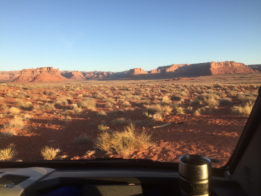
Next morning we dump the tanks, fill with water for 4 days of camping and head for Goosenecks.
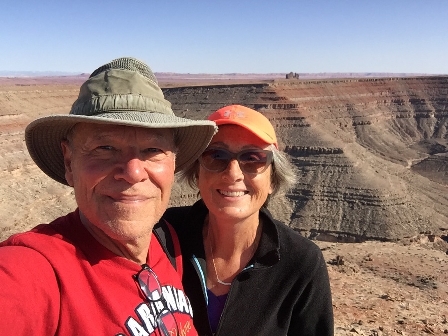
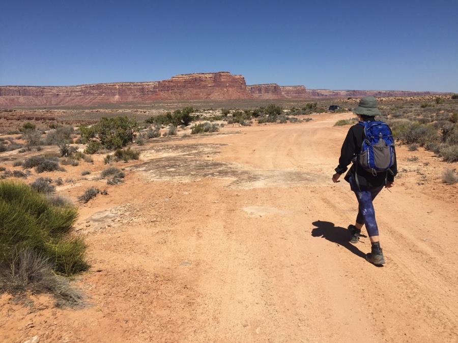
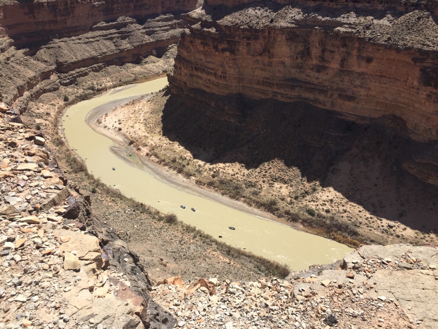
Goosenecks State Park is fun. You get to park on the edge of the San Juan river and gaze down to it 1200’ below. Having said that there is not much else you can do here. A short walk along the dirt road is it. However, there is a trail named Honaker after it’s builder in the 1890’s. The map shows it “over there” with road access from 163 but that entails 3 miles back on the paved road and another 3 to 4 miles to the trailhead over dirt. We only have the RV so I look more closely at the map. 3 miles as the crow flies with some trail in the beginning and a bit of road at the end. What the hell, lets give it a try.
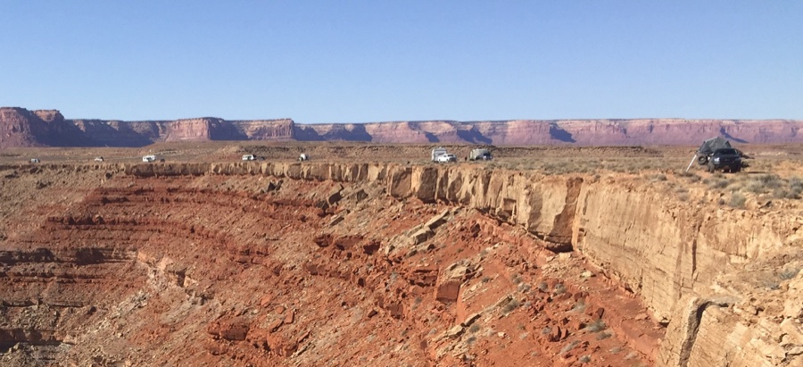
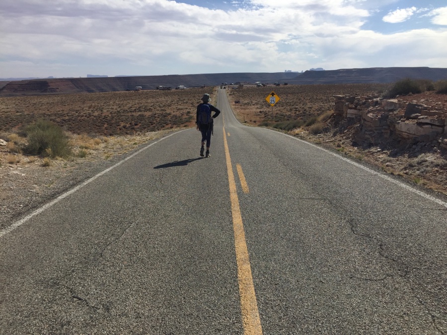
Overnight temps dip to freezing and that makes for a late start, 11:30am. Hike back on the road a bit, then a short dirt road to a cattle water tanker and now we’re on what I call a cattle path with footprints. Unfortunately the footprints disappear and the path diffuses into a myriad of minors. Haul out the GPS and do some navigation. Dead reconning to the TH says 330 degrees but when I look in that direction all I see is a hill I do not wish climb without a trail. Seat of the pants says follow the rim but that is too far to the left. Split the difference and head off somewhere inbetween along a non existent path of least resistance.
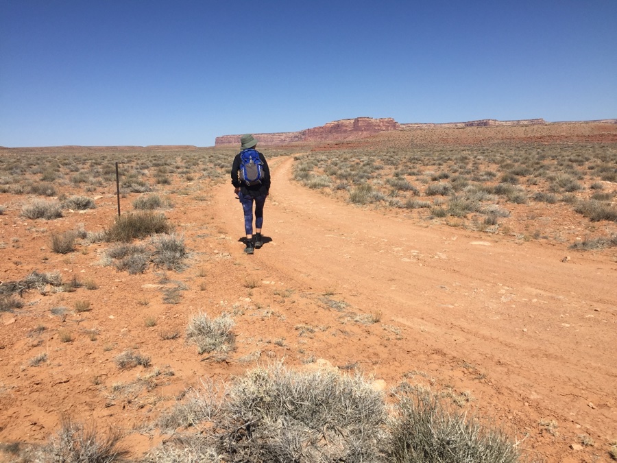

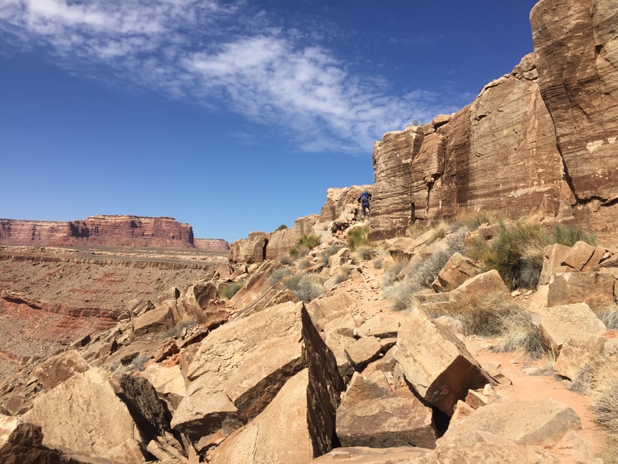
It’s difficult when you know your destination is to the right but the immediate terrain pushes you left. Distances are not that great and we soon spot a jeep track which we intersect with and get that comfy feeling that we are on the right track. See a lone car parked off to the side, trailhead?, but the map says further on which is wrong and after scouting around a bit we go back to the car and Rose finds a trail heading towards the edge. A two foot high marker shows where the trails starts and drops through the first layer of rock.
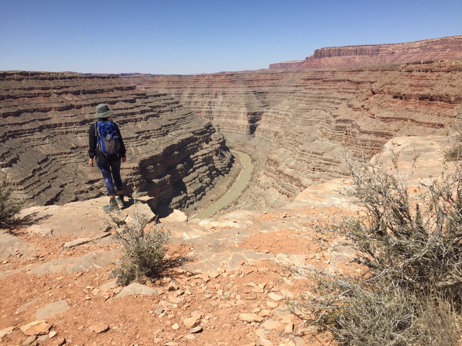
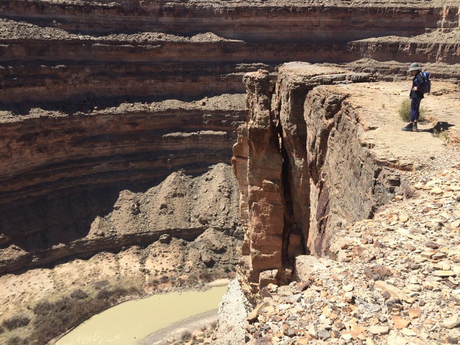
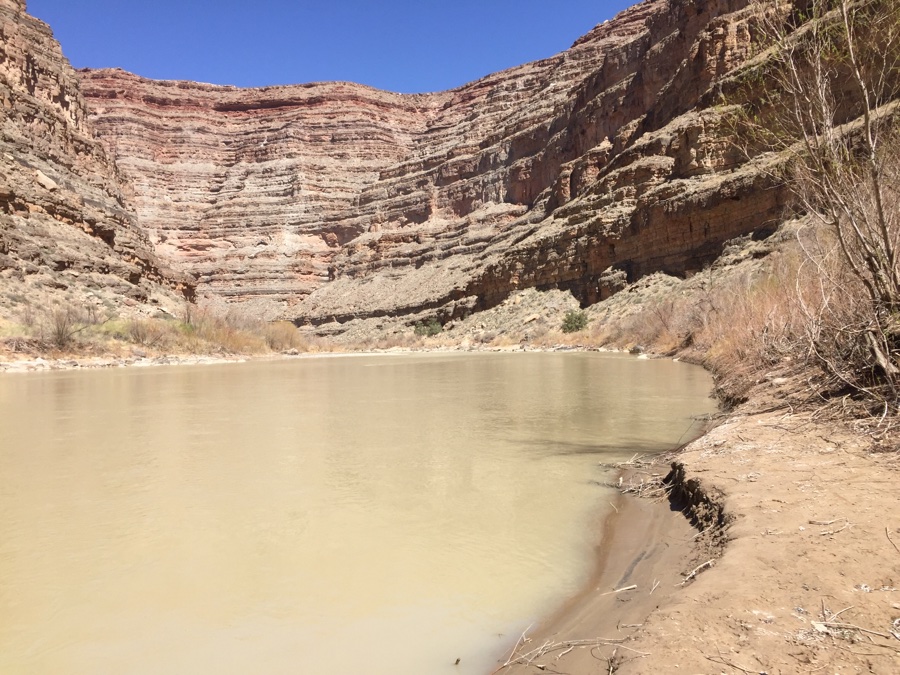
Now I pause. It’s 1 pm and the river is 1200’ below. In addition I know that the trail does looong switchbacks as it looks for breaks in the rock strata. An hour down, more up and then reverse our non-existent trail back to camp. Luckily sunset is after 7pm so we start down knowing full well that we WILL get to the bottom & back without incident.
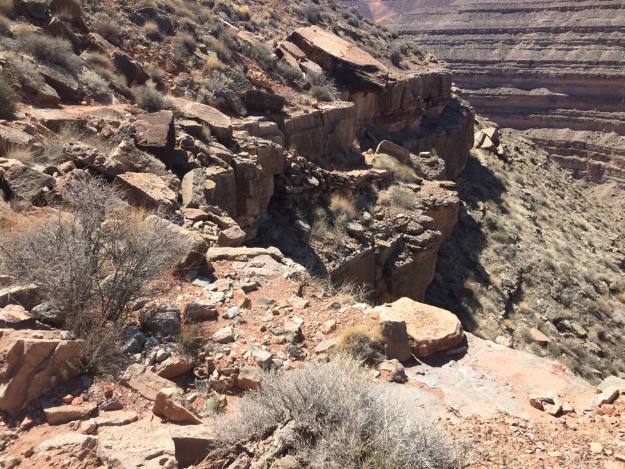
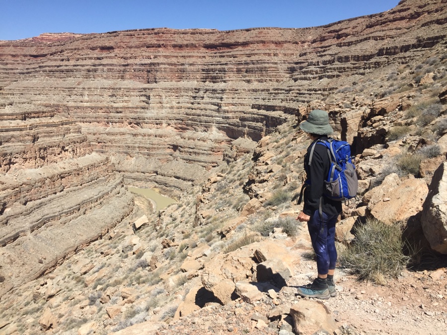
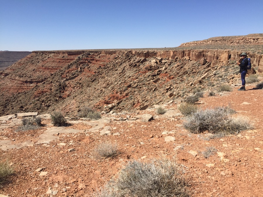
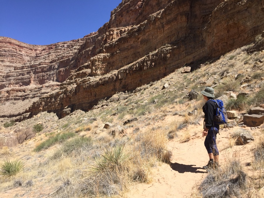
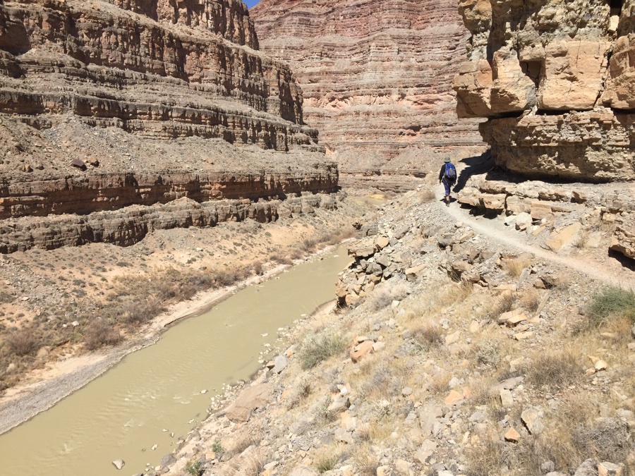
The trail is narrow & rocky with maintenance last seen in 1890. Careful footing is required to avoid catching a boot on a rock and tripping. You can see that the geology is numerous layers of rock bands and sloping dirt in between. Mr Honaker must have spent days scouting along each layer, each time looking for a break down to the next level. The book says the trail is 2.5 miles and we get down to the water in a hour, not bad. Time for a quick look around, a banana and an apple, then it’s omkeer and start the climb out. Definitely slower going but a steady pace puts us back at the two foot high marker at 3:30pm. Some more sustenance and we head back in an hour being able to avoid some of the wrong decisions coming in.
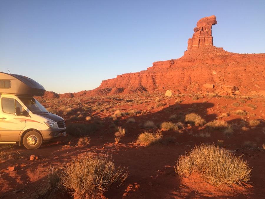
We get great satisfaction as we dine on meat, potatoes & squash and sleep well on the edge of the San Juan.
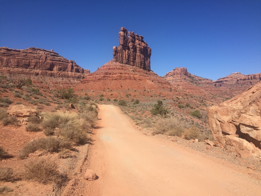
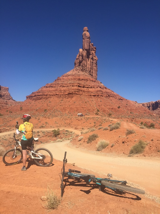
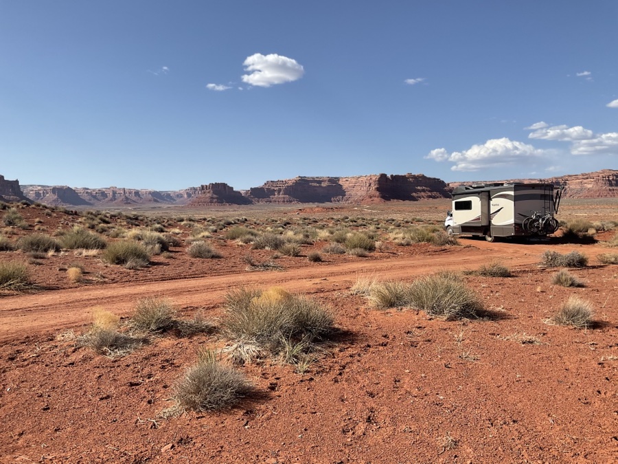
Two days is it and we hop around the corner to Valley of the Gods. A place you should visit but does not require frequency. I do it because I feel like a dog out for a walk sniffing old haunts and leaving my scent. Most of the views and sites are off the east entrance and we crawl in over the dirt road trying to gauge how full the place is. Busy, and once past Sitting Hen Butte we get serious about “how about this one?” or “this one?”. A lot of sites are right on the road which makes for noise and dust from the road. We pull over and spy a van on a large space that looks good. Are they camped or passing through? Beyond them on a ridge is a trailer and pickup camper. We kill time and the all of a sudden there is activity at the trailer – they’re moving! We fire up and go over to see what’s there. One spot where you can pull off the little secondary road and we’re in for two nights.
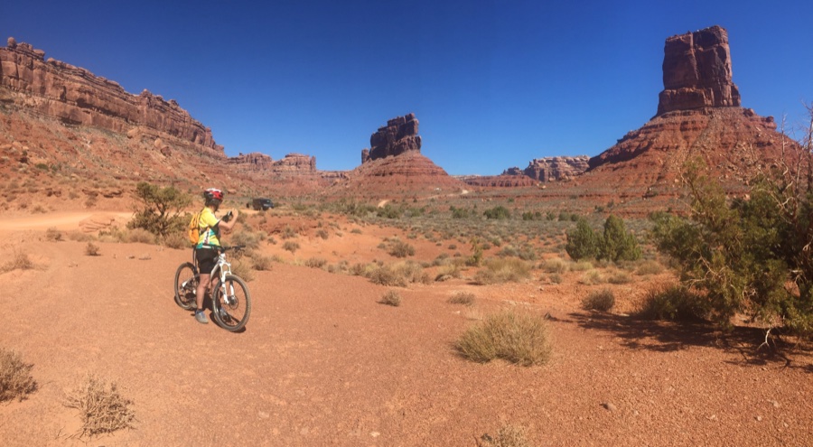
Now to find Combs Ridge.