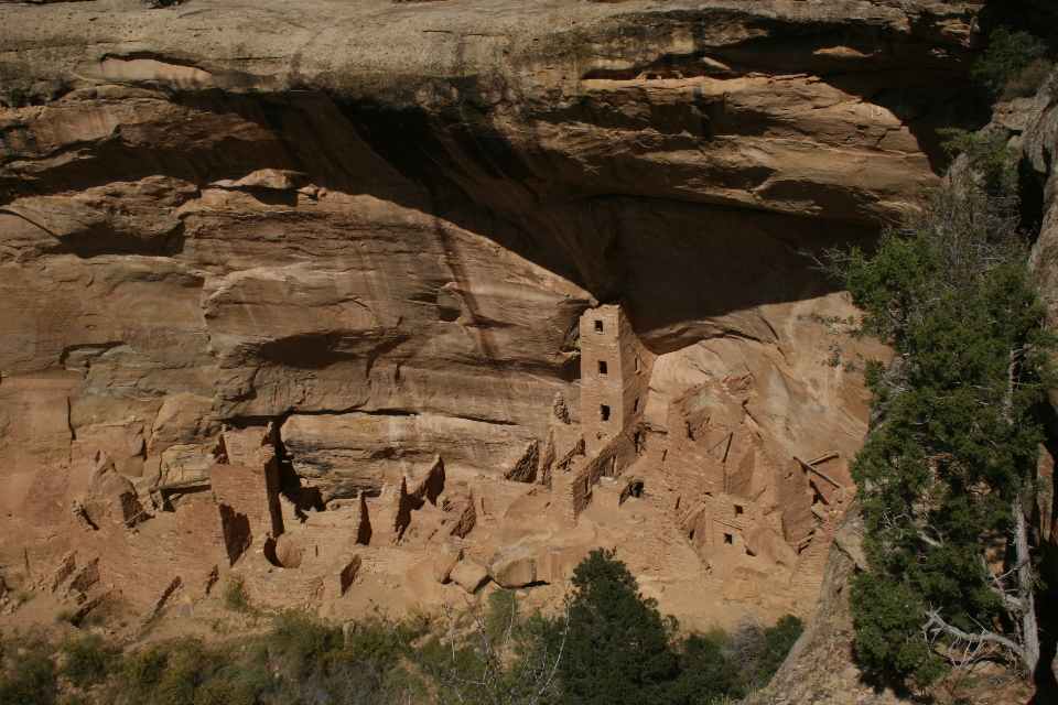
I have often seen photo’s of these cliff dwellers houses nestled into the cliffs and wondered why would they build these doll like houses? Mesa Verde National Park was en route so we stopped by and took advantage of my geezers 50% discount at the Morefield campground. The park is large with 20+ mile drives between viewable cliff houses, one being on Chapin Mesa and the other on Wethwerill Mesa and best done over two days. There is a new modern visitor center at the park entrance and we made a good decision to sign up for two guided tours at $4 each.
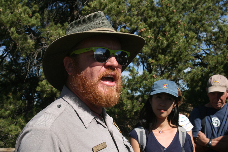
First day was great weather and we were on the 11am tour of Balcony House and lucked out with our guide named Lindsey. He was a geologist, now a park ranger and liked to talk, which was a good thing.
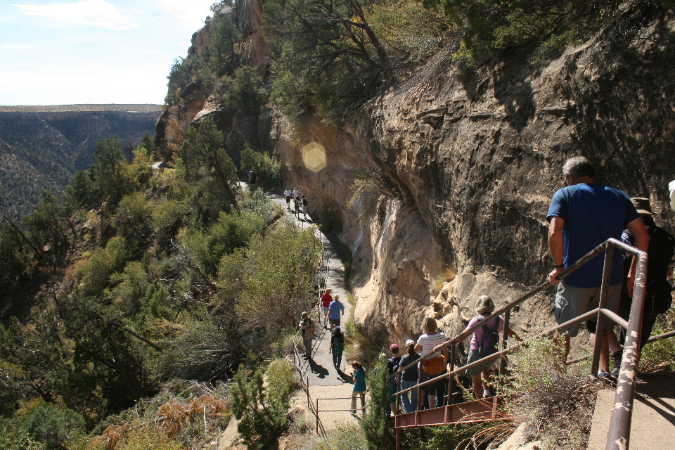
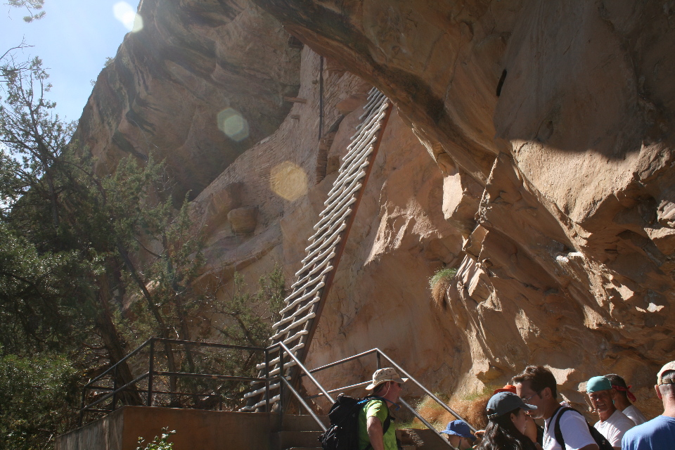
OK, why these cliff houses? Lindsey gave one theory of the Ancestral Pueblo people who lived here from AD 550 to around 1300. Most of that time they built Pit houses up on the flat tops of the mesa where they farmed beans, corn & squash. Then around 1150 their numbers had grown and with it some sort of violence on each other while competing for resources. So they built “gated communities”, under the cliffs with restricted entrances as we shall see. While we’re at it, they apparently all migrated, within a generation, down to the more fertile climates of New Mexico & Arizona because of an extended drought up on the mesa’s.
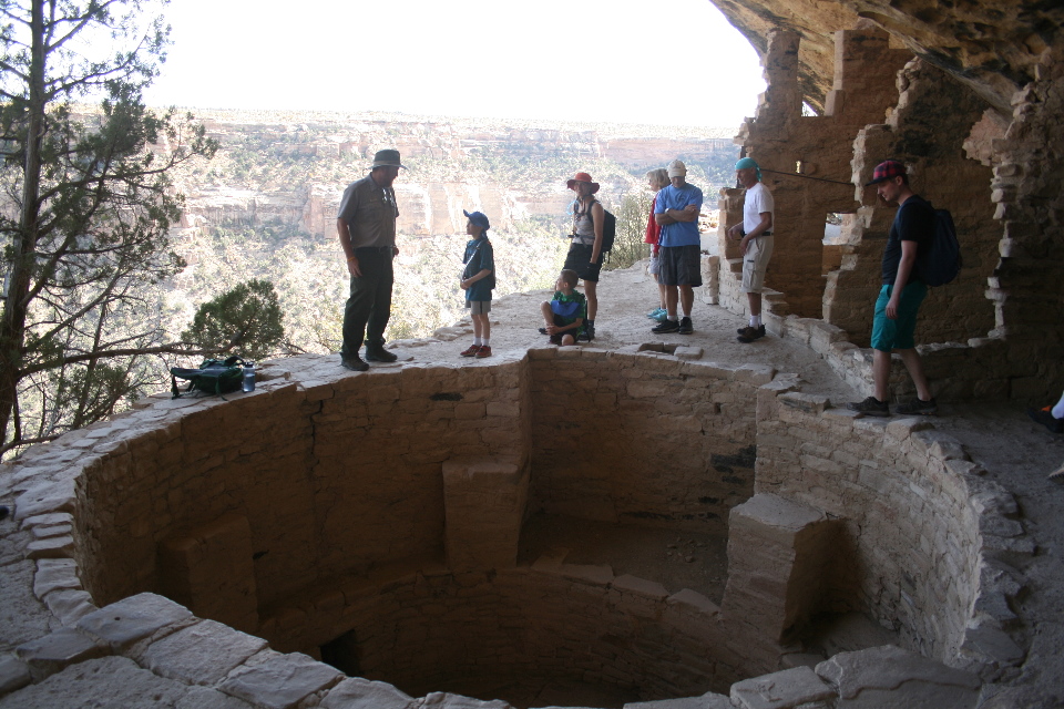
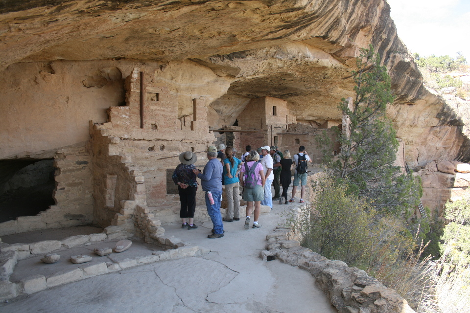
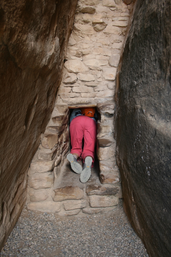
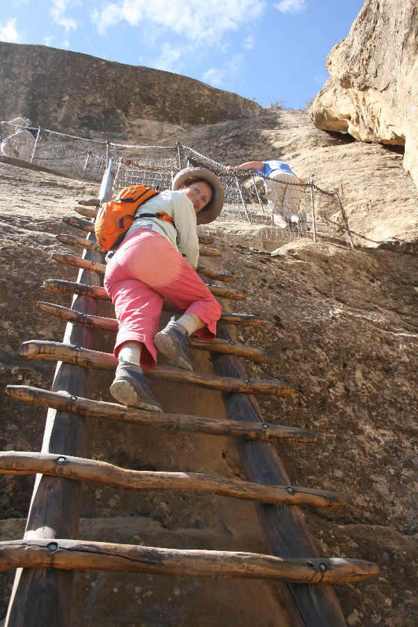
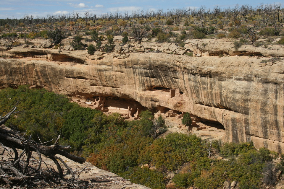
Self guided viewing is often from the far side of a cliff where you can view into their structures.
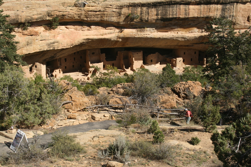
The second day was overcast and drizzly but we donned our anoraks and set off for our two hour tour which required a bit of a walk to get to.
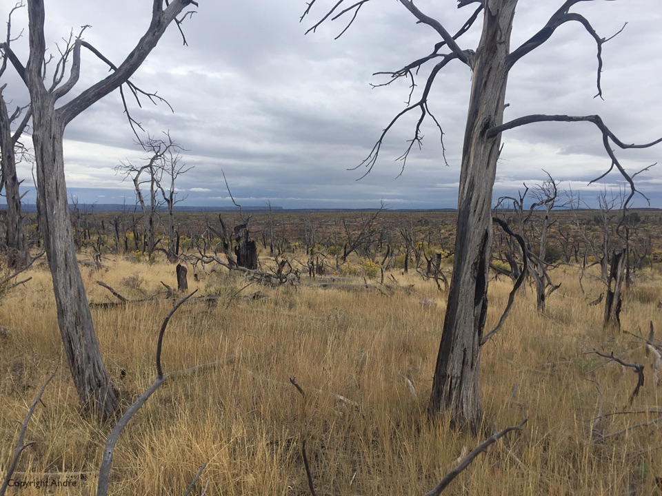


After Mesa Verde we headed north west into Utah and up UT 95 past Natural Bridges National Park. Their website said 13 campsites but we drove up the 4 mile access road anyway. Of course they were all full up and the young kid ranger told us of Mile 87 back on UT 95, said it way part of an abandoned runway, but looked more like a piece of unused road right next to the highway. Didn’t matter, and I thought I was smart picking what looked like a nice backin site for privacy.
Settled in as the clouds got darker and the next thing we were dead center of a horrendous hailstorm. The rain and hail pelted down and I watched the puddle of water around us grow into a mini-lake by the time it subsided.


Does not look like much but I was not going to let standing water hang around for too long. Out with the shovel and I soon had a drainage channel running off the back of our site, reminded me of my childhood building sand dams in little streams.

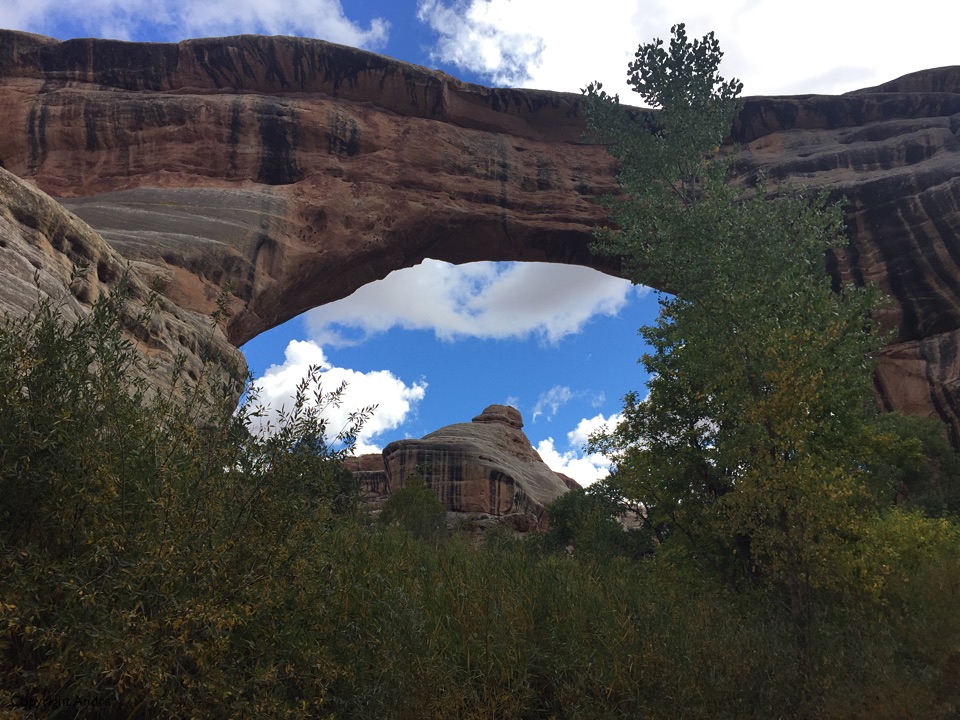
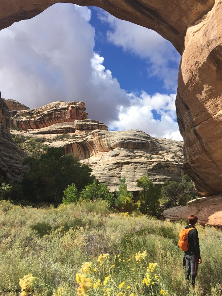
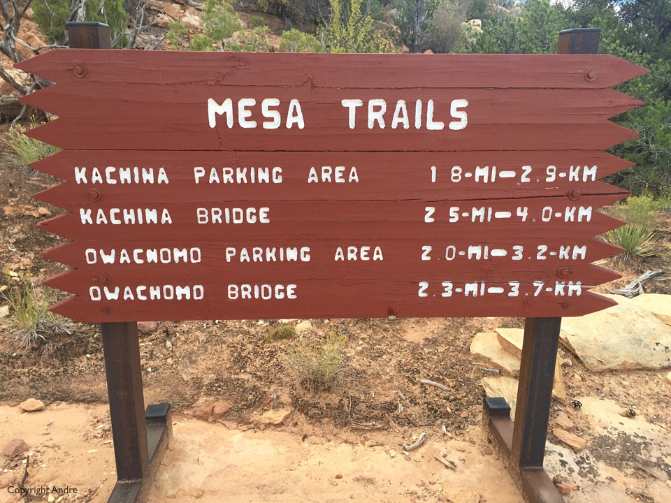
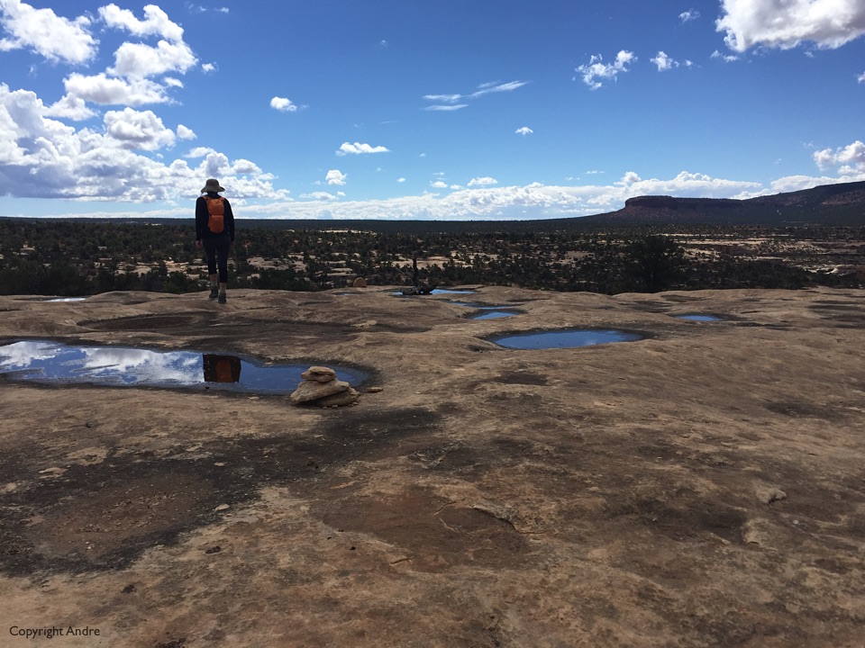
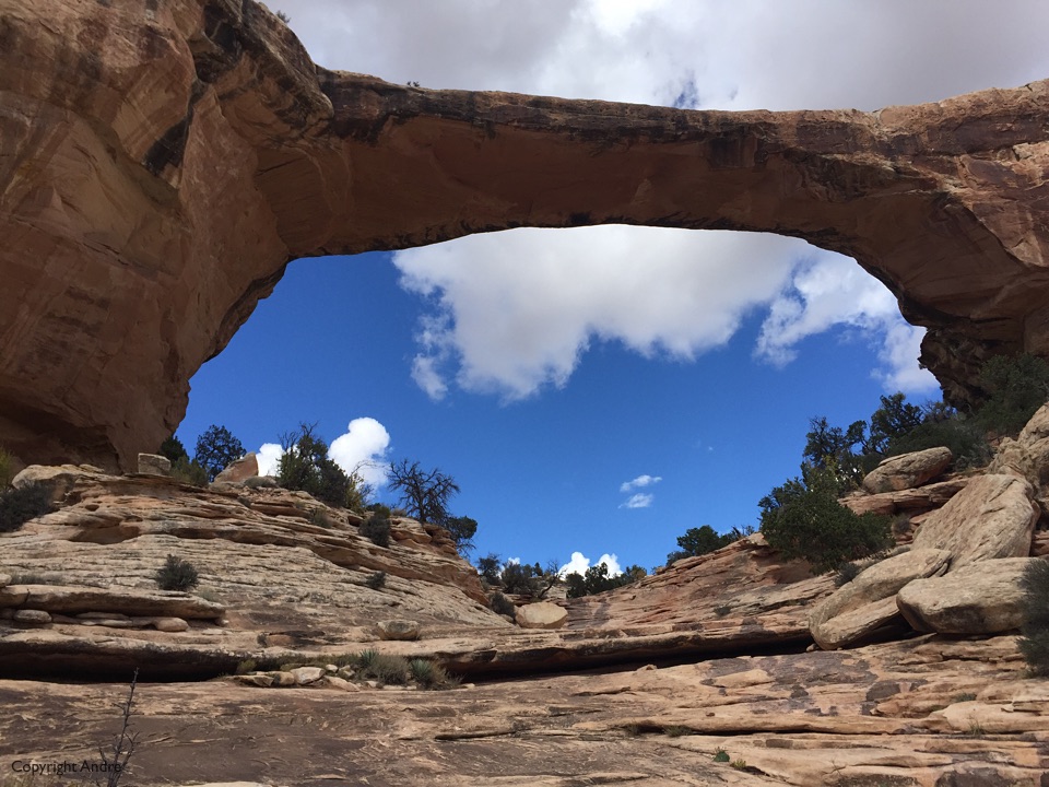
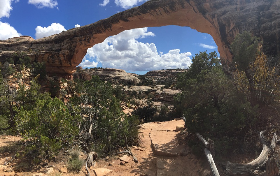
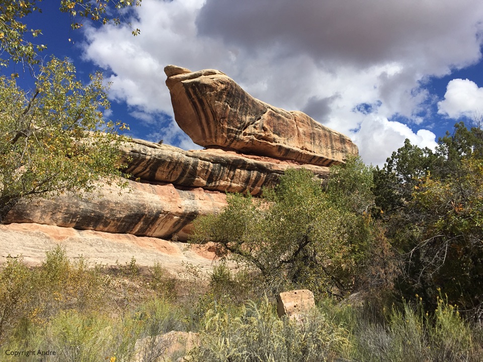
Natural Bridges are out of sight. You’re driving through normal, fascinating landscape and then all of a sudden there is this canyon out of nowhere, in this case the White and Armstrong Canyons. Inside them are three bridges or arches named: Sipapu, Kachina & Owachomo. The road runs alongside up above the canyon but there are trails above the rim and down along the riverbed.


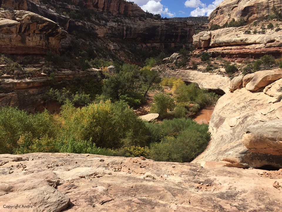
The first bridge is Sipapu which was crowded so we leapfrogged over to Kachina in the middle and started walking from there. It’s lovely to meander along the canyon waterway, but the rains made it muddy and route finding challenging in parts. Did not get lost but slowed by numerous; Is it that way or this way?



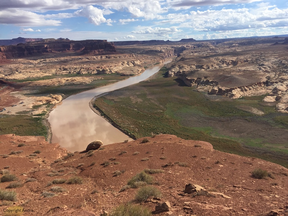
Next day we drove up UT 95 and crossed the mighty Colorado carrying water southwards. There is very little tourist info or pull-overs as you cross the river but later on on the northern side there is a spectacular overlook that allows us to look back on the river and gorge it has weathered away.

Wow,
It looks like you two are having a great time.