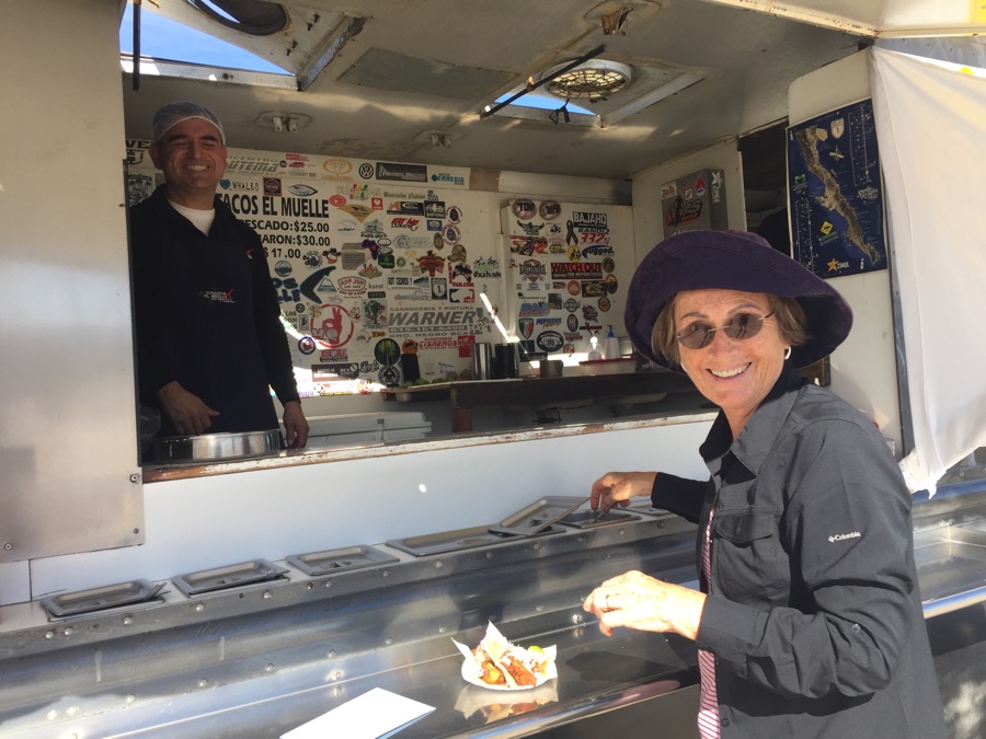
Driving east of San Diego on Hwy 64 we wound our way up through the mountains to the small state park at Potrero and joined out 8 rig caravan. One wagon master and seven wagonlett’s. We were due to cross into Baja on the Wednesday and on the day beforehand Lorne took us across the border to get our Tourist cards and for us, a bank ATM to withdraw Pesos, our preferred way of getting local currency.
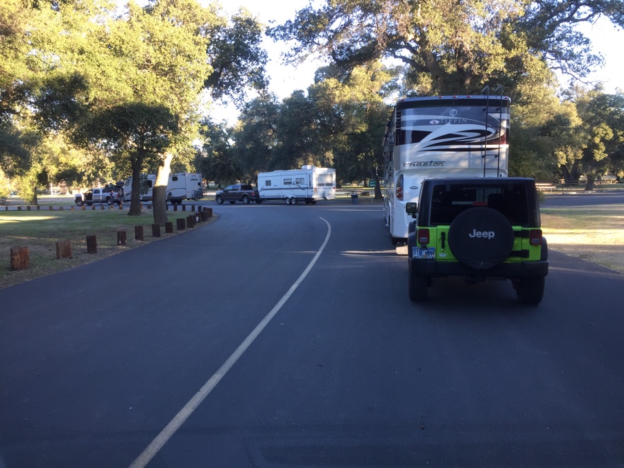
We are given numbers, 1 to 7, and radios to communicate with before lining up in order and headed for the Tecate border crossing. Tecate is relatively high and we drop down through the hills into the vineyards of Valle De Guadalupe. Today’s goal is to drive down Mex 3, navigate the messy sprawl of Ensenada and do a grocery stop at Costco/Soriana conveniently co-located to each other. We chose the well stocked Soriana grocery store and picked up some fresh veg, hot bread rolls and those pesky items we had forgotten at home.
Driving through towns is slow and tedious. The benefit of an organized caravan is that the route is planned for you and Lorne & Josie as our wagon masters tell us everything to expect on the road ahead. The downside is trying to get 8 rigs through a left turn back onto the busy highway can take time as two or three get though each light and the rest must wait and not get too far ahead lest we get separated and have even more chaos.
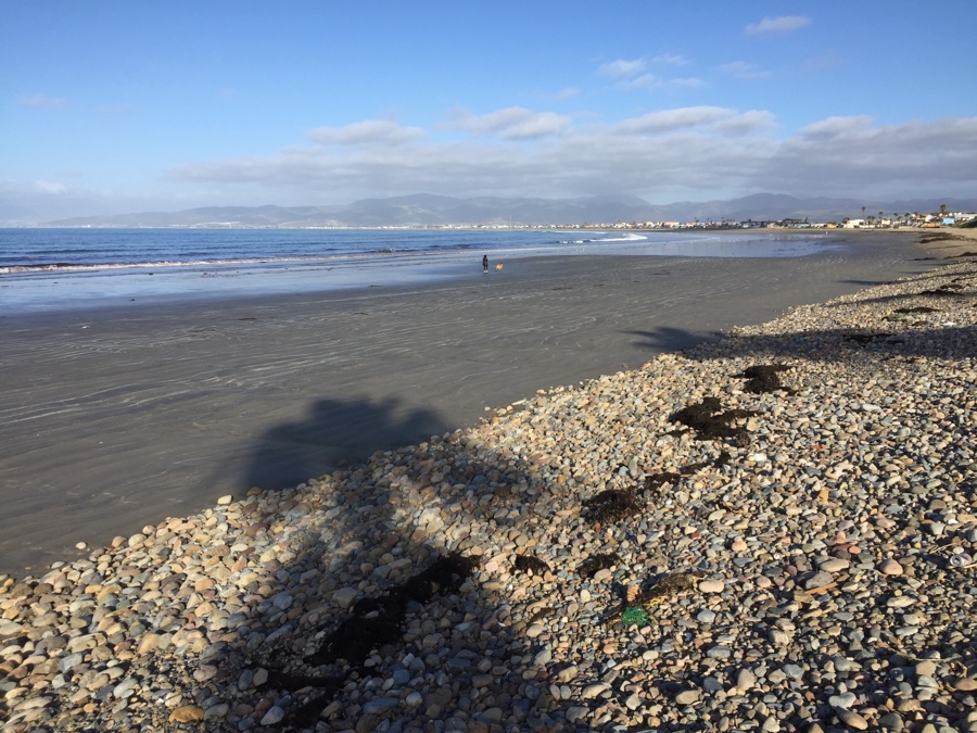
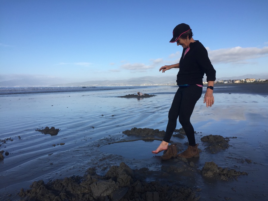
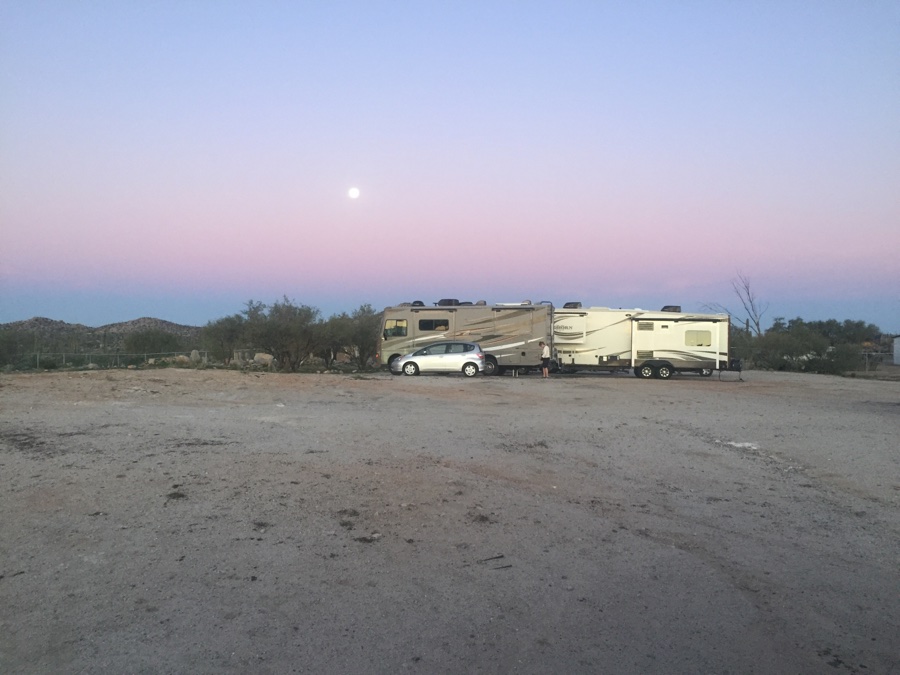
Our stop for the night is Villarino RV park off Mex 1 on the La Bufadora road. Nicely situated on the beach, we being the smallest rig at 26′, can usually pick some spot the big guys can’t get into. We have 30 minutes before a trip out to La Bufadora itself and it happens to also be low tide. I’m told there is a spring of hot water along the beach and set out in search. Of course I go to the left instead of right and upon asking for “agua caliete” get pointed in the opposite direction. Sure enough, accessible only at low tide, you can dig a hole in the sand and it will fill with hot hot water.
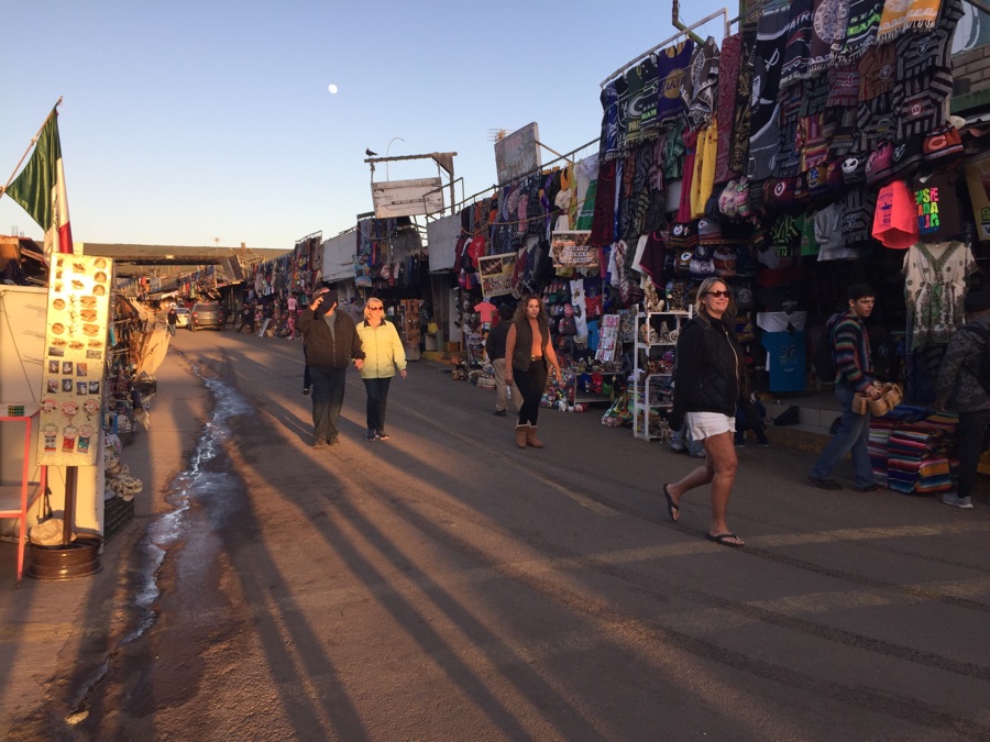
The La Bufadora blow hole itself is not performing so we settle for dinner instead.
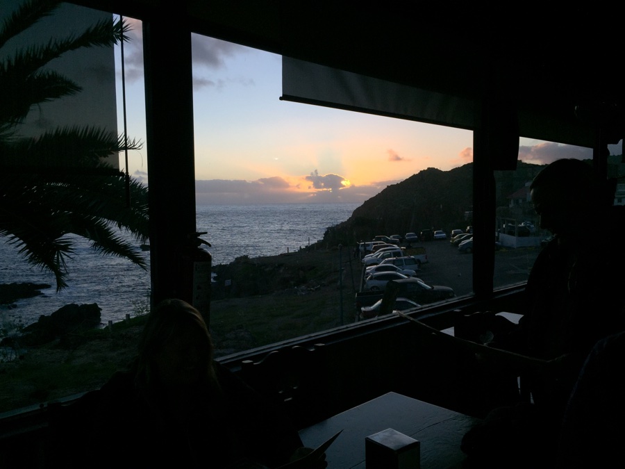
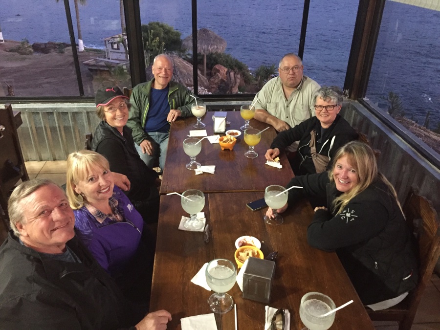
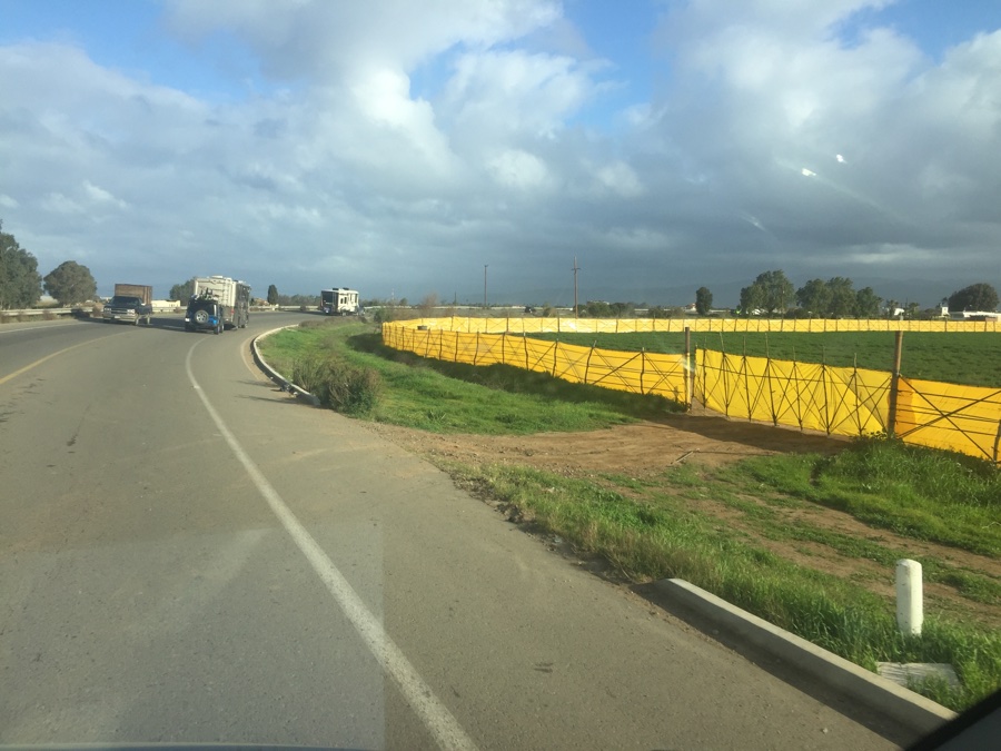
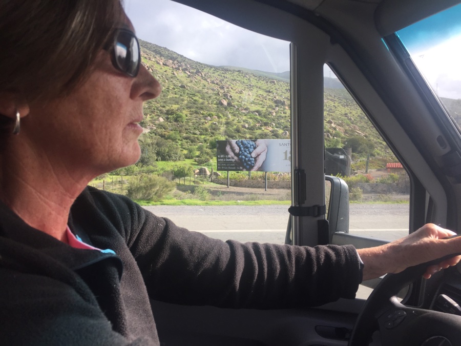
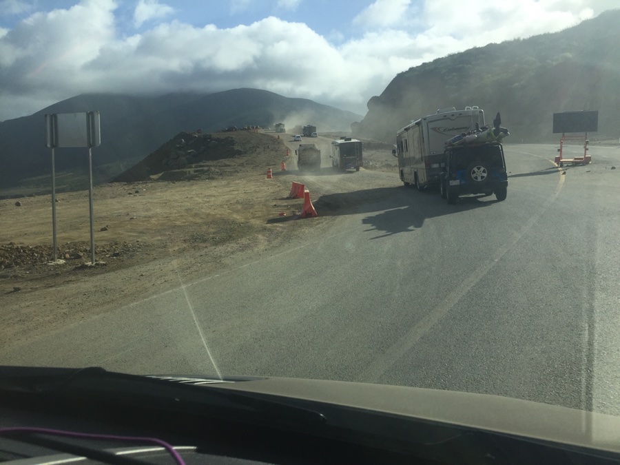
8 am departure and we head further down passing the Santa Tomas vineyards. The road climbs up into the mountains and over a summit where we come upon our first construction detour. A 20 minute wait, then a dirt detour with RV’s slow on the right and the locals scooting by on the left.
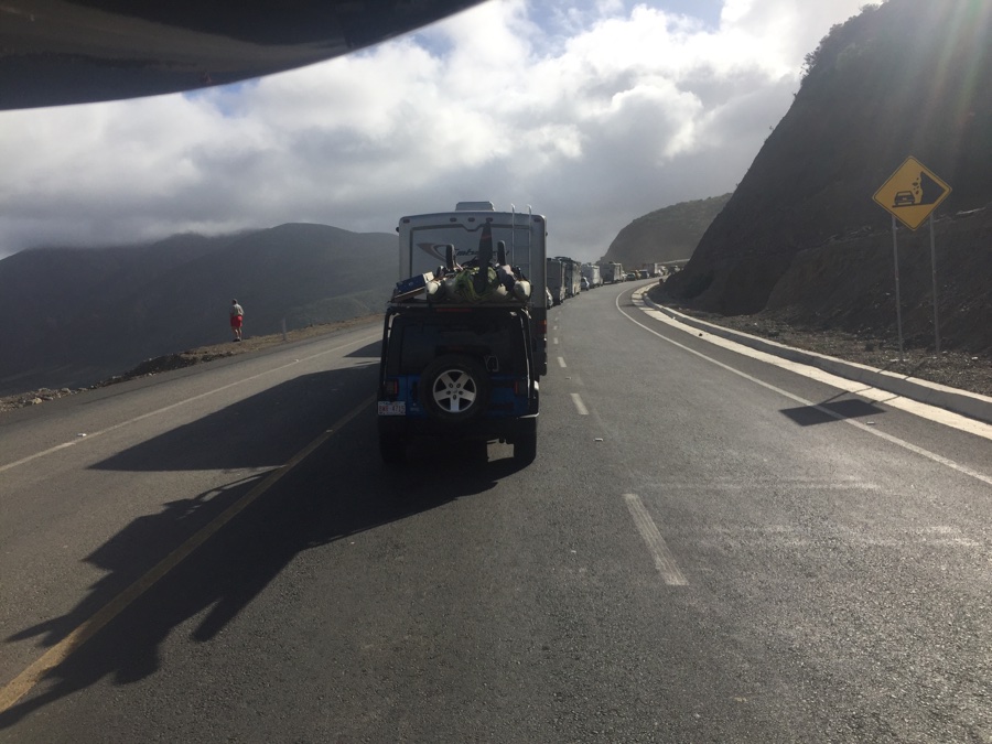
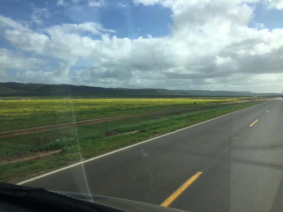
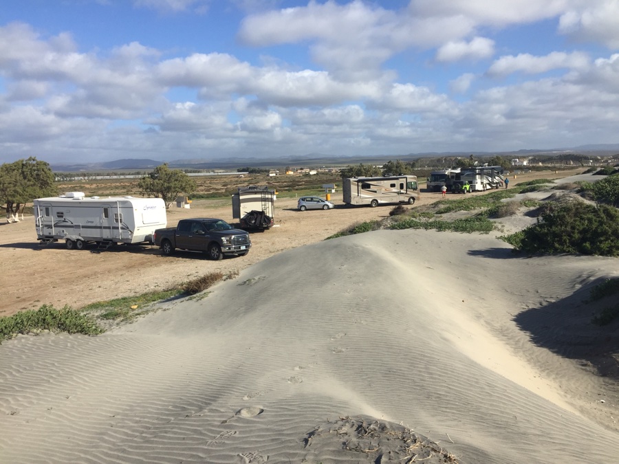
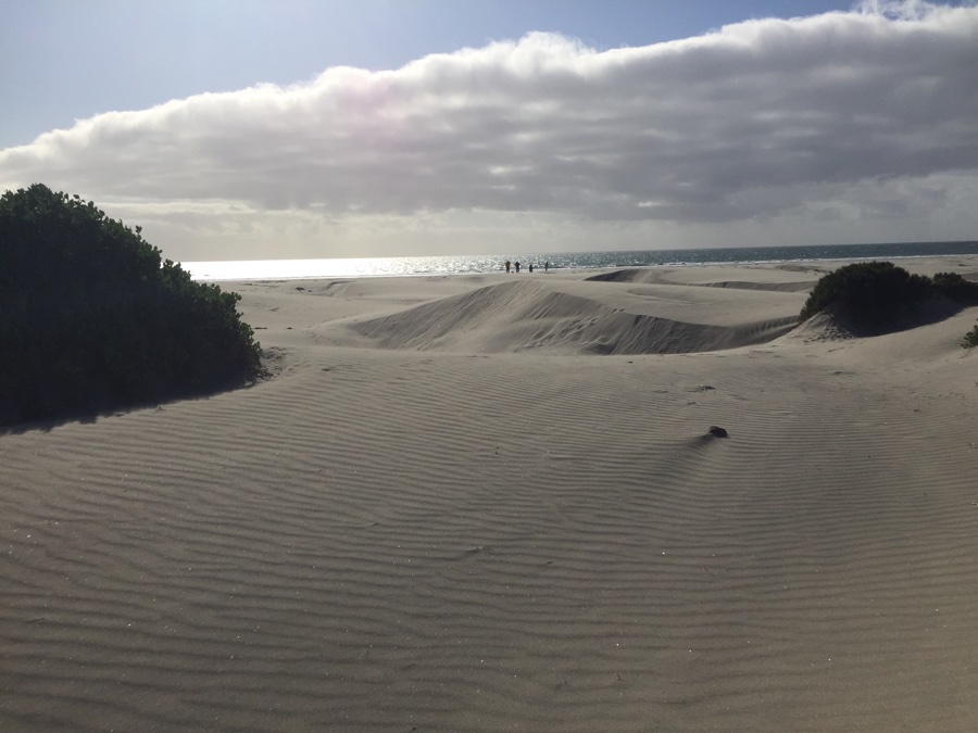
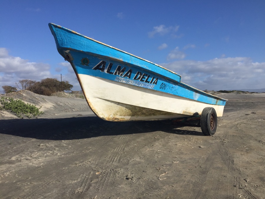
We pass San Quintin and branch off to our beach campground which is not quite on the beach as we have sand dunes between us and the water but the hard packed beach must run for miles in either direction.
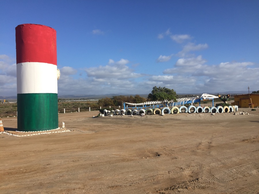
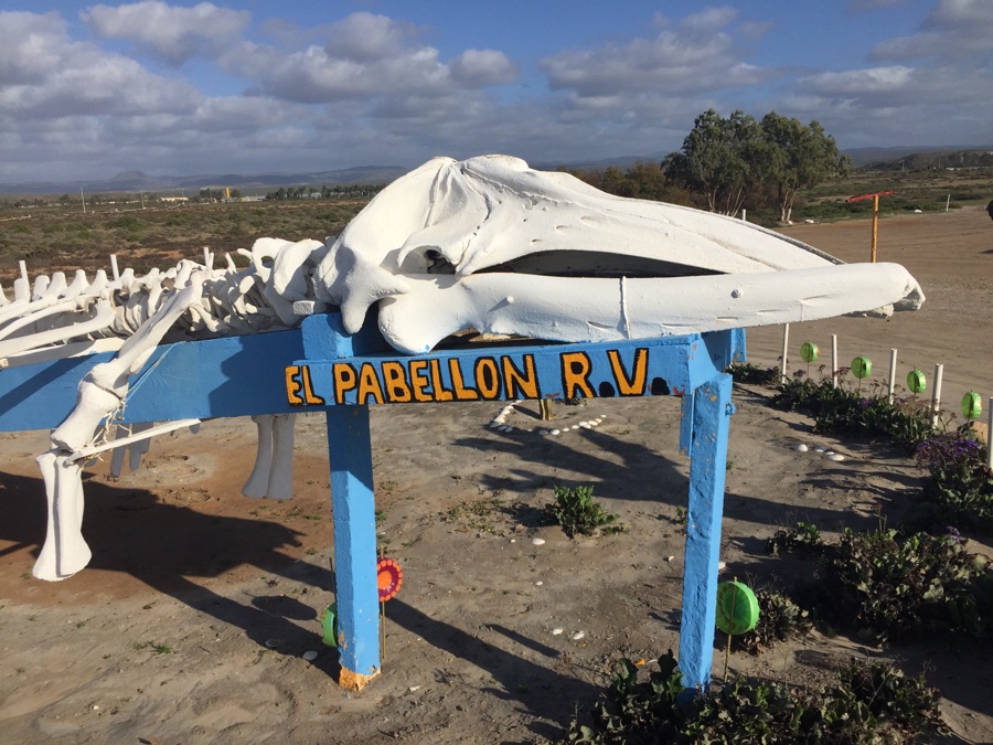
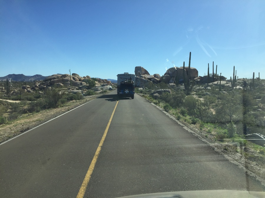
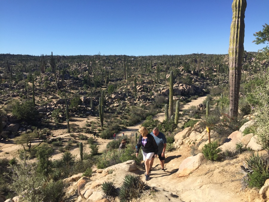
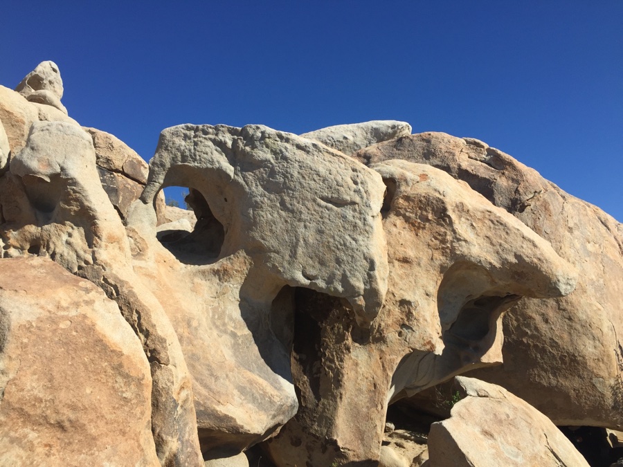
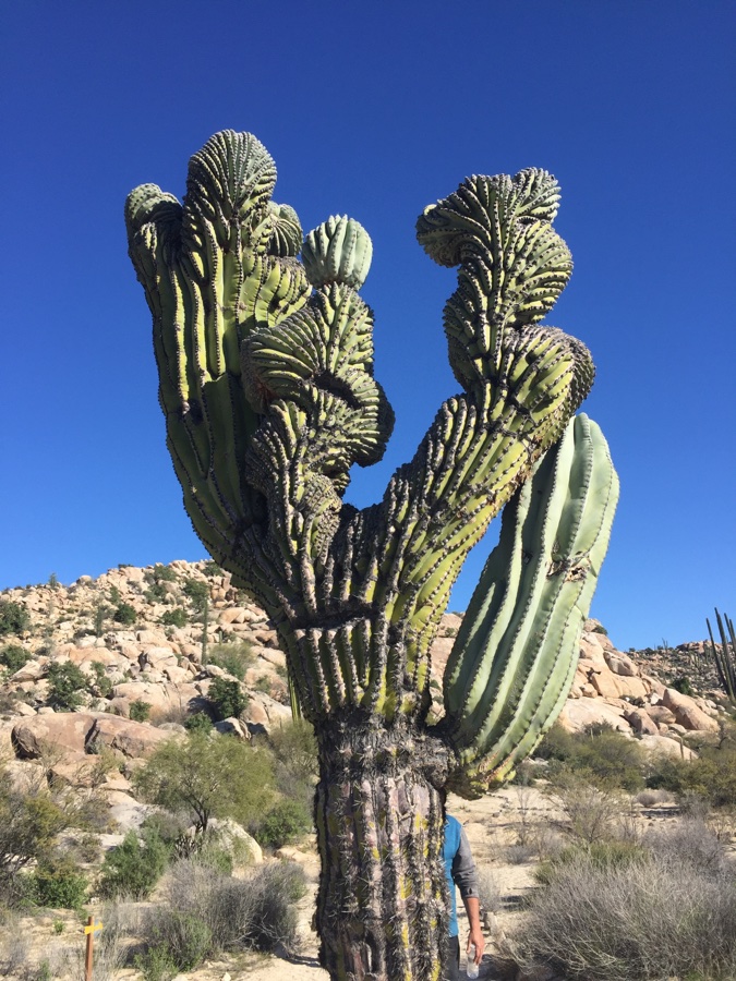
We are now in a mountainous protected area called “Valle de los Ciros” and the area around Catavina, our next stop, is full of scenic large boulders. We go on a short hike to some rock paintings which being close to the ground in a small cave seem to be surrounded by what looks like graffiti and I’m dissuaded from taking any photo’s.
The terrain flattens out as we approach Guerrero Negro on the Pacific and we park in a tight RV park behind a hotel. Guerrero Negro is known for three things: 1) The largest salt works mine in the world where it takes around two years to flood ponds with high saline water till harvesting the salt for commercial uses such as deicing roads. 2) A large population of Osprey that can be seen along the road as they nest on or near power line poles, and 3) Grey whales come here to mate and calf in the winter months which is why we’re here.
