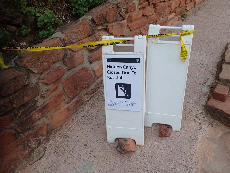
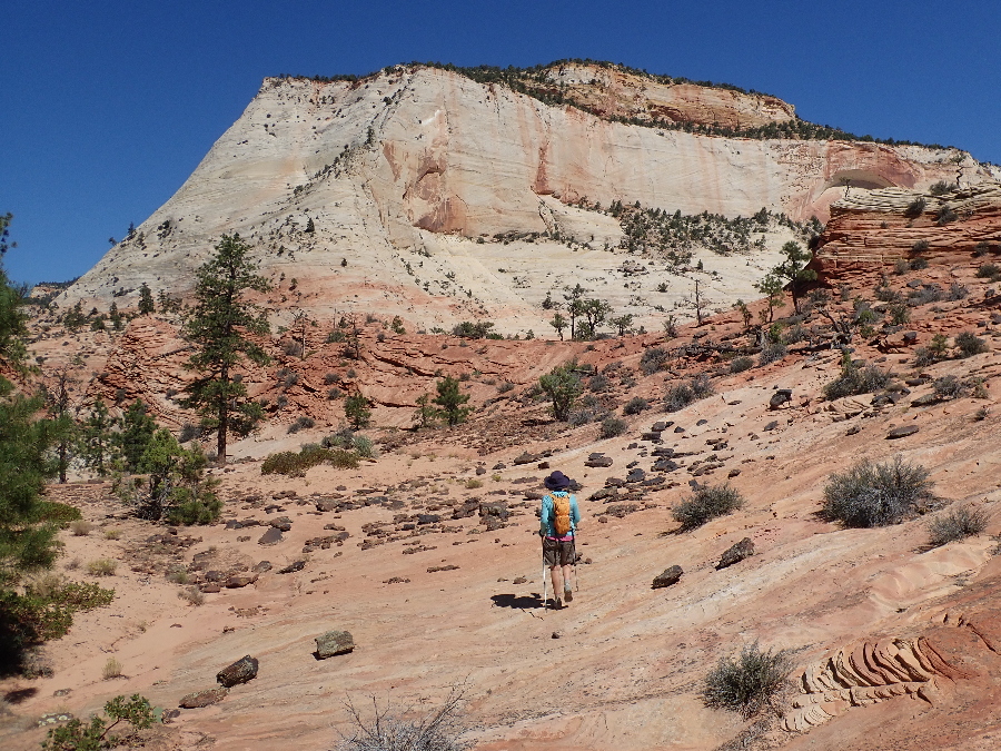
We were going to be in Zion at the end of September and as it was still going to be hot I had booked a site in Watchman Campground where we could run our AC for our stay. Another reason was that I wanted to go down Orderville Canyon but more about that in a moment. Our first hike was to be up West Rim and it was just as well that I went into the backcountry office to find out about Orderville permits because they told me the West Rim and Angeles Landing trailhead was closed because of a rockfall in Refrigerator Canyon. Oh shit, that means twice the hikers on the east side but that is where we went anyway.
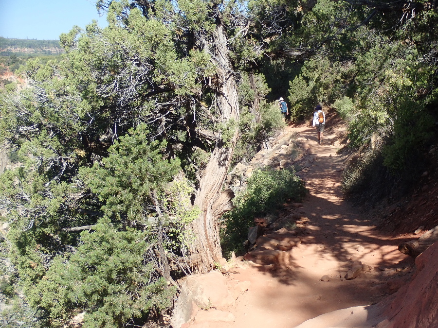
The benefit of being inside the park is that you walk to shuttles and don’t have to worry about cars or parking. Got going early without breaking too much of a sweat but even then there was a line for the shuttle and it took us nearly an hour to get to our Weeping Rock Trailhead.
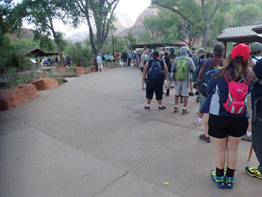
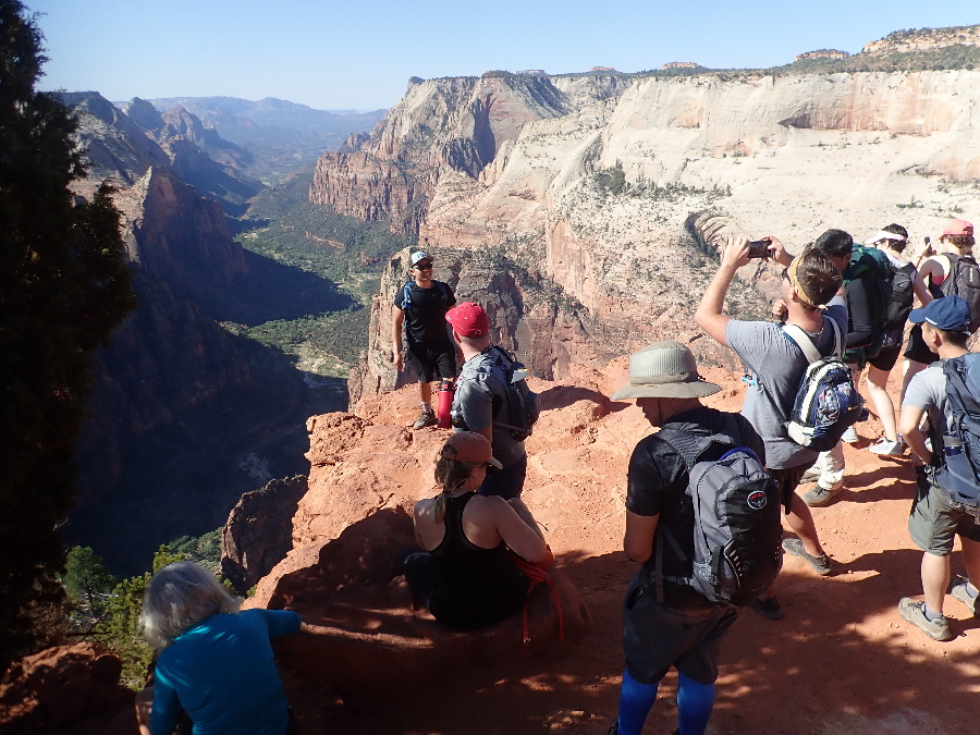
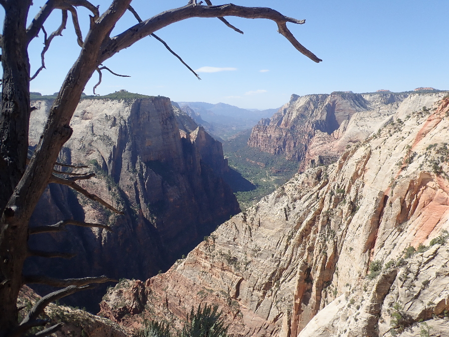
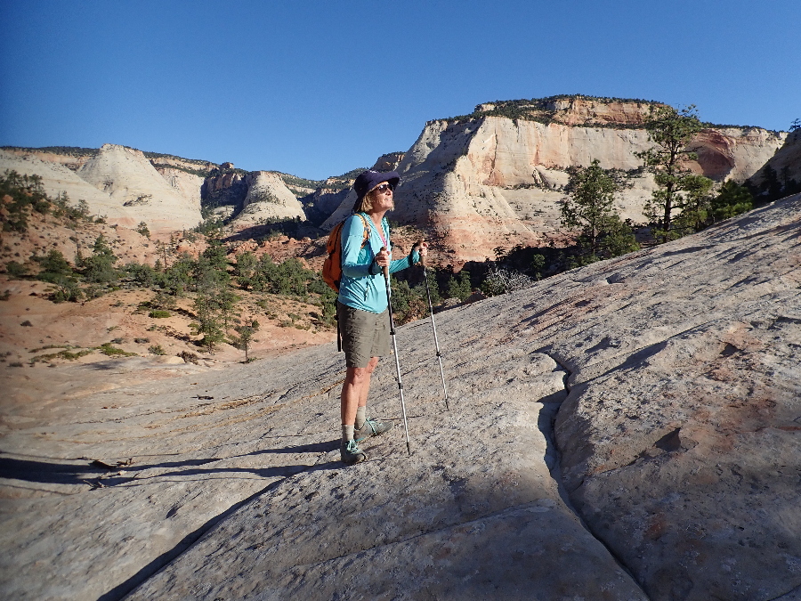
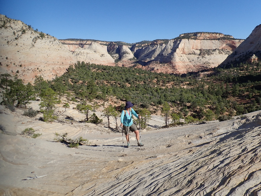
Morning was cool and, although busy, not as busy as it would get when we were on our way down – anyway it is always good to get out onto the trail.
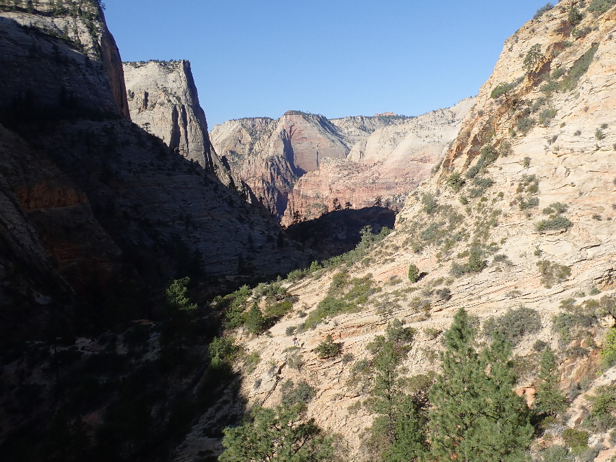
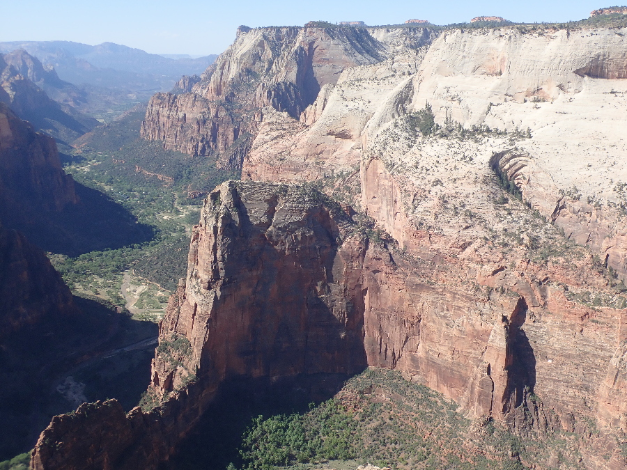
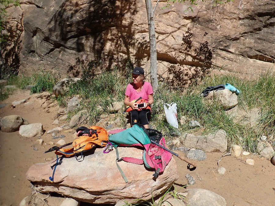
Way too many people up on top and we took our customary photo’s and retreated off to the side for some peace and quiet and a quick lunch.
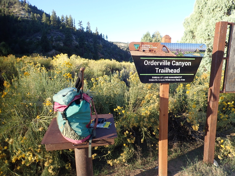
Next day was Orderville day. We had done this route once before in 2002 and I had good memories of it so I wanted to do it again. The narrow canyons and the water can get really cold so I wanted to do it while it was hot but not too hot. The ranger quizzed me on preparedness and no we did not have either wetsuits or helmets but she was OK with that for our choice of canyon. Then we booked a shuttle up to the start with Red Rock Shuttles, it was a 6 am (middle of the night!) departure and it only just got light when we were dropped off at the trailhead an hour later.
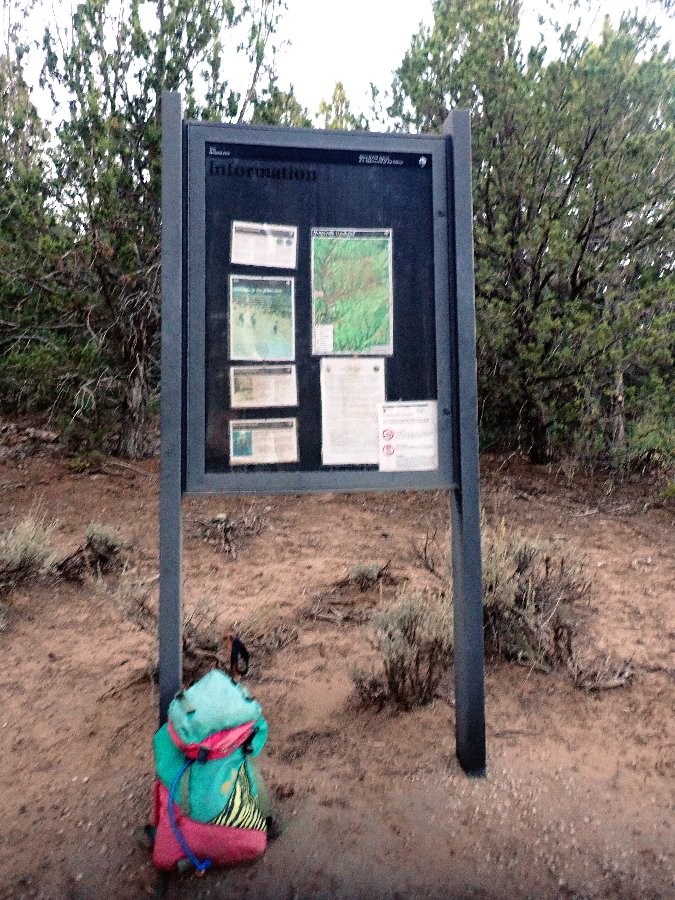
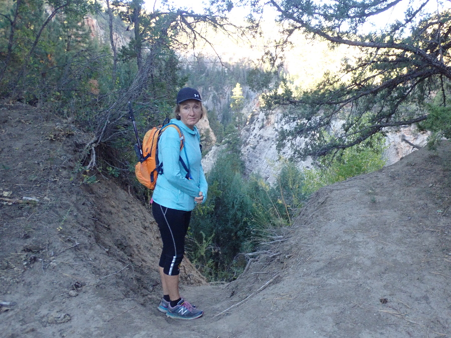
The starting point seemed different from before but I placed my confidence in the signboard telling us where we were. Joe said it was an 11 mile hike but we would hike more according to my GPS. 45 minutes and 2.25 miles in we came to a secondary, reassuring, signage. Looks like we were only now at the trailhead and transitioned from the fire road to a trail.
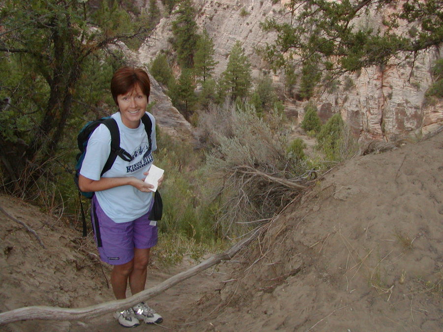
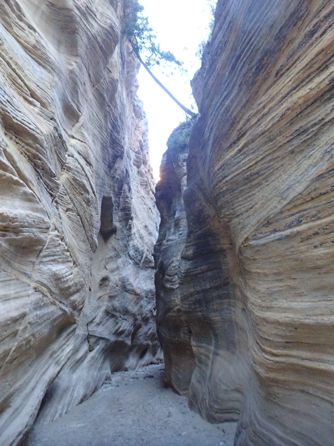
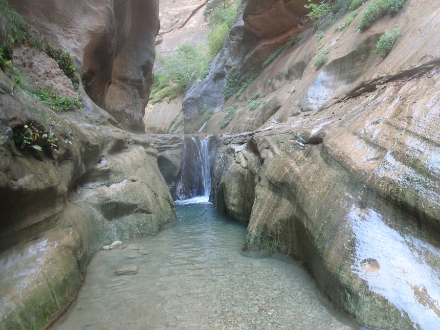
Next was what is called the “dry” waterfall, a steep drop into Orderville Gulch itself at 1.5 hrs & 4.25 miles. Finally I recognized where we were, 100%, and felt better. First photo is now and the following one from 2002.
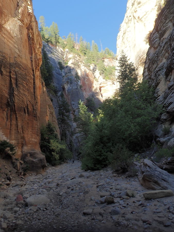
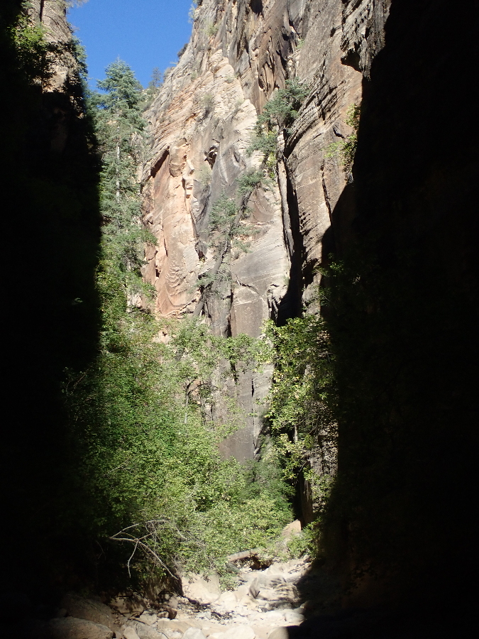
Moving along the walls get steeper, the floor wetter and the obstacles more frequent but life is still good as we bop along at a good pace. There were two other canyon’eers, another couple, that we caught up with and then leapfrogged with each other till the end.
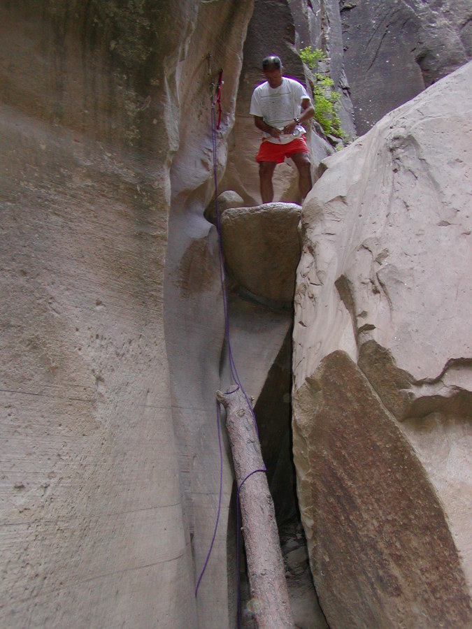
The first rappel is actually pretty straight forward but I felt a bit rushed as the other couple were right behind us. The photo above is the approach and the one below from the previous trip. The log is gone but it is a clean drop of about 15′ to the floor below.
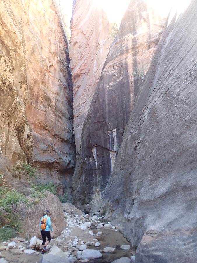
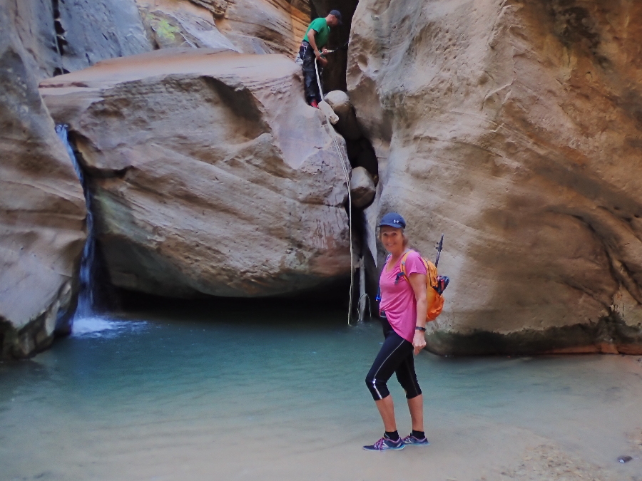
Second one was into waist high water but bolts to rappel off made it straight forward.
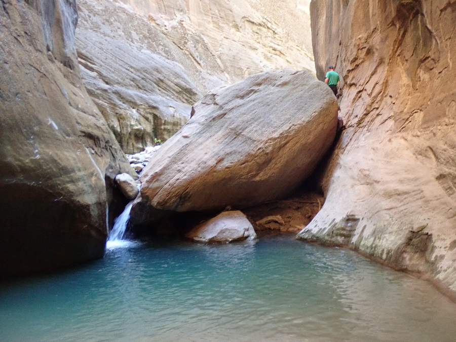
In the photo below the boulder below caused me consternation’s. You can either come down the small waterfall on the left or the crack where the guy in the green shirt is standing. Although the waterfall looks small there was no way I could see to downclimb and it is a big NoNo to even think of jumping as that is when most of the accidents occur. I lowered Rose down the right side, also into water, but could not anchor the rope for myself. Luckily green shirt came along and he belayed me down, many thanks! He told me he was going to be OK and I think he downclimbed the waterfall.
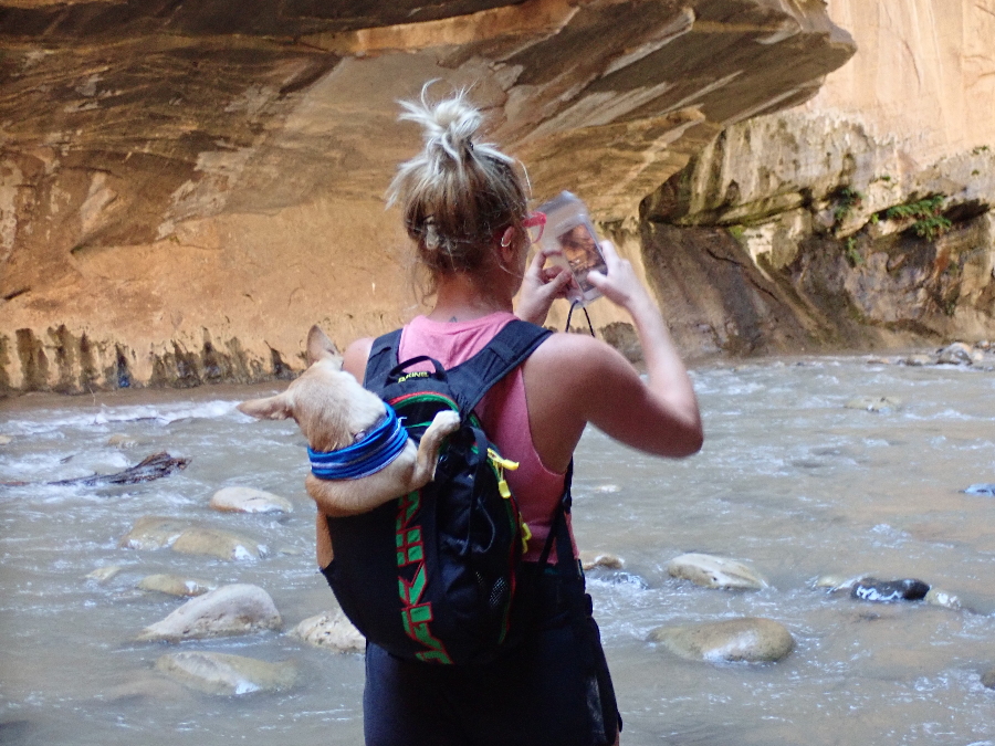
I now started to feel the wet, cold and frustration and did not relate to what Joe calls the “waterpark” section of the canyon.
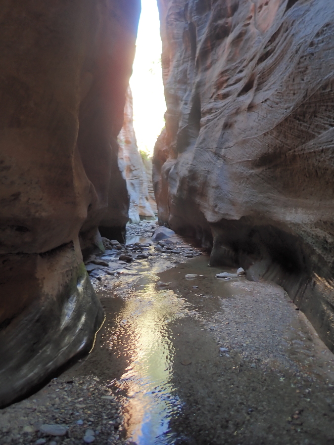
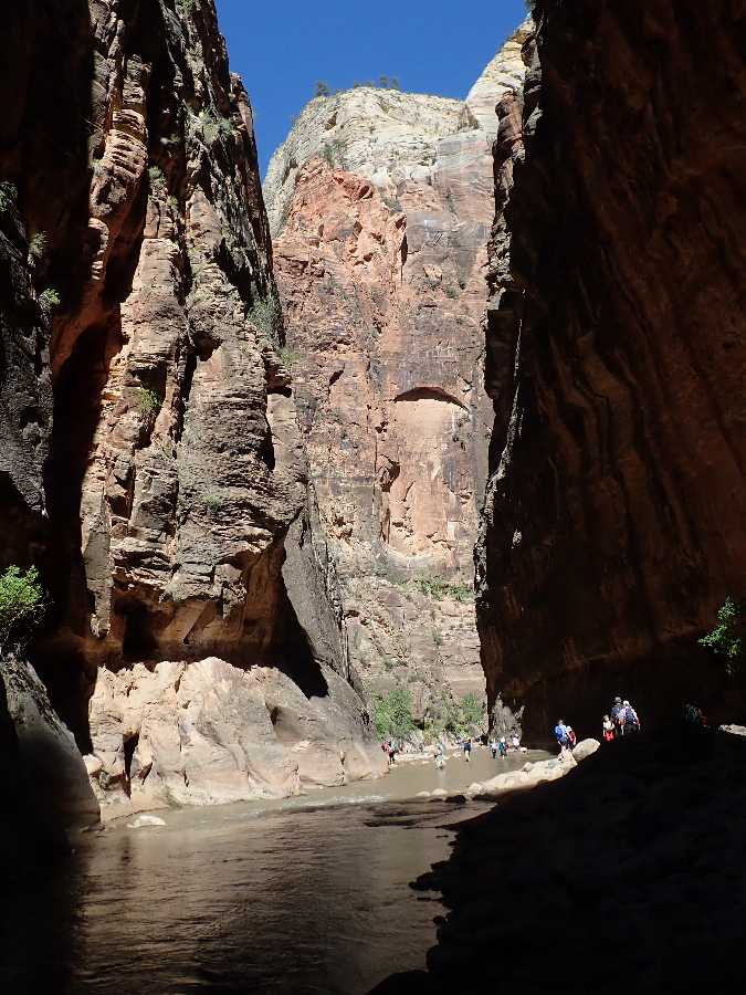
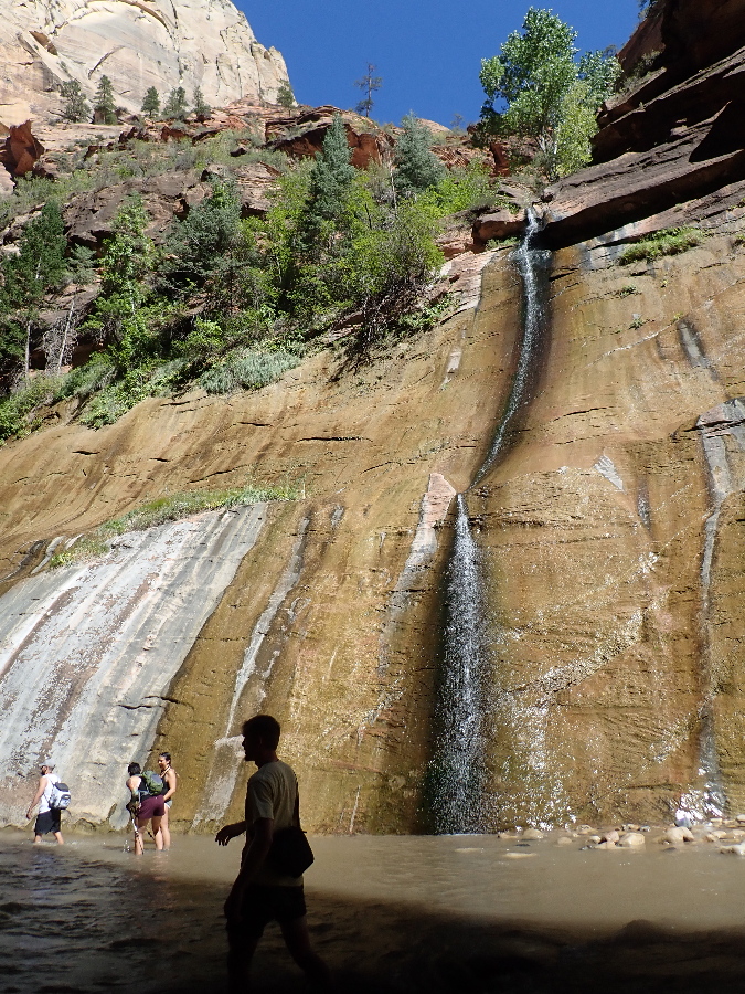
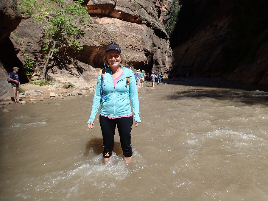
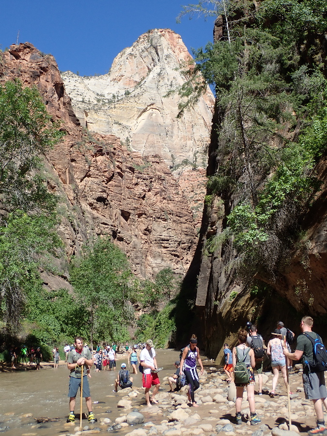
This is when we started to meet people trying to see how far up Orderville they could get. We kept going as I was wishing for warmth from the sun and food, we eventually stopped when we reached the main canyon and relaxed at the side while watching the collection river pilgrims forging their way upriver.
I was happy and satisfied we did the hike but it did remind me that I was not as young and flexible as I was in 2002. Took us 7.5 hrs and about 12 miles, Joe said 7 to 10 hours so not too shabby.
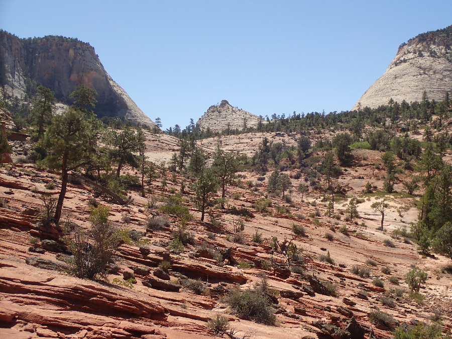
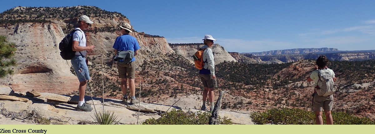
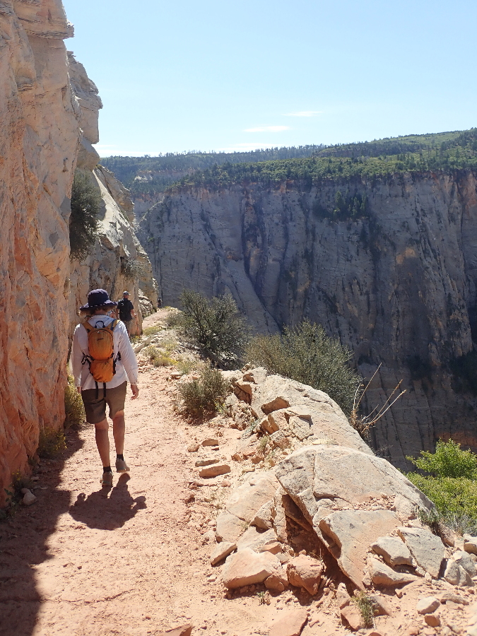
Last hike was out of the East Canyon and one we explored last year with Gayle, Mark, Bobbie, Chris & Laurelee. There is a certain comfort in going back to a place you enjoy and rolling in it. I love the freedom of Upper East Canyon , it’s openness and how we follow a route but our trail is different each time.
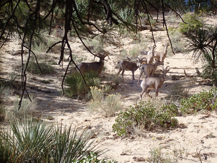
This was our last hike for this season as we were headed back home for a while.