We rolled across the Oregon state border, first visit for both of us, and headed for the first of our reservations at Harris Beach State Park. Having read many other bloggers stories of cruising up and down the coastal Hwy 101 I realized that as we were going to be here in summer that we need to make reservations. Now I hate tying myself down to fixed itinerary but reality has it that what I hate more is having to look for campsites at the last moment and there are limited boondock sites other than the odd Indian gambling casino. On the flipside we how had some nice state parks to visit with our stress free reservations ahead of us.
The other issue of being on the road is that we have been living off our cell phone internet plans and they shrink rather quickly when you use them like your limitless broadband connection at home. But now we are up at Winchester Bay RV resort with a reasonably good WiFi included. But first back down to Harris Beach and the town of Brookings.
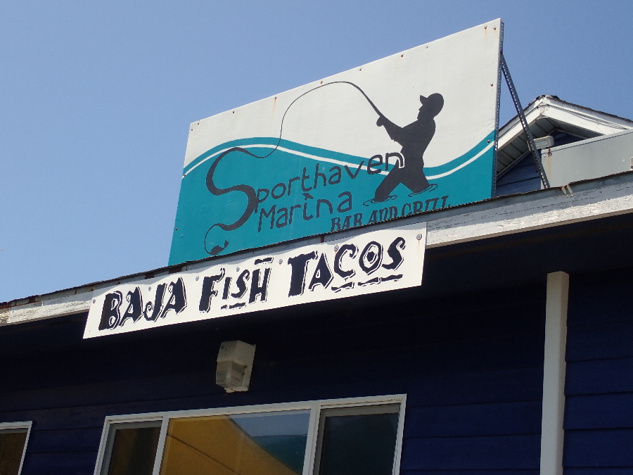
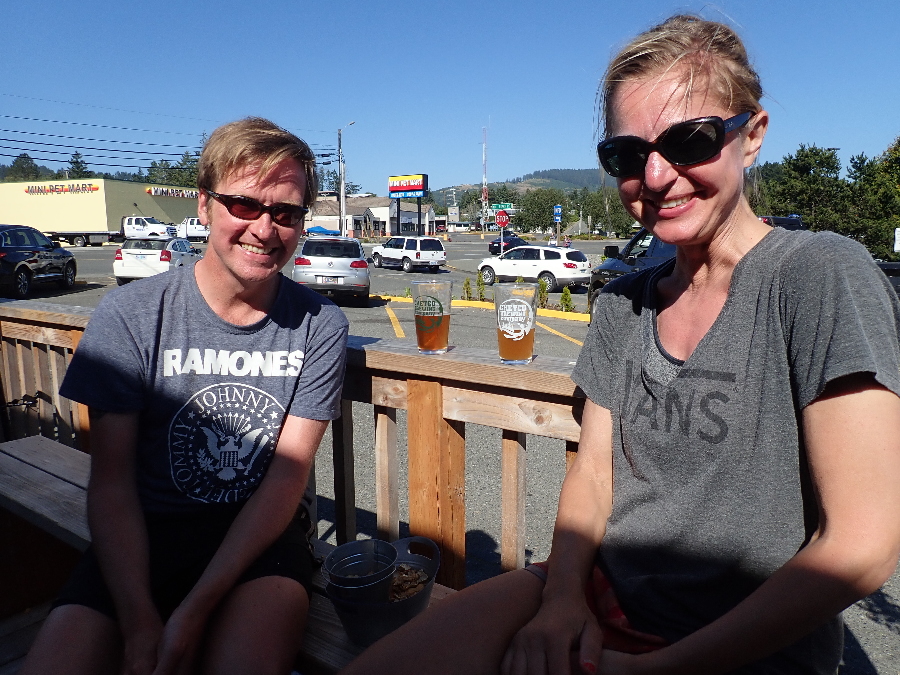
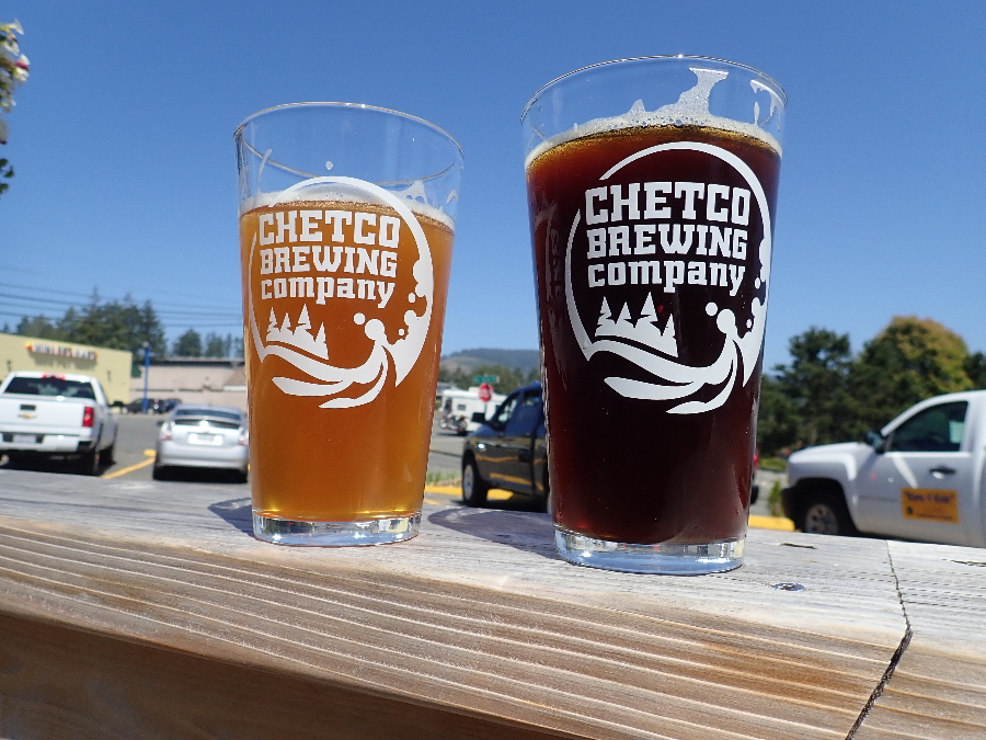
Took a bike ride down into town to get a feel for the lay of the land. The harbor area looked forlorn but we did have a great grilled fish & chips on the deck at Sporthaven Marina. Next we went back into town and settled in to Chetco Brewery for a coastal pint. Chetco by the way is the name of the river that Brookings is founded on.
We quickly strike up a conservation with a German couple who were taking a break from their Pacific crest Trail hiking endeavour. Been at it since April and had to leapfrog over the snowbound sections from Kearsage Pass near Independence on Hwy 395 up to somewhere north of Bishop. Hats off to them either way.
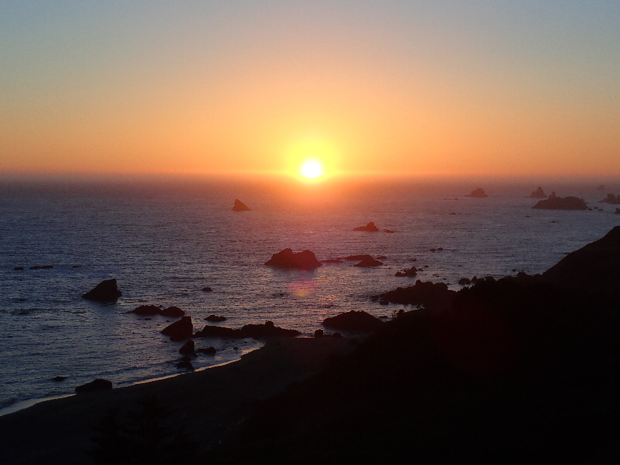
North of Brookings is the Boardman Scenic Corridor. One of the first suggested viewpoints is Whalehead island which we dutifully stop at. A bit further on we pull over into the Indian Sands parking lot and get ready for a bit of a coastal hike. Oregon has the “Oregon Coast Trail” which on a larger scale is a connection of trails up the coast but on a more macro level each bit of trail is crisscrossed by others and mysteriously ends and starts as we were to find out.
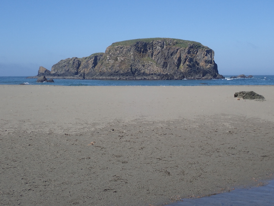
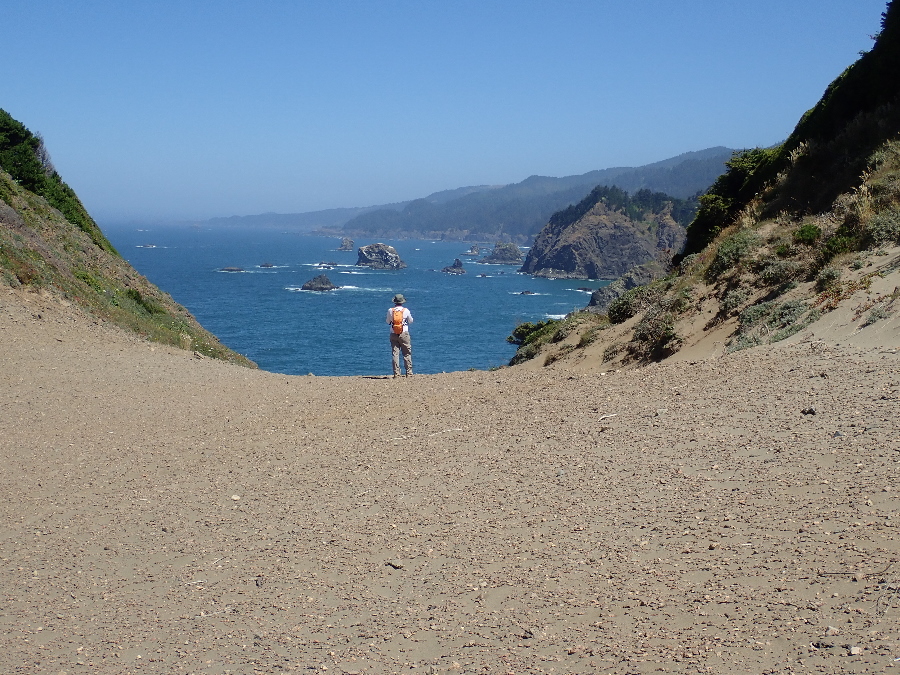
We started at Indian Sands and headed north. The sandy section was wide open but one could see where the trail eventually went and one ignored the offshoots down to the beach. It narrowed to a traditional pathway that wound its way in & out, up & down along the rugard coastline.
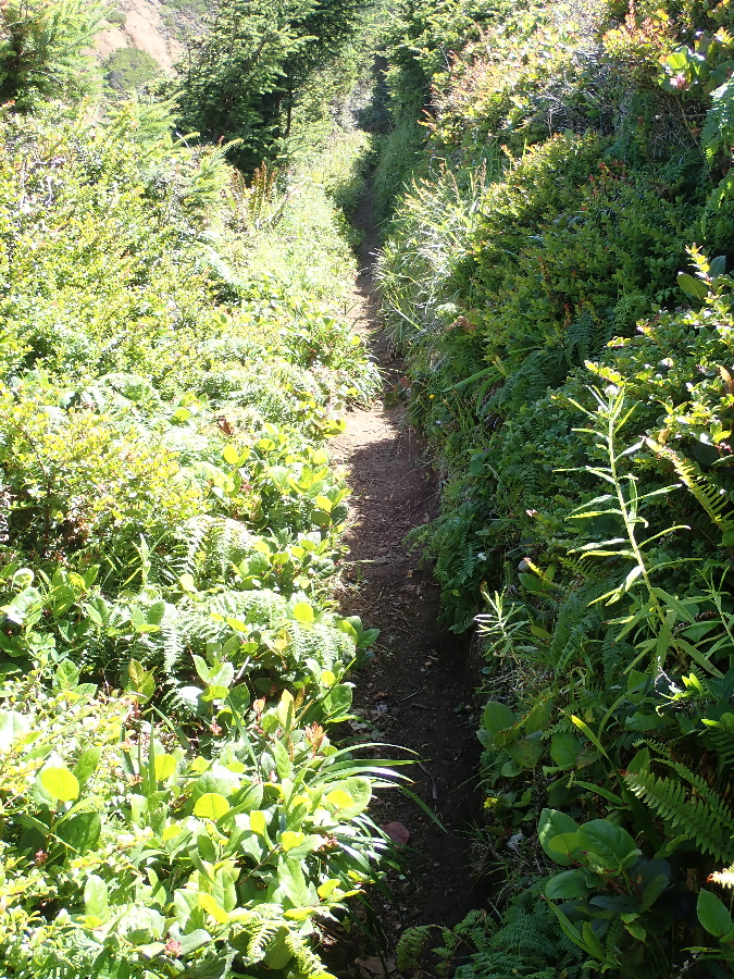
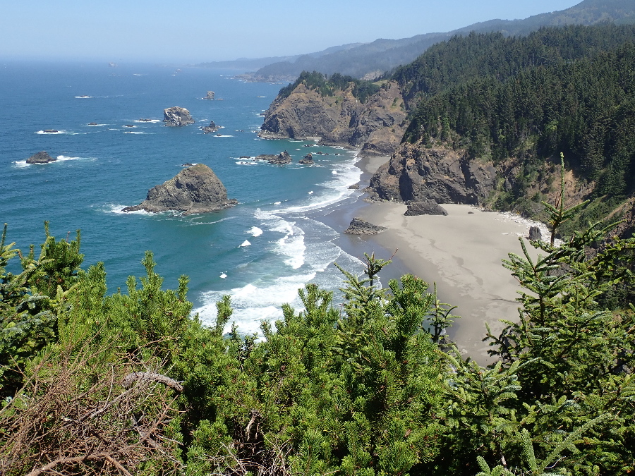
You’re suspended. Bound to the trail you are neither down on the sand nor, for now, up at the road as you wonder what is around the next corner. The Thomas Creek bridge comes into view and the gradient increases indicating a bridge cossing over the creek rather than a wade along the shore. Then without warning the trail dumps you at a scruffy viewpoint just before the bridge itself.
I view the two lane bridge with hordes of traffic and no pedestrian walkway, chicken out and retrace our steps to the car with a “lets pick it up further along” comment to Rose.
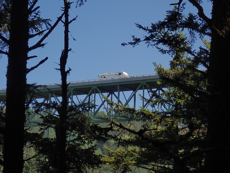
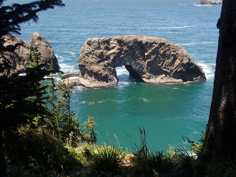
Back at the car we traverse the bridge in safety and pull over at Arch Rock. Another touristy stop but we loose the cars as we head south on the same Coast Trail.
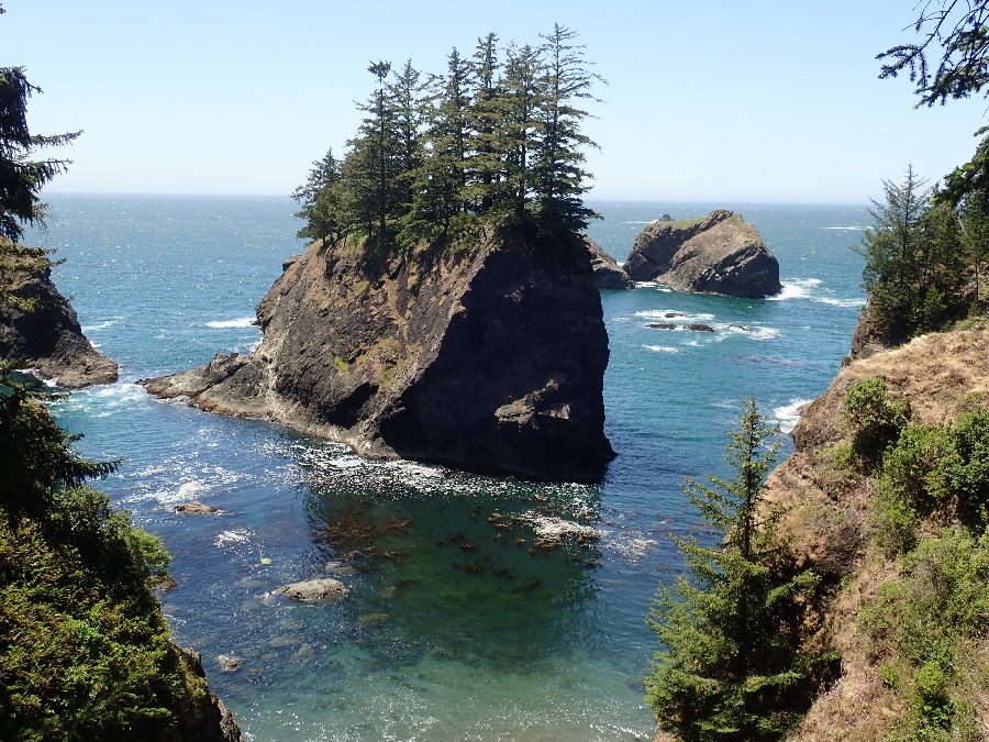

Pass Secret Beach with many people headed down to it from some hidden pullover on Hwy 101. We scramble down,walk along the sand looking for the way out and further south. Of course there isn’t any as I had missed the unmarked turnoff way back then.
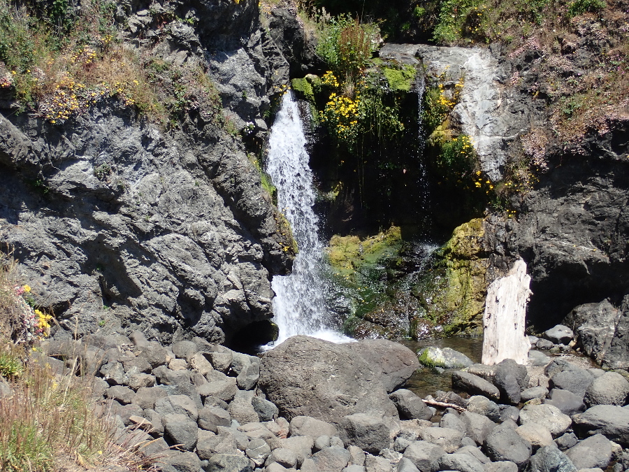
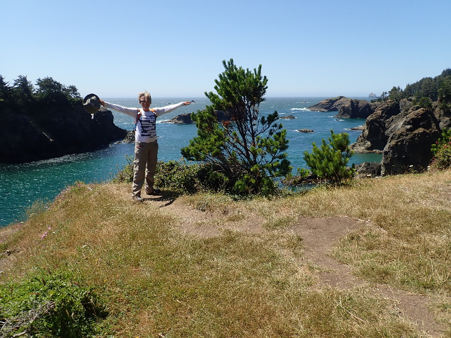
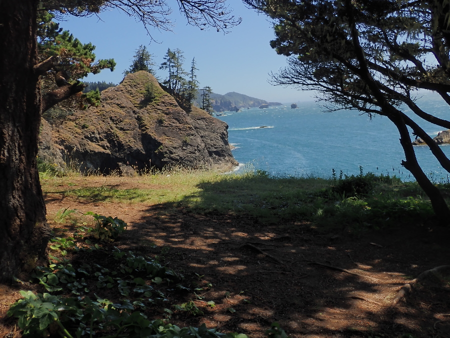
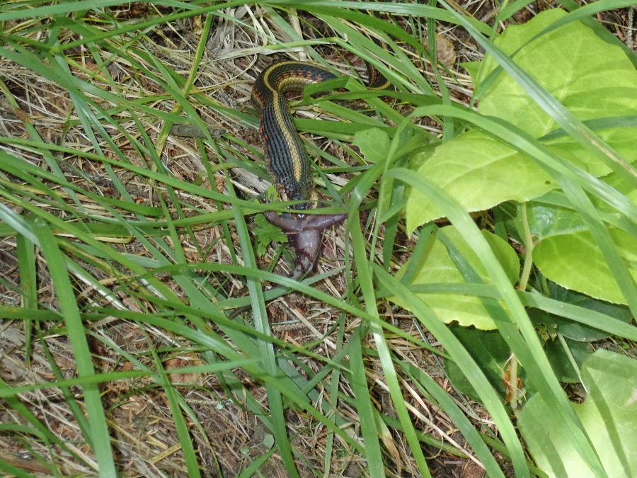
We start to retrace our footsteps and I stop to tighten a lace. Makes me focus on the side of the trail and I instinctively back off as I sense a snake in the grass. He is on the right, parallel to the path, facing ahead of us. I did not think he was dangerous but a snake is no less a snake. Rose & I act like two teenagers as we sneak past on the left but I am curious and look back at him.
He has a destinctive stripe running down his back, a Garter I believe. Then I see that we have interrupted his dinner and that he is attempting to swallow what looks like a frog judging by the legs protruding from his mouth. I snap a few photo’s but then leave him in peace and head out after Rose who likes to keep a distance between her and unknown reptiles in the grass.
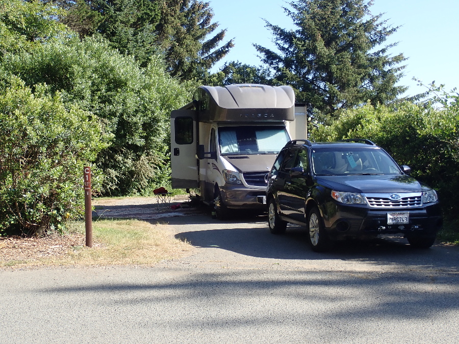
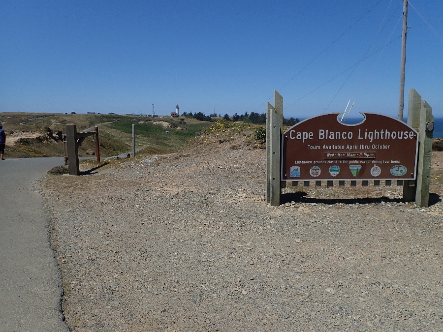
Headed north up to Bullards Beach but not without a stop at Cape Blanco Lighthouse, about 7 miles off the 101.
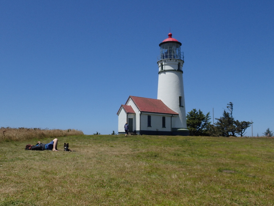
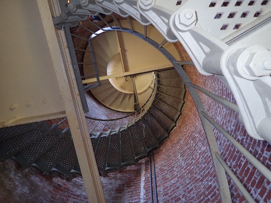
Opted for the $2 tour up to the lens level. First a climb up the original staircase then a wait as only five persons could go up to the lens level at a time. On the way out I overheard a comment: “Don’t forget to park headed into the wind”. Woke me up to the fact I was no longer in sunny Southern California!
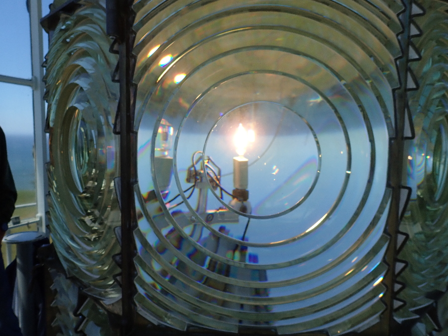
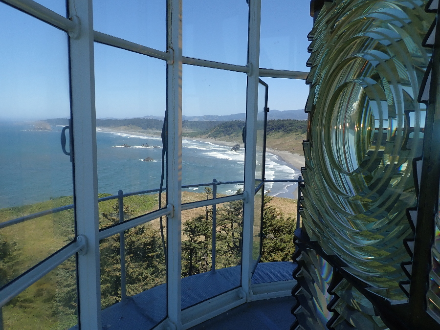
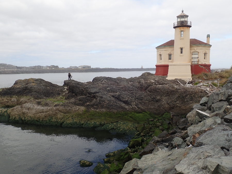
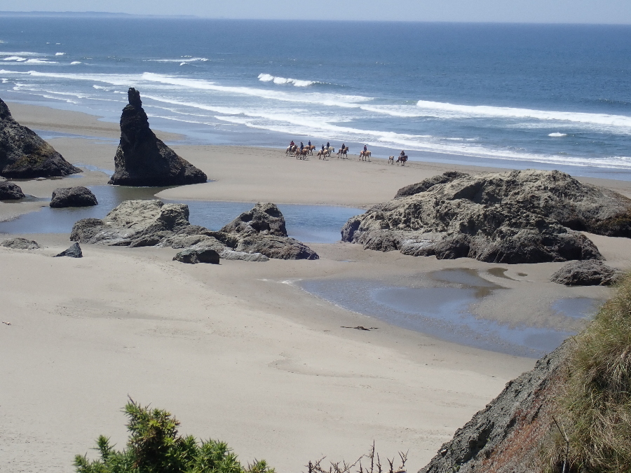
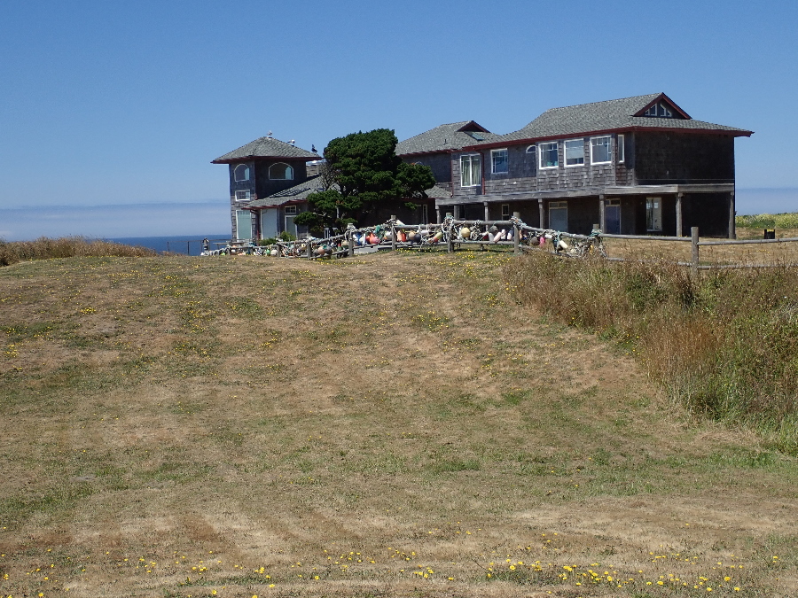
Bullards State campground is just north of the town of Bandon and we found another lighthouse.
On to the next post ……..
We loved the Banding, Brookings, and Newport Beach stretch of the 101, back in the day when reservations were not necessary… mostly finding places right on the ocean. Still beautiful tho, even when crowded.
mark
101 is constantly busy with a steady stream of 50 mph traffic. Lot’s of places I’d liked to have been in the Subi and able to pull off, explore, tiny one lane roads.