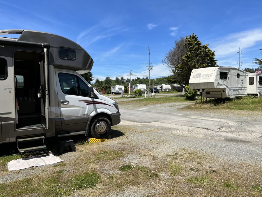
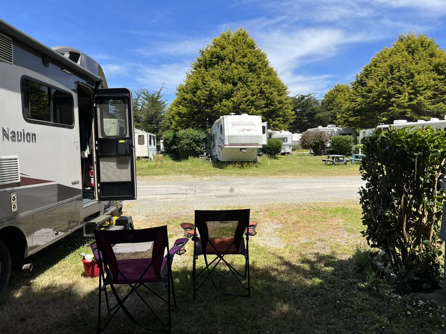
We left shady Jedediah and headed for Crescent City 10 miles westwards. The goal was two nights to resupply and cleanup before our next stop down at Klamath River. In looking for an RV park I found a few “parking lot” styles near the ocean, too crowed for me, and I chanced our luck with Sunset Harbor which I knew full well was a predominantly long term park. Turned out to be fine for what we wanted. Quiet and not crowded.
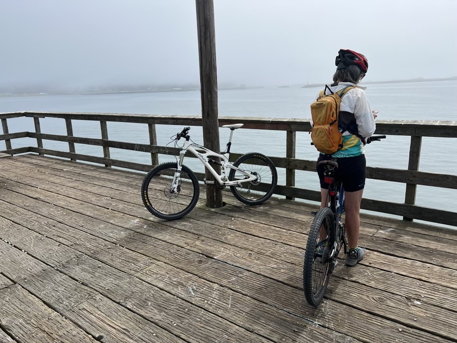
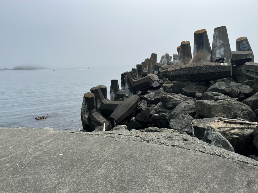
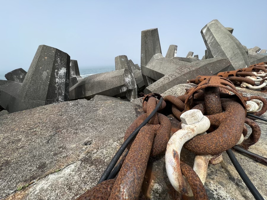
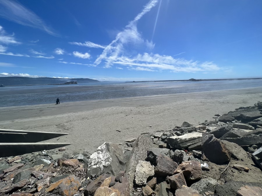
Got the bikes out and went to explore. There is a small pier inside the harbor, OK to walk out on, and a longer breakwater that protects the harbor, they discourage walking out on that one.
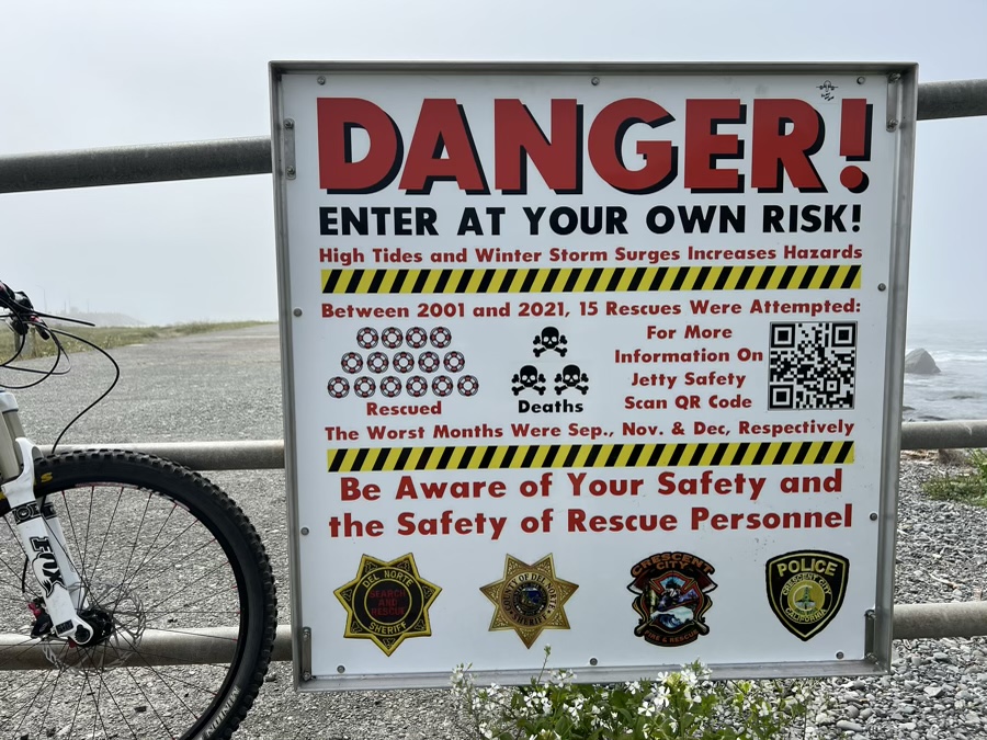
Understandably you could get hit by a rouge wave so we made sure the breakwater was dry (no recent waves) as we rode out. These Doloes at the end have transmitters in them so that their movement can be monitored, supposedly one of them has moved 11 feet during storm activity.
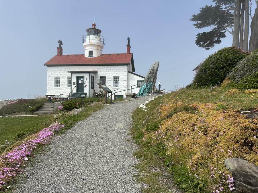
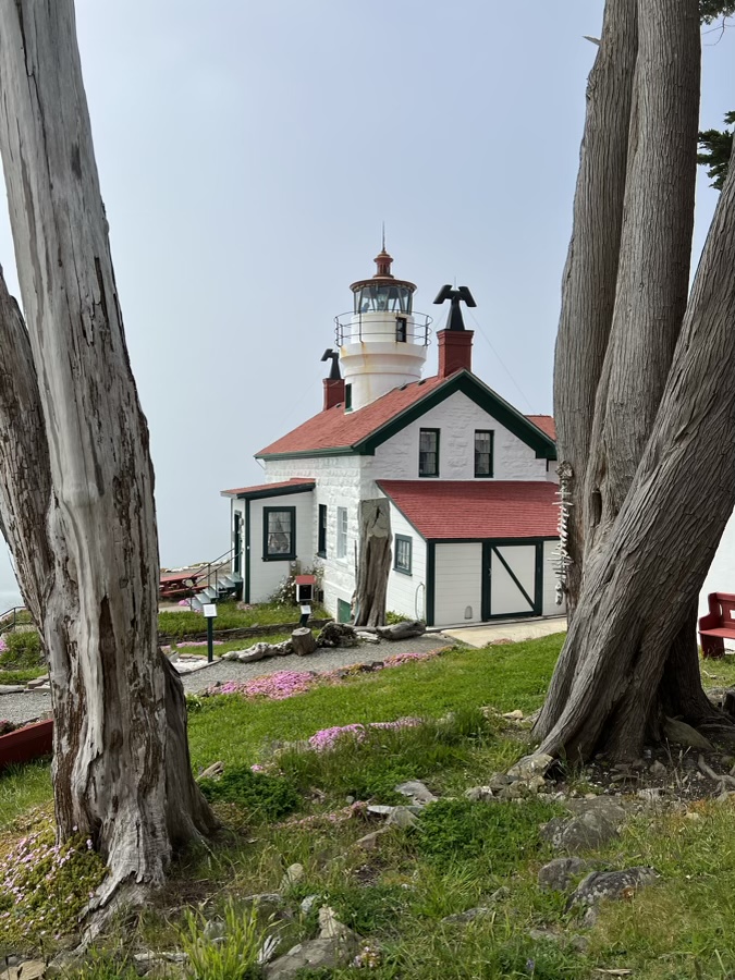
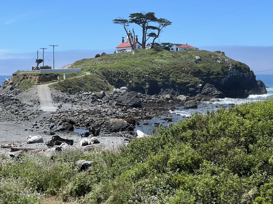
Walked out to the cute Battery Point lighthouse that was in and out of fog while we were there.

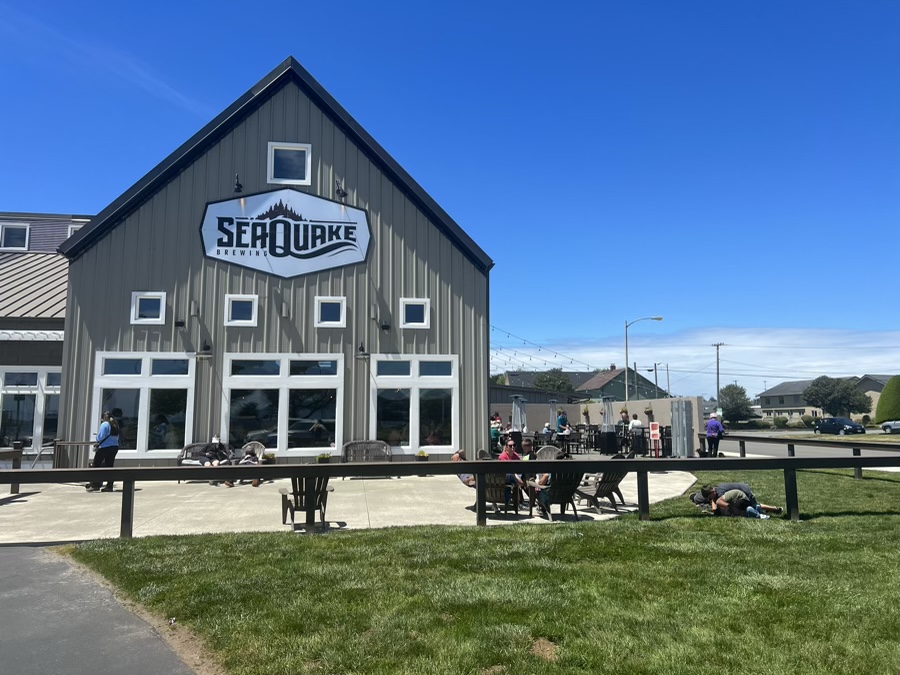
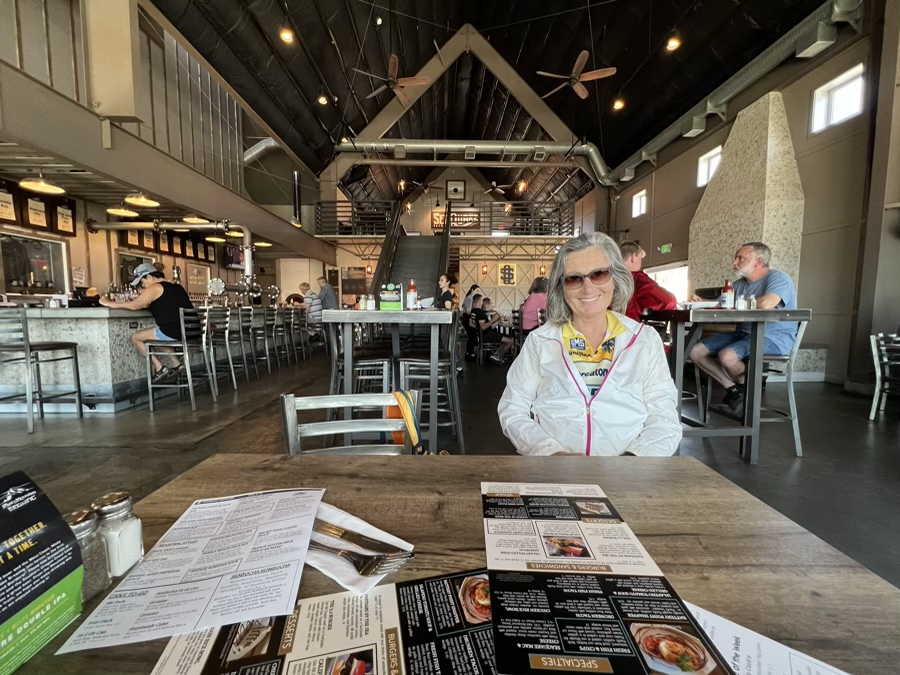
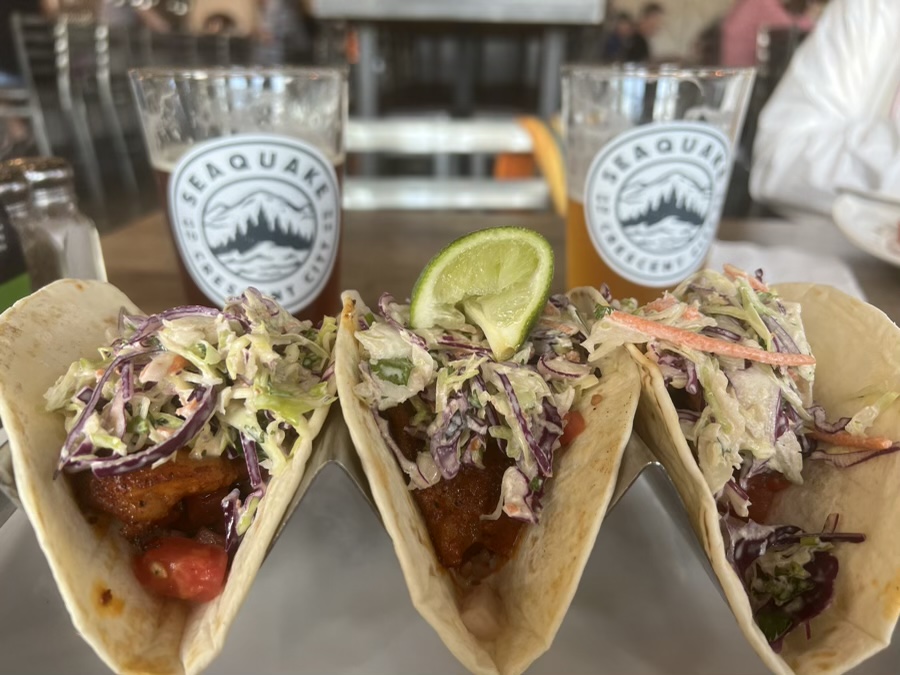
After a short cruise up the coast we headed for Sea Quake Brewery for beer and taco’s. Always fun to taste the local brew.
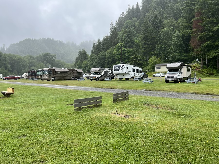
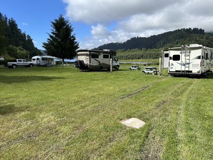
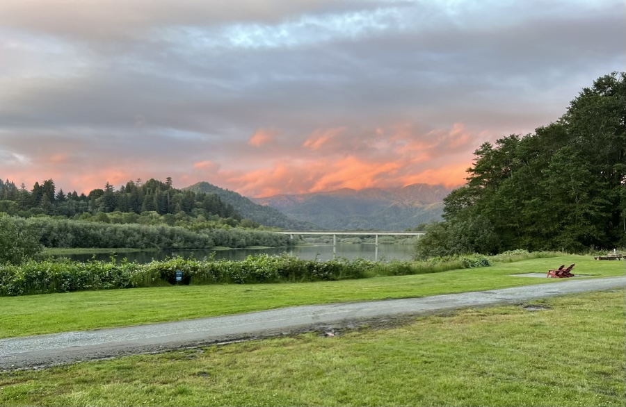
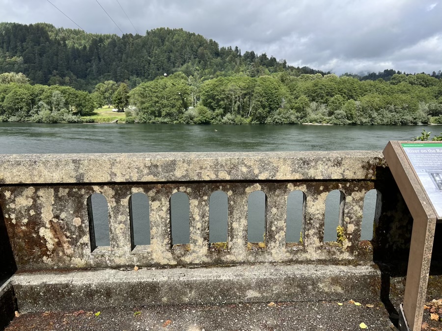
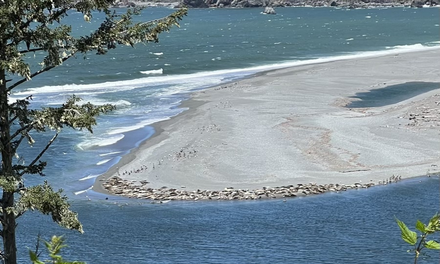
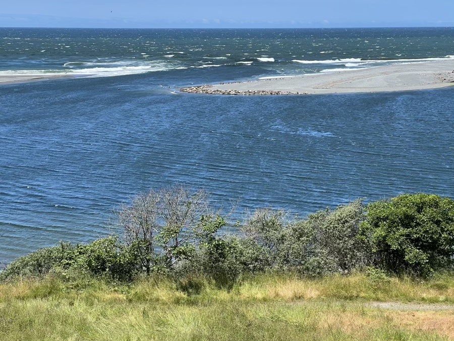
Rain came in as we packed up at Crescent City and went down to our river spot for 3 days. The objective here was to chill out and gaze at the Klamath before heading back into the redwoods.
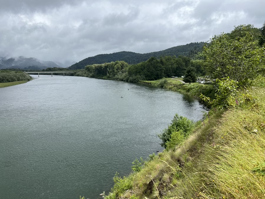
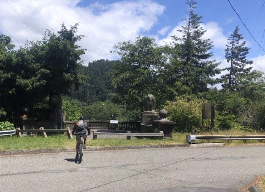
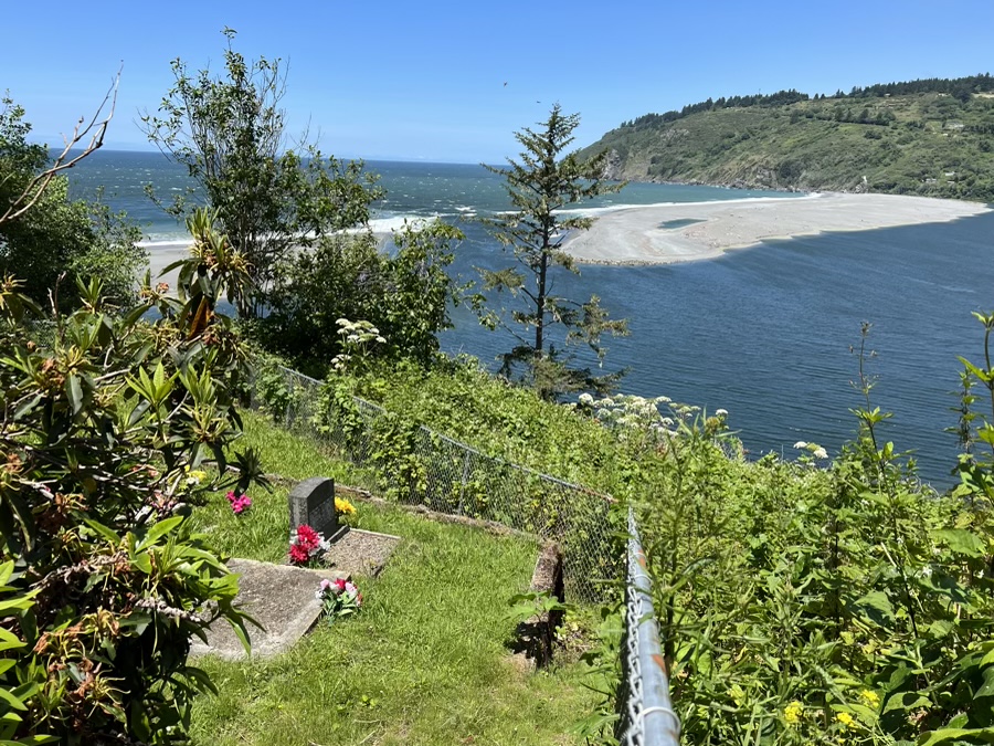
After a day of light rain we took the bikes out to explore and happened on a memento as to where the old Hwy 101 bridge used to be, that is until 1964 when the flood destroyed it.
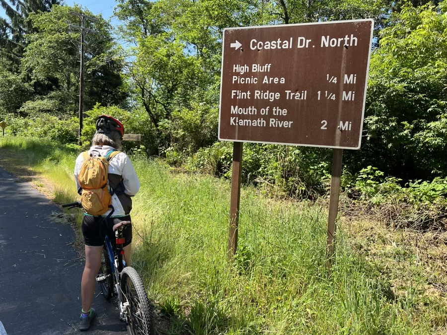
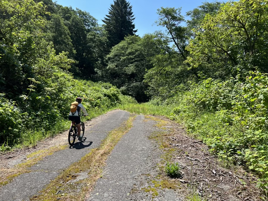
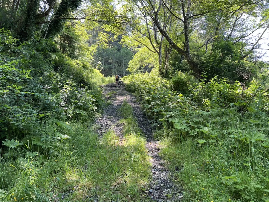
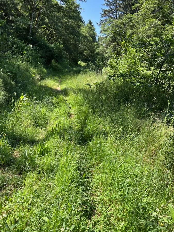
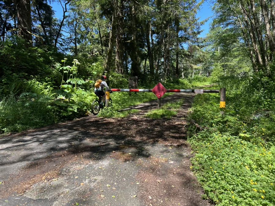
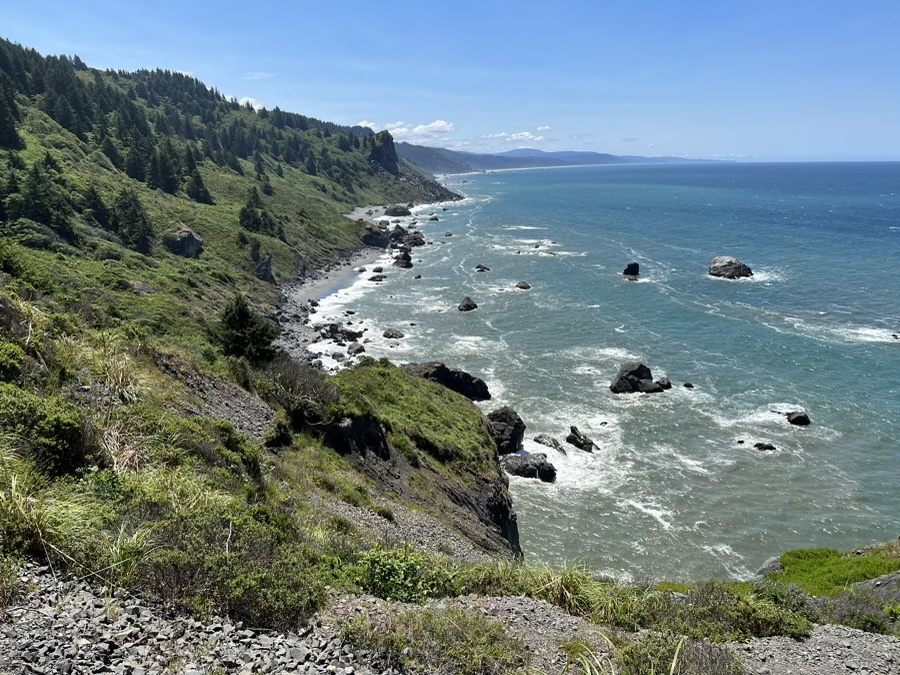
After that it was to see what the old Coastal Drive looked like. Maps show it as an old road that is now hiking/biking only. I was surprised that is barely a road and the high rainfall makes it very muddy to navigate.
Next stop was Mill Creek Campground, a bit to the north.