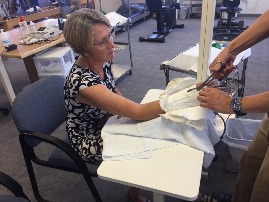
Rose had surgery on the Monday, 8 days after the accident. Dr Benhaim did a great job of screwing the broken bones together but there was no way of avoiding the second round of trauma the poor wrist was subjected to. Initial pain medication was once every 6 hours as prescribed but now 5 days later she is down to two a day and stretching out the interval even more which is a good thing.
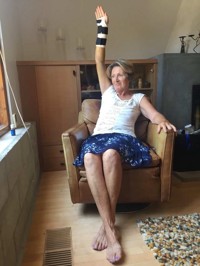
3 days later Rose went to physiotherapy and they gave her a removable cast and stressed the importance of elevation and six times a day exercises in order to regain total mobility which I must say she is very diligent about. We have a followup doctors visit to the surgery and hope all goes well as we have tickets to fly back to Portland on Sunday the 13th to pickup the last two weeks of our Oregon tour and eclipse viewing.
But, there are some unpublished photo’s of our activities leading up to the Newport incident.
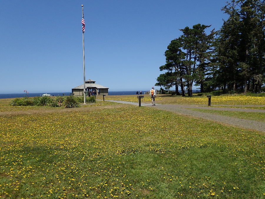
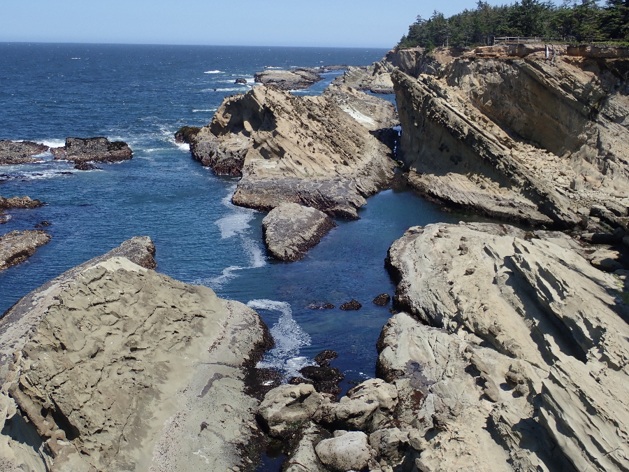
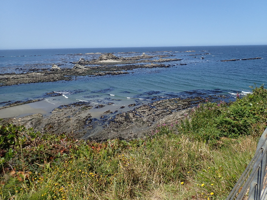
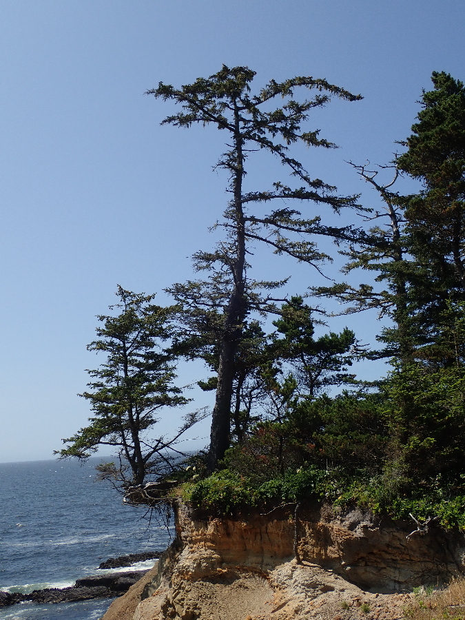
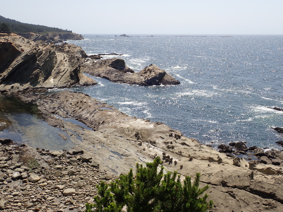
Up to the north of Bandon near Coos bay are three concatenated state parks along the coastline: Sunset Bay, Shore Acres and Cape Arago where the road ends. We have a tourist map that shows a trail along the coast and about 4 miles from the end we look for a suitable spot where we can join it for an out and back hike. Find a small parking area with a couple of cars and what looks like a trail running off to the coast and we give it a shot.
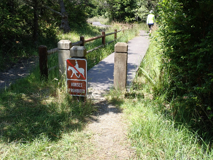
Like we’ve previously found there are intersecting trail choices that keep you on your toes and even two locals we asked gave us befuddled stay left or stay right options.
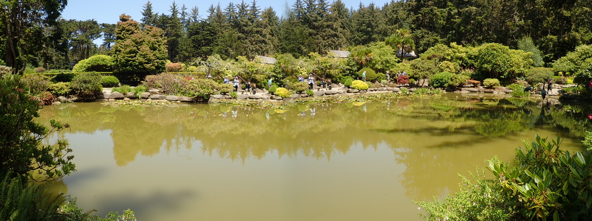
I splurged out and replaced using my iPhone camera with the TG-5 below. One drawing card is that it is waterproof and has some nice “software” features not found on the iPhone. But one is lacking, the “pano” mode of the iPhone is pretty good and easy to use. The TG-5 does have a panoramic mode but if you do not pan enough to include complete frames then you end up with the aberration above. Look carefully and you will see the duplication in the center of the photo.

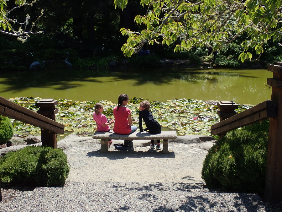

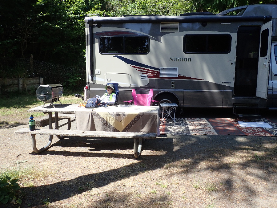
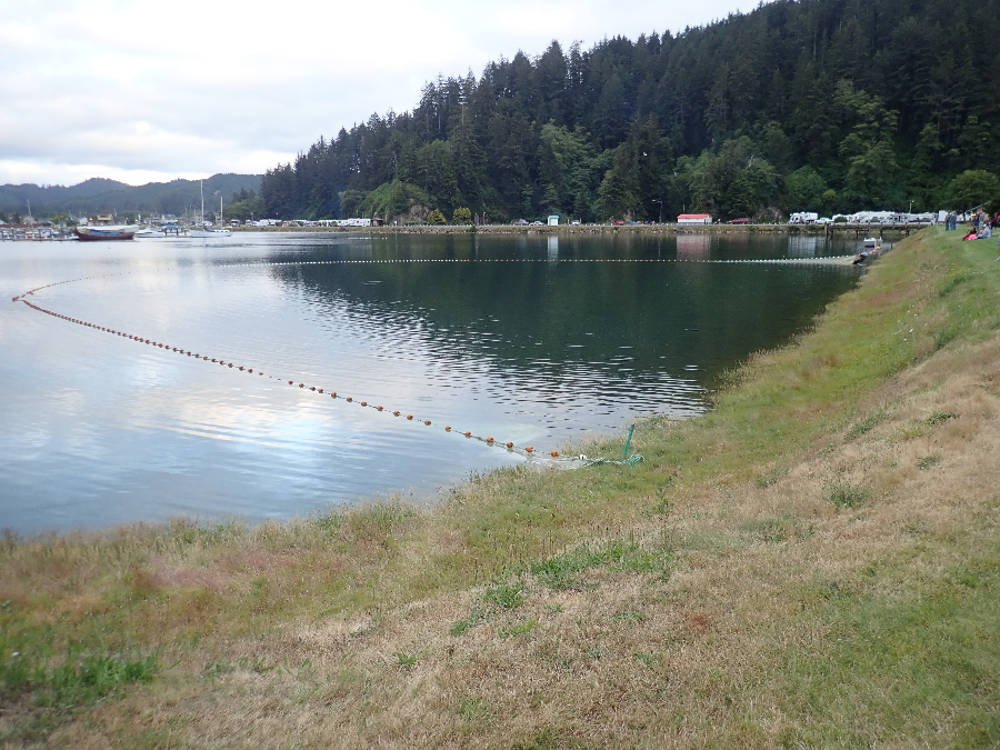
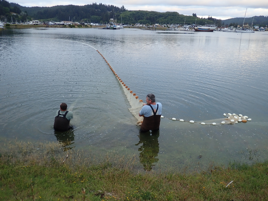
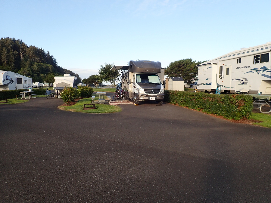
Next stop up the coast was Winchester Bay and an RV resort. This was a rather nice park even if the sites are close together and full of shiny 40′ diesel pushers along the front premier row. Late that afternoon these two guys drew an audience as they hauled their net in. Slow back breaking work. Did not get to see the catch as they transferred it into a pen as the fish farmers use.
Dropped into the Forest Service office in neighboring Reedsport to inquire about hikes in the area. Rose got her Senior (gheezer) pass for the National Parks before the rate hike from $10 to $80 and I got another one as insurance in case I lost mine, can’t beat $10!
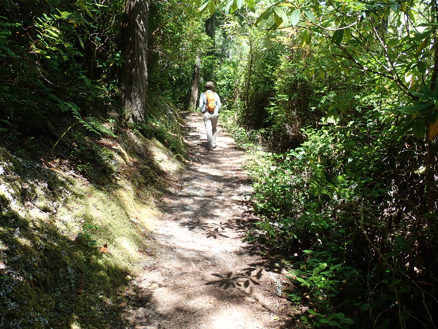
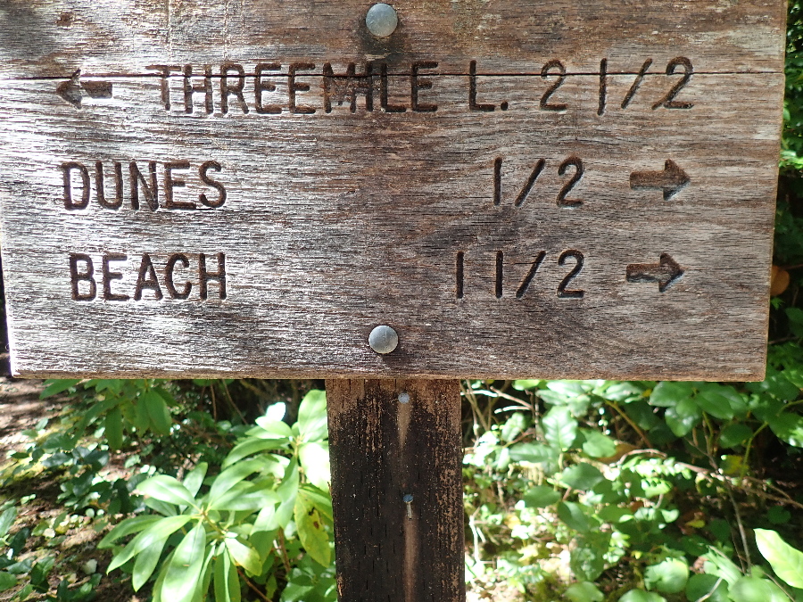
Sent us off on the Tahkenitch trail that started at the campground a few miles north of the town. We put together a loop that takes you through the forest and onto the coastal sand dunes down to the beach.
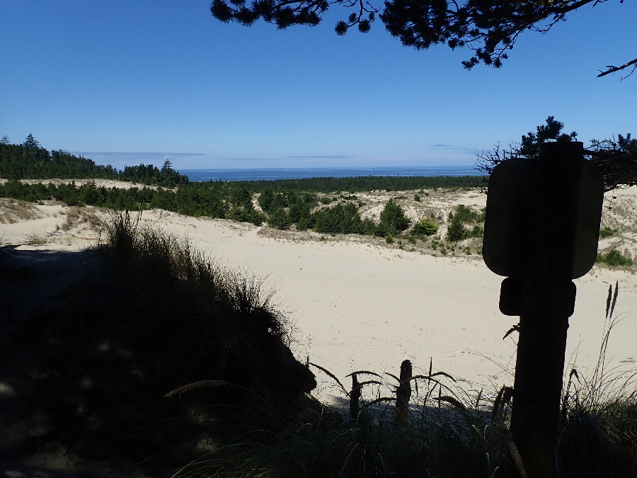
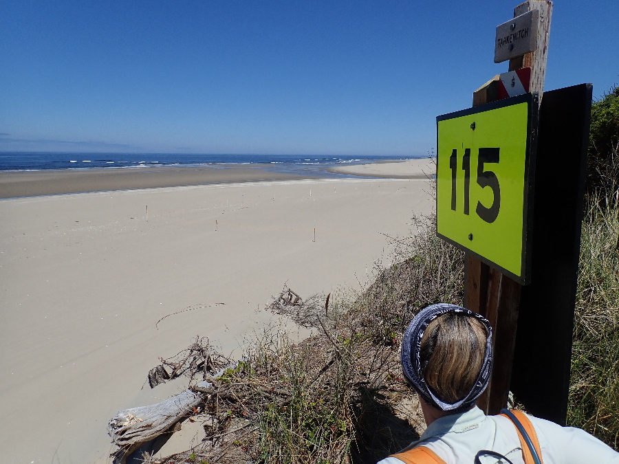
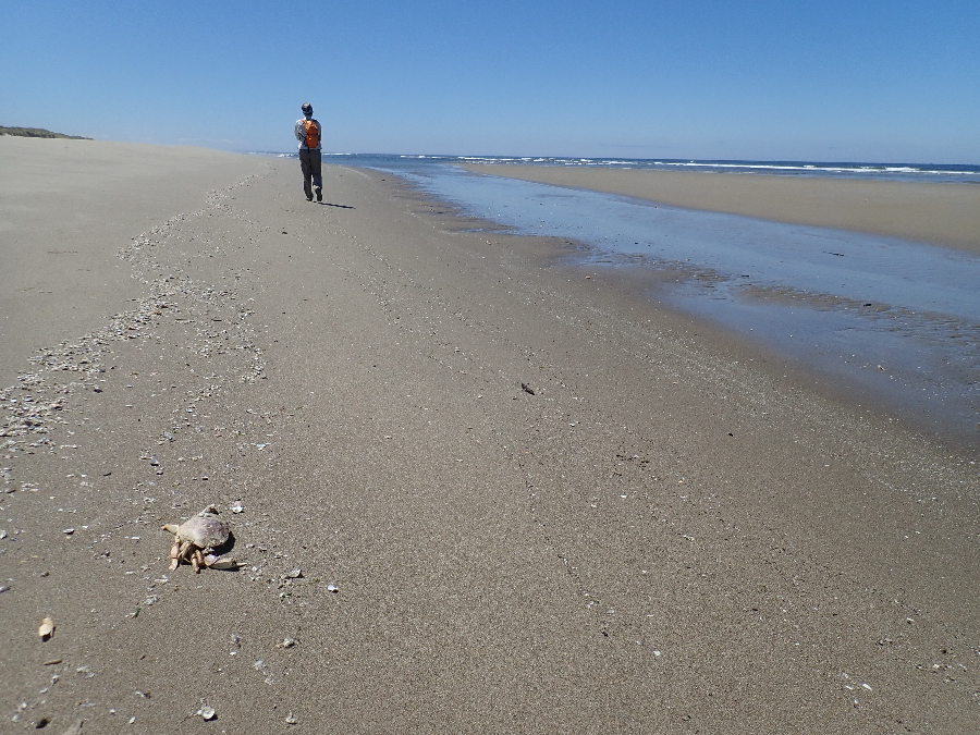
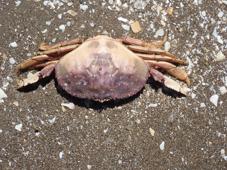
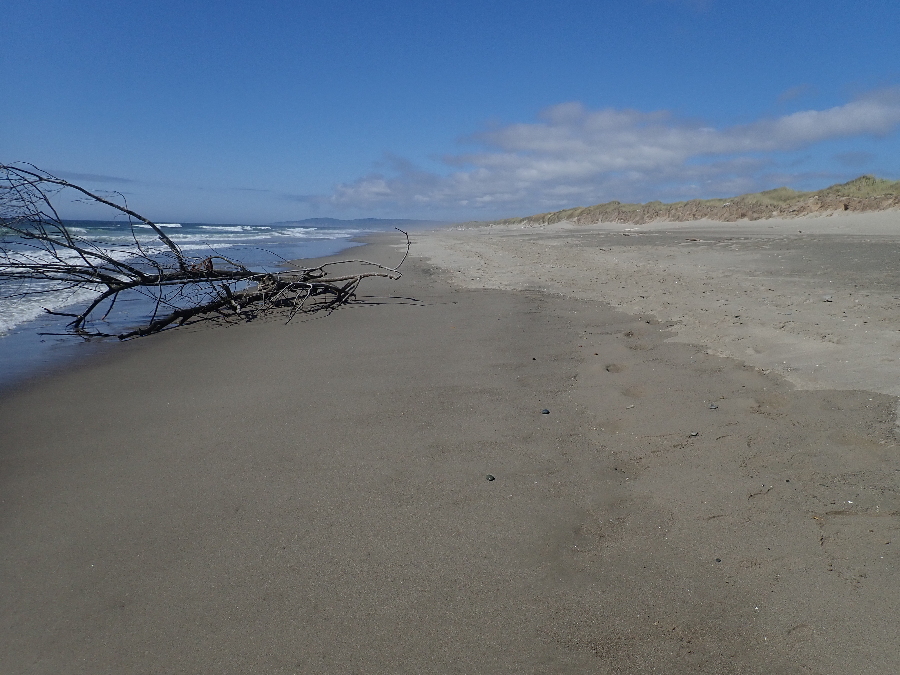
Neon green beach signs to be used in an emergency. There are 197 of them along the coast and help pinpoint your location in case of an emergency. We set off south along the deserted beach and quickly noticed the large number of dead crabs amongst the multitude of shattered shells. A Google search will point to “Dead Zones” where the water is low in oxygen and can’t support life.
We had a bit of trouble finding our entry point back into the forest and navigating round 3 mile lake to locate the trail back to the trail head.
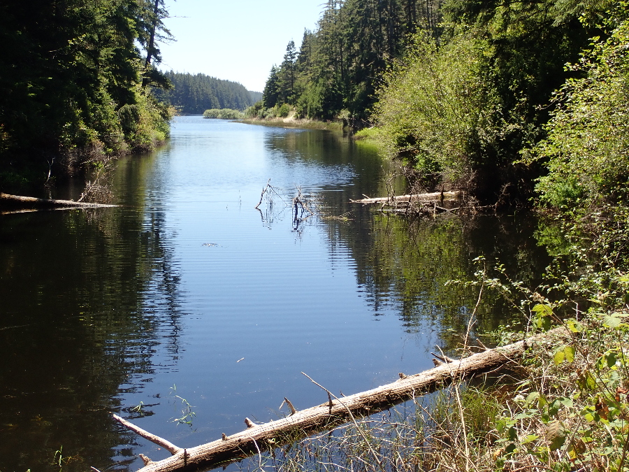
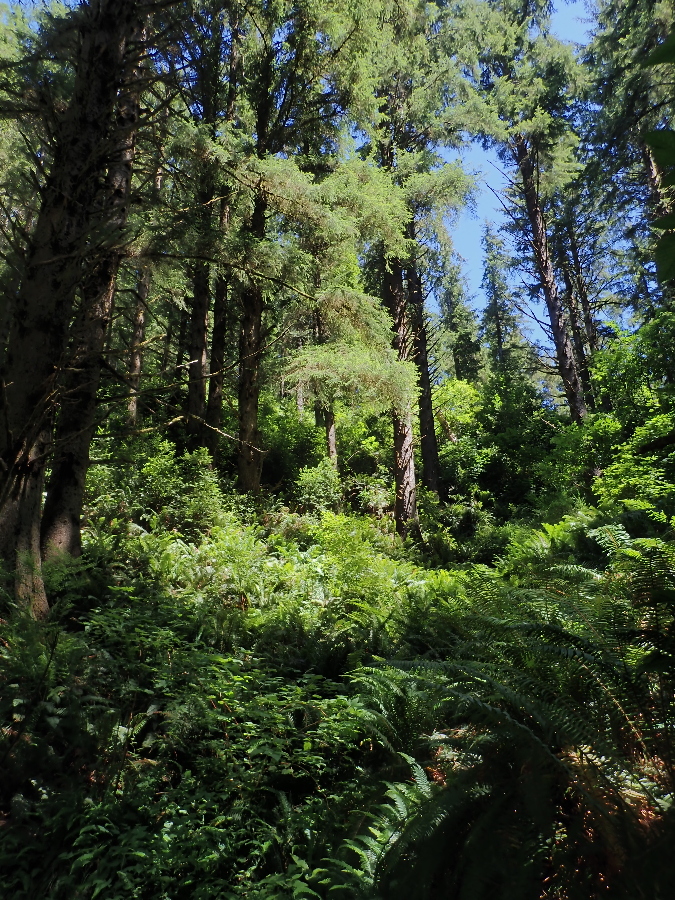
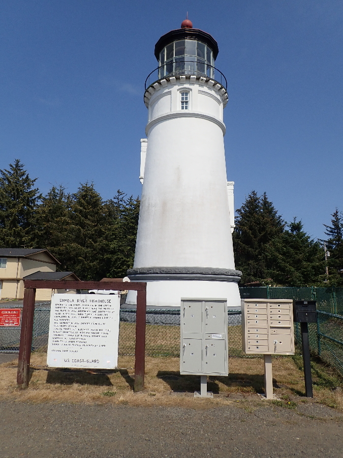
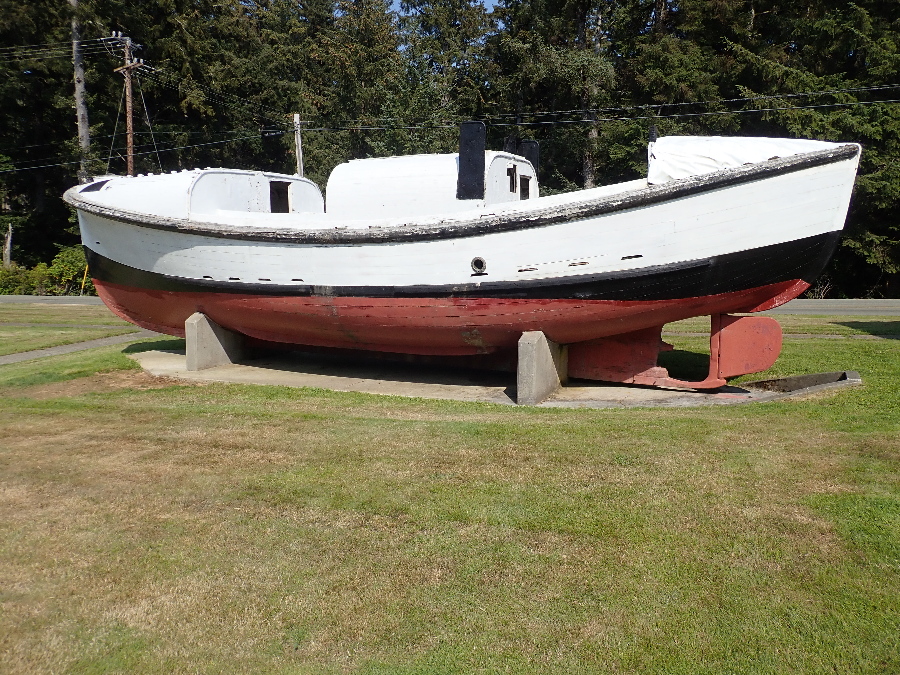
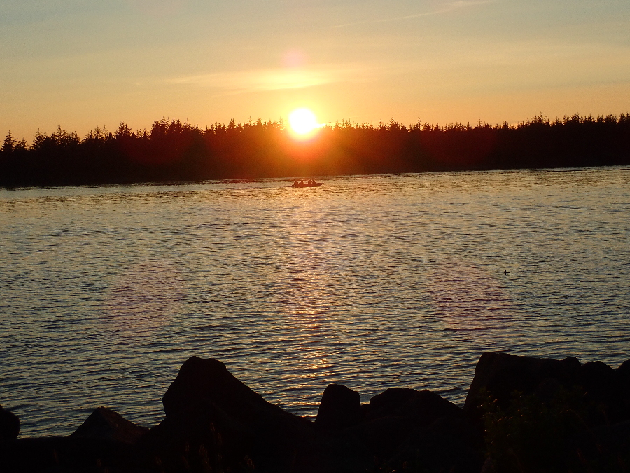
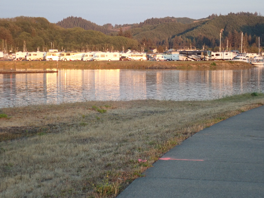
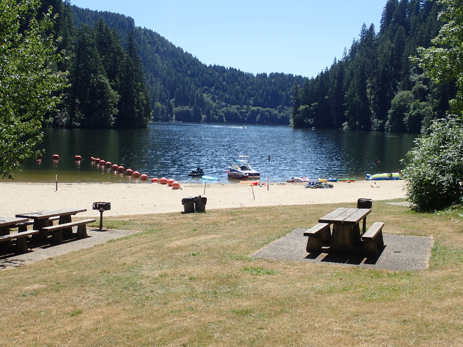
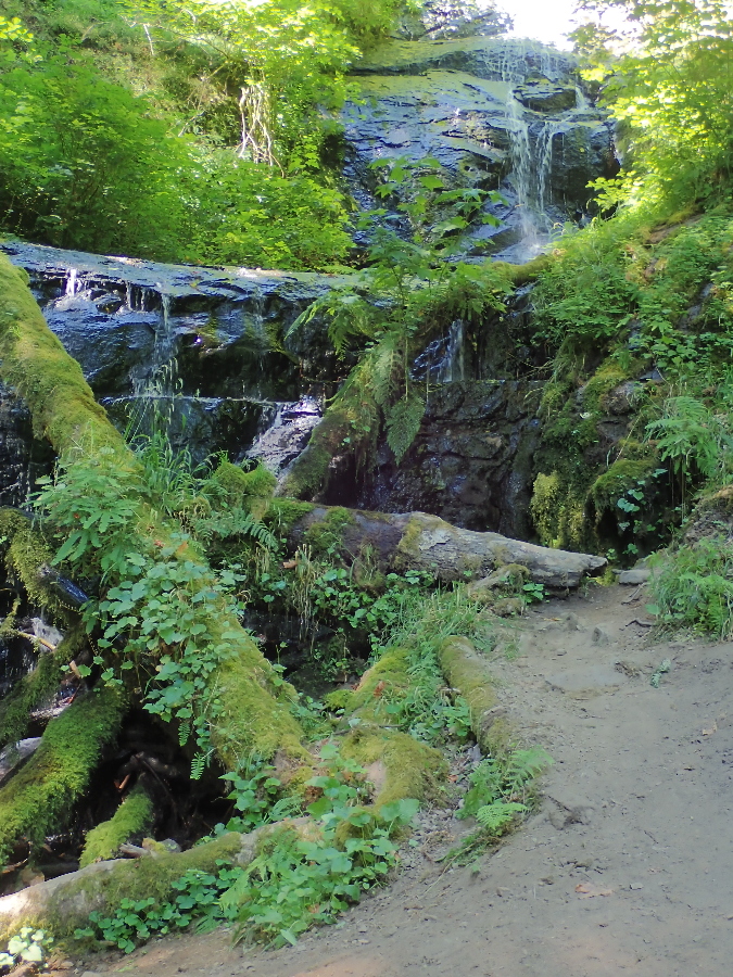
We also asked the Forest Service lady about a hike and waterfalls and she gave us Loon Lake. Most of the more spectacular waterfall hikes are further away east of Hwy 5 along 138 so we settled for nearby Loon Lake as something different from the coast. Really cute little lake, very family orientated and a nice associated campground. Some short hikes but the ranger acknowledged that most come here for the water sports and keeping rails clear of new growth was beyond their budget capabilities.
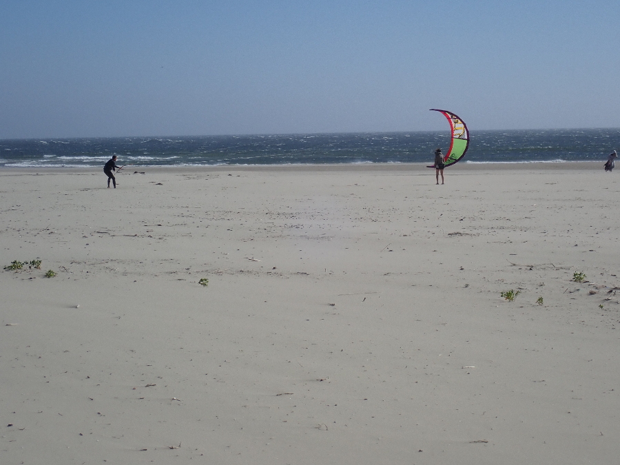
Next day we drove up to Newport and South Beach Park with a stiff wind blowing on the beach.
